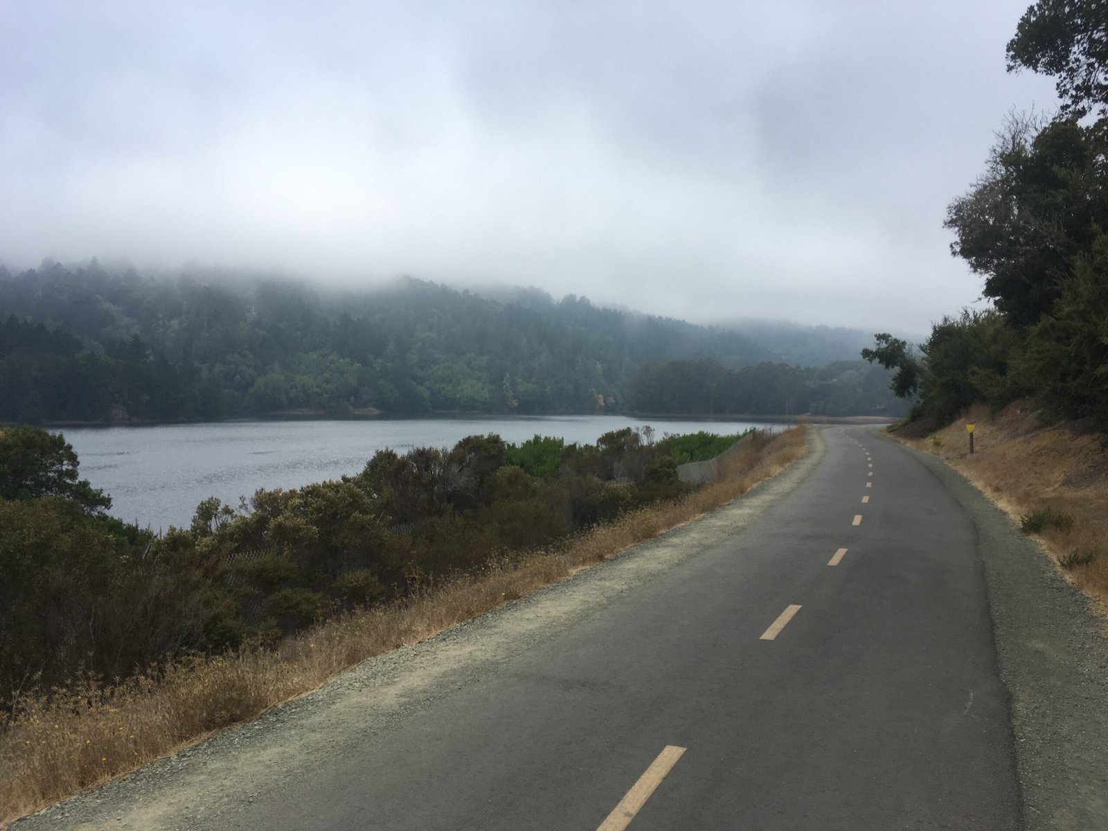
Sawyer Camp Trail
A 7-mile out and back hike bordering Crystal Springs reservoir from Sawyer Camp trail head
Crystal Springs Regional Trail
Crystal Springs Regional Trail is a multi-use, predominantly paved recreational trail that runs by the Crystal Springs Reservoir in the south and San Andreas Lake in the north.
CSRT is in three segments:
- San Andreas Trail (2.6 miles) in the north
- Sawyer Camp Trail (6 miles) in the middle
- Crystal Springs Trail (6.7 miles) in the south
Parking is mostly on the roadside, with well defined locations at Skyline Blvd & Crystal Springs Road (for Sawyer Camp trail) and Canada Road at Hwy 92 (for Crystal Springs trail).

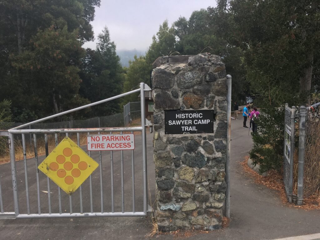
October 21, 2018 Sawyer Camp Trail
The southern end of Sawyer Camp trail can be accessed with available parking near Skyline Blvd & Crystal Springs Road. This 6-mile trail is the most popular of the three segments, favored by hikers, bikers, joggers and walkers alike.
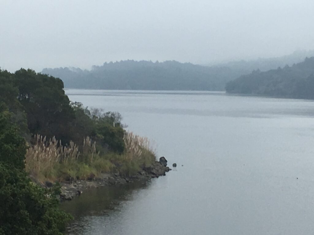
The trail hugs the Crystal Springs Reservoir on the left as it curves its way north.
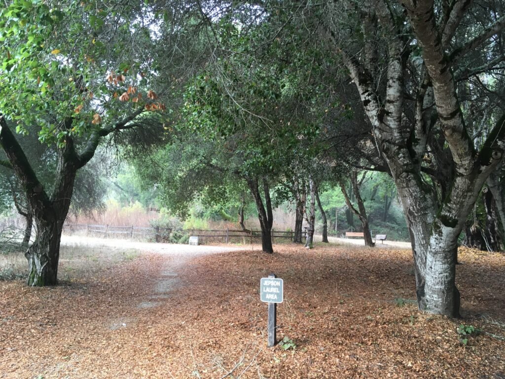
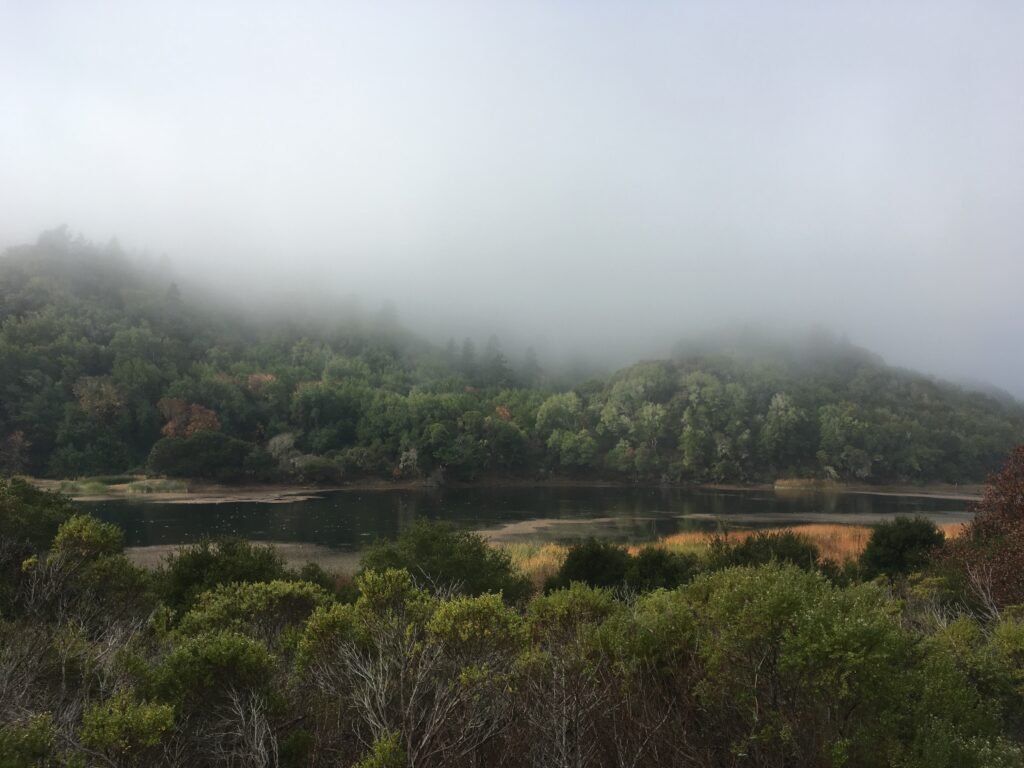
It was a mildly foggy start to my Sunday morning trek here. The fog and slight chill did not stop several cardio-enthusiasts head to this popular trail in the morning. Pressed for time, I only did a 5k (3.1 miles) out and back today. It was a beautiful sight with the reservoir and Santa Cruz mountains on one side and nice hills on the other. Whenever the trail veered away from the lake, it went through nice wooded sections of oak and bay trees. In fact, California’s oldest and largest bay tree, named Jepson Laurel is 3.5 miles from the southern end of the Sawyer Camp Trail.
Although this was a short trek, I told myself that I would be back to visit Jepson Laurel soon.

November 25, 2018 Sawyer Camp Trail
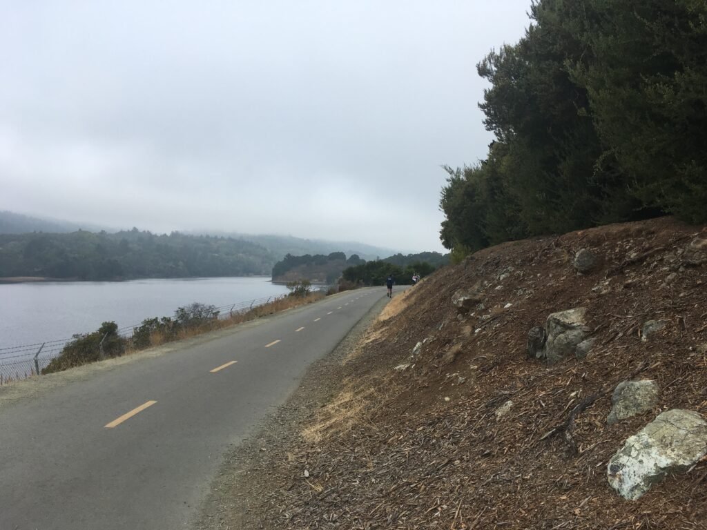
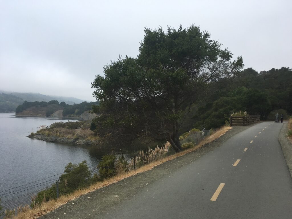
The Sunday after Thanksgiving, Jaya and I made our way back to Sawyer Camp Trail. If my previous visit was mildly foggy, this one was definitely even more dense. In fact, on the way out, the reservoir was barely visible. As with the previous visit the trail was very busy, the dense fog notwithstanding.
Our plan was to go all the way to Jepson Laurel area, making this a 7 mile out and back hike. At many places, we spotted deer by the side of the trail. They were quite used to human presence and did not flinch even when approached at close quarters.
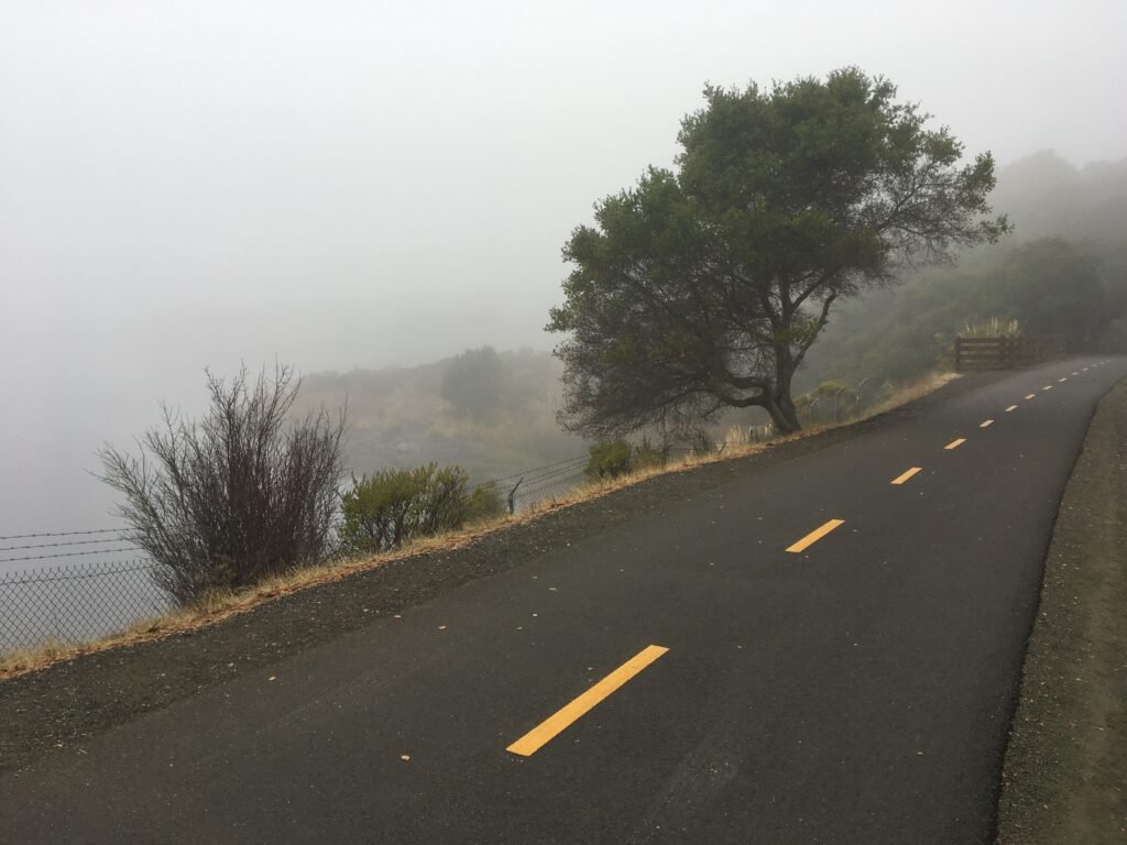
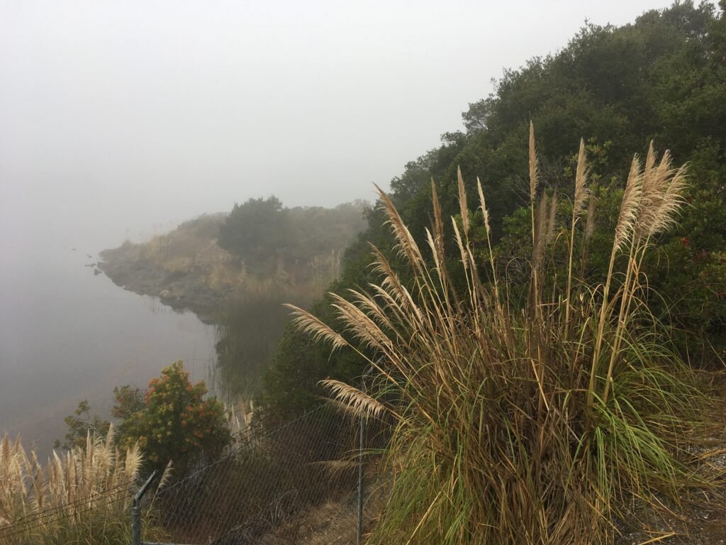
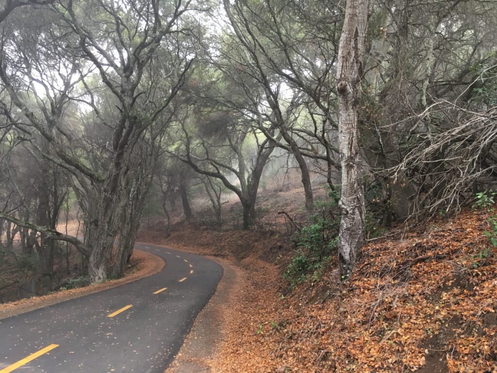

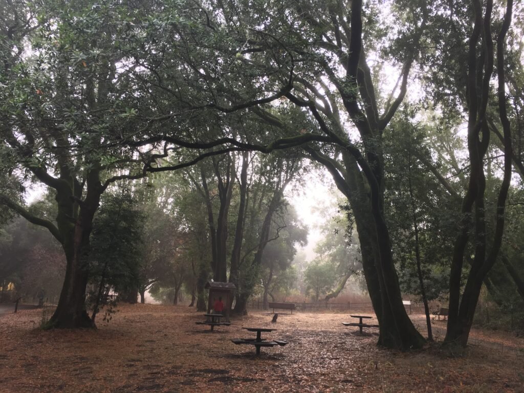
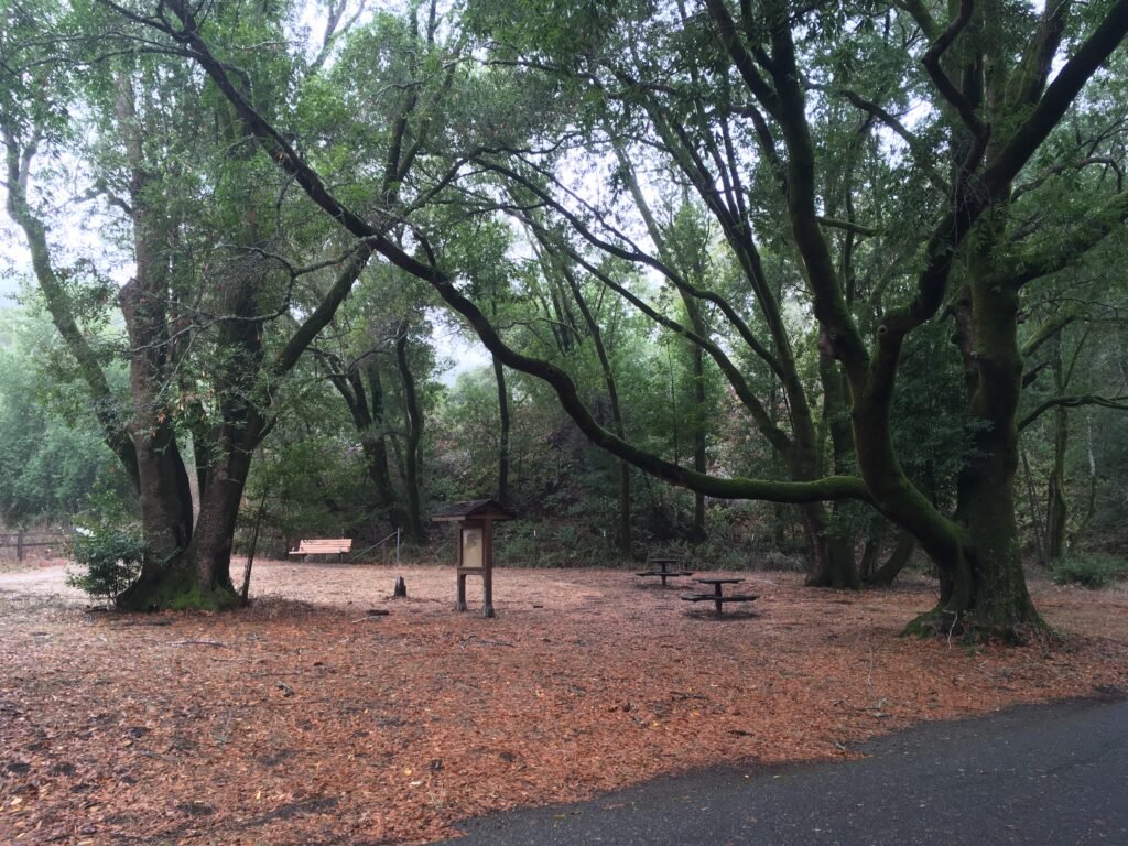
The scenery was similar all through the 3.5 mile stretch to Jepson Laurel area – the trail either hugs the reservoir, or goes through wooded segments with oak and bay trees. Jepson Laurel is a beautiful bay tree grove. We had set a decent walking pace of 3.5 mph and had reached the spot in about an hour.
After spending few minutes, we turned around. Sawyer Camp trail goes another 2.5 miles north for those interested in doing a longer outing.
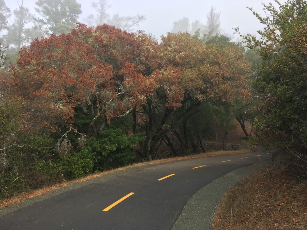
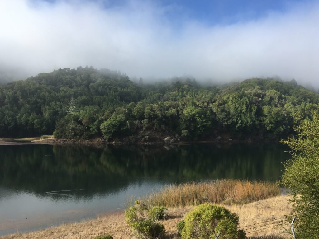
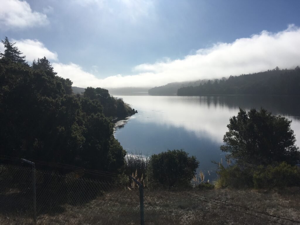
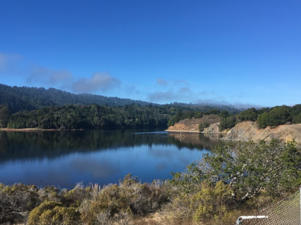
On the way back, the fog was lifting gradually. Every few minutes, the visibility improved as the reservoir slowly unfolded in all its glory to us. By the time we reached the trail head, the fog had completely lifted and the scenery was picturesque with blue skies dotted with some low-lying clouds setting the backdrop for the beautiful Crystal Springs reservoir.
Maintaining the same pace, we completed the 7-mile out and back trek in shy of two hours.
Here is the complete album of photographs from both outings at Sawyer Camp Trail.