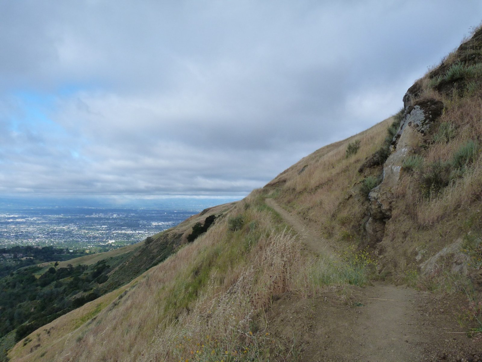
Upper Calaveras Fault
A 4.5 mile hike in Sierra Vista OSP covering Sierra Vista and Upper Calaveras Fault trails
May 24, 2017
Sierra Vista Open Space Preserve is in the eastern foothills of Santa Clara County, just north of Alum Rock Park. From Hwy 680, take Berryessa Rd exit, left on Piedmont Rd and a quick right on Sierra Rd. Plenty of free parking is available at the staging area that also accommodates equestrians. Managed by Open Space Authority (Santa Clara Valley), this preserve offers sweeping views of the valleys in the west and Diablo mountain range on the east.
In fact, the parking lot and staging area actually is a vista point, with impressive views of the valleys, mountains and urban landscape.
Most of the trails in this park are located south of Sierra Rd. I started out by Kestrel trail, a short 1/4 mile single track trail from the parking lot. At the junction of Sierra Vista trail, I turned left and headed east into the park, towards the Calaveras Fault trails. On the western side is the Boccardo Loop trail.
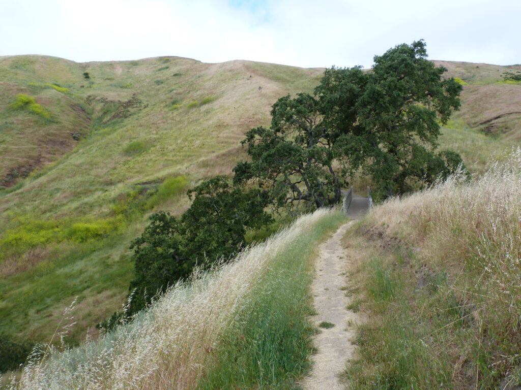
The 3/4 mile stretch by Sierra Vista is beautiful, with deep valleys on one side, mountain slope on the other. The single track dirt trail hugs the mountain slope and goes through grasslands offering great views of the hills on the other side of the valleys.
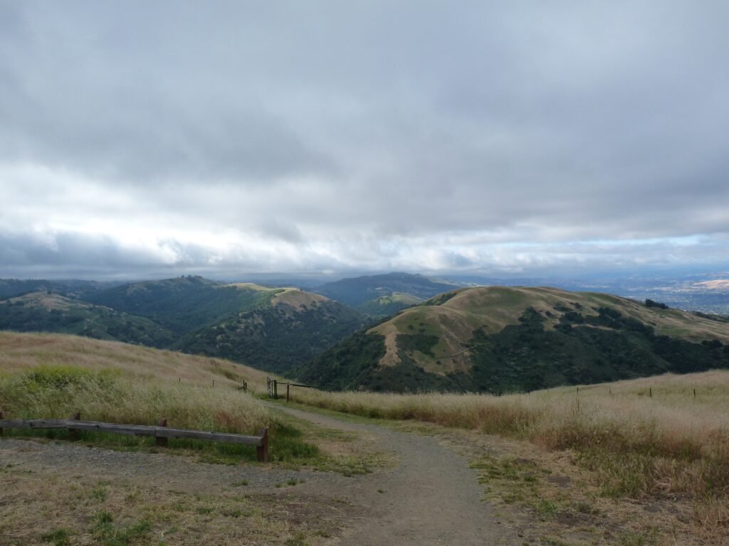
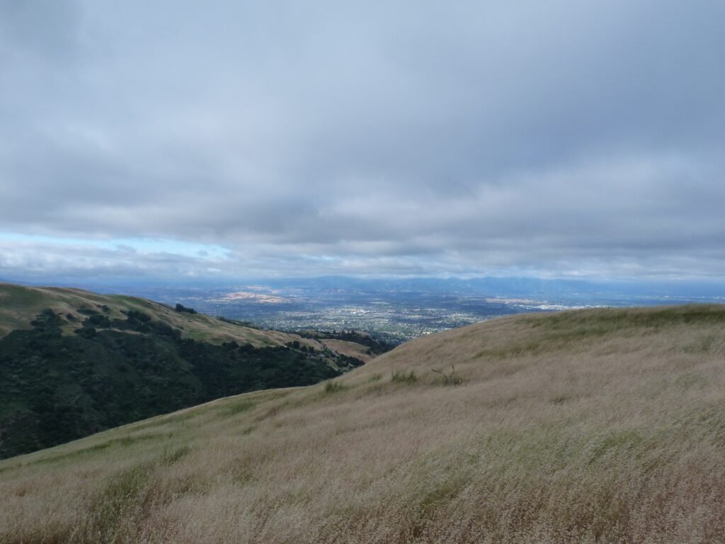

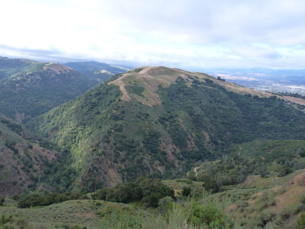
Take a moment to pause by the bridge and take in the impressive mountain side. It was also filled with bright yellow wild flowers typical in spring time.
At the next intersection, I took the Upper Calaveras Fault trail. Until now, the hike was fairly easy, as the trails were moving downhill. The next 1/2 mile or so is an uphill stretch as the trail widens to a fire road.
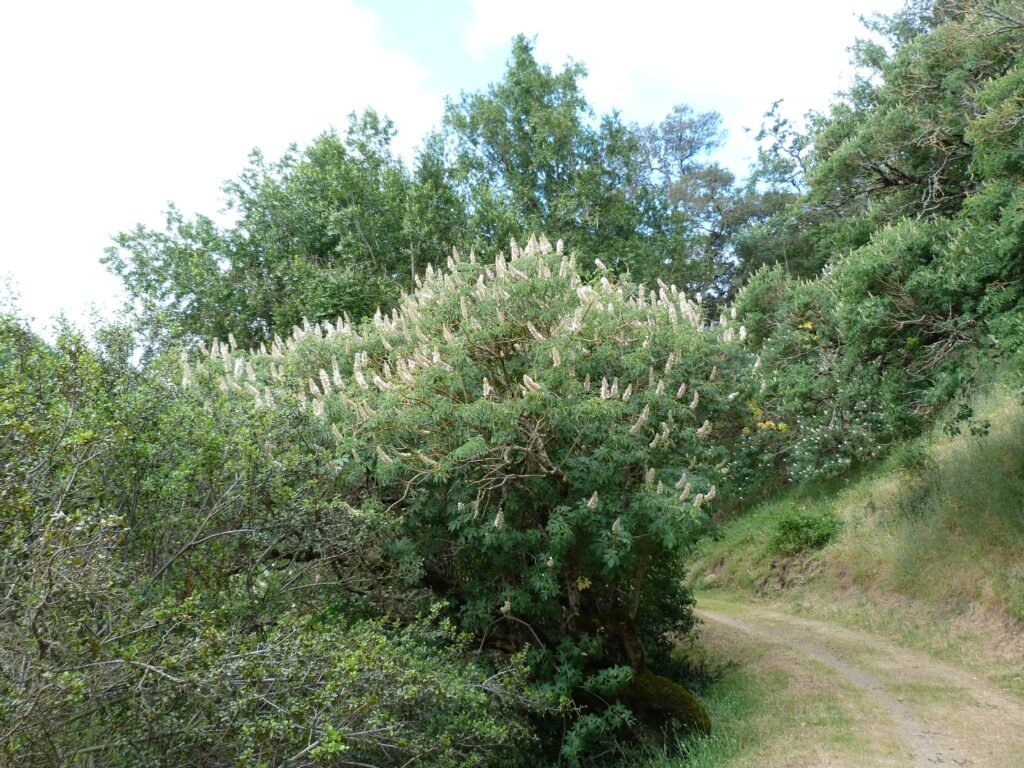
The trail comes to another gate by Sierra Rd and becomes a proper fire road heading further east into the park. From the cutoff trail junction, Calaveras trail takes on a different characteristic, going through oak woodlands flanked by colorful spring flowers on either side.
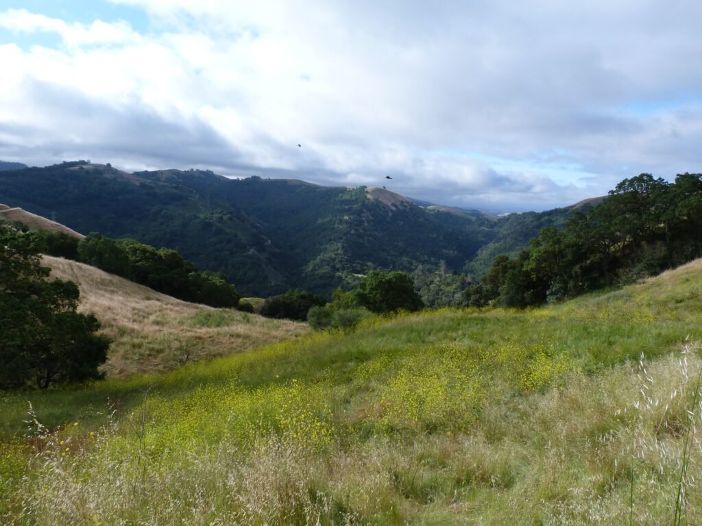

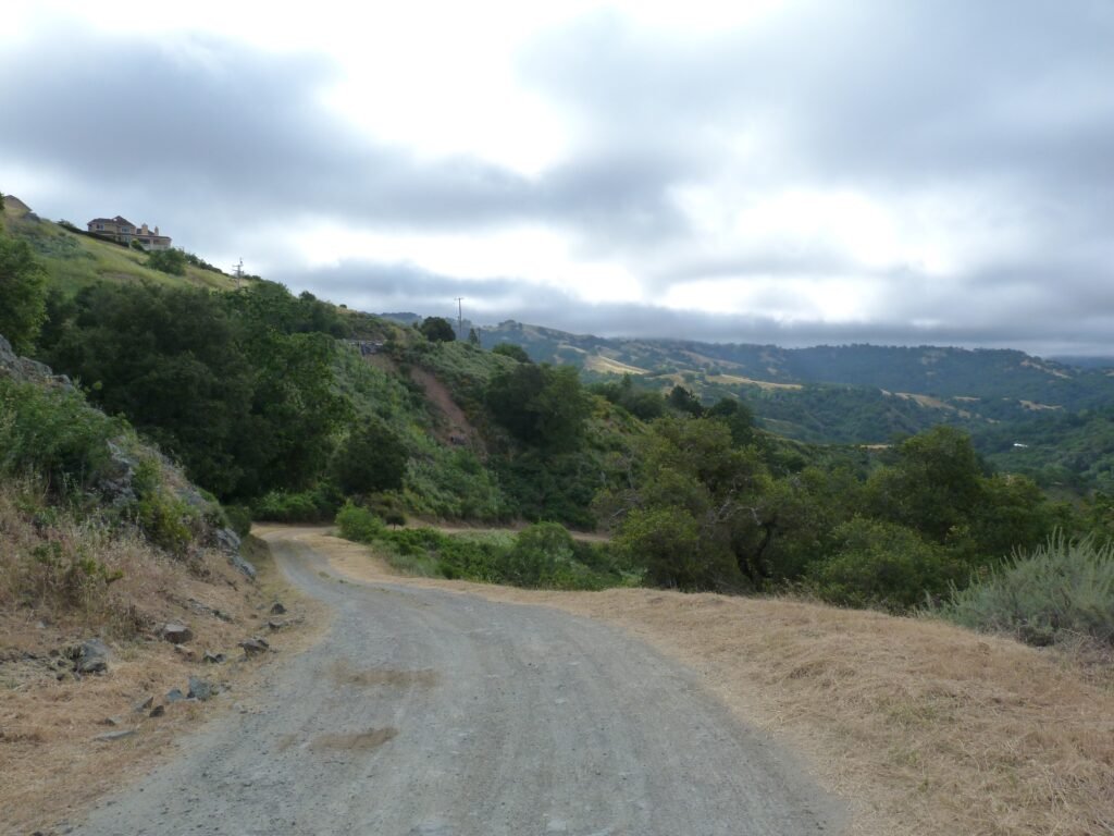

After taking a short breather at the picnic table in – which also happens to be at the lowest elevation point in Upper Calaveras trail, I continued the climb up, heading west from here. It is possible to do a 5.2 mile out and back by the Lower Calaveras trail to extend the hike. The park literature mentions a nice vista point at the very end of this hike. Nursing a foot injury, I passed on that option and headed back by Sierra Vista trail, completing the 2.5 mile loop on the western end of the park.
From here, it was retracing the steps by Sierra Vista trail to Kestrel trail and to the parking lot. Walking west, the views of the urban landscape and San Jose downtown will be ahead of you.
Again, for those desirous of extending the hike, at Kestrel trail junction, one could go ahead and complete the Boccardo Loop trail.
The 4.5 mile moderate intensity hike involved an elevation gain of about 1000 feet. Another visit to this preserve is certain, to do the Boccardo Loop and Aquila Loop trails.

Here is the complete album of photographs from my first hike at Sierra Vista OSP covering Upper Calaveras Fault trail and the Sierra Vista trail.