San Bruno Mountain State Park
A 6.5 mile hike covering both Summit loop and Saddle loop in San Bruno Mountain State Park
March 11, 2017
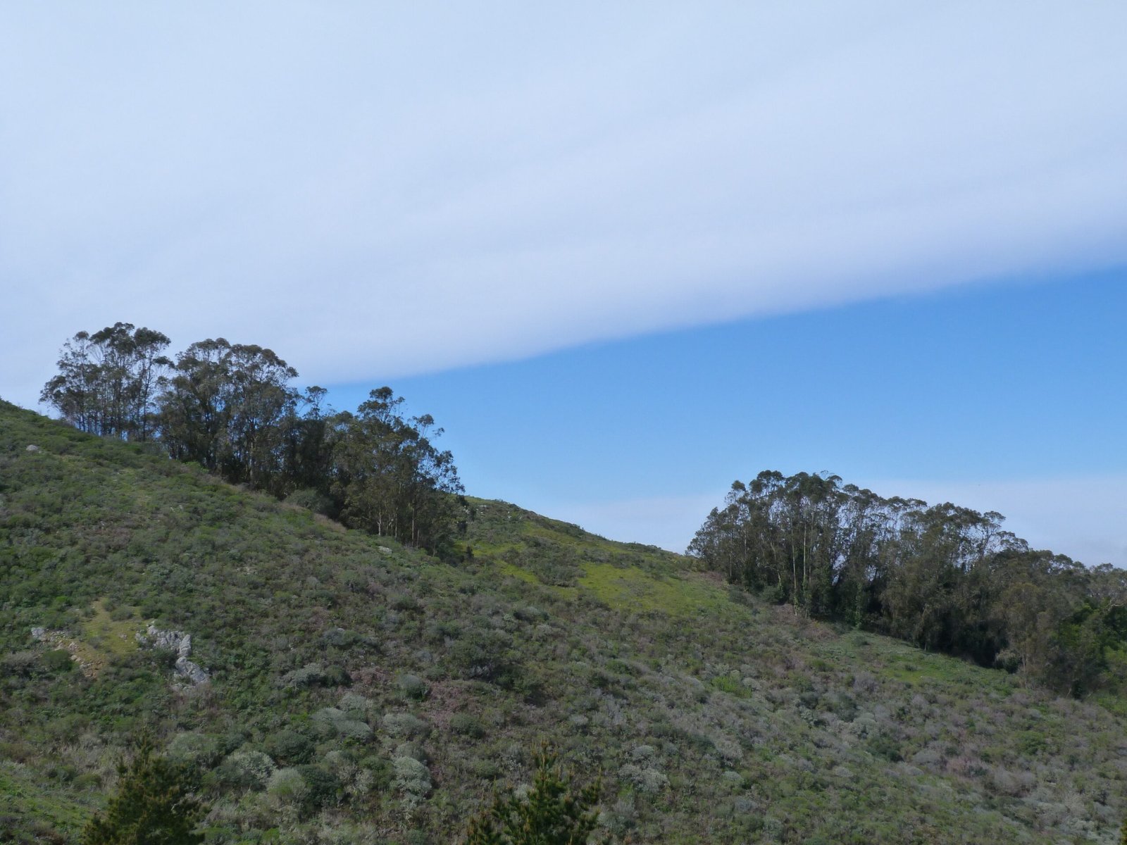
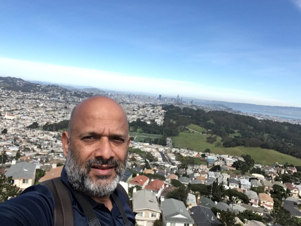
A joint effort from California State Park & San Mateo County saved this pristine mountain from developers who wanted to build homes on its hills like the one pictured. Part of the Santa Cruz mountains, this is the northernmost part of the range with San Bruno Mountain standing 1314 ft. tall.
San Bruno Mountain State & County Park is located at 555 Guadalupe Canyon Parkway in Brisbane that can be reached easily from both Hwy 101 or 280. There is a $6 day use fee that must be paid in cash (no change is given) – be sure to carry exact amount before you head to this park.
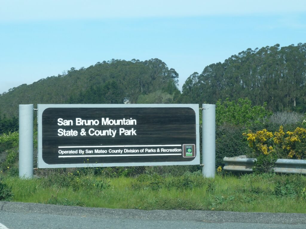

Summit Loop Trail
The park has trails north and south of Guadalupe Canyon Parkway, with the mountain summit on the south side. A quarter mile walk from the main parking lot will get you to the trailheads on the south side.
Summit Loop trail is a 3.1 mile loop gaining ~700 ft. to the highest point. I did the Summit Loop in a counterclockwise direction. The ascend is more gradual and spread over 2+ miles in this direction. Should you choose to go clockwise, be prepared for some brisk climbing for the first mile.
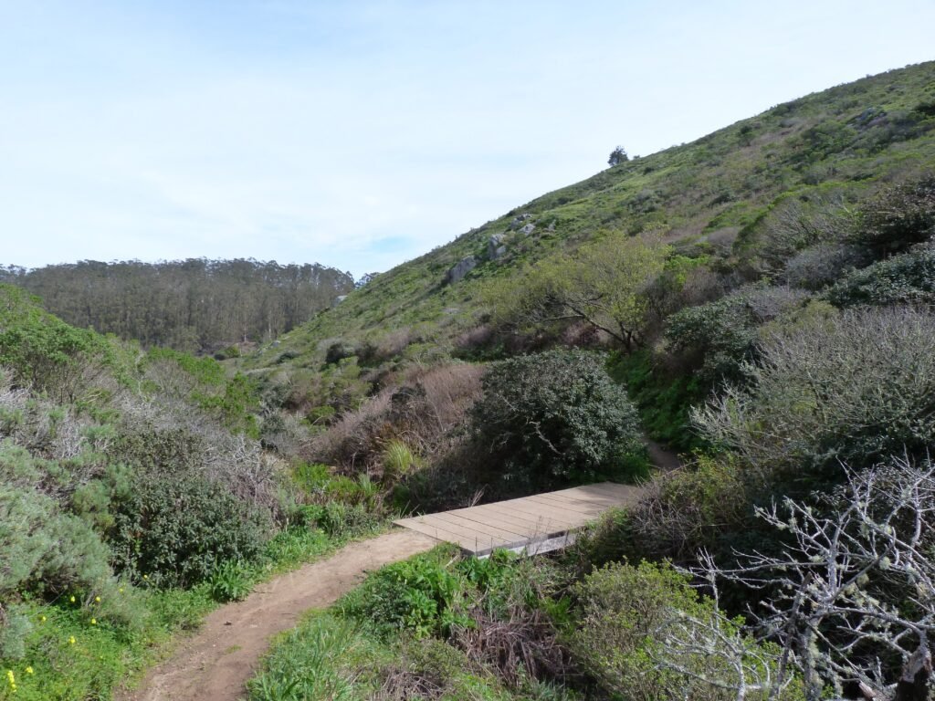
The first portion of the hike is dotted by riparian creekside plants with several small wooden bridges easing your path across the creeks. This section of the loop descends from the trailhead and after crossing April creek, the largest of the lot, you will be on the slopes of San Bruno Mountain and start climbing rest of the way to the summit.
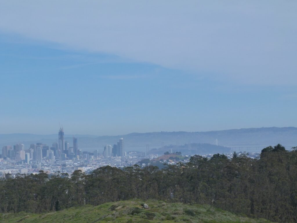
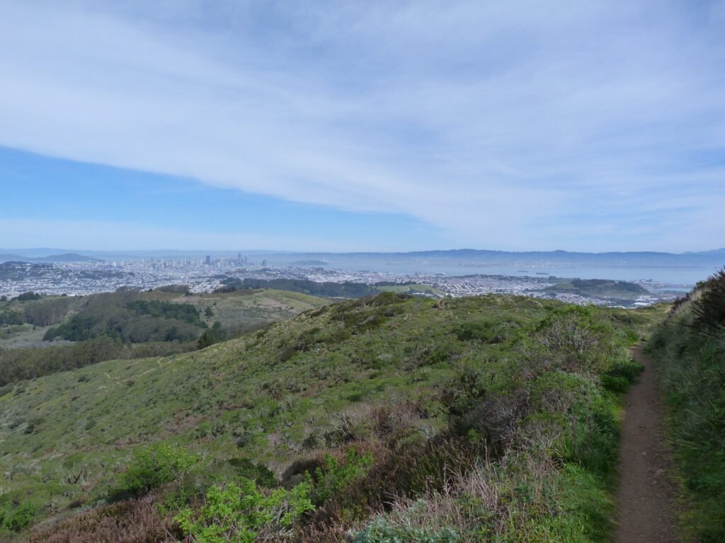
As you start climbing San Bruno Mountain, you will be rewarded with picturesque views of San Francisco city and its skyline, Marin Headlands & Golden Gate bridge and Pacific ocean. The scenery gradually shifts providing different angles to the iconic locations up north and east.
The visibility was not the best today, still, it was not difficult to spot Mt. Tamalpais in Marin and Mt. Diablo on the east. The thin layer of cirrus clouds provided sharp contrast to the blue skies with a gentle breeze making the climb quite enjoyable.
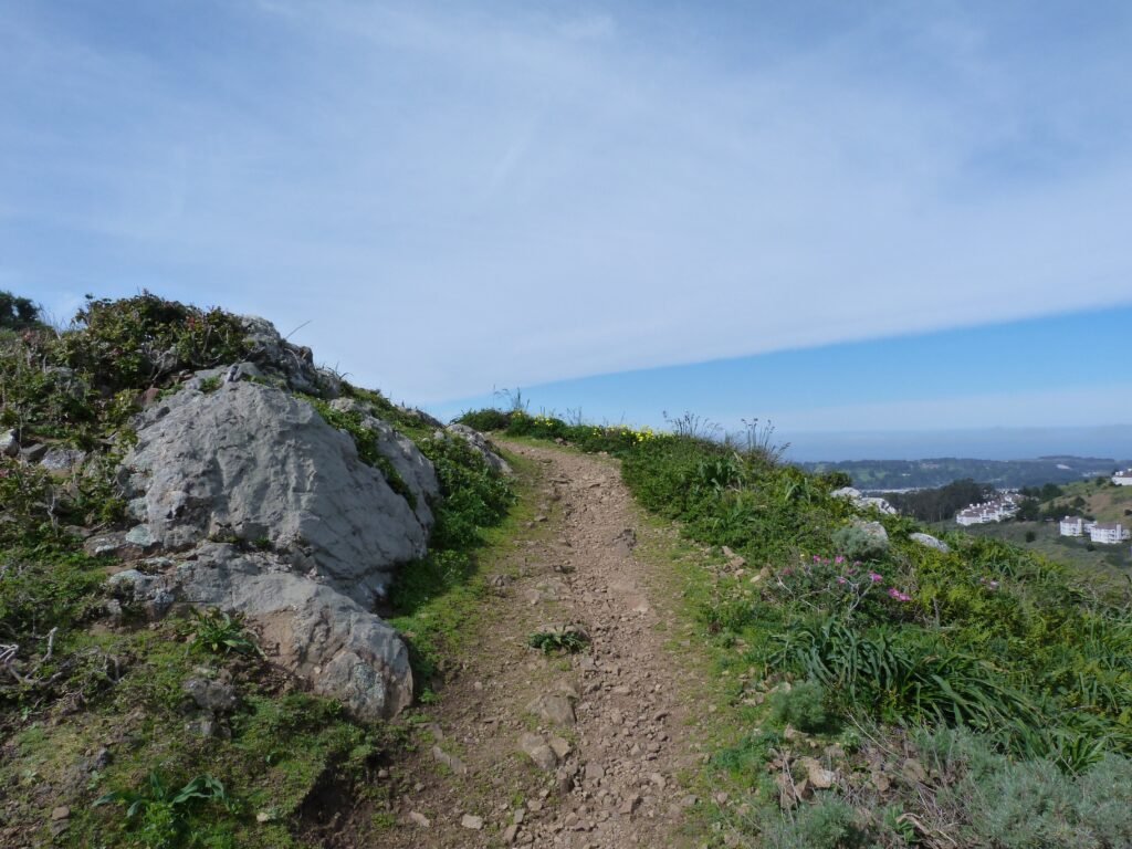
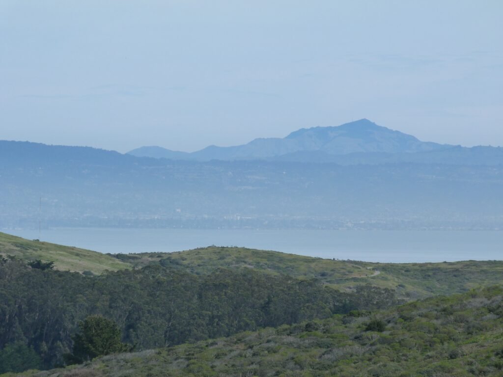
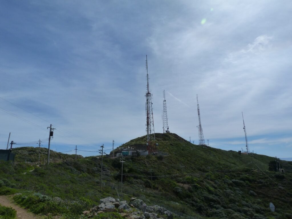
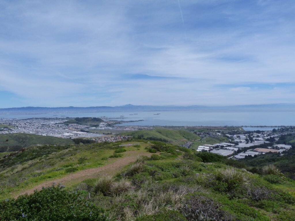
More than two miles into the hike, the trail crosses Radio road at the summit where there are a bunch of radio transmission towers. Right after you cross the road, there is a brilliant vista point offering 270° view of the bay, covering all the way from the ocean & Marin to Oyster point and everything in between.
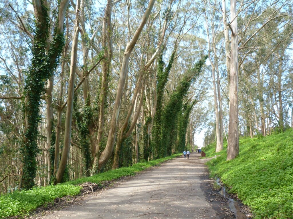
From here, the trail descends rapidly and reaches the trailhead in less than a mile. Along the way, it overlaps briefly with Eucalyptus trail going through a grove of eucalyptus trees.
Saddle Loop Trail
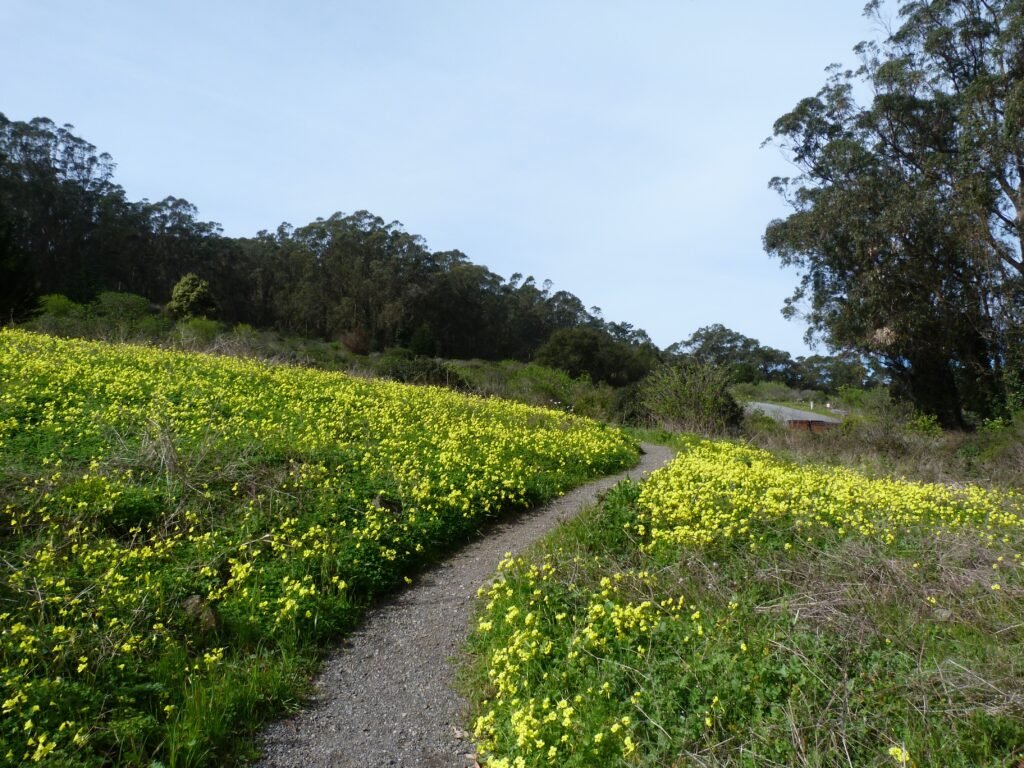
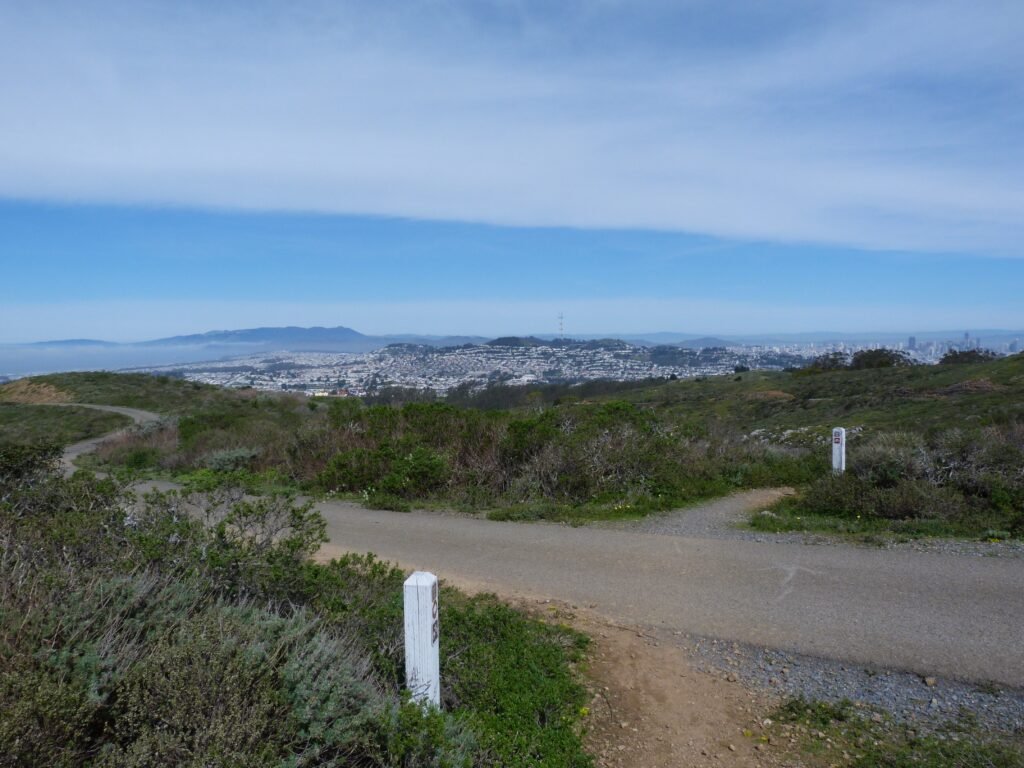
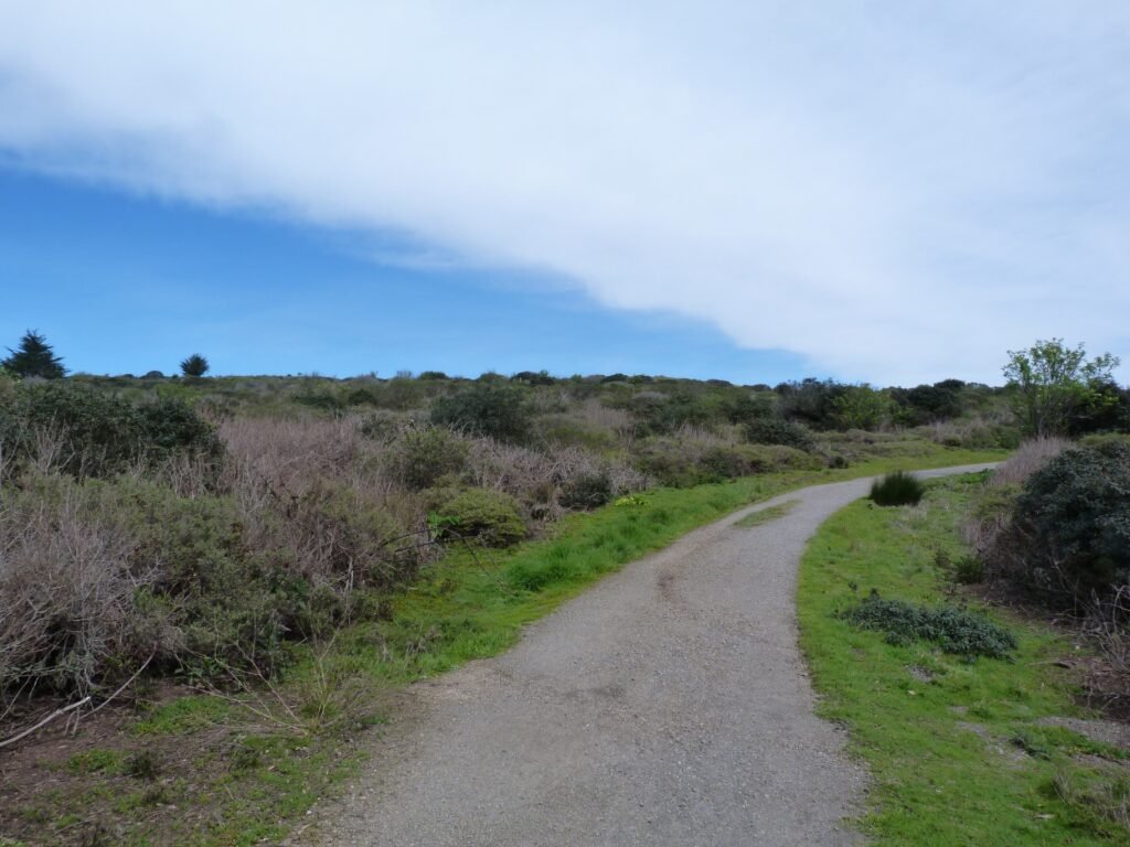
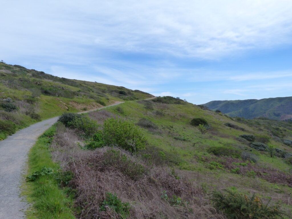
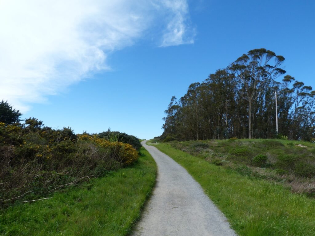
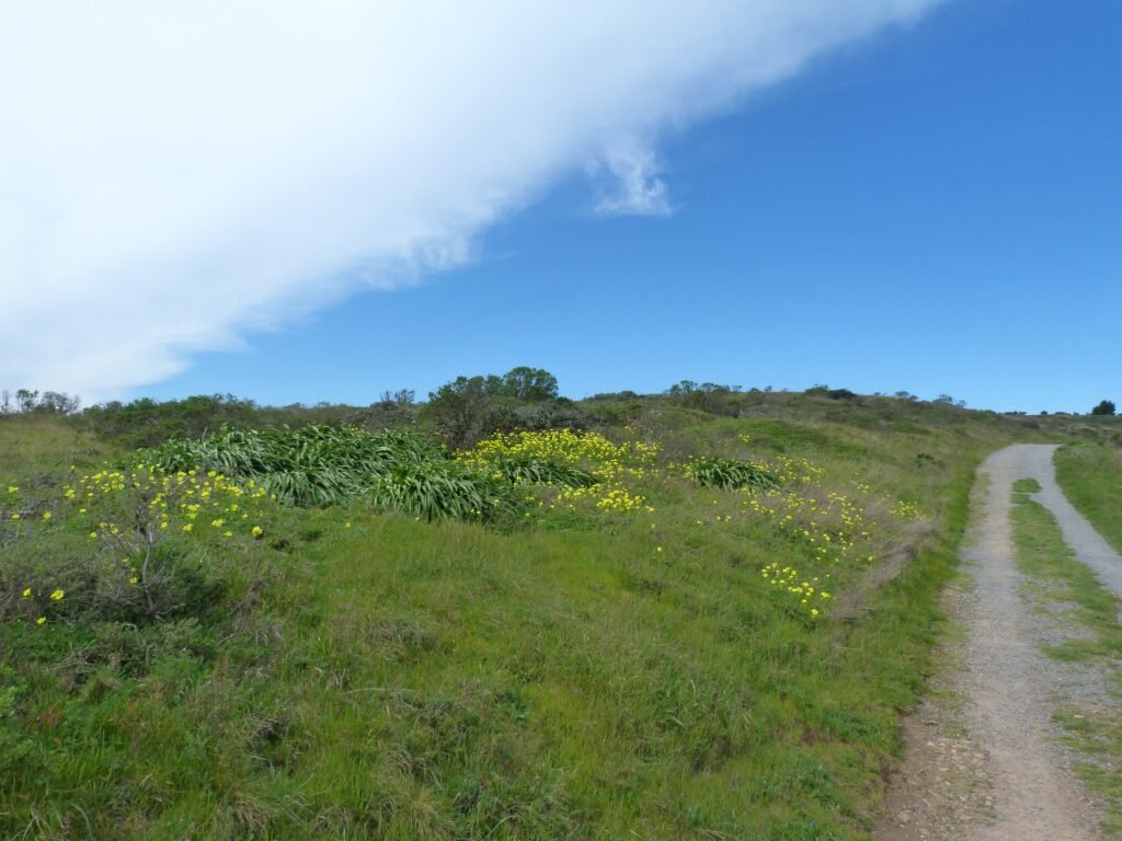
Walking back to the main parking lot, I continued to explore the northeastern side of the park. The Saddle Loop trail starts right behind the picnic area. In sharp contrast with Summit Loop trail, a narrow, single track dirt trail, this is a wide gravel trail set amidst gentle rolling hills and open grasslands with expansive views all around.
I did this loop also in a counterclockwise direction. The views of SF skyline and east bay was that much closer from this side connected by the bay bridge. Spring was certainly in the air, with colorful flowers dotting the trails on either side even though it is not officially spring yet.
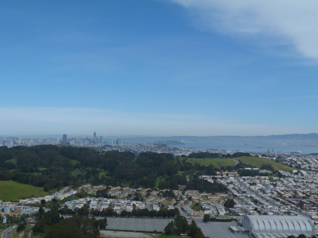
Don’t miss stopping at the vista point in the northeastern most point of the park – it is easy to spot with a bench and a small hill to climb, taking you slightly away from Saddle Loop trail.
Saddle Loop ends at Old Guadalupe trail, a proper paved blacktop road. Turning left, I walked a short distance by the trail before taking Bog trail, another single track dirt trail to the main parking lot.
All told, this added up to a 6.5 mile hike with about 1000 ft. in elev gain. Beginners can easily do the Saddle Loop trail (less than 3 miles, ~250 ft. elev gain) and still get to enjoy excellent views while seasoned hikers would enjoy the moderate climb to San Bruno Mountain summit.
Here is the complete album of photographs from my San Bruno Mountain hike.