Day 9 Part 2: Richmond → El Cerrito
June 26, 2017
My Lyft driver dropped me at Washington Ave & Western Dr in Point Richmond. A short walk by Western Dr got me to Keller Beach Park where a mural in Point Richmond was done in honor of a local citizen, Peter Minkwitz.
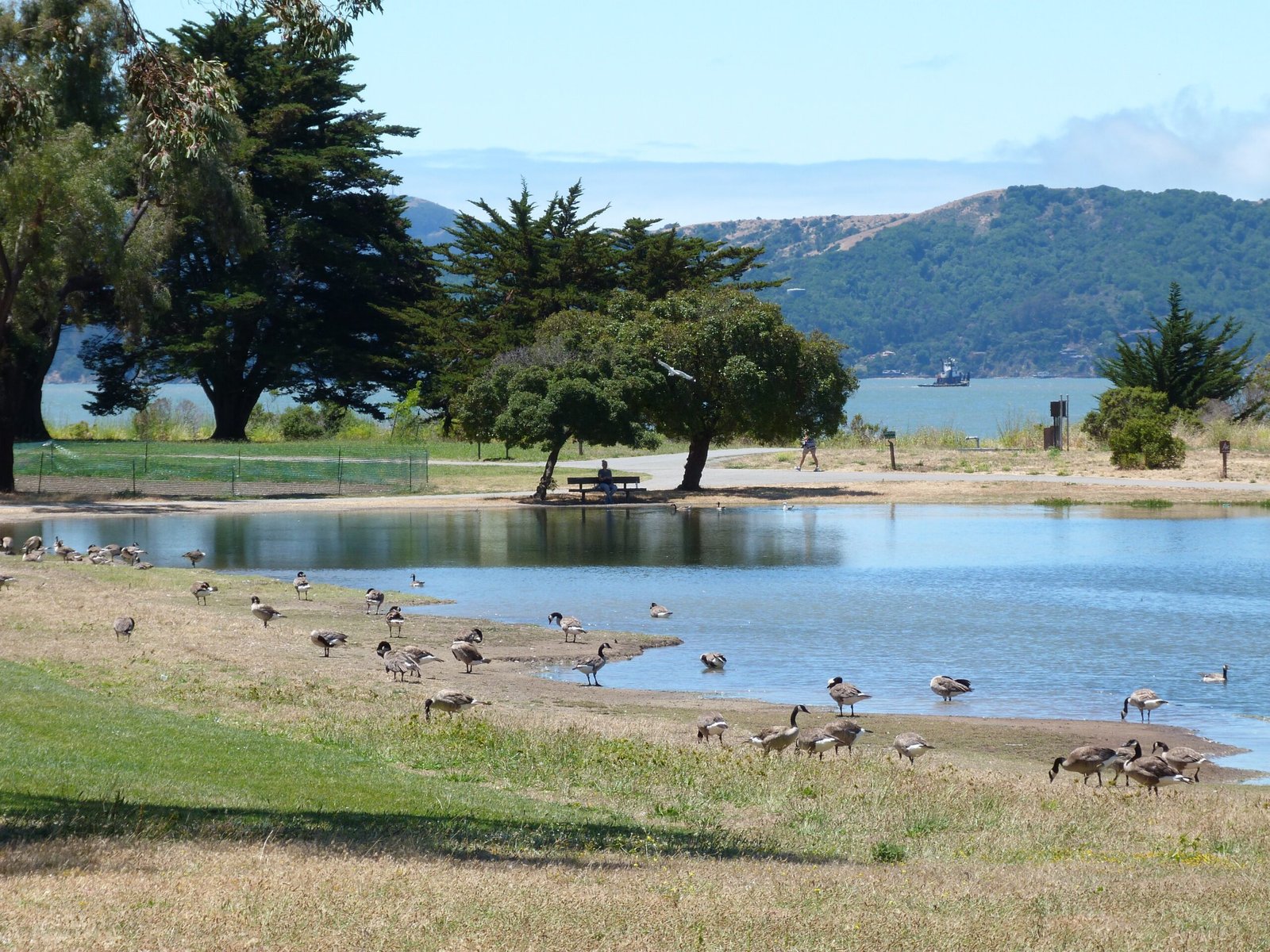
The park seamlessly blends into Miller/Knox shoreline which is also has lagoon and is home to plenty of shorebirds. I had my lunch break at this spot, enjoying the views of the lagoon and the bay beyond.

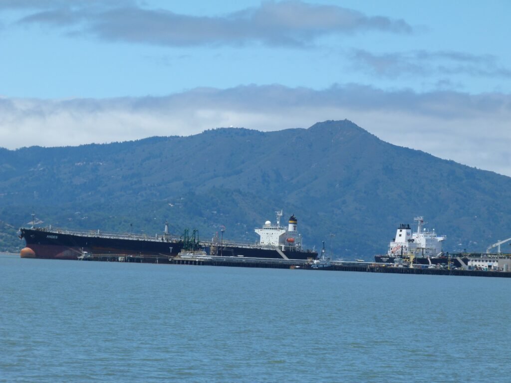
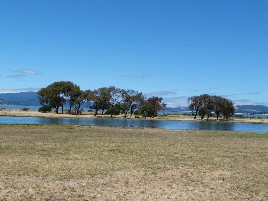
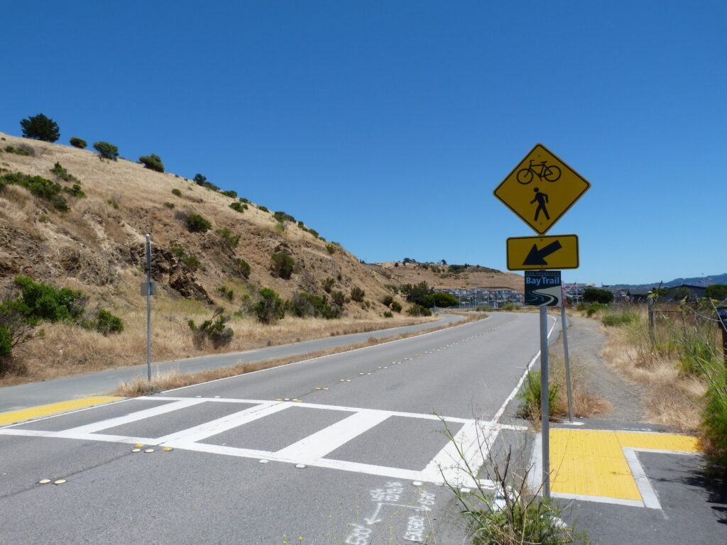
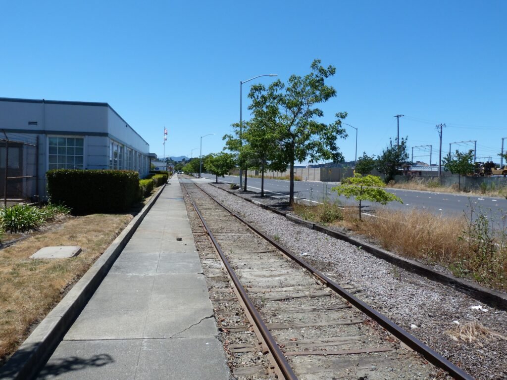
The next 5 miles of walk by Brickyard Cove Dr, Seacliff Dr, Canal Blvd, Cutting Blvd, Hoffman Way and Harbor way was the driest portion of the three days. Brickyard Cove goes by a new residential neighborhood with lots of new apartment complexes. Beyond that is an industrial zone, largely belonging to Kinder Morgan with petroleum pipelines running under the trails. Cutting Blvd is home to some specialized boat manufacture and repair shops. There were portions of the bay trail that was running right by the rail tracks in the busy industrial zone. Doing this stretch any time will be boring; especially so in the post lunch session which was the hottest part of the day!
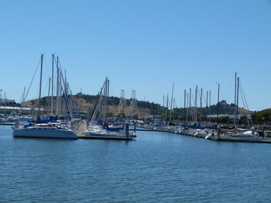
It was a relief to come to Harbor Way where the scene gradually changed from industrial to commercial leading up to Richmond Marina.
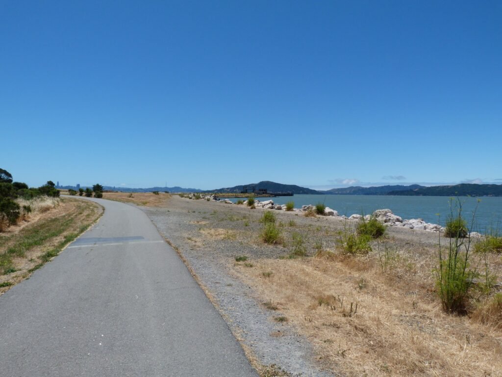
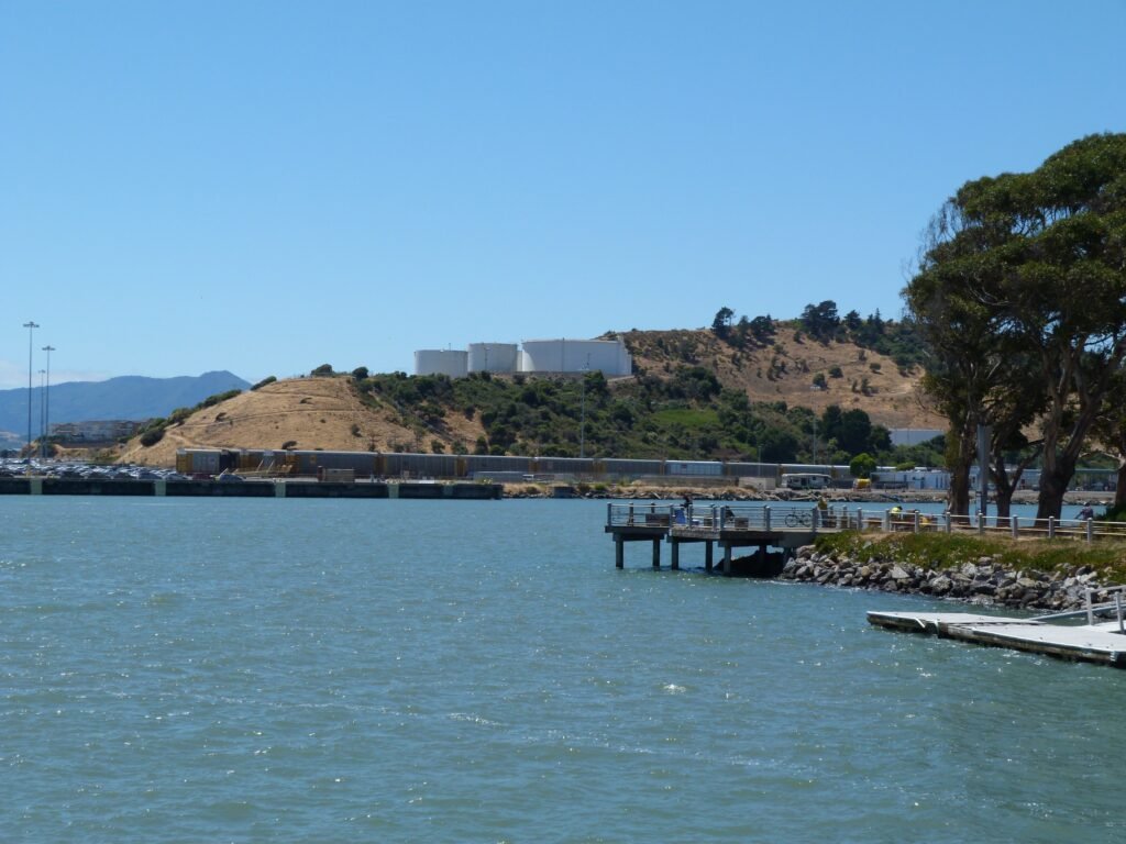
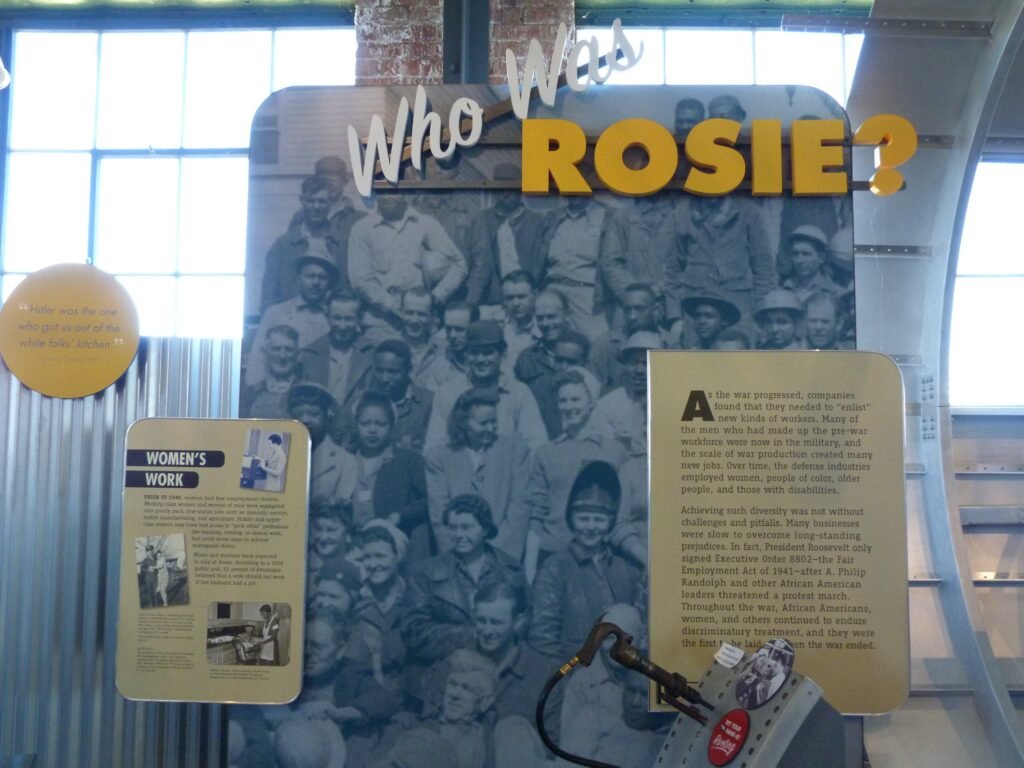
Richmond Marina is a nice 2 mile walk around a no wake waterfront. From here, you can clearly see Brooks Island, one of the reserves that requires special permission to visit from EBRPD. The area also has a museum celebrating Rosie the Riveter, one of the first women who broke the job scene during WW II.
In sharp contrast to the previous stretch, the bay trail is very nicely done around the marina, with colored cement blocks lining the steps much of the way. The almost square block comes to an end at Barbara and Jay Vincent neighborhood park.
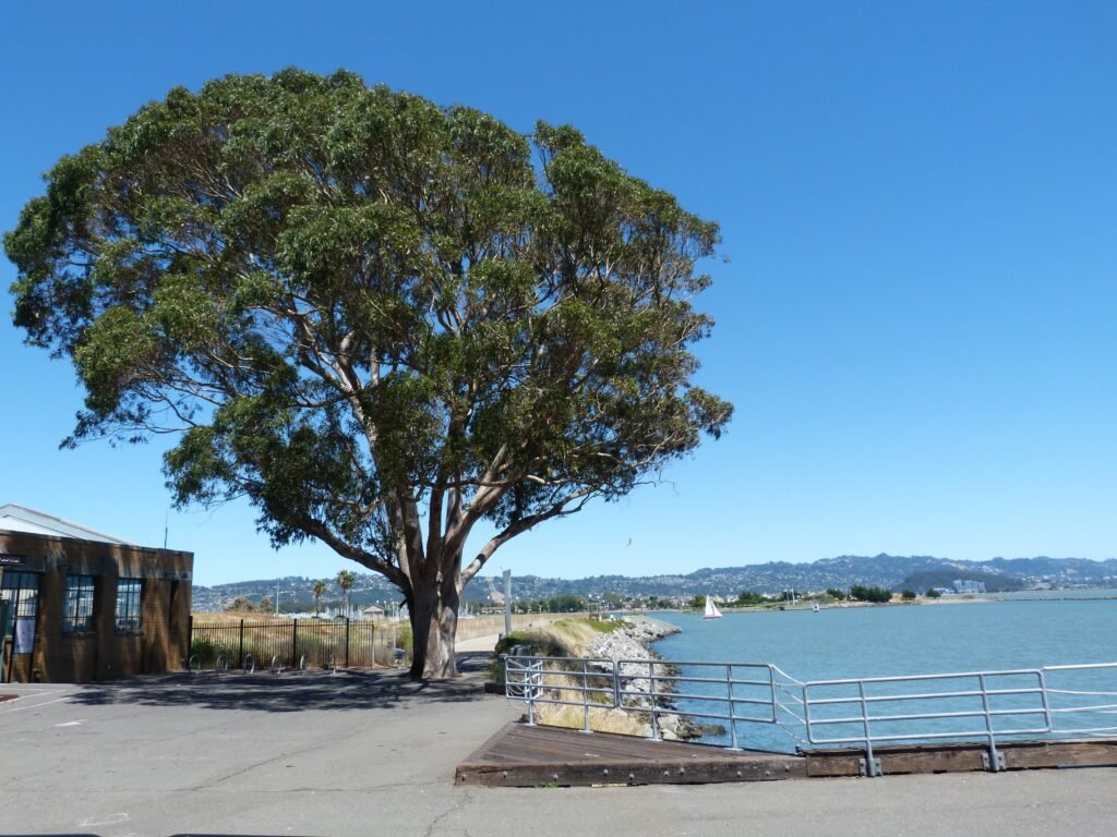
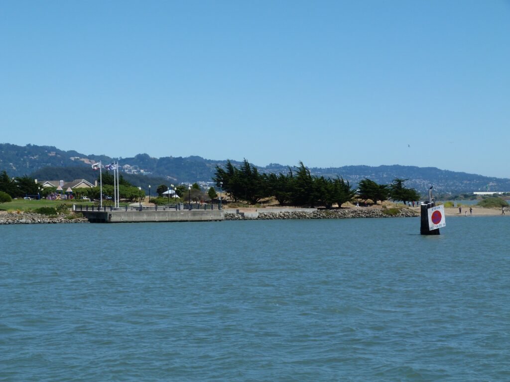

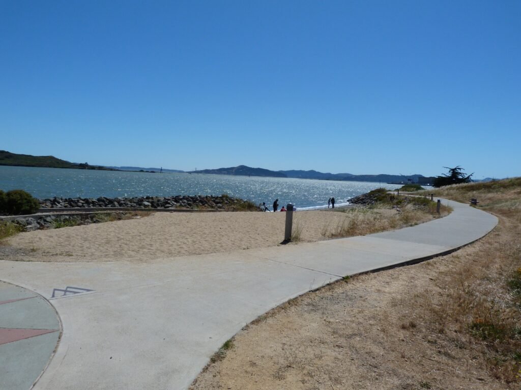
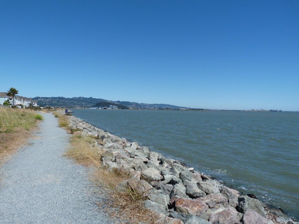
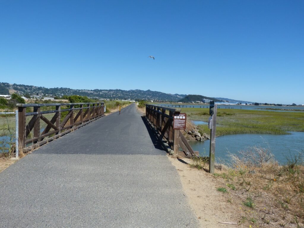
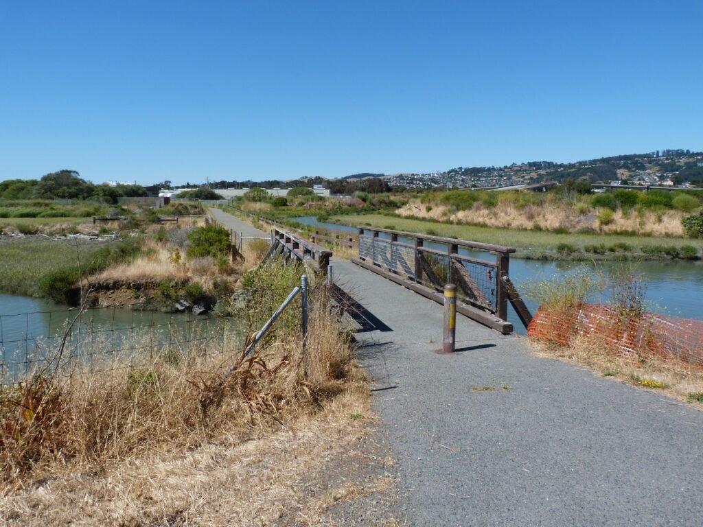
From here, the bay trail hugs the coastline, making its way towards Point Isabel. Initially, it runs by a new residential complex, but soon leaves that behind to be flanked by the bay on one side and marshland on the other. It was high tide and nice to see the marshlands and sloughs filled with water.
The trail offers an out at S 51st street to enter Richmond/El Cerrito cities. I took that and made my way to my digs for the evening, a motel on Carlson Blvd situated a mile away from the trail. While no comparison to The Lodge in Tiburon, America’s Best Value Inn provided me a decent bed and room to rest my weary feet.

Key Stats from day 9 afternoon session
- Distance covered: 11 miles (phase 2 map)
- Elapsed time: 4 hours and 15 minutes, including breaks
- Breaks: about 20 minutes
- Cities: Richmond
- Dog friendly segments: the entire stretch
Here is the complete album of photographs from the afternoon session of Day 9.