Day 9 Part 1: Tiburon → Larkspur
June 26, 2017
The plan for today was in two parts. From Tiburon, cover the eastern portion of the peninsula and make my way to Larkspur Ferry Terminal in the morning, logging ~12 miles. And continue the walk from the other side of Richmond bridge to El Cerrito adding ~11 more miles in the afternoon.
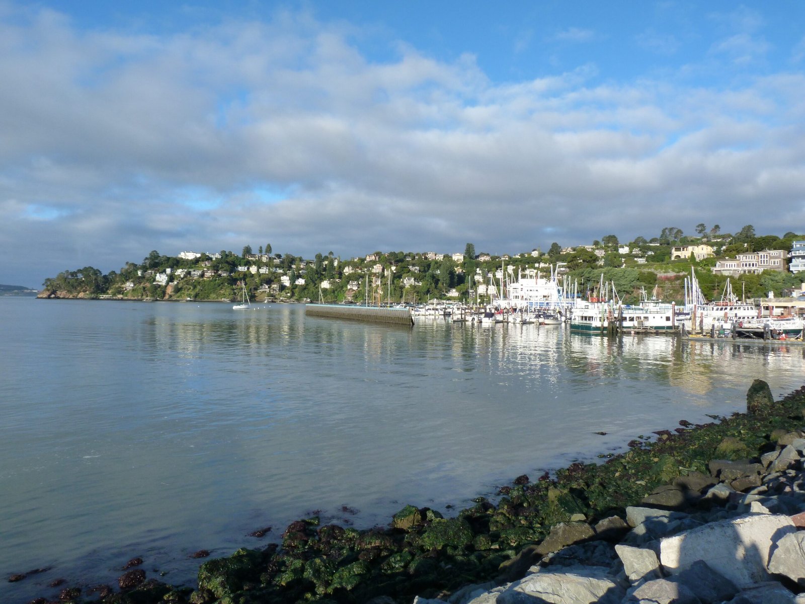
It was a beautiful, sunny, windless morning in Tiburon when I started off. Every local resident I met couldn’t help but remark about it; one person even mentioned that such mornings are rare in this peninsula.
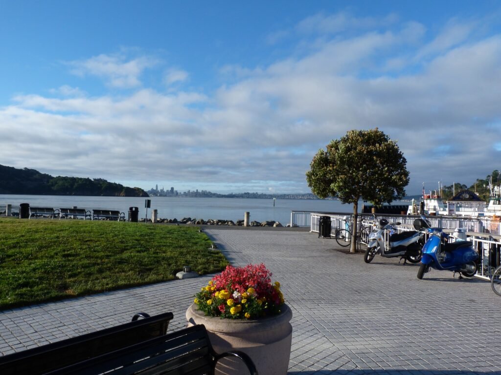
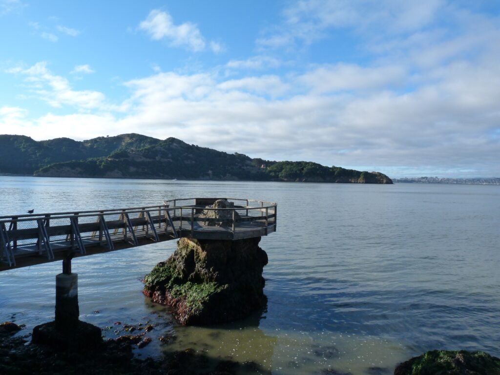
Spending some more time enjoying the views from the Tiburon ferry terminal area, I walked eastward. Very quickly, I came up on a pier with an unusual construction with the platform going round a rock set on the bay. I will call it The Caprice rock/pier as it was located right by a restaurant with that name.
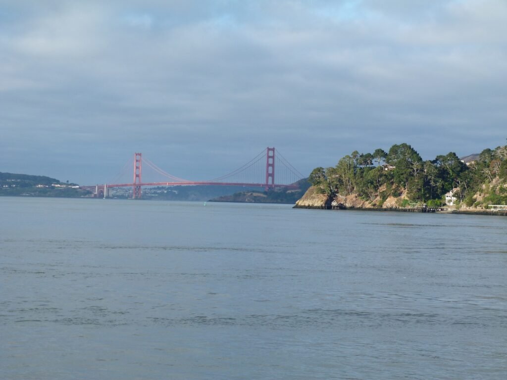
The eastern portion of the peninsula is more rural, with the Tiburon Uplands Preserve on one side and some real exclusive homes on the bayside enjoying breathtaking views. The walk took me by the local landmark, Lyford Stone Tower, amusing threats of cars being towed to Sacramento to respect No Parking signs and shaded winding roads for about 3 miles before coming to Paradise Beach Park.
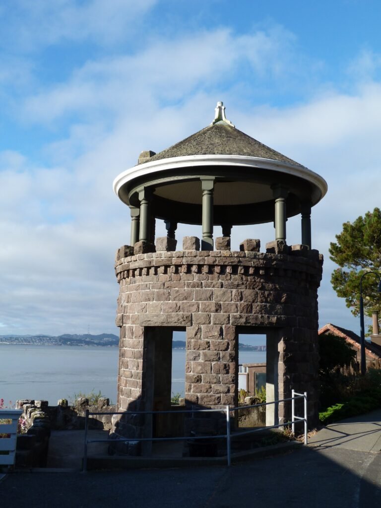
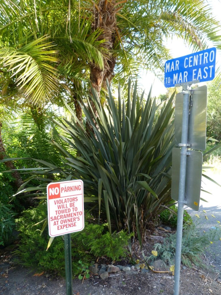
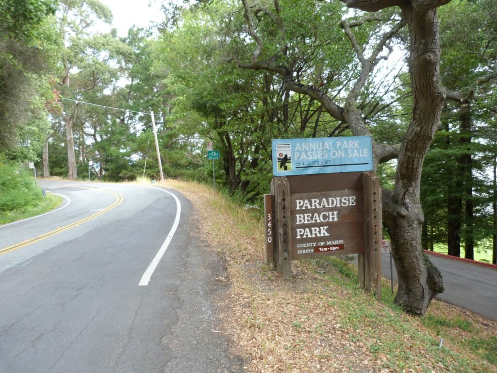
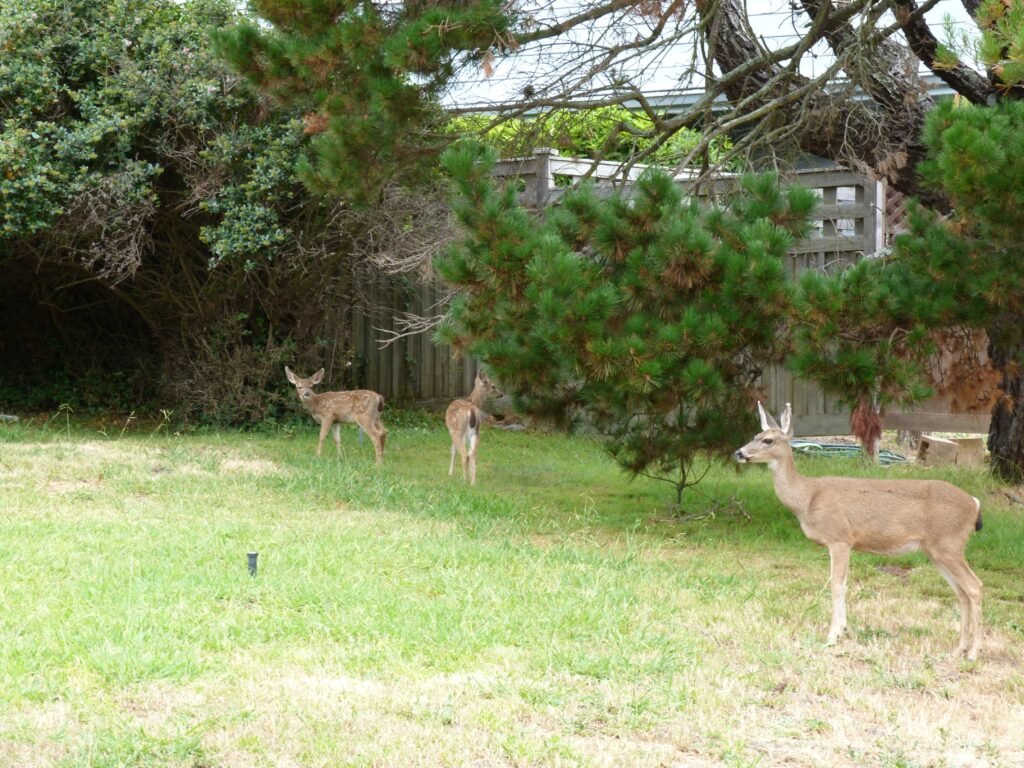
I made the side trip into Paradise Beach Park before continuing further by Paradise Dr. The next 5 miles was close to my experience in the previous stretch – upscale, exclusive homes, fine bay views amidst winding roads. I chanced upon a family of two young fawns and their mother who showed up at different spots that were couple of miles apart!
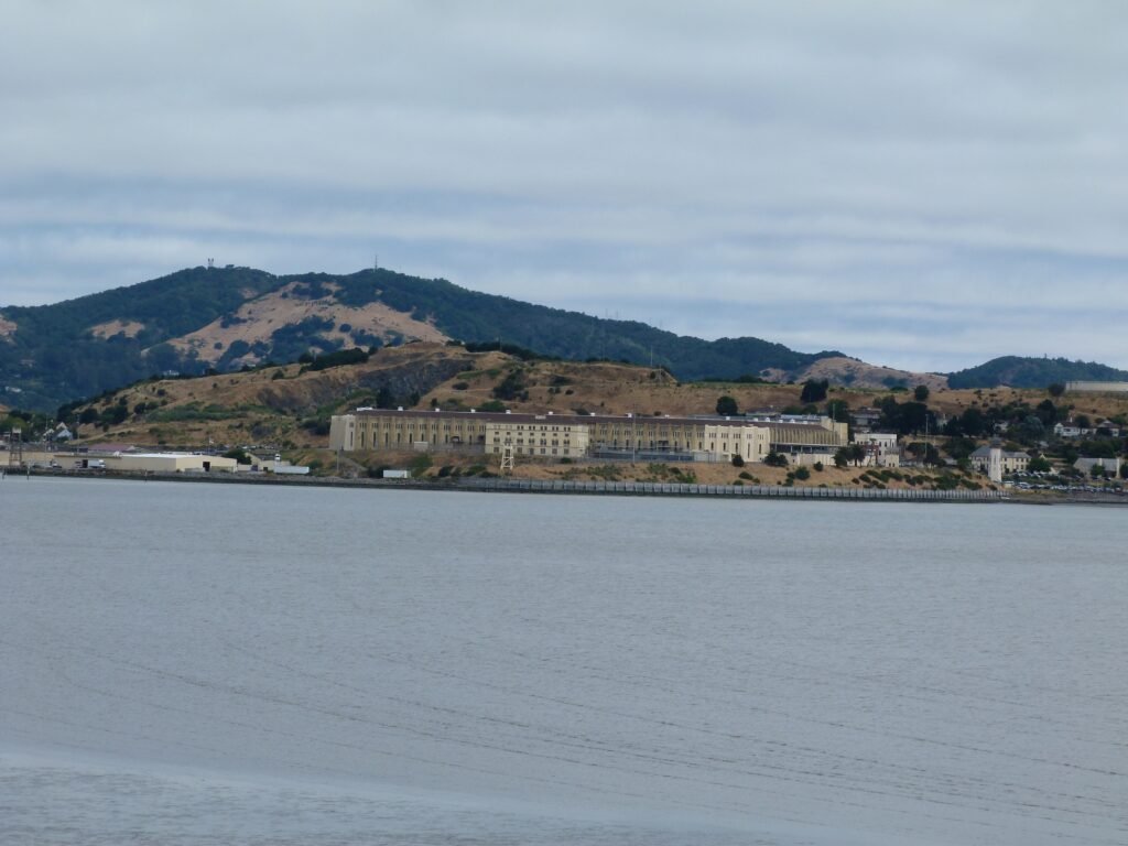
Paradise Dr also passes by Ring Mountain Preserve which I have hiked with Apollo in the past. From this spot, you can see the infamous San Quentin prison across the bay very clearly.
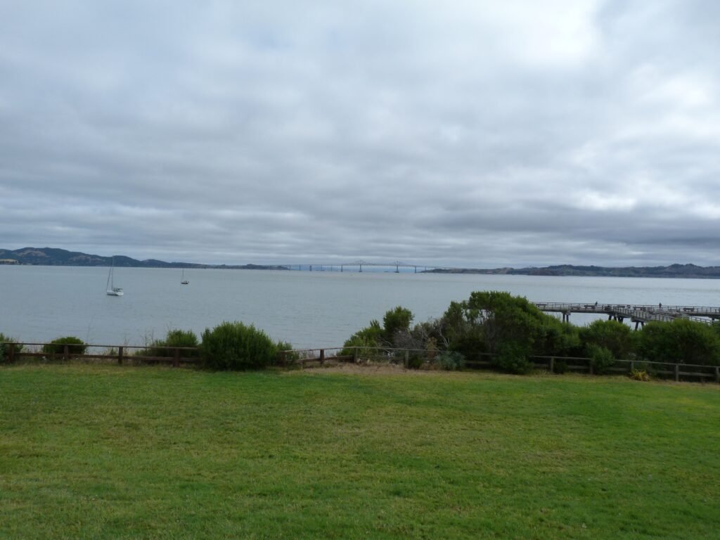


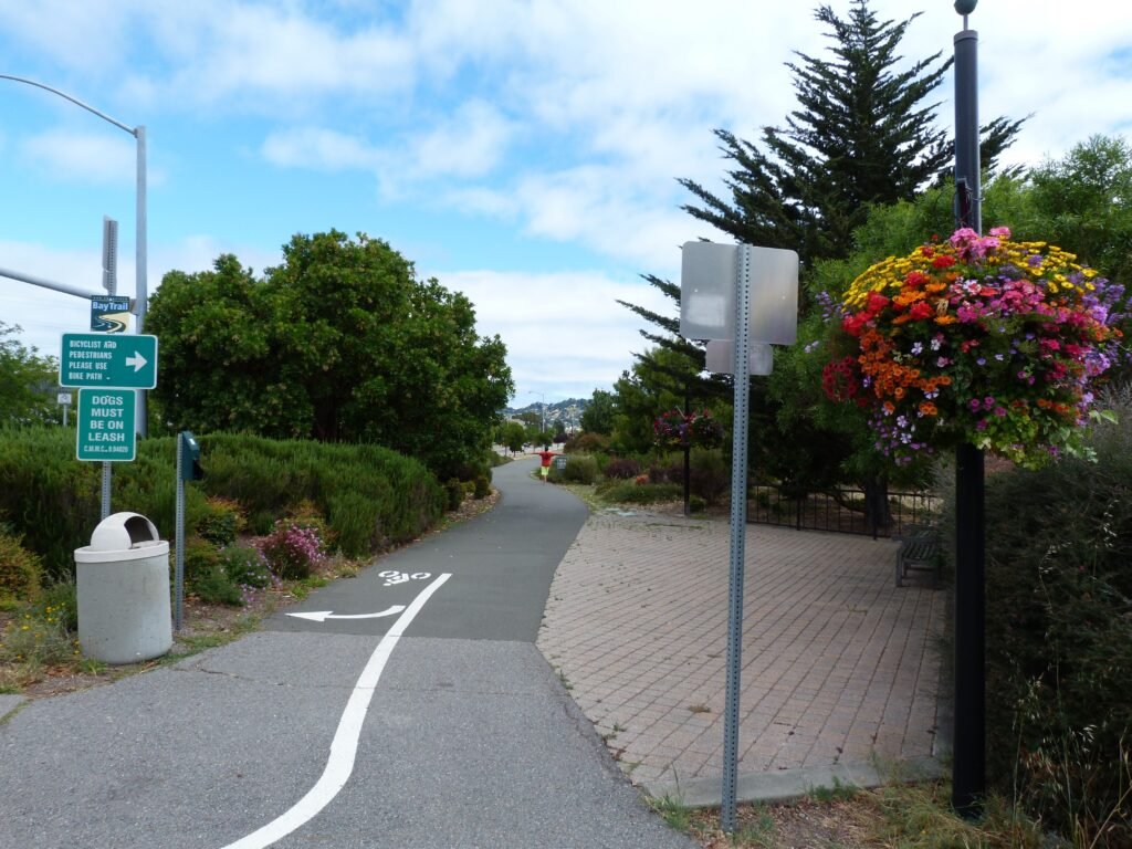
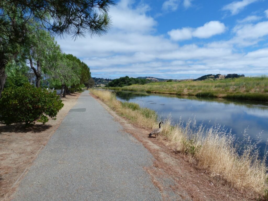
At San Clemente Dr junction, a paved segment of the bay trail commences. The 2 mile stretch runs by a canal, the shopping village at Corte Madera and by Hwy 101 before crossing Corte Madera creek and reaching Sir Francis Drake Blvd.
From here, the bike path will give you option to head in multiple directions. I turned eastward, towards Larkspur Ferry terminal and San Quentin prison. I walked until Remillard Park and decided that it was a good place to stop to figure out the way across the bridge to east bay.
Crossing over Richmond Bridge by foot/bike is not an option right now. I tried to hitch a ride across the bridge, but after few minutes, it became apparent that I have to get Lyft, not hope for a lift to help me 🙂

Key Stats from Day 9 morning session
- Distance covered: 12 miles (phase 2 map)
- Elapsed time: 4 hours and 30 minutes, including breaks
- Breaks: about 25 minutes
- Cities: Tiburon, Corte Madera, Larkspur
- Dog friendly segments: the entire 12 mile stretch
- Birds observed: Great Egret and Canada Geese

Here is the complete album of photographs from the morning session of Day 9.