
Mora, Chamise, Rogue Valley trails
A 9-mile out and back hike covering Mora, Chamise, Rogue Valley trails, Mary Davey Memorial and Deer Hollow Farm
January 29, 2017
For my second hike at Rancho San Antonio County Park & Open Space Preserve, I had used the main parking lot. The park can be accessed from Cristo Rey Drive, taking Foothill Blvd exit from Hwy 280. It was a cold Sunday morning, but the parking lots were more than half full at 7 am, speaking to the popularity of this location.
I had hiked the PG&E trail and went to the southwest corner of this preserve about a month ago. Today, my intent was to head to the northwest corner where Mary Davey memorial is situated.
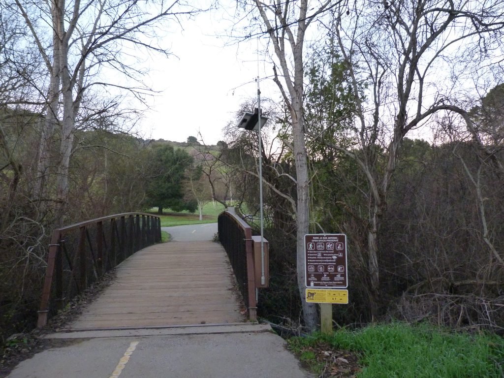
There are couple of easy trails near the main lot. I started off following the path towards the farm. This trail runs by a creek on one side and a huge meadow on the other. You will pass a majestic California bay tree in this section. A bike path and pedestrian/hiking only trail crisscross each other couple of times on the way to the farm.
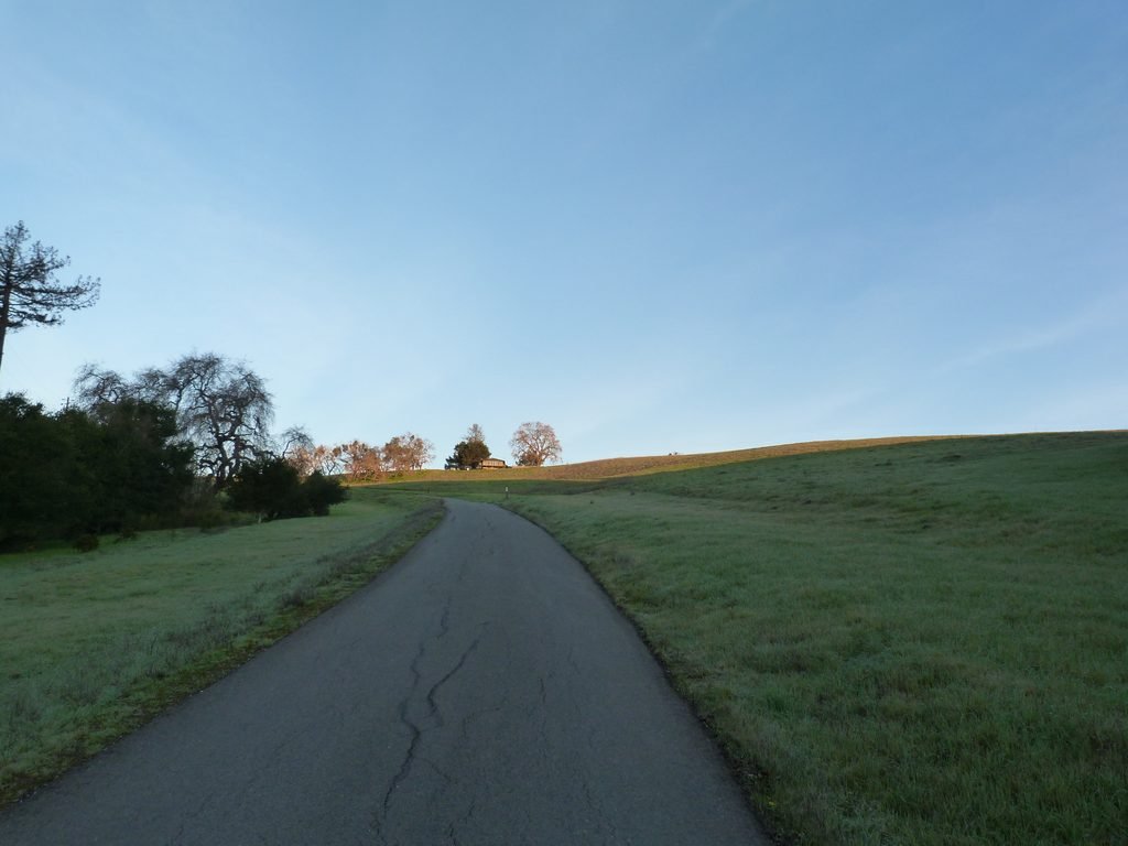
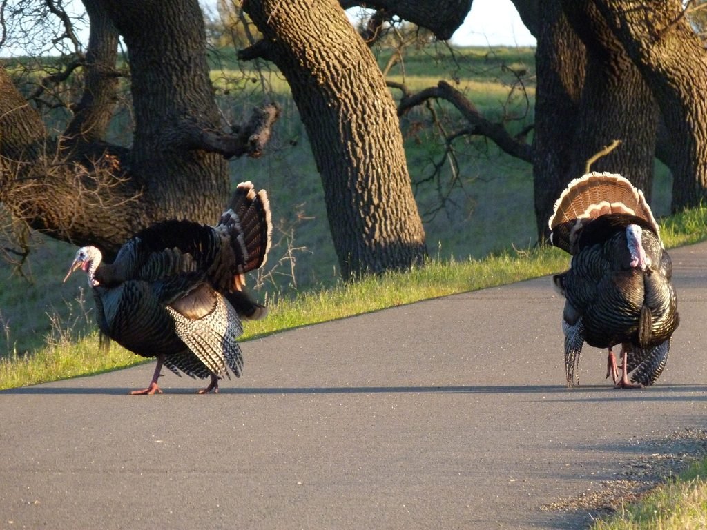
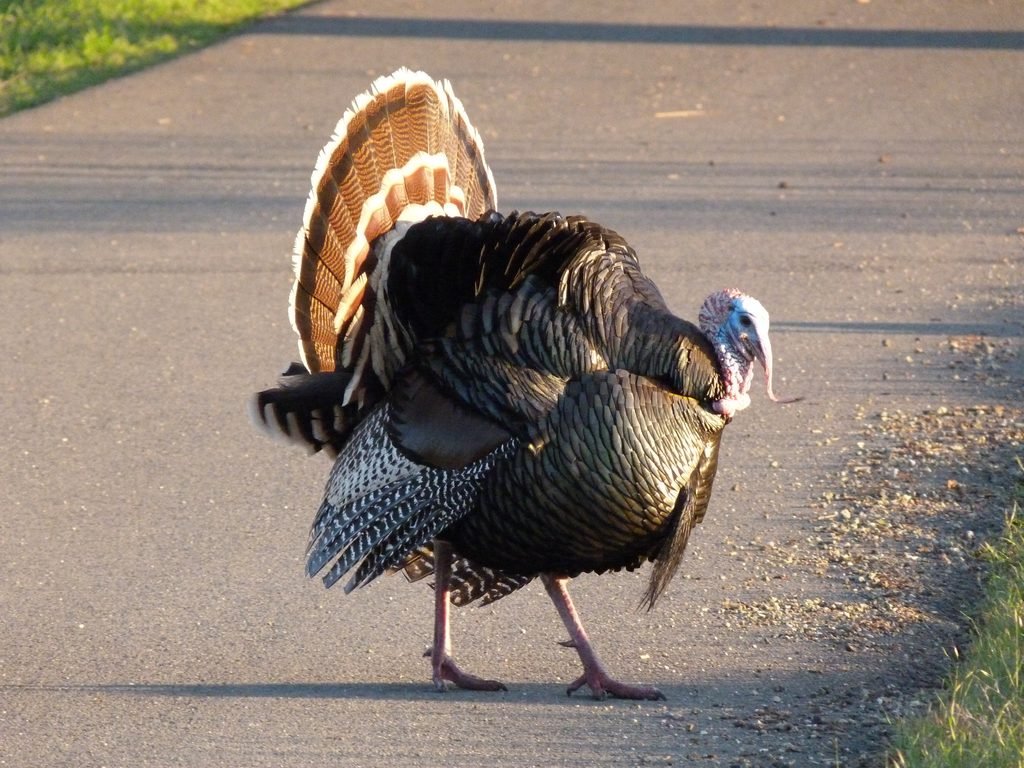
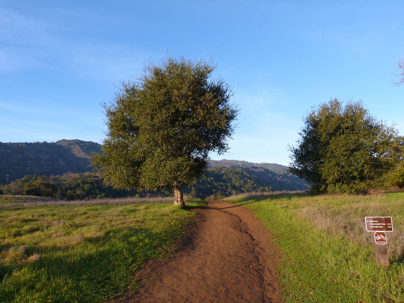
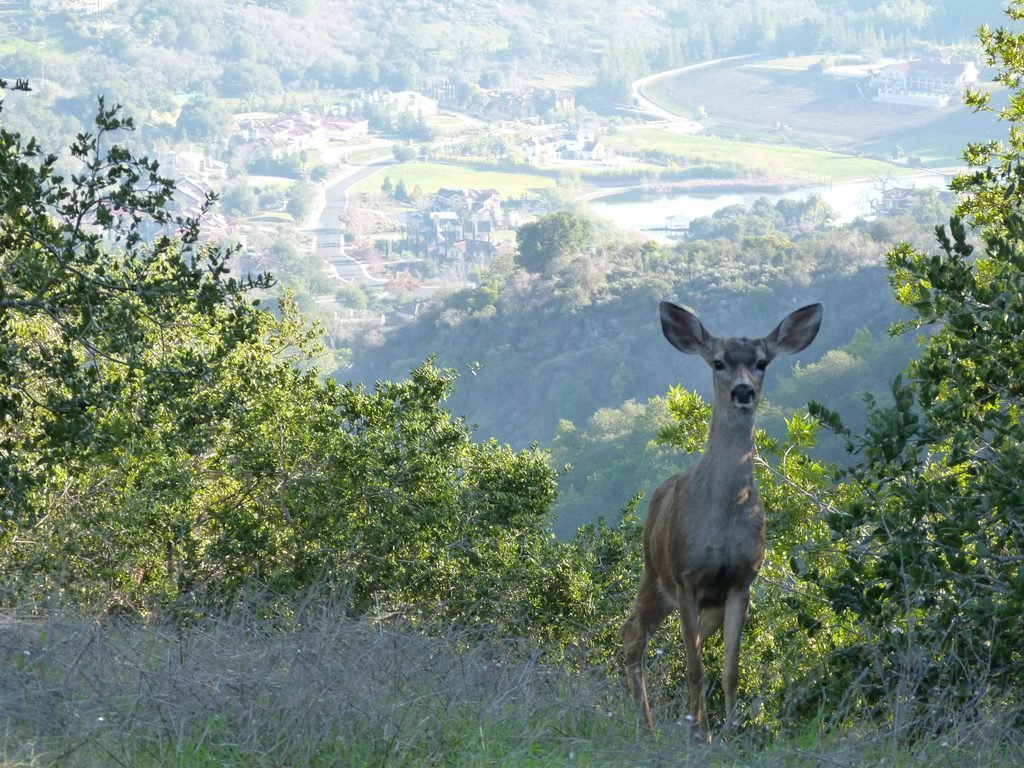
With the farm just ahead, make a sharp turn to the right onto Mora trail. The initial 1/2 mile by this trail is on a nicely paved road that gradually ascends uphill. I was lucky to walk by a group of wild turkeys which were putting on a courtship display, the male resplendent and trying to attract the females. A group of deer were nonchalantly grazing in front of this display (banner image).
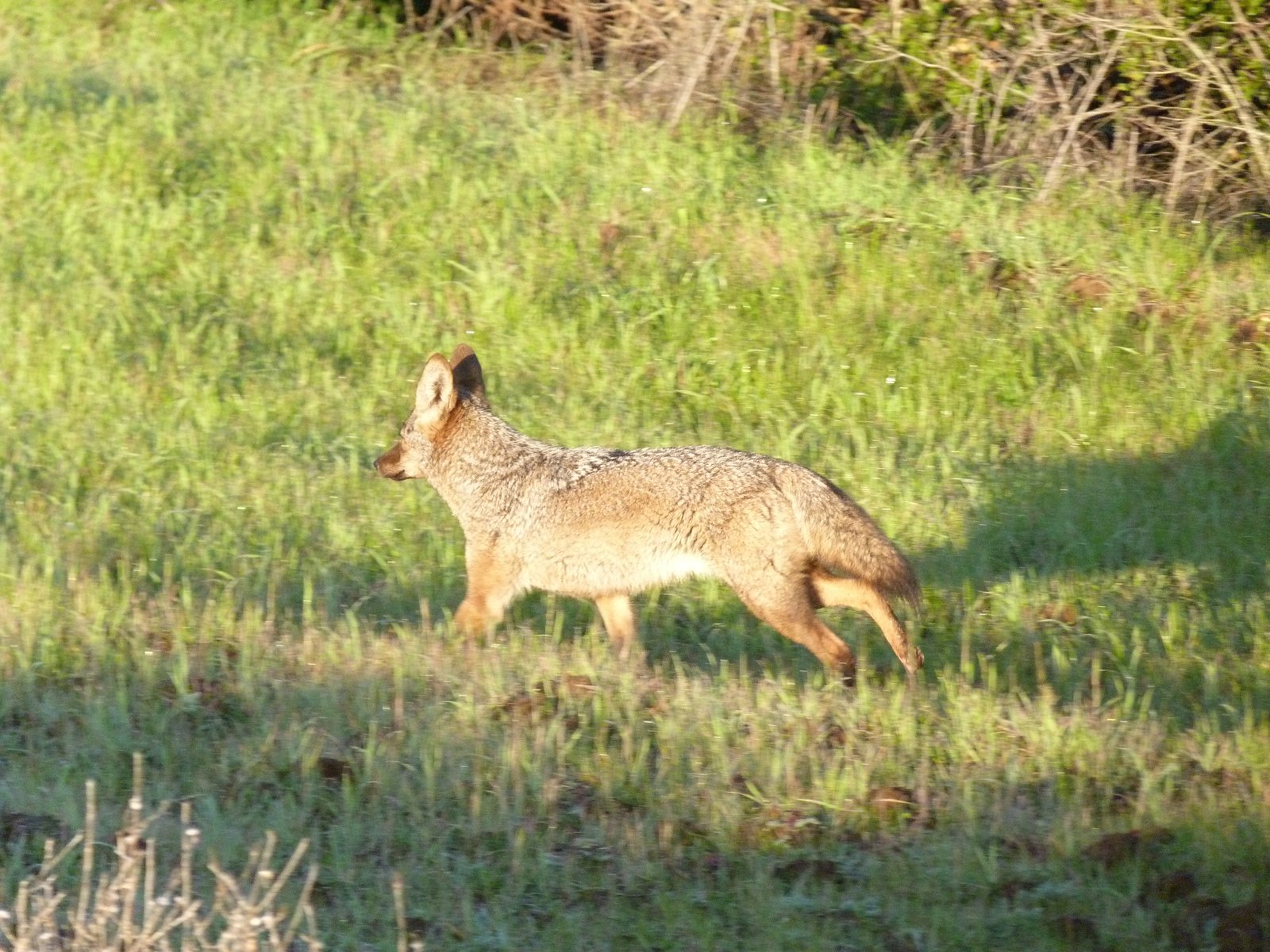
The paved blacktop trail yields to a dirt trail ahead of the a gate that provides access to the park for residents of Mora Dr. A short distance into this dirt trail, my wild life encounters continued with a pair of beautiful gray fox hunting in the meadows by the trail. They scooted away quickly, but not before I managed to capture couple of pictures of one of them.
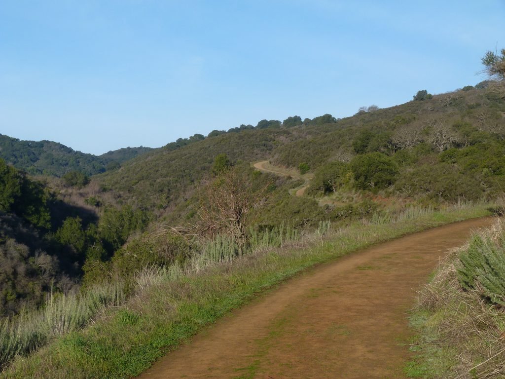
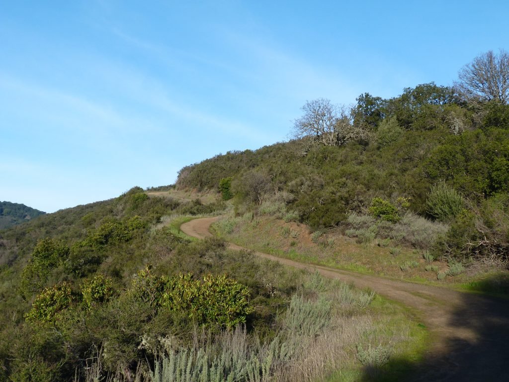
I continued my hike by Chamise trail. The nearly 2.5 mile trail climbs steadily, gaining around 1000 feet in elevation by the time it reaches the junction of Mary Davey loop trail. This park is very popular and there is lot of foot traffic. Chamise trail is one of the less crowded ones, something a hiker seeking solitude and quiet will appreciate.
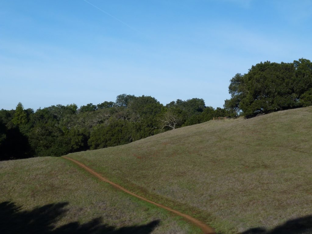
You will get to see Rogue valley on the left as well as the various trails on that section of the preserve. The scenery and the terrain remains unchanged for a while. When the trail levels off, you will have glimpses of the peninsula, bay and some Bay Area landmarks such as Stanford tower on the right.
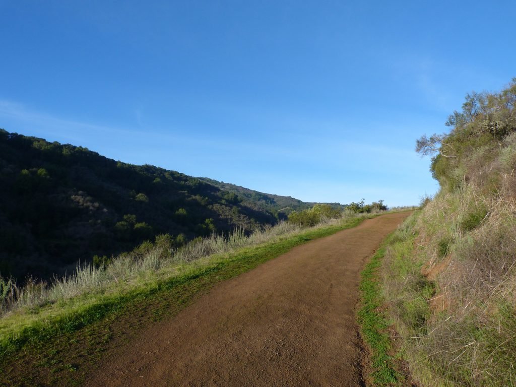
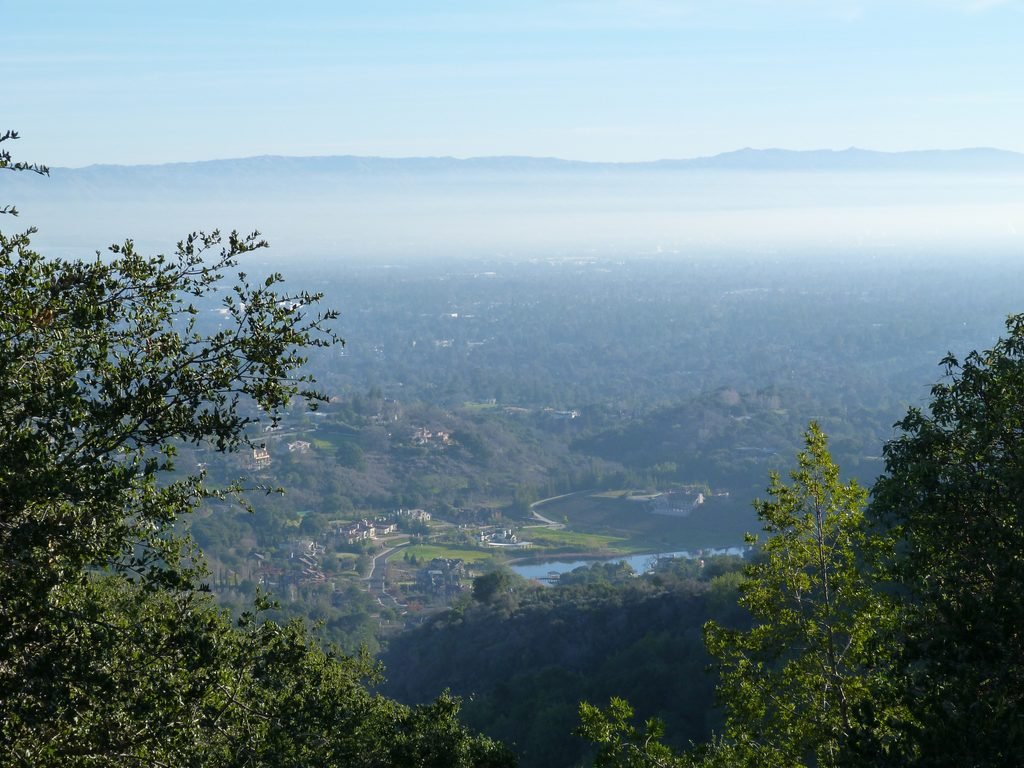
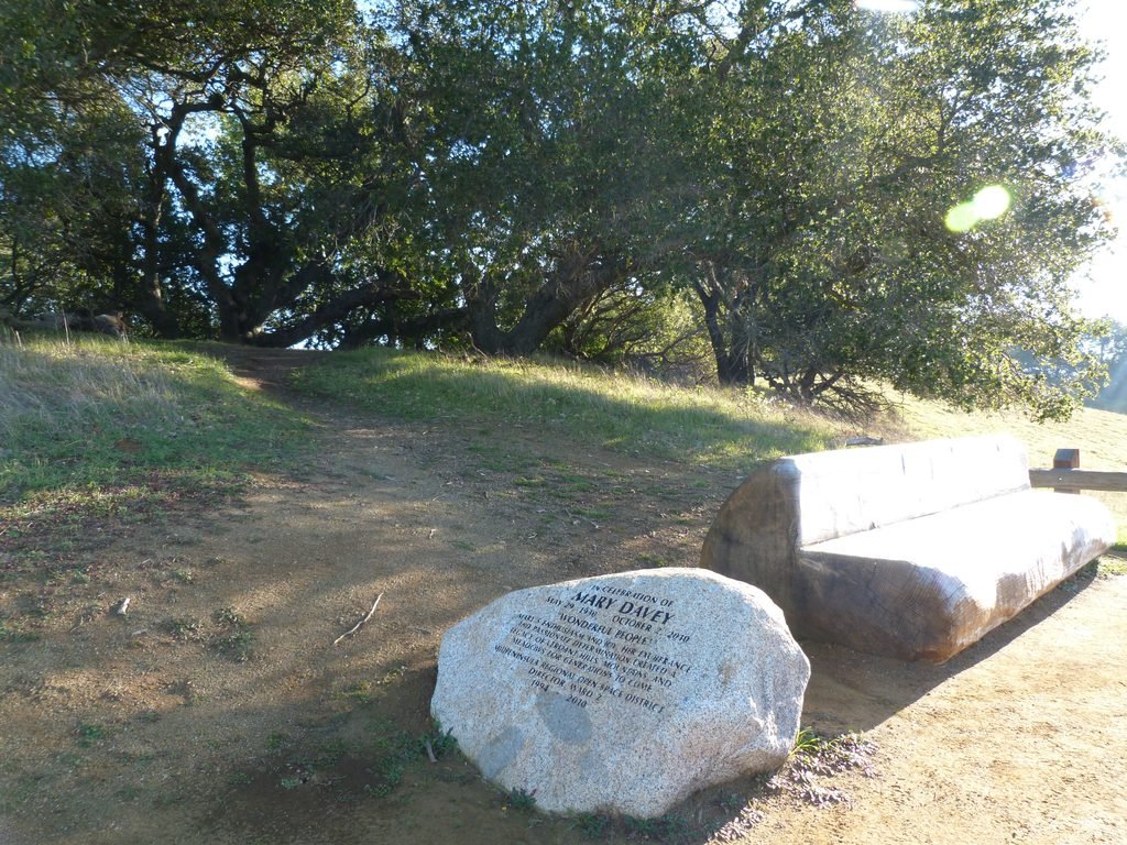
Chamise trail ends at the Mary Davey loop trail. The loop trail will take you to highest point in this hike, a memorial to Mary Davey, a social and environmental advocate who had helped shape the open space we enjoy today. The view of the surrounding hills from this spot is amazing.
For those desirous of some serious hiking, you could couple this hike along with my previous one by PG&E trail by taking the 3 mile long Black Mountain trail from here (~13 miles 2200 ft.+ elevation gain).
I turned around after taking a breather at the memorial, completing the loop trail and continuing back by Chamise trail.
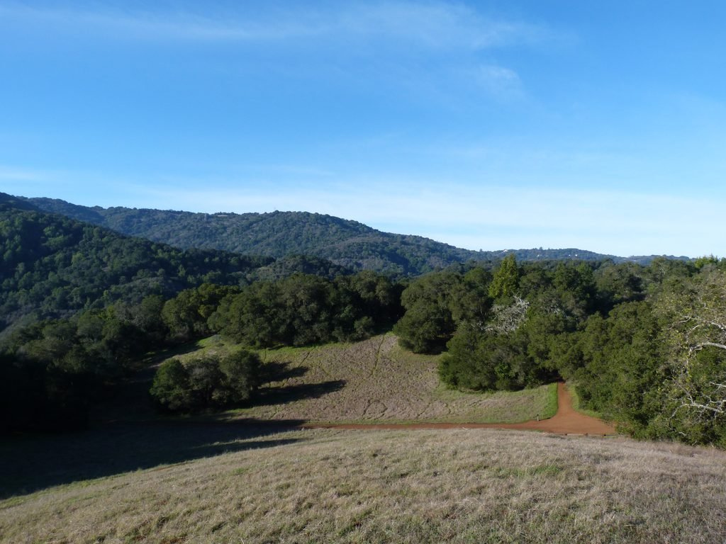

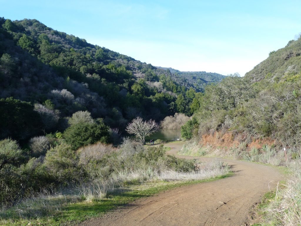
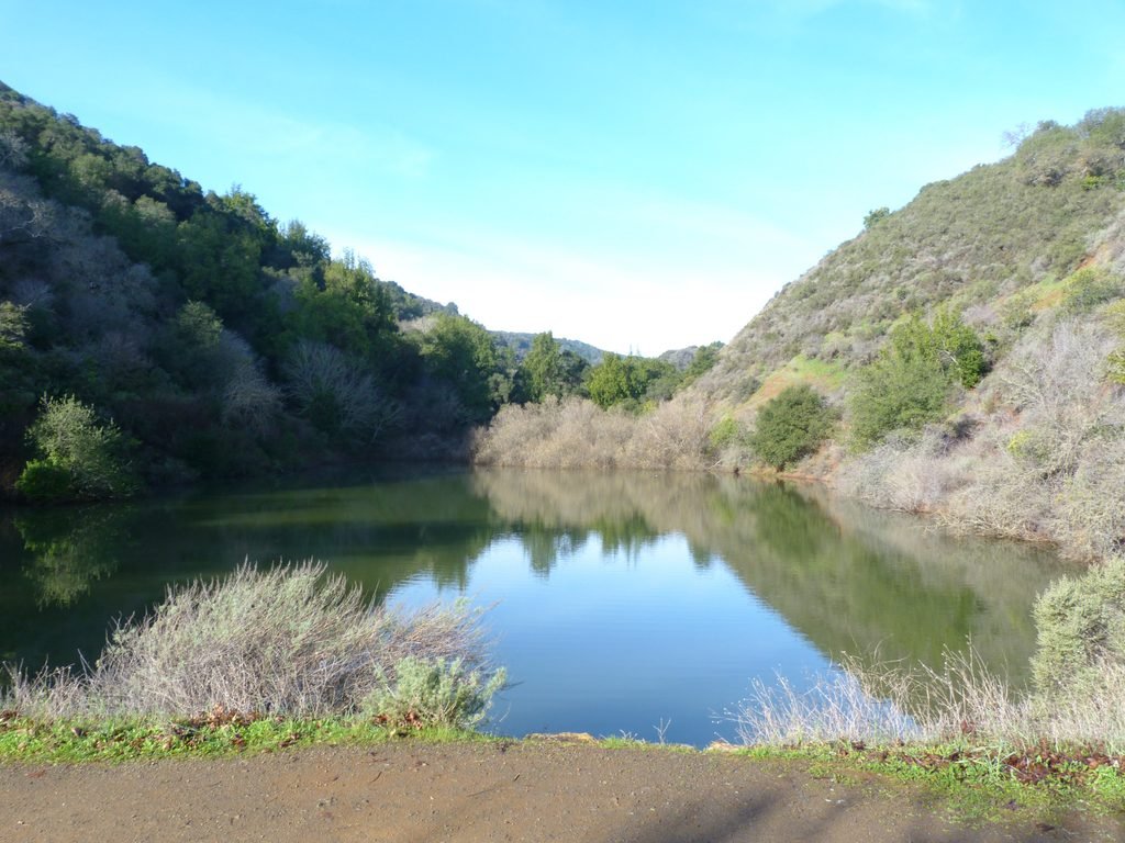
On the way back, I took the short connector to reach Rogue Valley trail. The lake at the junction of these two trails was filled to the brim, thanks to the plentiful rains in January.
I turned left by Rogue Valley trail – it is possible to extend the hike by going right and completing the Upper Rogue Valley area too. Even though it was couple of hours into the hike, the dirt trail was considerably damp, wet, colder with a dusting of ice on the grass lining the sides of the trail.
The mile long stretch of RV trail ends at Deer Hollow Farm, now teeming with families & young kids.
I wrapped up the hike passing the farm and retracing the path past Mora trail junction. The nearly 9 mile hike involved about 1100 feet elevation gain overall.
Here is the complete album of photographs from my second hike at Rancho San Antonio OSP.