PG&E, High Meadow trails
An 8-mile loop covering PG&E, Upper High Meadow and (lower) High Meadow trails
December 12, 2016
Rancho San Antonio County Park & Open Space Preserve is a hugely popular location in Cupertino. The nearly 4000 acre open space and the adjacent 165 acre park is managed by MROSD and offers plenty of opportunities for outdoor enthusiasts – hiking, biking, horse riding, kite & model airplane flying.
The park can be accessed from Cristo Rey Drive, taking Foothill Blvd exit from Hwy 280. There are several parking lots, including one for equestrian staging. I had used the parking lot next to equestrian staging today.
The main parking lot serves as a convenient staging area for the more popular, kid-friendly and easier hike to Deer Hollow Farm. I had chosen to cover the tougher PG&E trail today which is accessed best from the equestrian parking area.
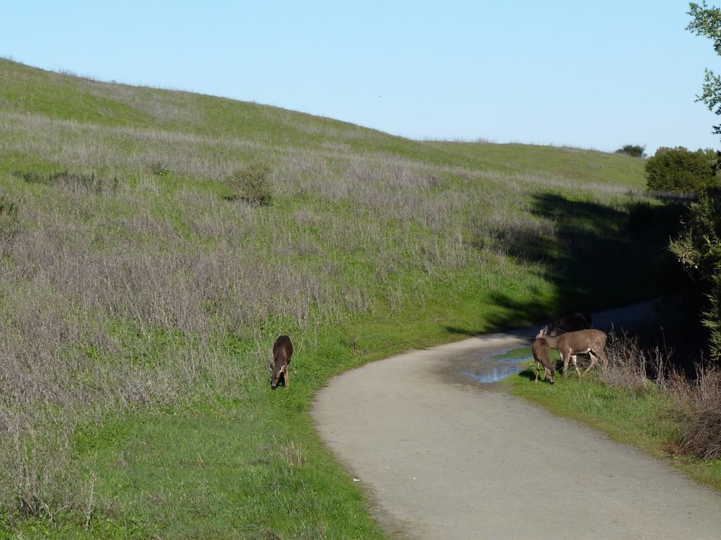
Crossing a wooden foot over-bridge across Permanente Creek, my hike started off uphill by the gravel trail. A deer passed by me in close quarters absolutely comfortable with human presence. The gravel trail climbs gradually for about 1/2 a mile before coming to a junction where PG&E trail begins.
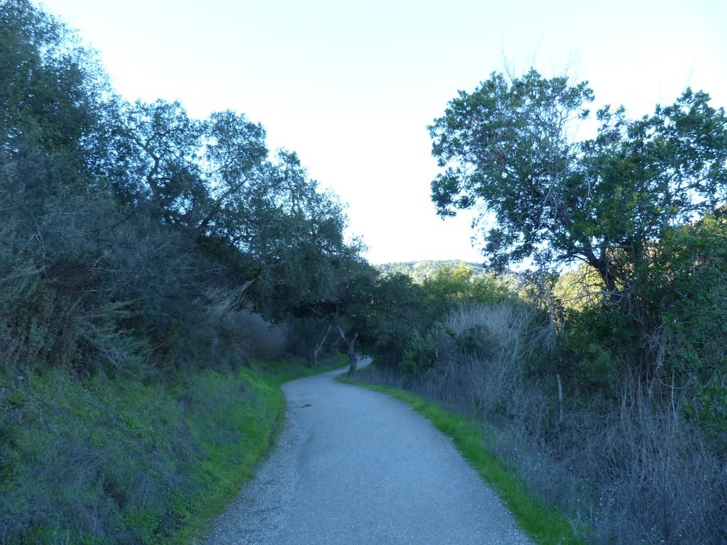
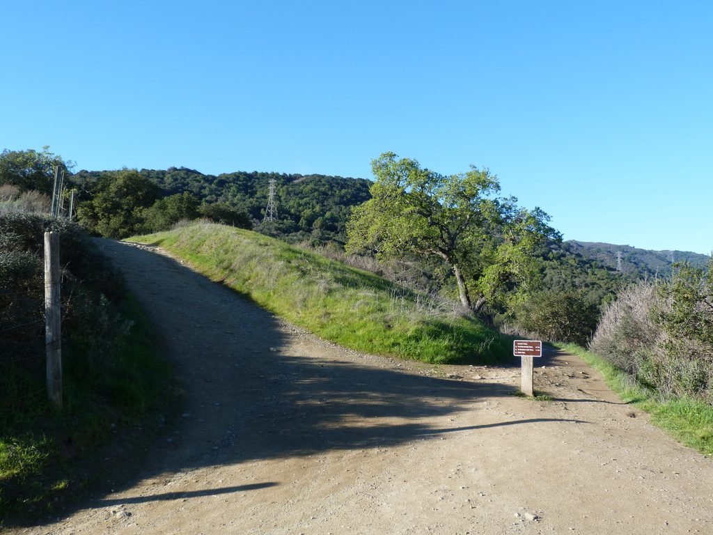
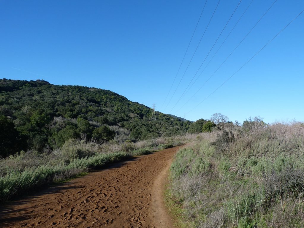
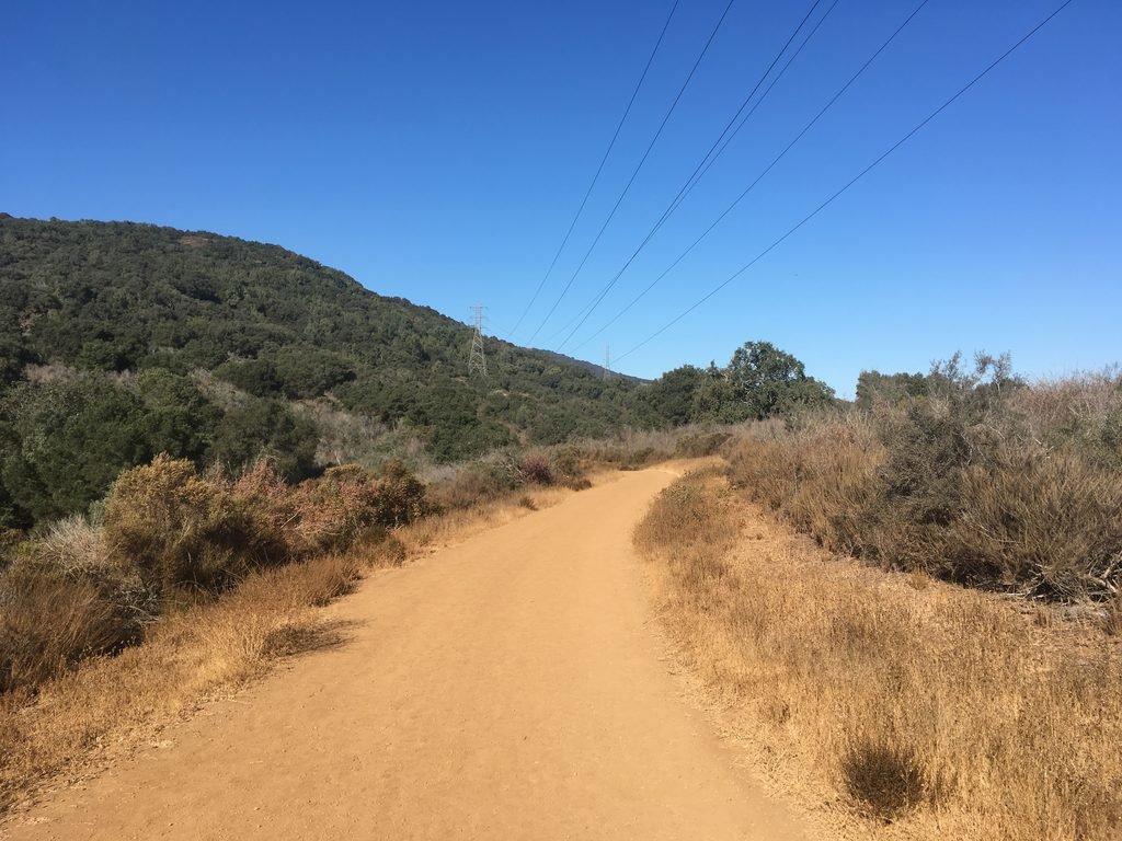
PG&E trail is 3.5 miles long with just one option, at the 1.6 mile mark to loop back. The wide dirt trail steadily climbs around 1600 ft. over the 3.5 mile length. The trail is so named as it goes right by PG&E’s transmission lines.
The trail was damp in spots and can easily turn muddy after good rains. The trail also runs in such a fashion that is shaded much of the way from the morning sun by the hills on Santa Cruz Mountain range.
The 500 ft. elevation gain in the first 2 miles is gradual. Around this point, the connector to Wildcat Loop trail offers an option for a shorter loop.
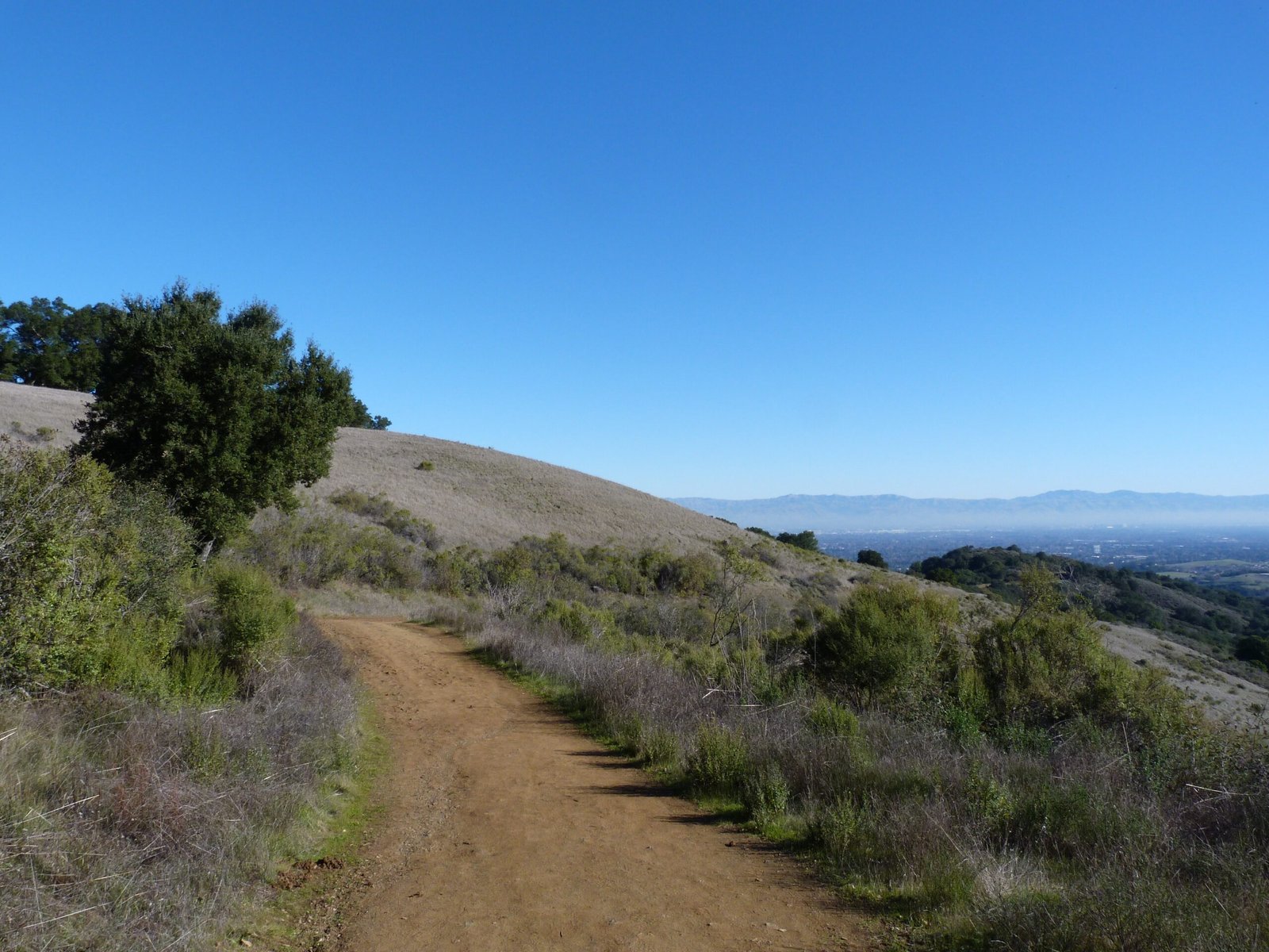
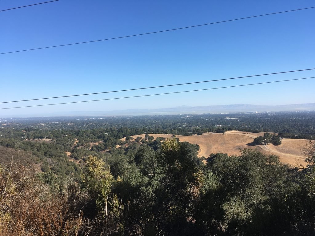
Continuing on, PG&E trail becomes steeper, gaining about 1100 ft. over the next two miles. While the trek may be tougher by couple of notches, the view of the bay and valley on the right becomes better and better. Visibility was fairly good today and I could easily identify several iconic places and mountains up north & east, including Stanford Dish that we hiked couple of days ago.
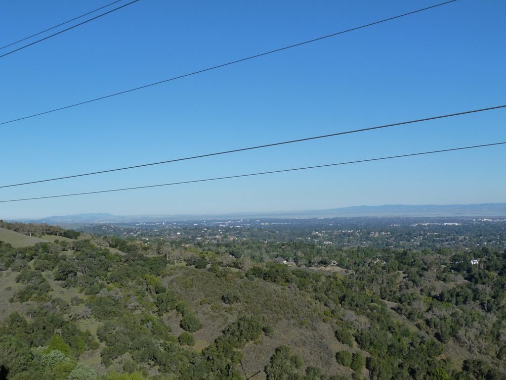
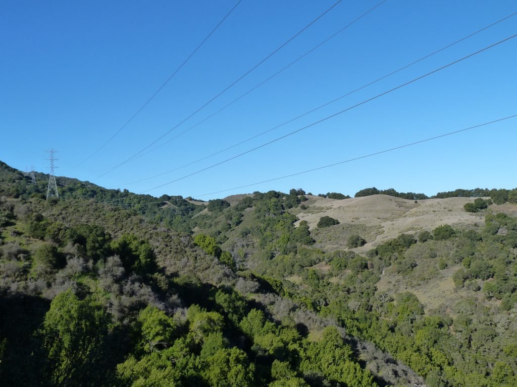
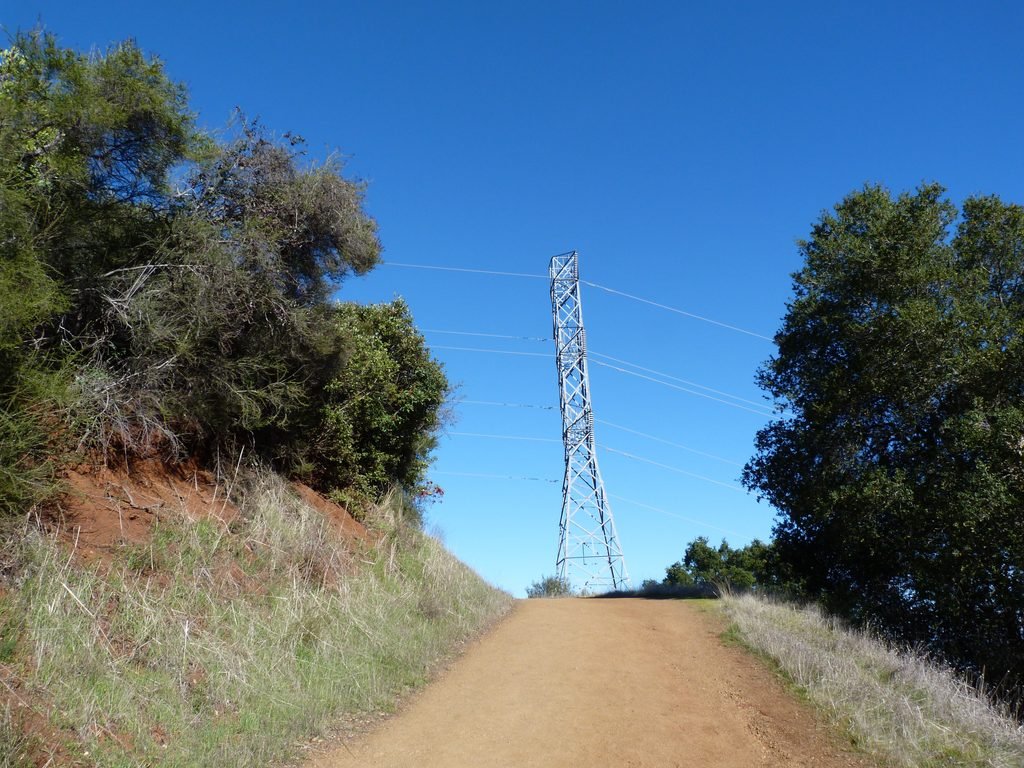

The vista point at the top of PG&E trail is an incredible spot. I could easily make out the Golden Gate & Bay bridge along with San Francisco skyline, San Mateo & Dumbarton bridges, NASA hangar & Stanford Dish on the peninsula and a clear view of the south bay. The only blemish was the fact that the vista point was located right underneath a transmission tower!
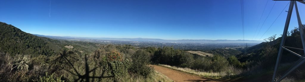
I turned around at this point, taking Upper High Meadow trail. After the relentless climb, it was a welcome relief to walk down elevation for the next mile and a half. You can easily make out PG&E trail across the ravine from UHM trail.
UHM continues down as High Meadow trail coming up on another vista point and a multi-trail junction. I stayed put on High Meadow trail which also proved to be an easy descend in the direction of my hike.
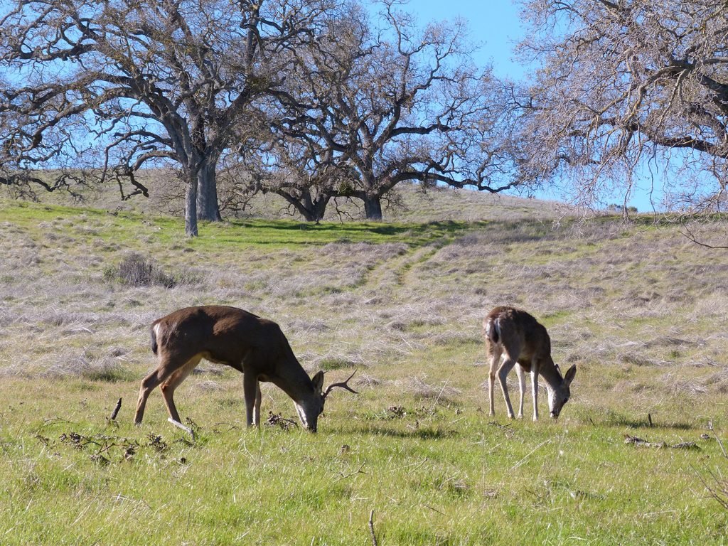
As this trail cut through a meadow, I saw a male deer and his companion grazing nonchalantly as several hikers passed by them taking close up photographs.

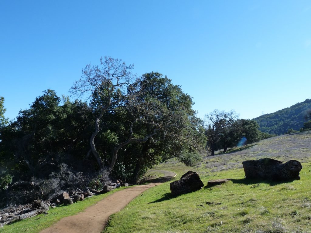

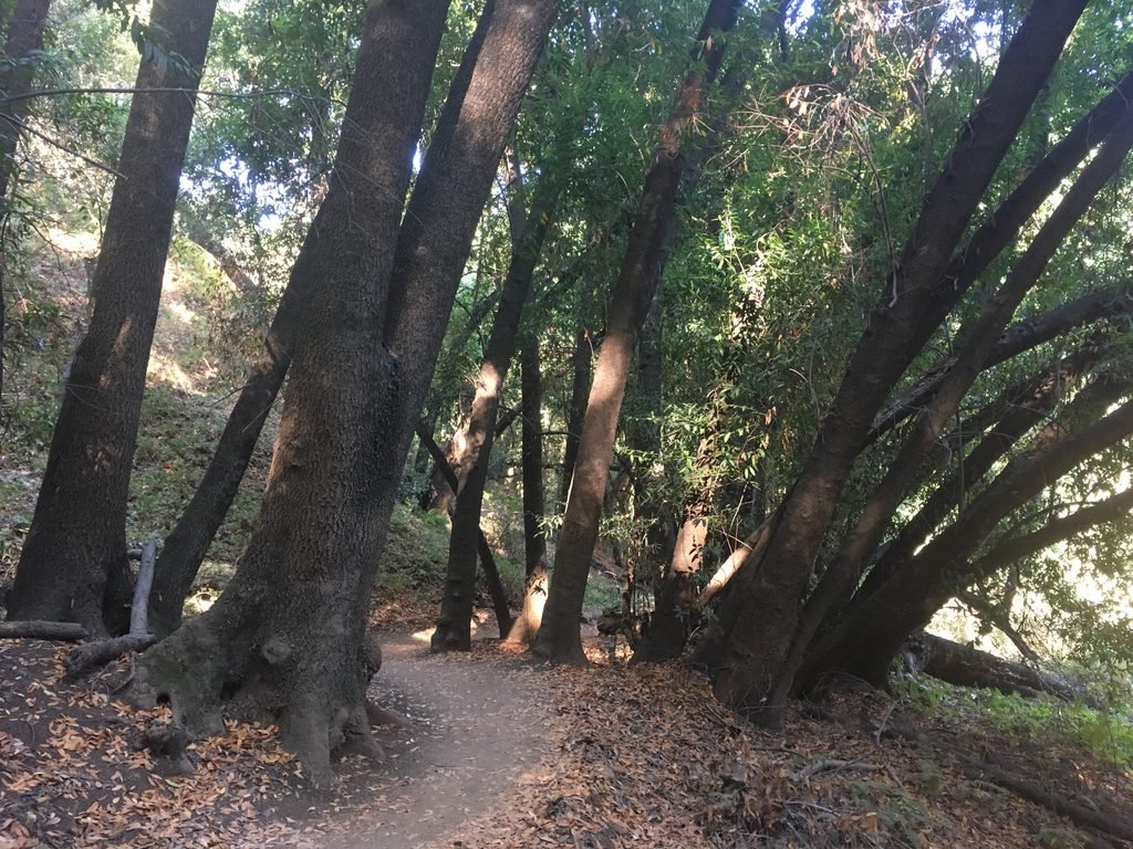
High Meadow trail ends at another multi-trail junction right behind Deer Hollow Farm. This is a popular spot with young kids and I opted to take the Farm By Pass trail to skirt behind the farm to connect to Coyote trail. Both these trails involve a gentle climb, fully shaded, single track trails.
Coyote trail ends at the junction where PG&E trail started. I completed the hike descending the final 1/2 mile by the unnamed gravel trail to the trail head by the equestrian parking lot.
This was an excellent hike – 8 miles overall, about 1700 feet of elevation gain with outstanding views of the bay. Traffic was fair, with serious hikers on the PG&E and UHM trails and quite heavy with holiday family hikers near the farm.

September 20, 2018
A slightly easier 6.6 mile variation of the previous hike with about 1100 feet elevation gain.
An unusually warm fall day had me doing a variant of my first logged hike in Rancho San Antonio OSP. Starting from the equestrial parking lot, I walked the first 0.5 miles to connect to the PG&E trail, which, incidentally, has been renamed to Stephen E. Abbors trail. Instead of walking the entire stretch, today I chose to get closer to Wildcat canyon and exploring the section of park I’ve so far missed. Approx 2 miles into the hike (at the 1.6 mile marker of PG&E trail), I turned right by the connector trail to Upper Wildcat Canyon trail.
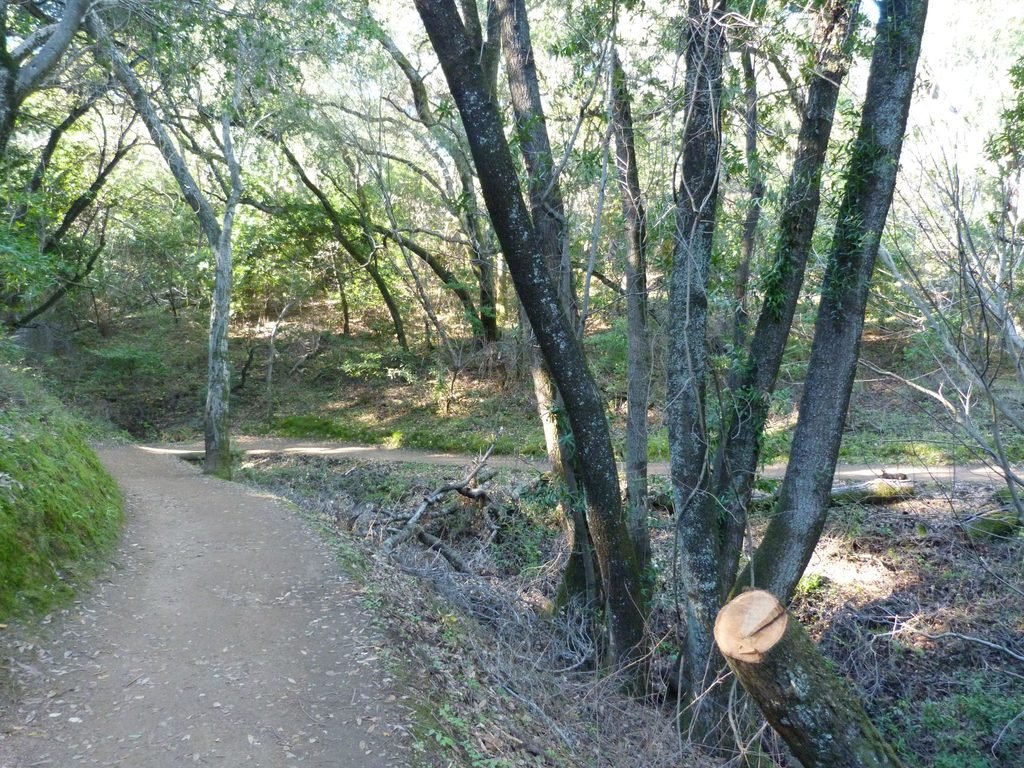
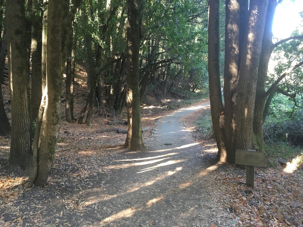
Upper Wildcat Canyon trail is a well shaded, single track trail for most part. This 1.3 mile long trail continues westward before turning sharply in an easterly direction and connecting to Upper High Meadow trail. You would have an excellent view of the PG&E trail while walking the short stretch of the UHM trail.
From here on, my path was identical to my earlier visit here in December 2016: High Meadow trail –> Farm Bypass trail –> Coyote trail –> Equestrian parking lot. Not doing the entire PG&E trail shaved about a 1.5 off my previous trek, making this a 6.6 mile outing with about 1100 feet of elev gain.
Here is the complete album of photographs from December 2016 & September 2018 hikes at Rancho San Antonio OSP.