
Black Mountain
A strenuous 9 mile out and back hike to Black Mountain summit from Rhus Ridge parking lot in Ranch San Antonio OSP
March 2, 2017
Black Mountain is located at the southwest corner of Rancho San Antonio Preserve, right by the the border of Monte Bello Preserve. The shortest access to this peak from Rancho San Antonio is from Rhus Ridge Parking lot. From Hwy 280, take Moody Rd exit, go past Foothill college and turn left onto Rhus Ridge Rd to reach the lot that can accommodate 12 cars.
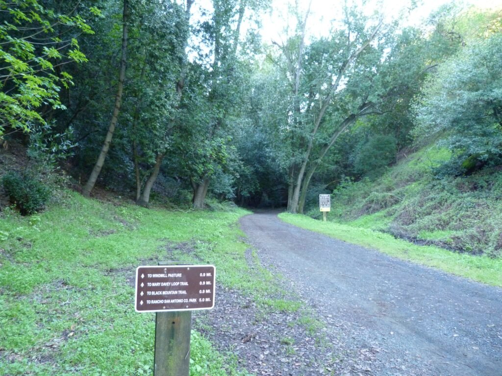
Rhus Ridge trail is a fire road that climbs from the parking lot to the junction of Black Mountain trail, right were Mary Davey memorial is located. Mary Davey memorial was the turn around point for my second hike at this park.
Rhus Ridge trail is just shy of a mile long and ascends steadily the entire way, gaining around 650 ft. of elevation. Around the 1/2 mile mark, you will have the first opportunity to look at the valley and bay. Where this trail ends is also the Windmill pasture, a vast open area with lush greenery all around.
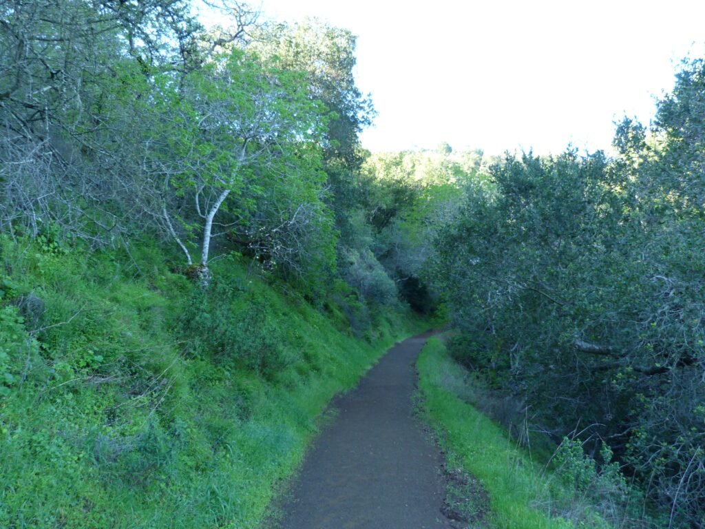
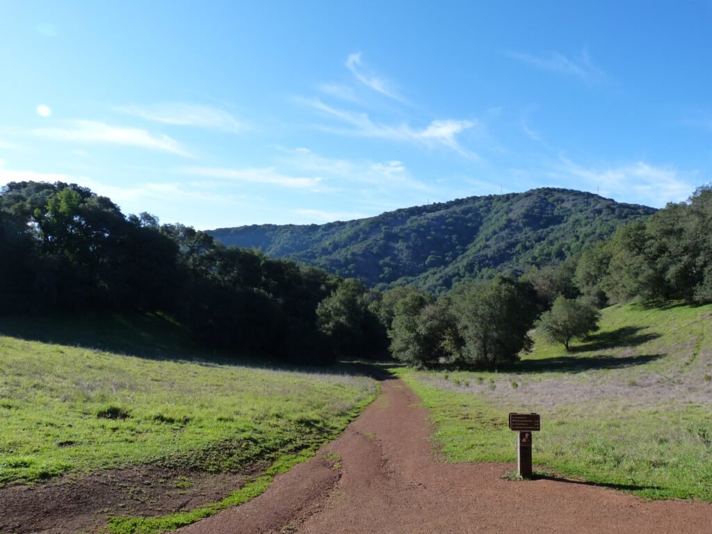
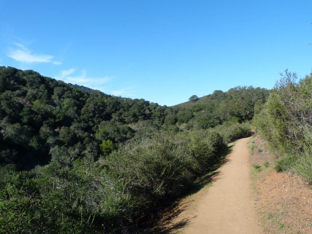
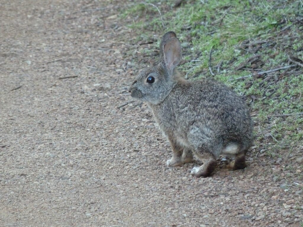
Turning right, I continued by Black Mountain trail. Not as wide as a fire road, the trail can be characterized as a double track trail or a wide single track trail around here. For the next 3/4 of a mile, the trail is fairly easy with very little elevation gain. By now, most of the road noise should be behind you and you may even chance upon the occasional brown rabbit (californian brush rabbit).
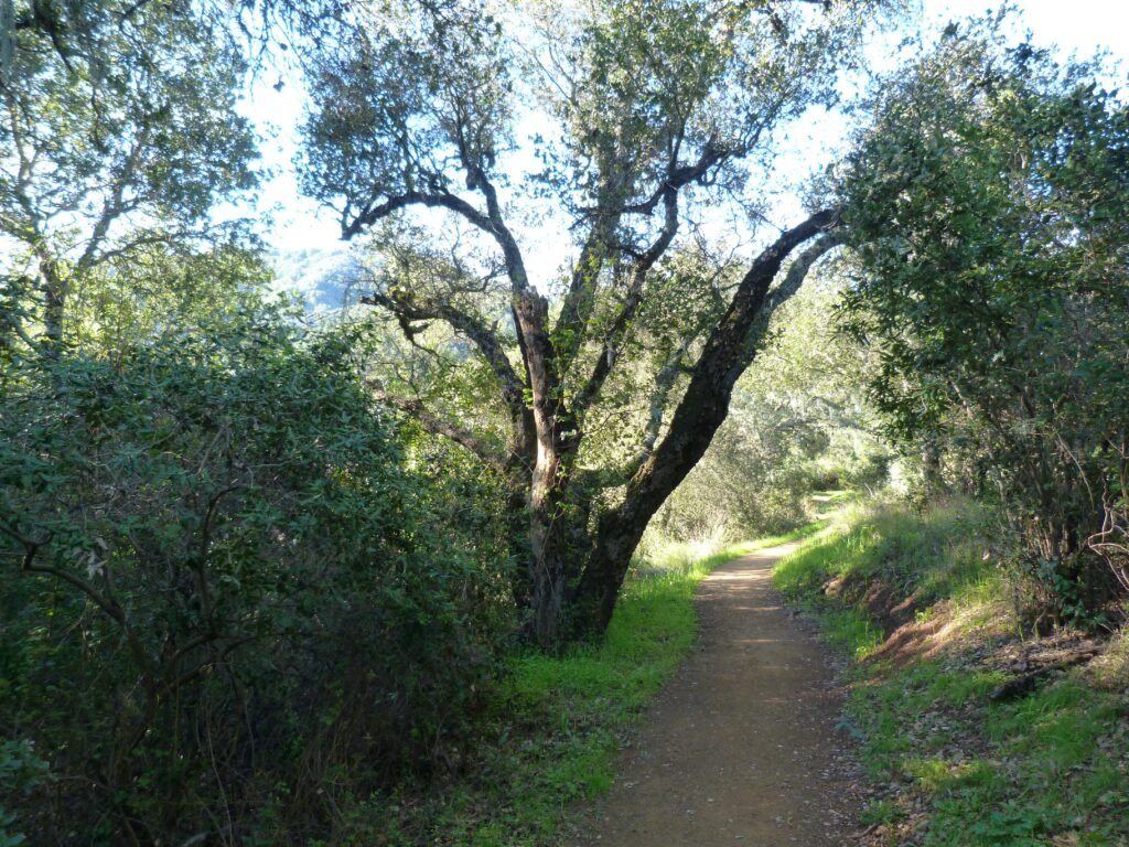
You will cross couple of trails leading to Hidden Villa, a non profit farm and preserve that borders this preserve. Black Mountain trail starts gradually climbing from here. The single track trail also narrows going forward, with plenty of zig zags in some parts and through heavy wooded sections in others.
In one of the wooded sections, I crossed a stream that was cascading down as a water fall. This relatively easy section of the trail ends at a fire road, about 2.7 miles from the Windmill pasture. Over this distance, you will gain another 1000 feet of elevation.

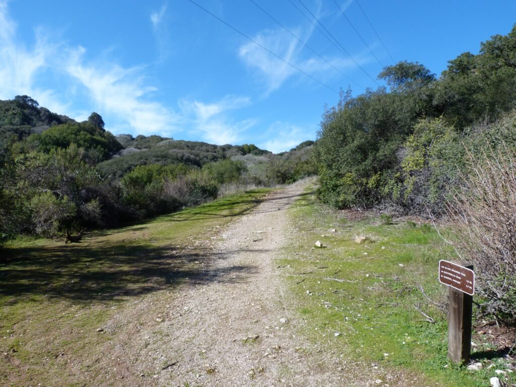
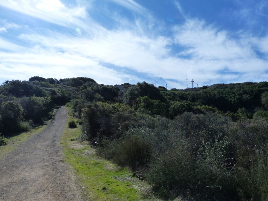
You cannot mistake the location when Black Mountain trail continues by a fire road. For one, you will encounter a PG&E transmission tower there. Even if you miss that, your leg will absolutely notice the change of pace. The last 1.2 miles by this fire road is grueling, climbing another 850 feet on top of what you’d already have done.
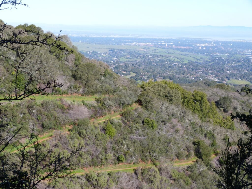
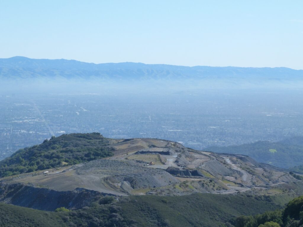
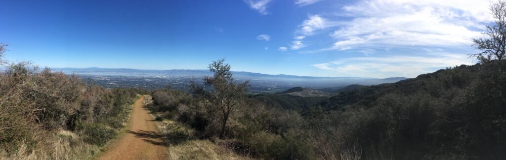
The best part is that the views open up dramatically, both in front of you as well as behind you of the valley & bay. It was a glorious sunny day today, after a February that had barely a handful of days without rain. That gave the necessary push to negotiate the tough home stretch.
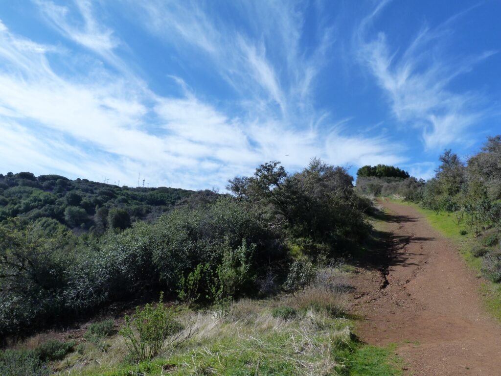
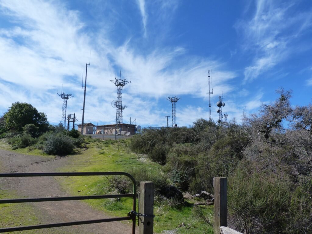
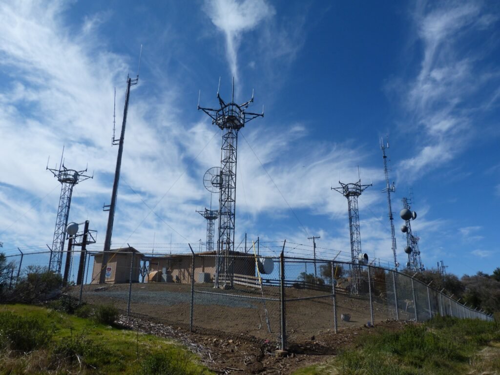
At 2800 feet, Black Mountain is one of the highest peaks in Santa Cruz Mountain range. At the summit, there are several radio transmission towers, similar to North peak in Montara mountains. This is also the boundary with Monte Bello Open Space Preserve and you will see trail markers leading into that park.
The views from the top are not as impressive as what you would have experienced on the approach, especially during the last mile. That didn’t take anything away from the exhilaration of standing on top of the summit of a peak.
It was much easier to enjoy the fine views downhill. The light fog had lifted completely providing better visibility where much of the usual iconic locations of the valley – bridges, Stanford clock tower and more were clearly visible.
This was essentially an out and back hike. By the time I reached the Rhus Ridge parking lot, I had done 9.4 miles with 2500+ feet elevation gain in 3 hours and 37 minutes, making it one of my hardest and longest hike. Although there is reasonable shade cover, this is not a hike I would attempt in summer. The trails were fairly dry even after these punishing rains, something you cannot say of the soil on the east bay.
Here is the complete album of photographs from my Black Mountain hike.