Windy Hill OSP
A difficult 8-mile loop using Spring Ridge, Hamms Gulch, Eagle & Lost trails.
February 27, 2015
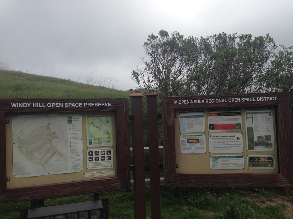
You would expect something interesting from a place with a name like Windy Hill Open Space Preserve. And you sure won’t be disappointed should you choose to come here. Located in the town of Portola Valley, Windy Hill Open Preserve provides you with two options to enjoy the 12+ miles of trails it contains. You can park at the Portola Road parking lot (from 280, take Alpine Road exit, go west towards Portola Valley, turn right on Portola Road) or at the Skyline Blvd parking lot. The trails are uphill from Portola Road to Skyline Blvd and downhill the other way.
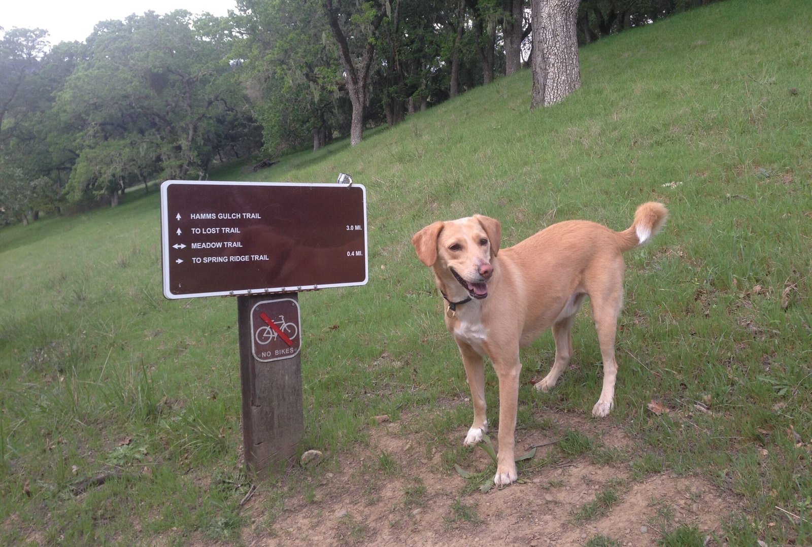
We used the Portola Road parking lot and started off at Spring Ridge Trail. Having been here a while ago, I decided to do a loop by taking Hamms Gulch Trail to the summit and returning by Spring Ridge Trail.
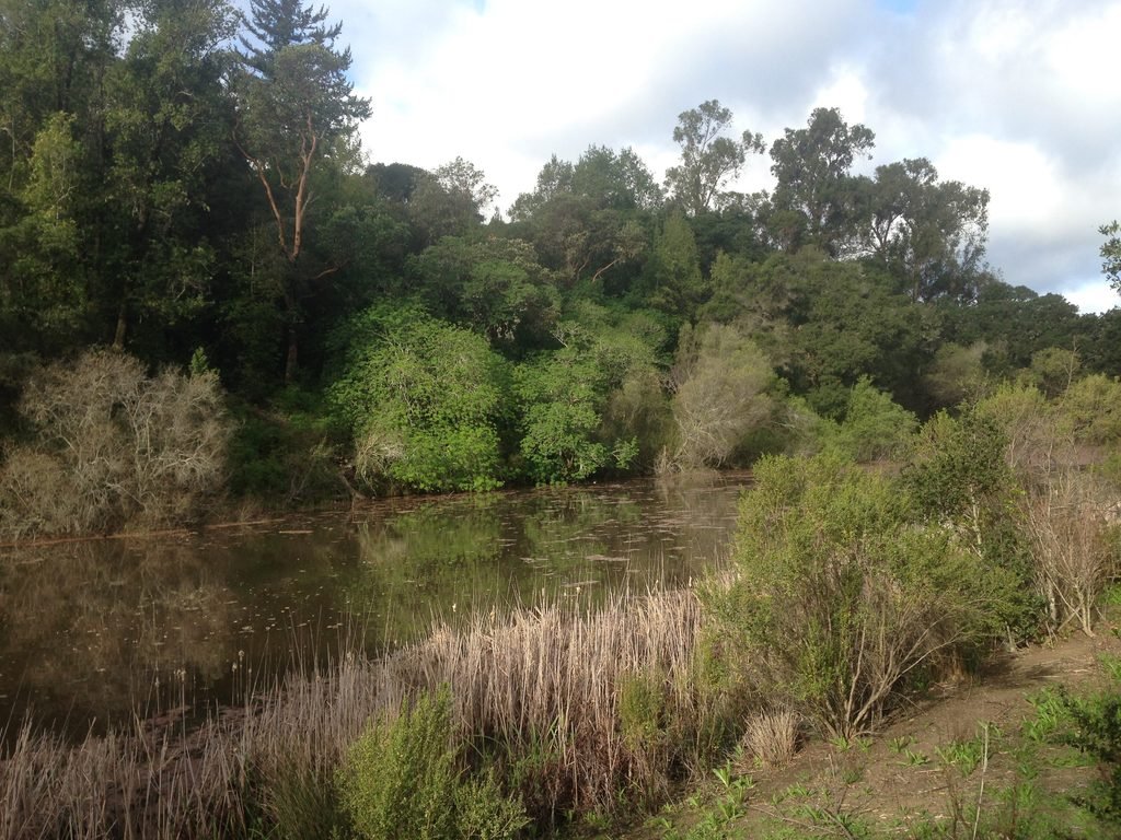
You will see Sausal Pond on your right as you make your way towards Hamms Gulch. At Eagle Trail junction, bear left on Eagle trail as Spring Ridge trail goes right. This will lead you to Hamms Gulch junction. All of the trails in Windy Hill are unpaved, dirt trails.
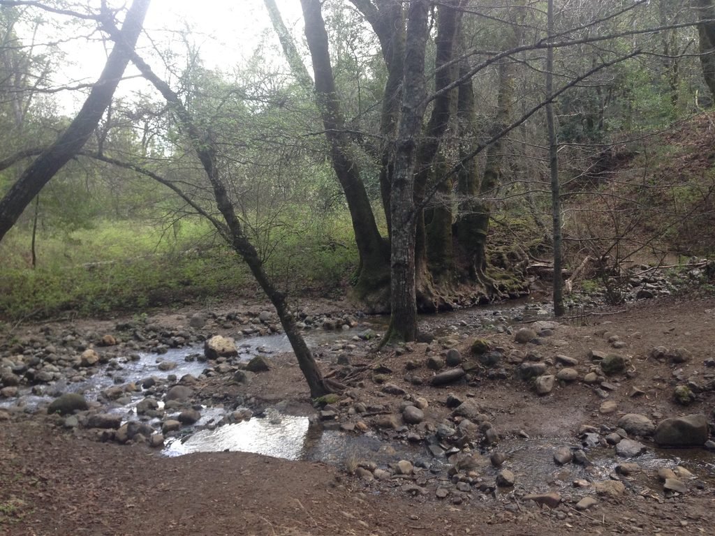
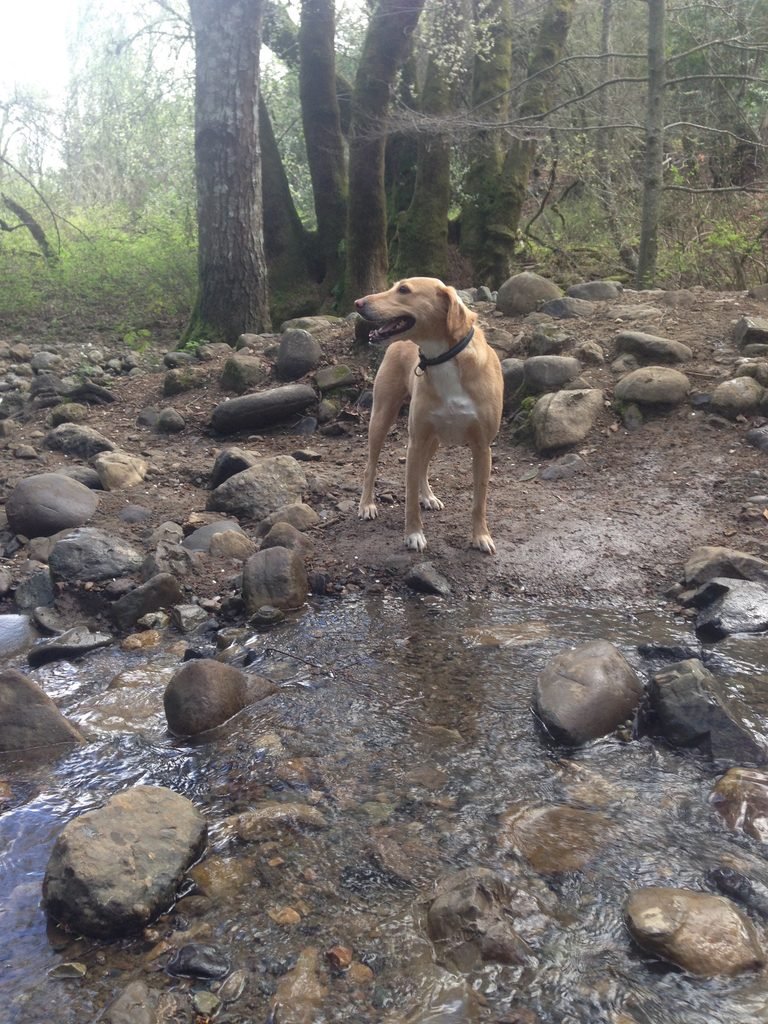
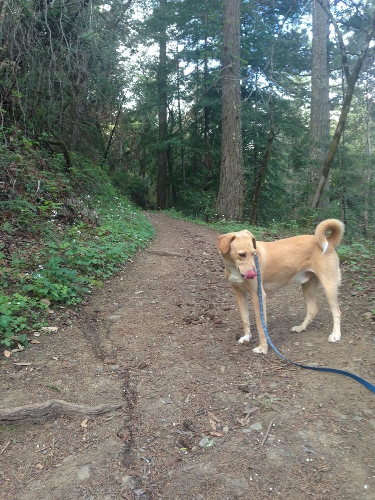
Once you enter Hamms Gulch Trail, you’ll see a distinct difference. Heavily wooded, narrow, and involving a steady climb, the trail will quickly lead to a point where two creeks, Hamms Gulch and Jones Creek, join. Apollo had fun crossing the creek and wading through the water.
For the next mile or so, the trail will climb up with Hamms Gulch on the right. You’ll find yourself in the forests, with just the sound of the creek and the birds and little else. As you climb up, the ravine on the right with Hamms Gulch will get deeper.
Hamms Gulch Trail itself is about 3 miles long, completely through forests. We came across just two other hikers along the way. Every now and then, you will get glimpses of the valley as well as the summit in this wooded stretch.
Some 3.5 miles from the starting point, you will come across a fork leading to Razorback Trail on the left and Windy Hill summit on the right. Stay right on the Lost Trail towards the summit.
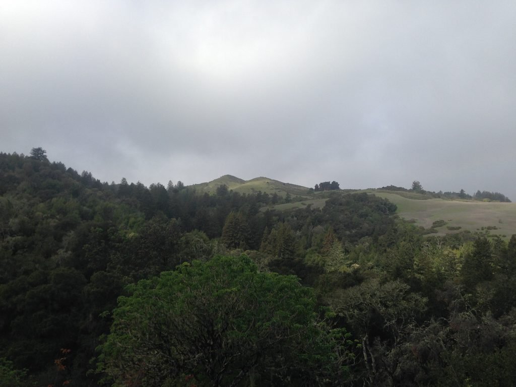
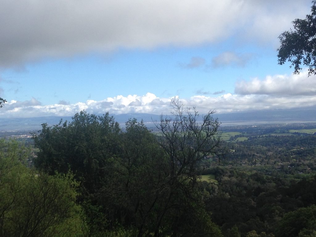
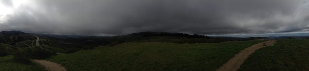
You will pass by the Skyline Blvd entrance to this preserve before entering the Anniversary Trail for the last stretch to the summit. Windy Hill summit provides breathtaking 360⁰ views of the Pacific Ocean on one side and the Bay Area on the other. On a clear day, you can easily make out Stanford Tower, Dumbarton Bridge as well as the glistening waters of the Pacific from the summit.
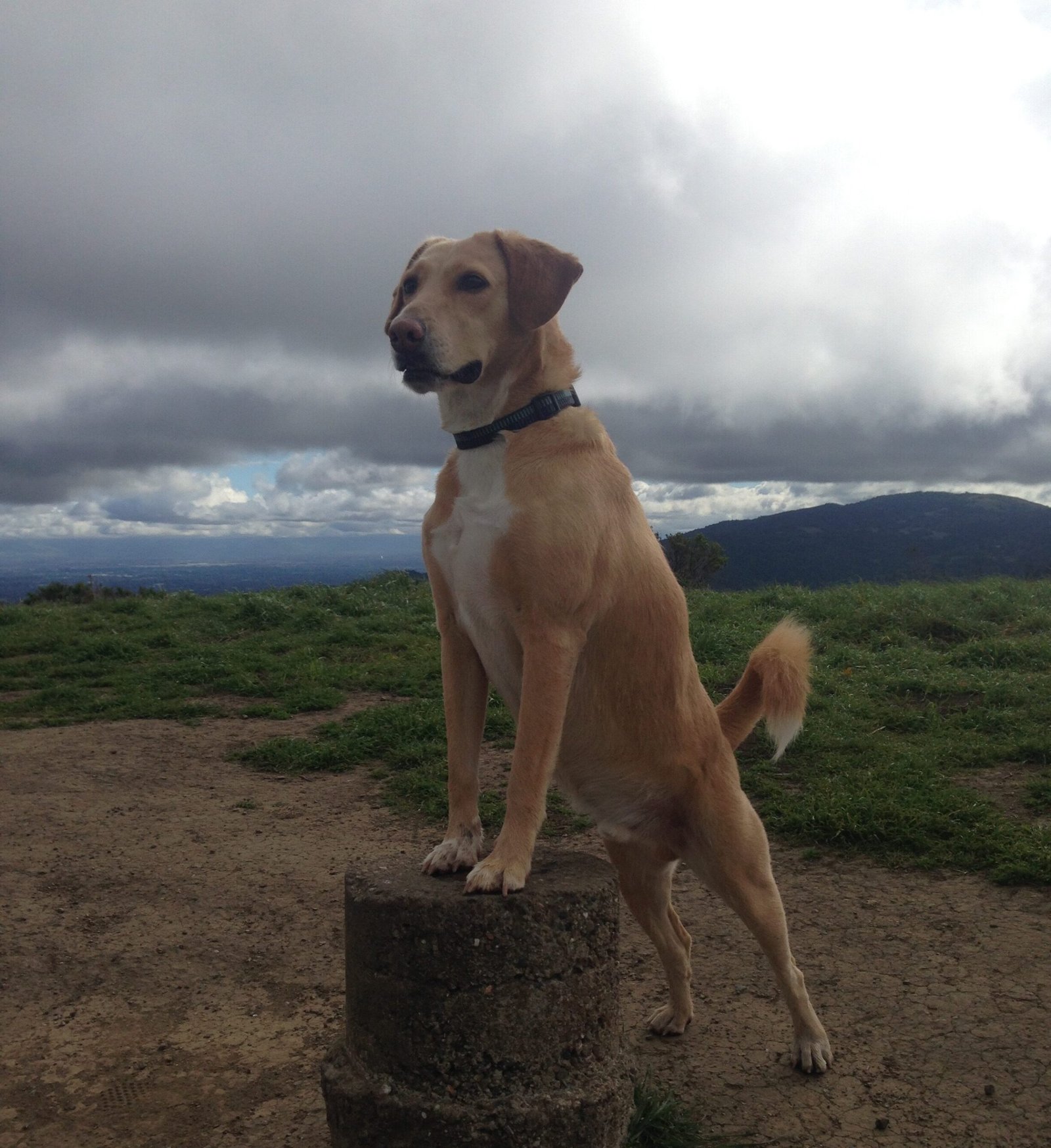
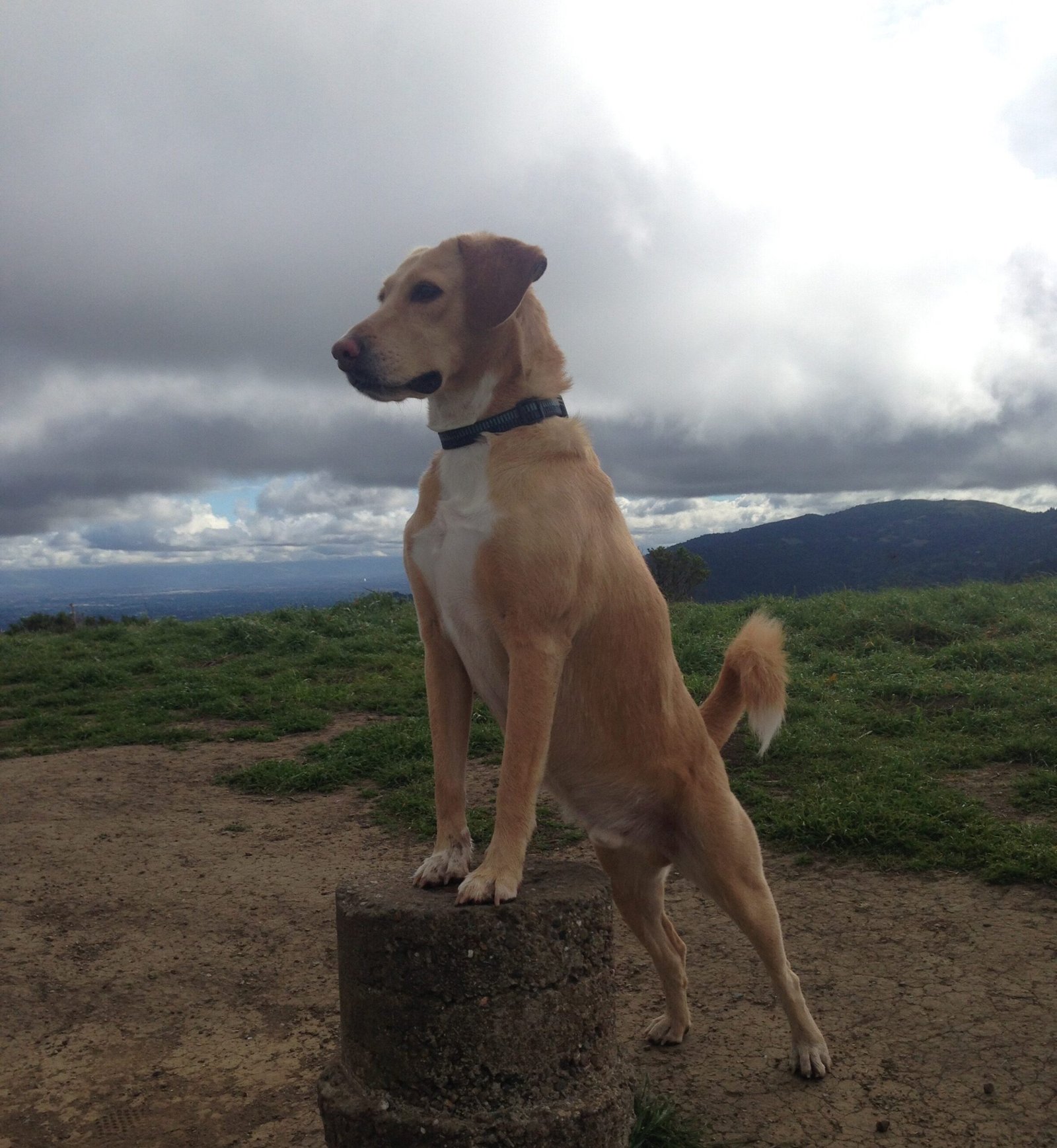
Apollo was clearly elated to reach the summit and didn’t mind showing off a bit. To cap what was already an amazing hike, we experienced the rain clouds from the Pacific move in on us and dust us with a light rain.
We made our way back by Spring Ridge Trail, which had more traffic compared to the one we took to ascend. A steady descent over the next 2.8 miles led us back to the Portola Road staging area.
On the home stretch, we took the Betsy Crowder Trail to wrap up the hike. Unlike the wooded forward portion, Spring Ridge Trail was wider with more traffic and was also predominantly exposed.
By the time we wrapped up. we had done exactly 8 miles that involved a steady elevation gain of about 1400 feet on the outbound stretch.
If you interested in a tougher hike, incorporating Razorback Trail in the loop should do the trick, although dogs are not allowed in that trail.
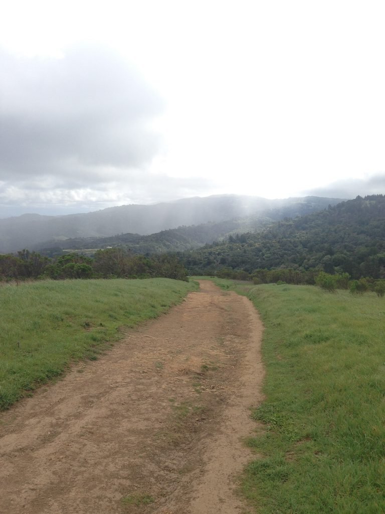
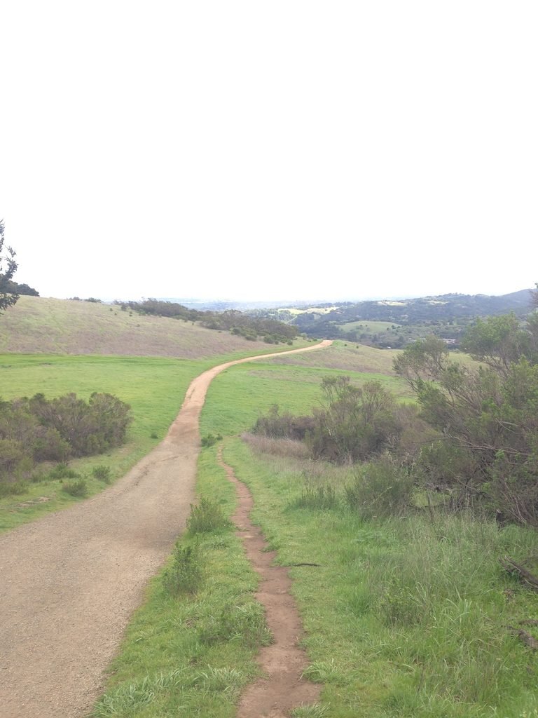

Here is the complete album of photographs from our Windy Hill OSP hike.