Wildcat Canyon Regional Park
A 7-mile hike covering Wildcat creek, Harvey Canyon, Nimitz Way, San Pablo Ridge and Belgaum trails
July 18, 2017
Wildcat Canyon Regional Park is located in Richmond. Alvarado Area serves as the main staging area for the park. If you are traveling Hwy 80 East, take Solano Ave exit, left on Amador St. and right on McByrde Ave and follow it to Park Ave for the staging area. If you are traveling on Hwy 80 West, take McByrde Ave exit to reach the staging area.
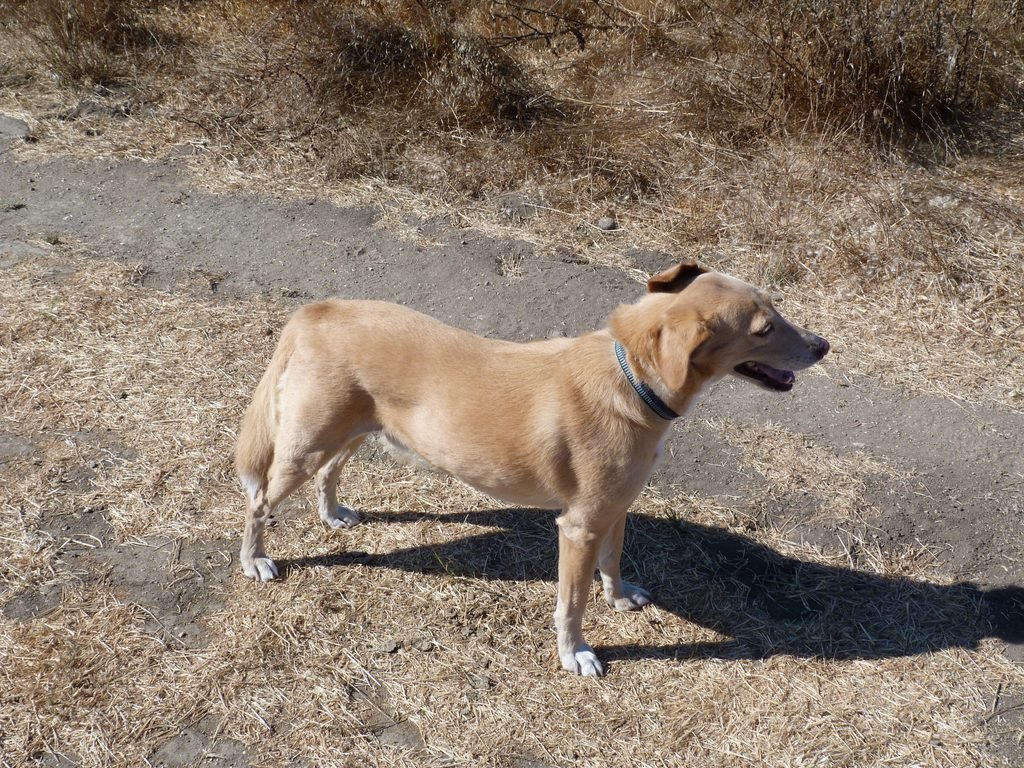
The staging area has plenty of parking spots for cars and can also accommodate several horse trailers. As with most East Bay Regional Park District (EBRPD) parks, Wildcat Canyon is an off leash park, allowing Apollo to have a field day exploring the sights and smells on his own terms.
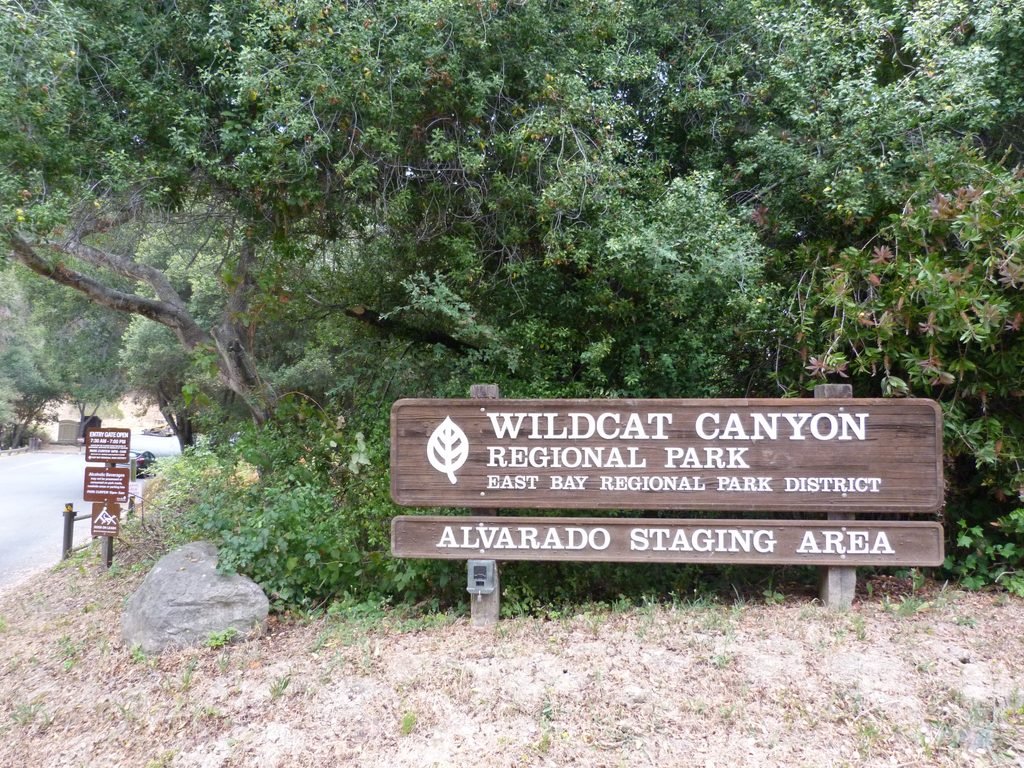

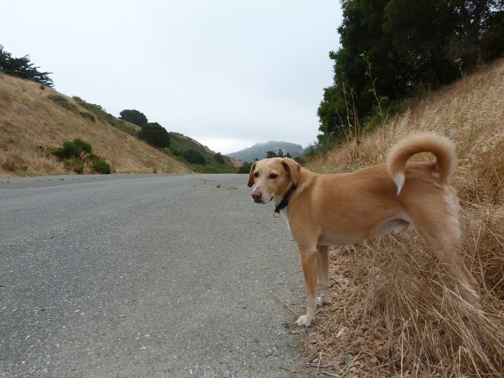
Apollo and I started our hike by Wildcat Creek trail from the main parking lot. Running parallel to the creek, the trail is a wide fire road, as are most of the trails we hiked today. Wildcat Creek trail alternates between paved segments and dirt trails for about a mile. Some paved sections are wide enough to be a four lane road!
It was a cool summer morning with the temperatures staying in the high 50s throughout our hike providing us welcome respite from one of the warmest summers in Bay Area.
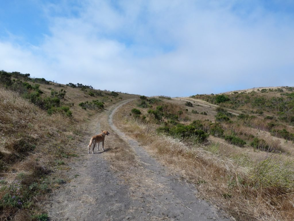
Wildcat Creek trail is easy with minimal elev gain and is flanked by grass hills on one side and the creek on the other. The hills were sporting the classic summer brown grass cover. Past the first mile, the trail stays a dirt road until Rifle Ridge junction.
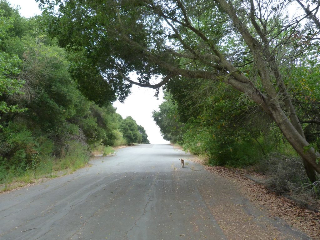
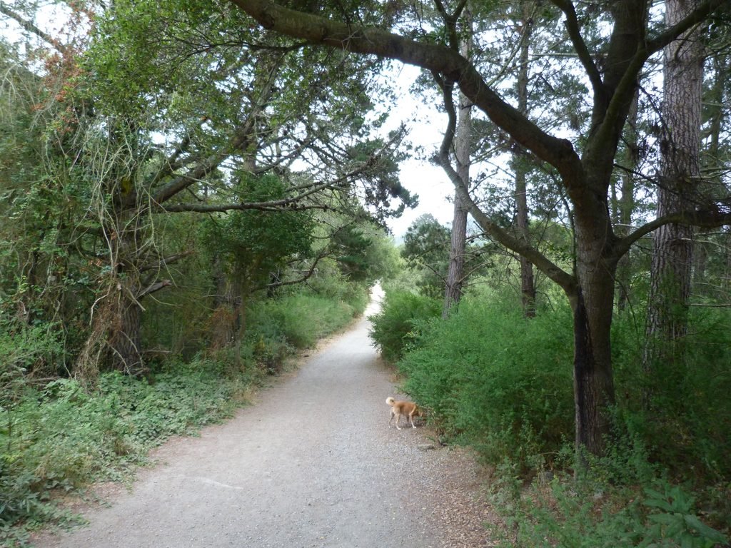
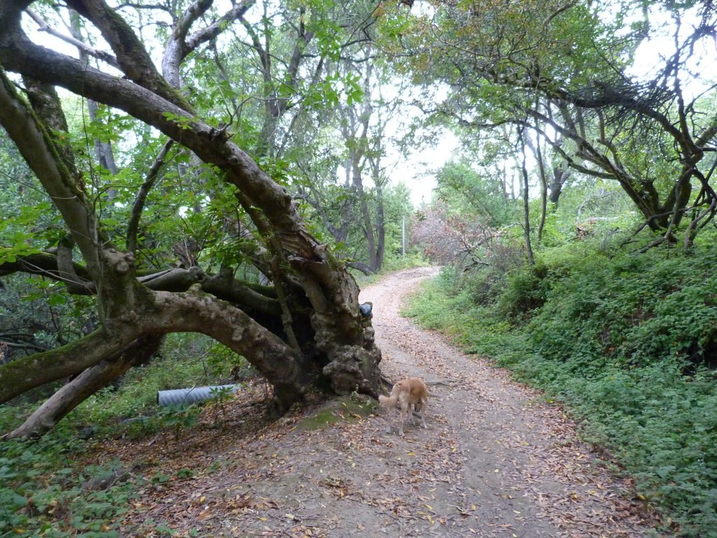

Just past the Rifle Range Road trail, we turned left by Havey Canyon trail. This single track dirt trail provided the sole variation from an otherwise all fire road hike today. EBRPD calls Havey Canyon a rough trail and it was not an exaggeration. The 1.5 mile trail goes through heavily wooded section of the park for about a mile, running parallel to a creek. This trail will be difficult to negotiate during wet season, judging from how the caked mud had dried up.
The trail also involves crossing the creek without a bridge at one point. The creek was flowing, but the water level was low and I was able to cross it without wetting my feet. Not surprisingly, ignoring the dry option, Apollo chose to wade through the water to get across the creek.
In the direction we hiked Havey Canyon trail, it is all uphill for the 1.5 miles, although the grade is reasonable. After crossing the creek, the trail emerges from oak woodlands to an open hillside before it joins Nimitz Way.
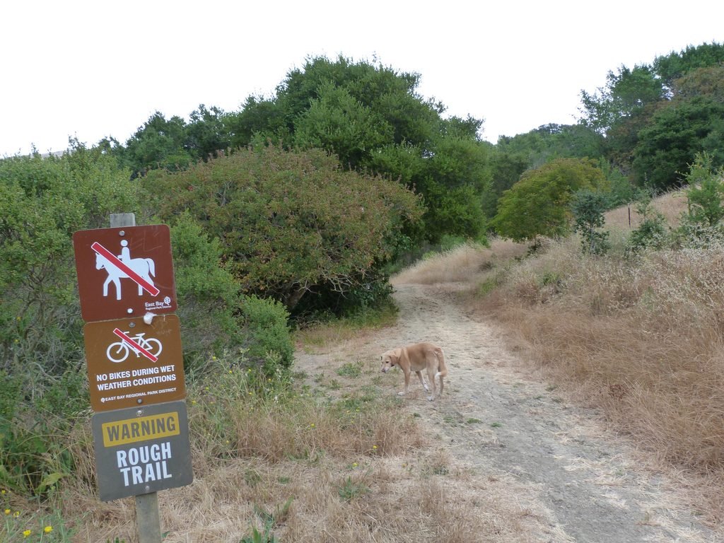


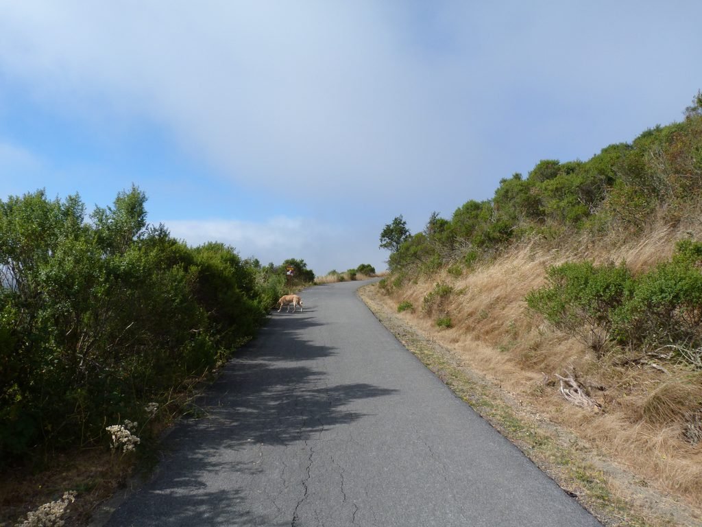
We had hiked Nimitz Way at the beginning of this year. Havey Canyon trail joins Nimitz Way slightly ahead of where we turned around when we did that hike. Nimitz Way is a proper paved blacktop trail and it stays that way for about 1/2 a mile. Set on a ridge top, the walk offers fine views of the hills and canyons of the park on one side and the urban expanse and Carquinez Strait on the other. For a while, one can also see the tip of San Pablo reservoir, the waters glistening in the morning sun.
The paved segment of Nimitz Way ends and a short section by a fire road got us to San Pablo Ridge trail.
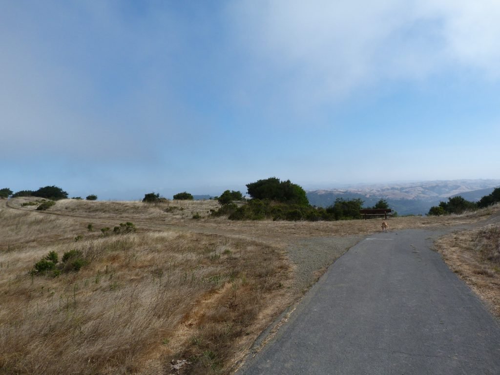

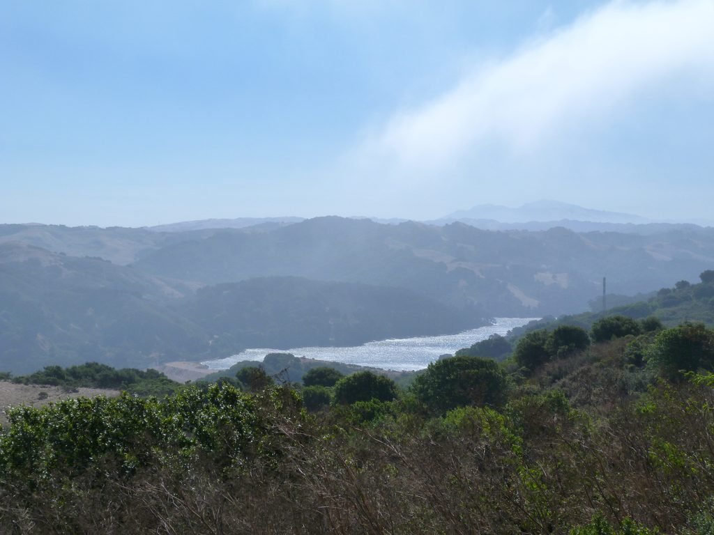
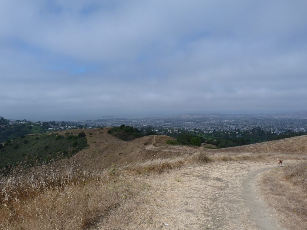
The walk by San Pablo Ridge trail clearly was the high point of our hike – both literally and figuratively. Expansive views of San Pablo bay and its surroundings open up gradually. We had to negotiate couple of hilltops in the ridge trail, but they were not very strenuous.
It was also incredibly windy all along the walk on the ridge. More than once, the photographs I took had to be discarded because my hands shook in the force of the wind as I clicked the photo!
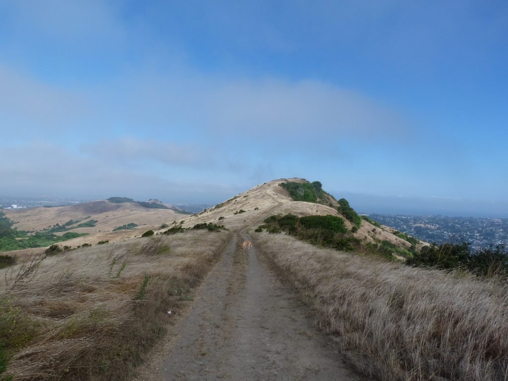
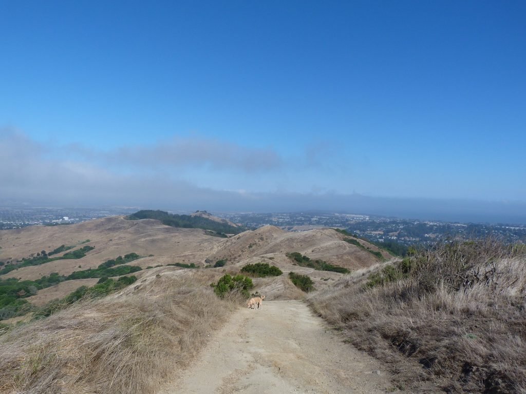
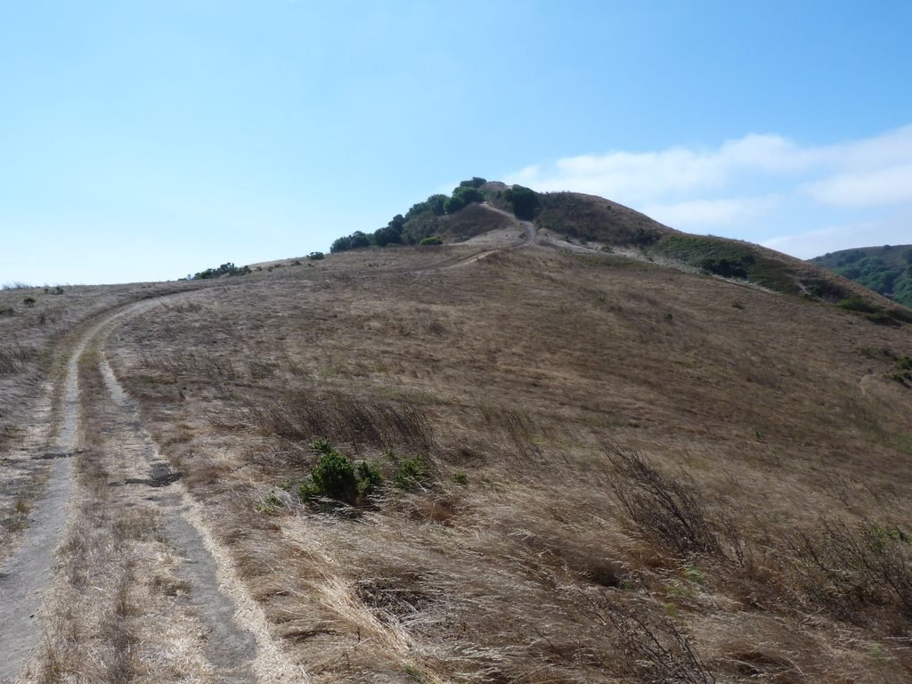
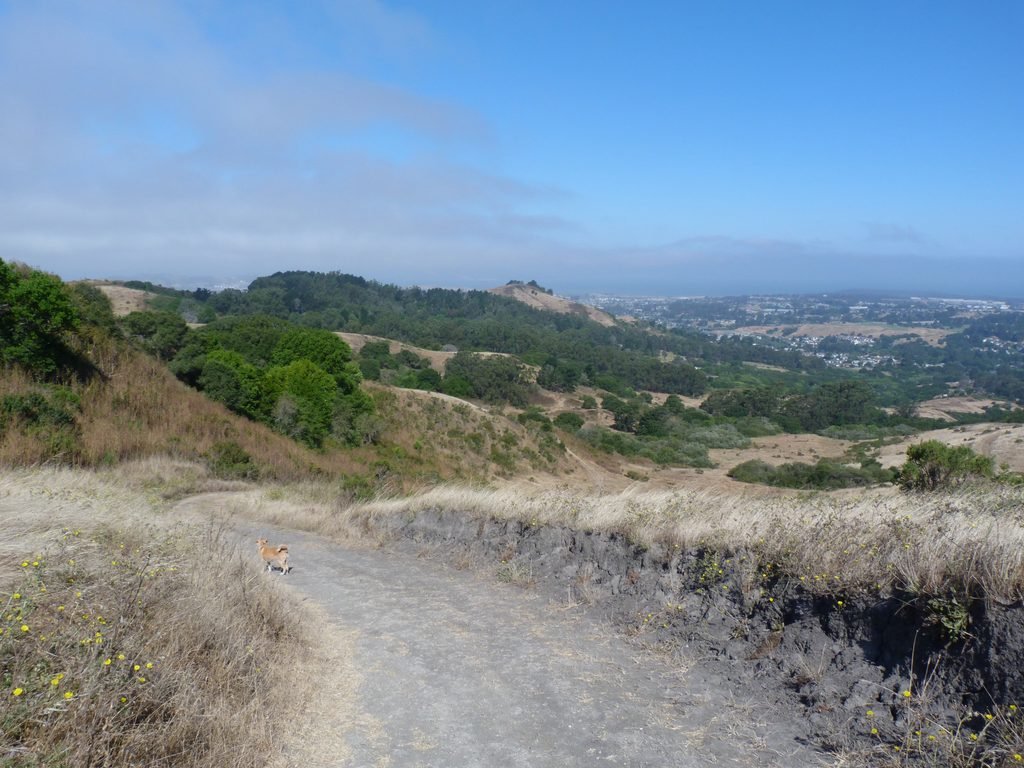
We turned left by Belgum trail to complete the loop. And the mile long walk by Belgum trail was in no way less to the beauty of San Pablo Ridge trail. From here, I could make out Point Richmond area, Richmond Marina and more. Unfortunately, visibility was not great and you really had to know what you were looking at to make them out in the distance.
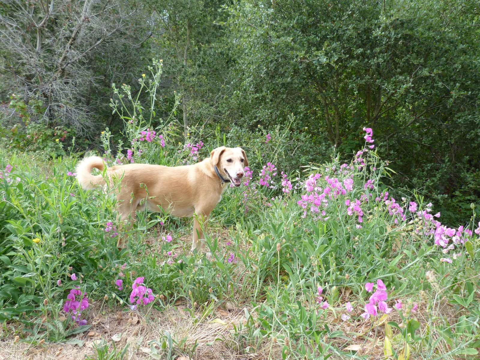
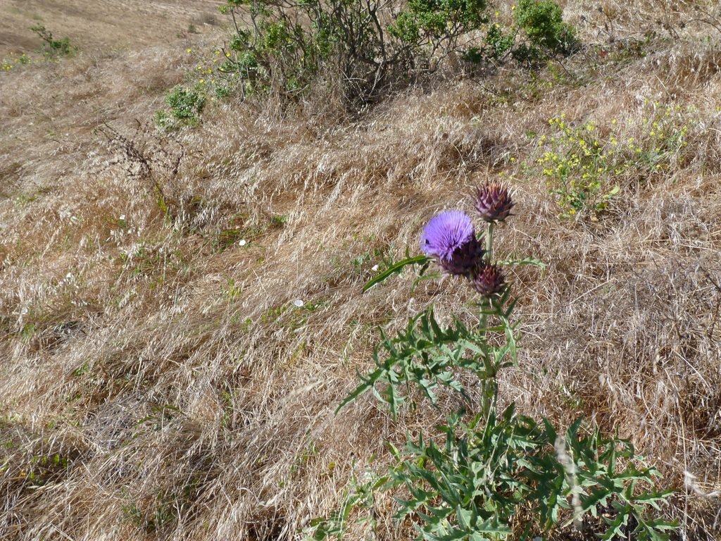
As an added bonus, we were able to see some of the left over spring bloom, including a really unusual purple flower.
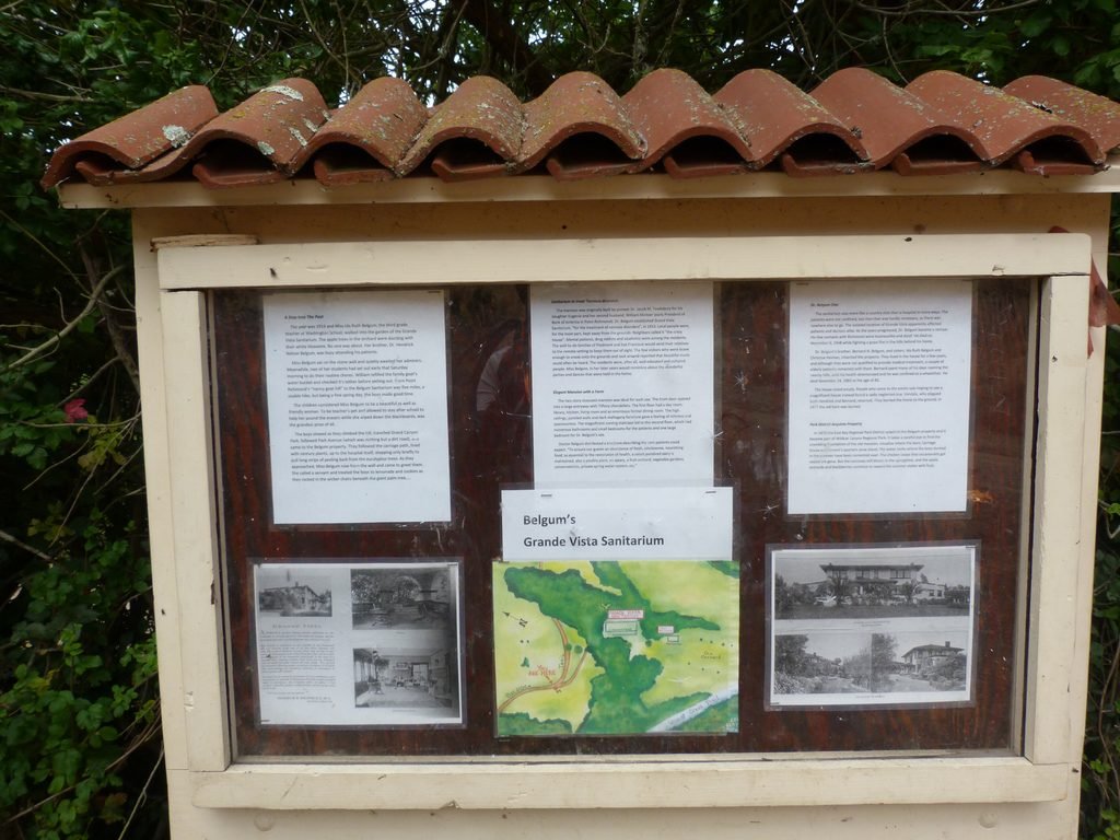
Just before completing the loop connecting to Wildcat Creek trail, you would pass by the site of Grand Vista Sanitarium run by Dr. Belgum, to whom the trail is named after.
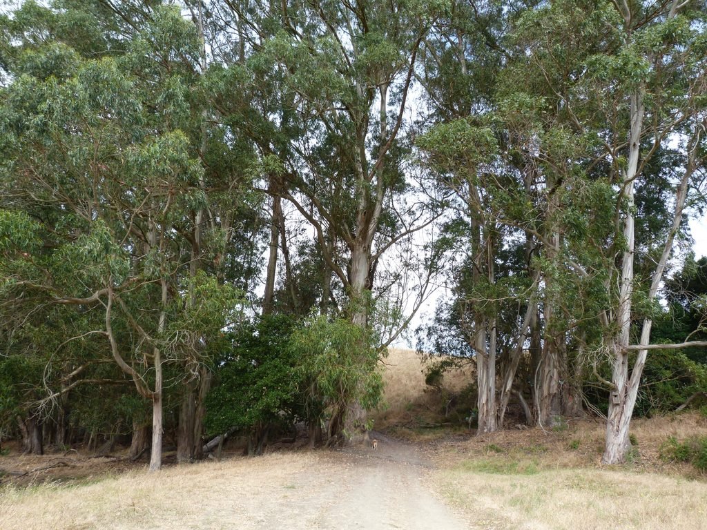
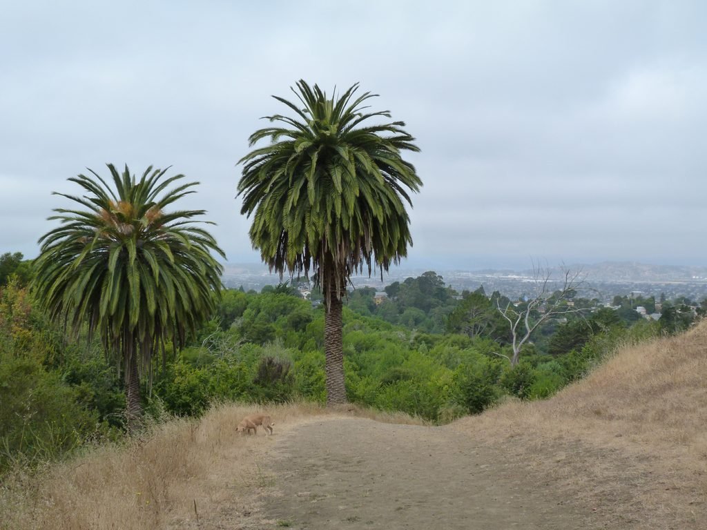
The walk by Belgum trail is predominantly downhill, passing through an eucalyptus grove and some fine looking palm trees.
We wrapped up the hike retracing a short segment by Wildcat Creek trail to reach the Alvarado staging area.
Our hike today added up to 7 miles with about 1200 feet elevation gain. Apollo set the pace, probably covering ~8 miles with his mini excursions exploring more of the park outside of the trails.
I am characterizing this as moderate in spite of the elevation gain primarily because the uphill portions are gradual and spread over a long distance.

Here is the complete album of photographs from our hike at Wildcat Canyon Regional Park.