Boccardo Loop Trail
A 4.7 mile hike in Sierra Vista OSP covering Boccardo Loop trail and portions of Sierra Vista trail
June 3, 2017
I was back for my second hike here, this time intending to complete the Boccardo Loop trail. I had hiked Sierra Vista Open Space Preserve last week and covered the Upper Calaveras Fault trail loop. From Hwy 680, take Berryessa Rd exit, left on Piedmont Rd and a quick right on Sierra Rd. The parking lot is located on top of Sierra Road and has room for several cars and equestrians.
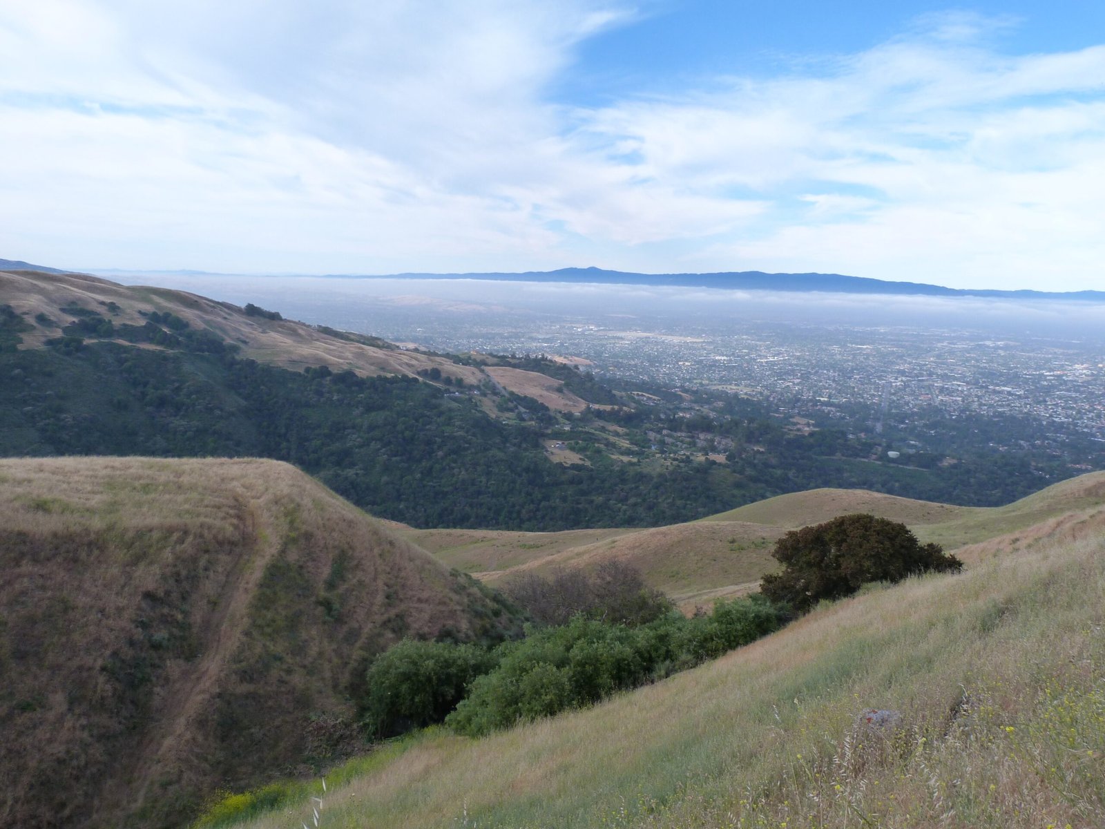
Today was a warmer day compared to my previous visit here and the vista point at the parking lot offered a classic summer view of the valley covered in morning fog.
I started by taking the short 1/4 mile Kestrel trail. At the intersection with Sierra Vista trail, I turned right this time, heading in a south westerly direction.
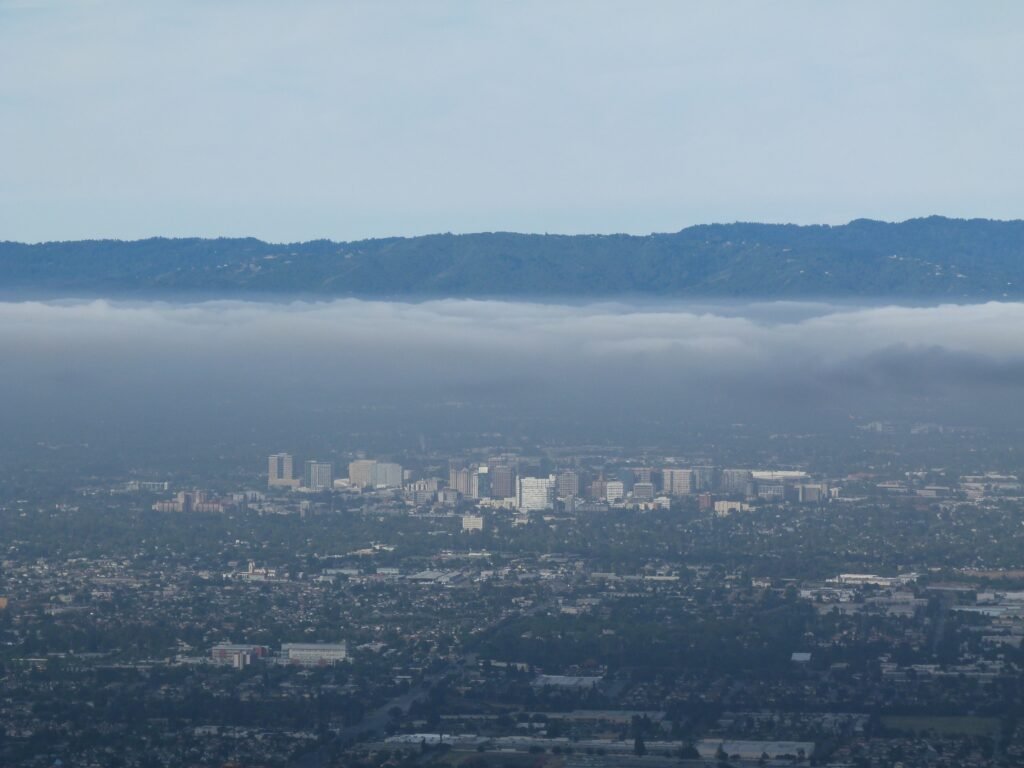
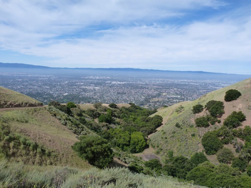
Sierra Vista trail offers excellent views of the hillside and the valley as you walk west. Like I mentioned, it was a fine summer like start to the hike and the valley was covered with a shroud of fog. I equated the thick cloud cover on top of the fog to icing on a cake against the backdrop of the Santa Cruz mountains in the back.
The urban view of the valley included San Jose downtown with its high rise buildings looking like a set of matchboxes stacked neatly next to each other! You can enjoy this view pretty much the entire 1/2 mile section of Sierra Vista trail and even beyond.
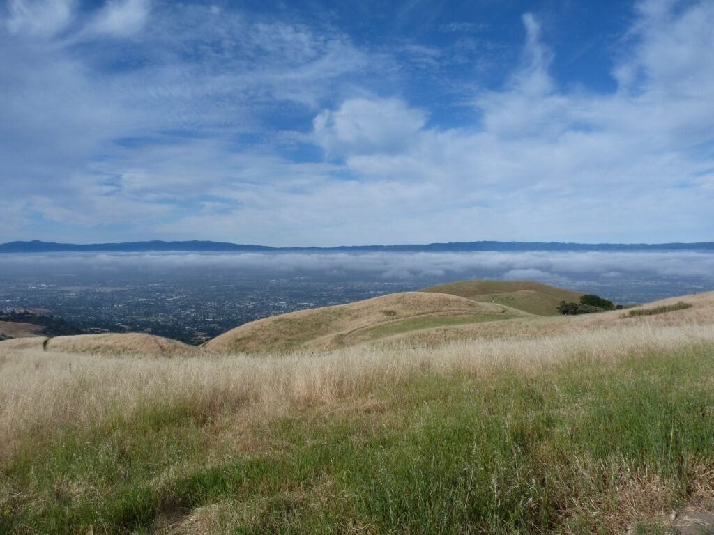
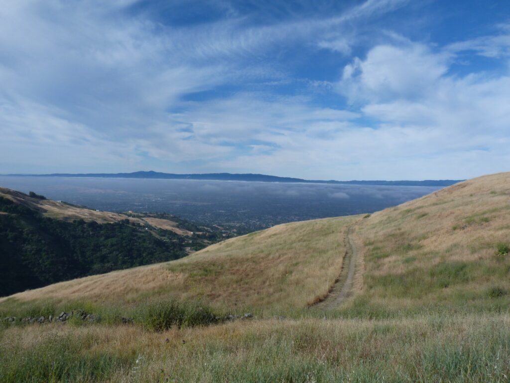
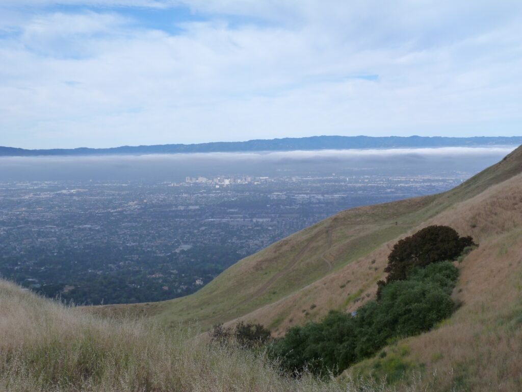
Sierra Vista trail ends at the Boccardo Loop trail. It is possible to do the loop in either direction. But before heading out on the 2.7 mile loop. I would recommend doing the 1/4 mile out and back segment by the Boccardo Spur trail.
The short segment zig zags and takes you 150 feet higher to a hilltop with more views of the valley covering the peninsula in addition to the San Jose downtown.

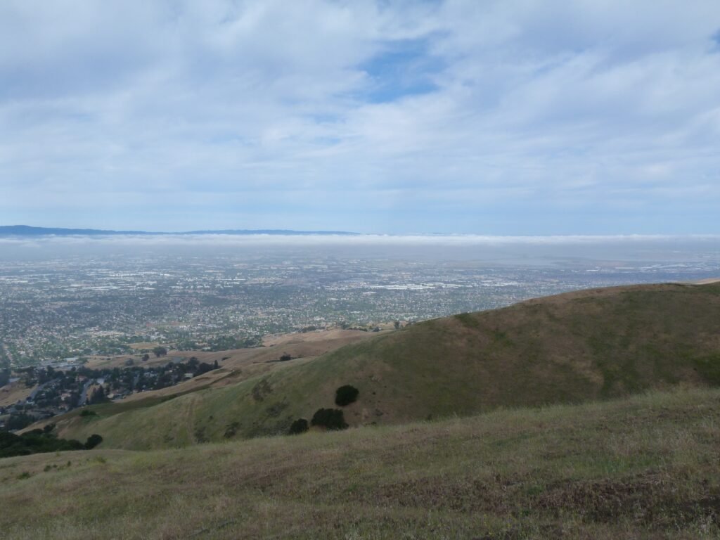
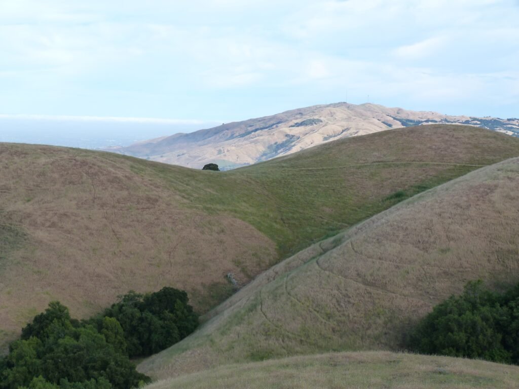
I chose to do the loop in the clockwise direction. The 2.7 mile segment descends 1.6 miles in the clockwise direction and gains all the elevation by the shorter 1.1 mile segment from the low point. There were several mountain bikers out there this morning and everyone preferred to do the loop counterclockwise, descending faster and using the longer segment to climb back. This worked out fine as I was able to see the bikers in front and yield to them.
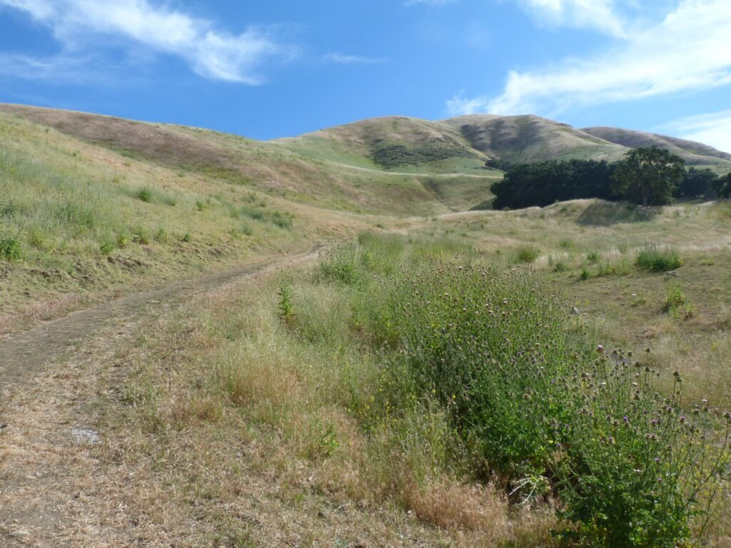
You will have expansive views of the fast browning hillsides along with stretches covered by wildflowers in this segment. As you descend, you will also have some impressive views of the rolling hills on one side and the valley on the other.
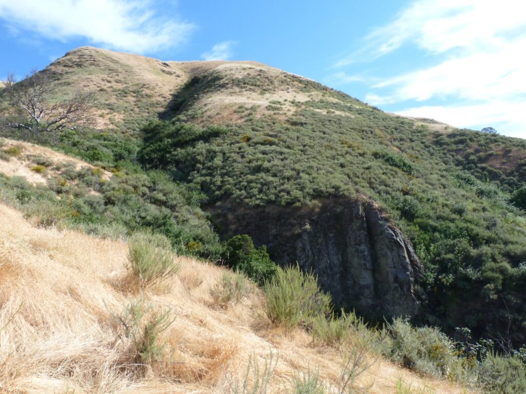

At the lowest elevation point in the hike, there is a short connector that takes you to the neighboring Alum Rock county park. And I started off on the shorter and steeper segment of the Boccardo Loop trail to regain all the elevation I had given up.
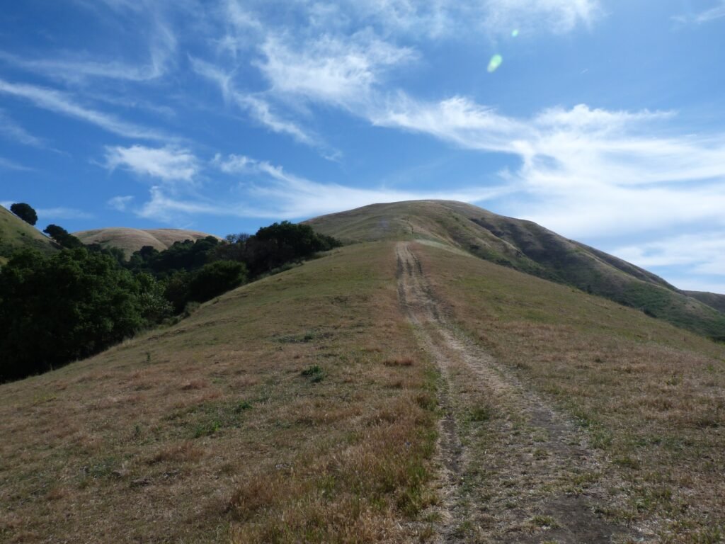
This climb is relentless, about 850 feet gain in just over a mile. The entire hike is also completely exposed, with one or two trees offering shade for a breather. The only reasonable respite you get is towards the very end, just as the loop is about to complete. Even though the respite is brief, I gladly welcomed it as the day was fast starting to warm up.
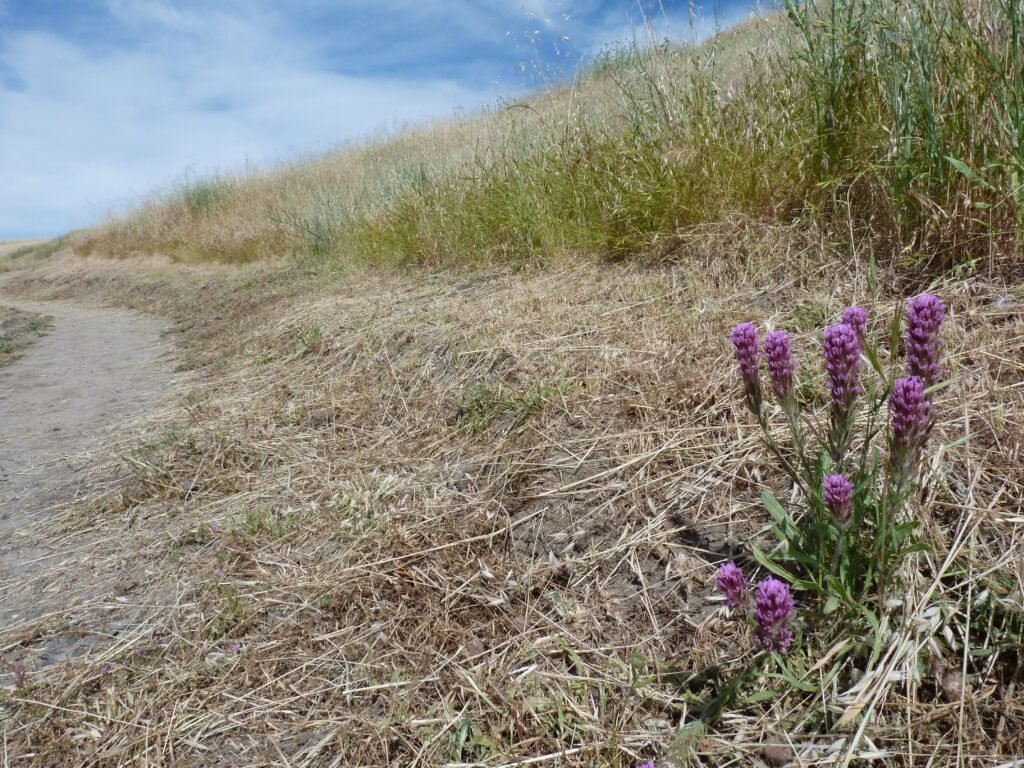
I wrapped up the hike retracing my steps back by Sierra Vista trail first and Kestrel trail subsequently, both of which are uphill segments. But not before pausing a moment to capture another beautiful purple spring flower.
Today’s hike added up to 4.7 miles with about 1200 feet elevation gain overall. This is a fully exposed hike, so best done when the weather is not hot.
Here is the complete album of photographs from my Sierra Vista OSP hike covering Boccardo Loop trail and portions of Sierra Vista trail.