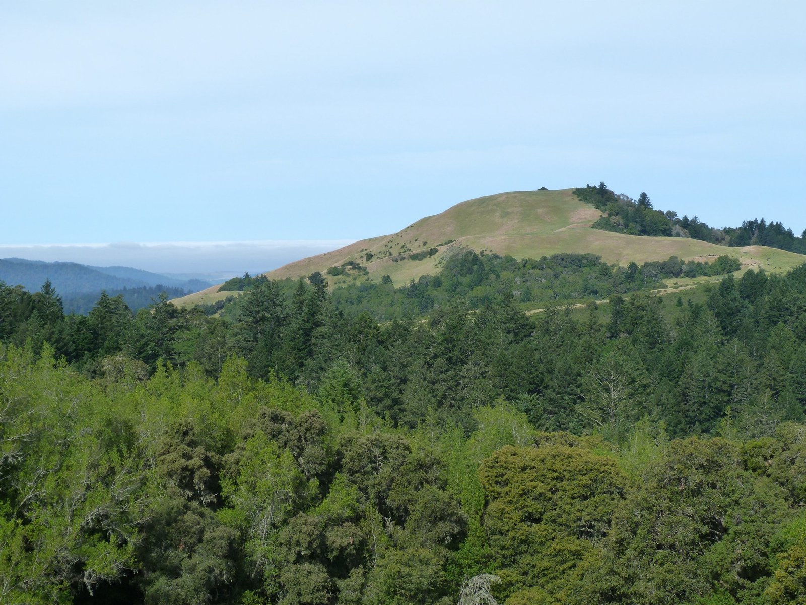
Borel Hill
A 5.7 mile hike in Russian Ridge OSP covering Ancient Oak, Ridge and Charquin trails as well as Audrey Rust Commemorative site and Borel Hill
June 7, 2017
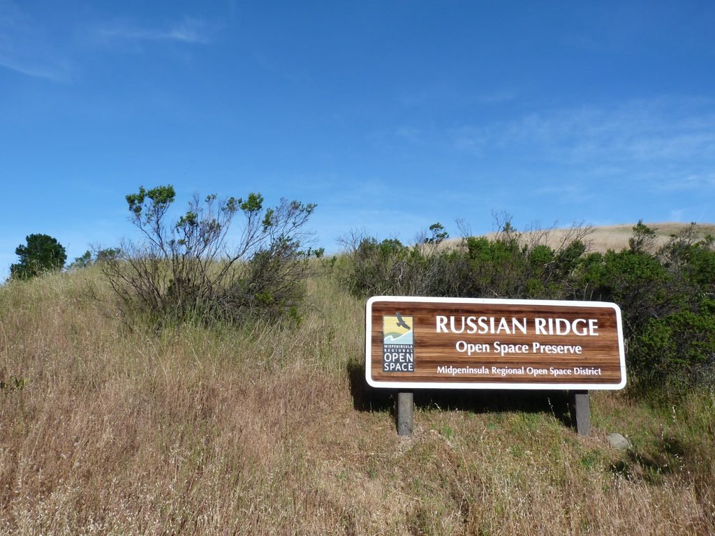
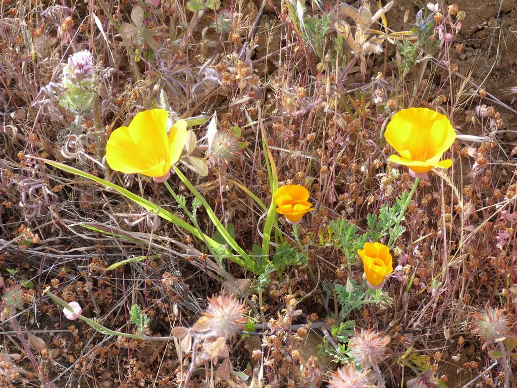
Russian Ridge Open Space Preserve, part of Midpeninsula Regional Open Space District is considered one of the best places to view wildflowers in Bay Area. While summer is fast approaching, today’s hike did not disappoint as the preserve put on a fine show of spring flowers.
The main parking lot for this preserve is located at the intersection of Skyline Blvd (Hwy 35) and Page Mill Road/Alpine Road which is the one that I used today. There are two other spots that can be used, one on Skyline Blvd at the Cloud’s Rest vista point and another on Alpine Road by the Audrey Rust commemorative spot.
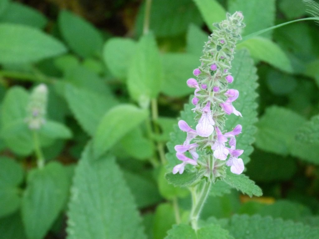

From the main parking lot, I started off hiking north by Ridge trail. Ridge trail is part of the Bay Area Ridge trail system, 3 miles of which passes through the Russian Ridge preserve. The first 1/2 mile is an easy climb, as the rolling hills along the ridge opens up providing some fine views all around.
At the first intersection, I turned left by Ancient Oaks trail making my way westward towards the Audrey Rust commemorative site. Not surprisingly, Ancient Oaks trail passes through heavy oak woodlands and by a creek (Alpine creek?) that did not have any water in it today. Portions of this trail was single track, that seemed exceptionally narrow when it goes through tall thick grasslands.
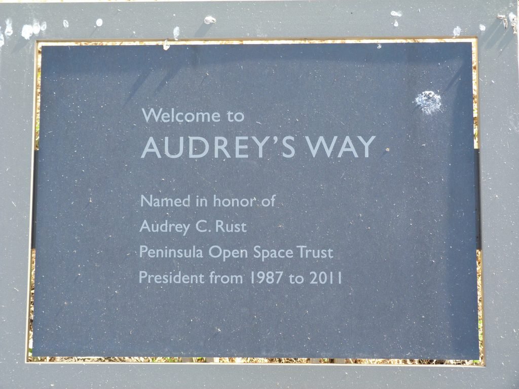
Emerging from a wooden bridge, Ancient Oaks trail ends right at Audrey C Rust commemorative site, erstwhile president of POST and a nature enthusiast whom we all have much to thank for. Take a moment to enjoy the views from this site, including the first glimpse of Mindego hill at the northwestern corner of the preserve.
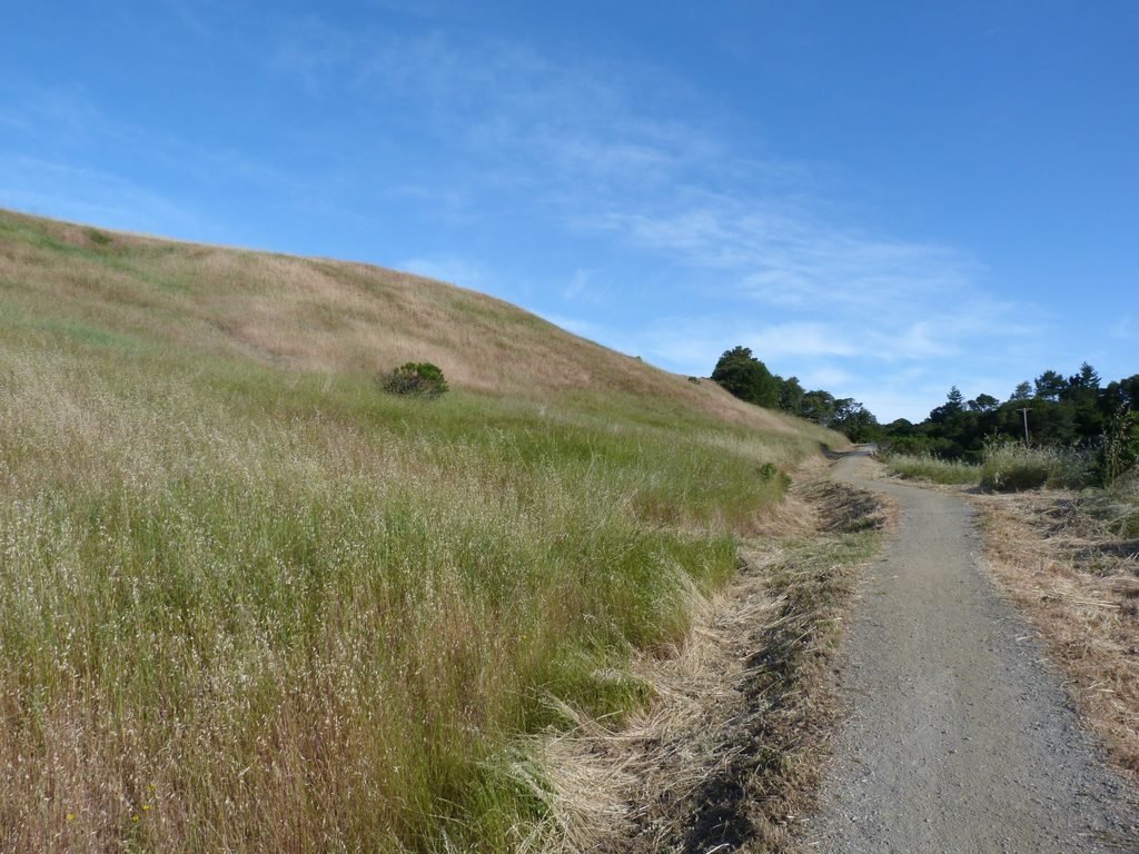
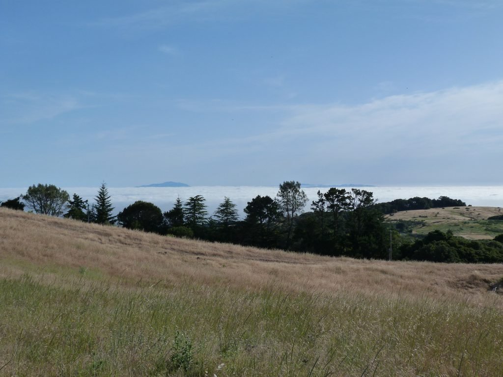
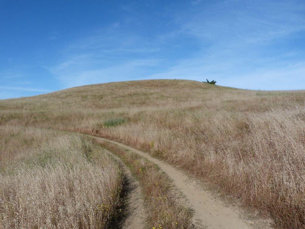
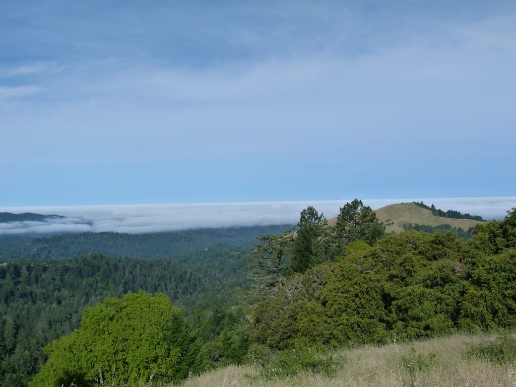
I continued the hike in a northerly direction by Mindego Hill trail. The wide fire road eases much of the way for the 1/2 mile I was on this trail. And at the next intersection, turned right by Charquin trail. Mindego Hill trail goes all the way to the summit (a 3.6 mile out and back exercise for those interested) from this junction.
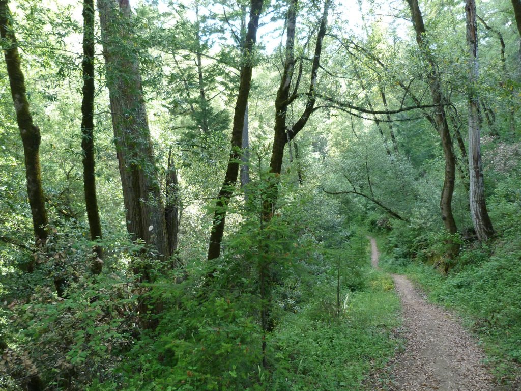
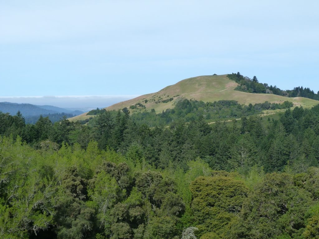
Charquin trail is predominantly shaded, especially for the first mile. The trail goes by Mindego creek which still had water flowing in it. And when it emerges out by hilly grasslands, you will get few more fine views of Mindego Hill.
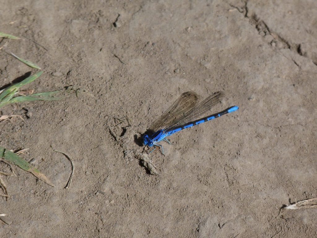
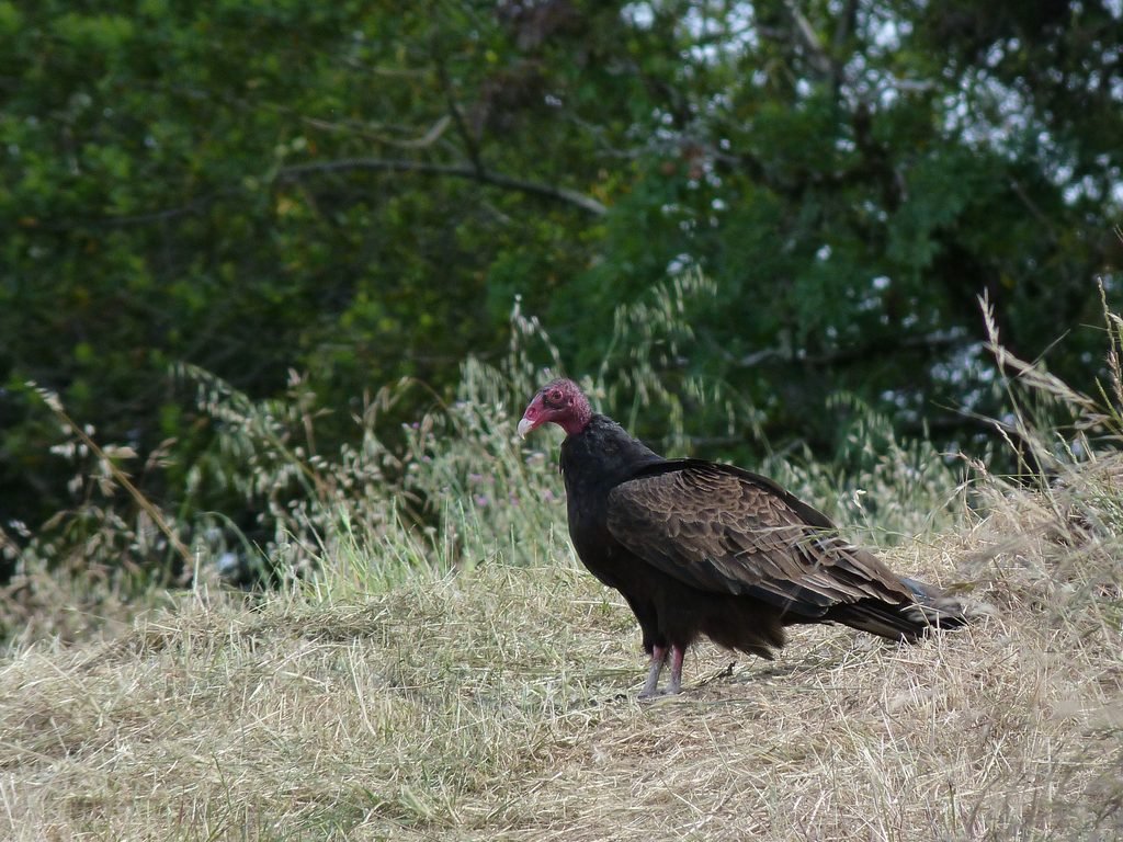
While passing through the open grasslands, I was fortunate enough to capture two unusual winged species in the Charquin trail. The first was a colorful dragonfly. And the second was a turkey vulture.
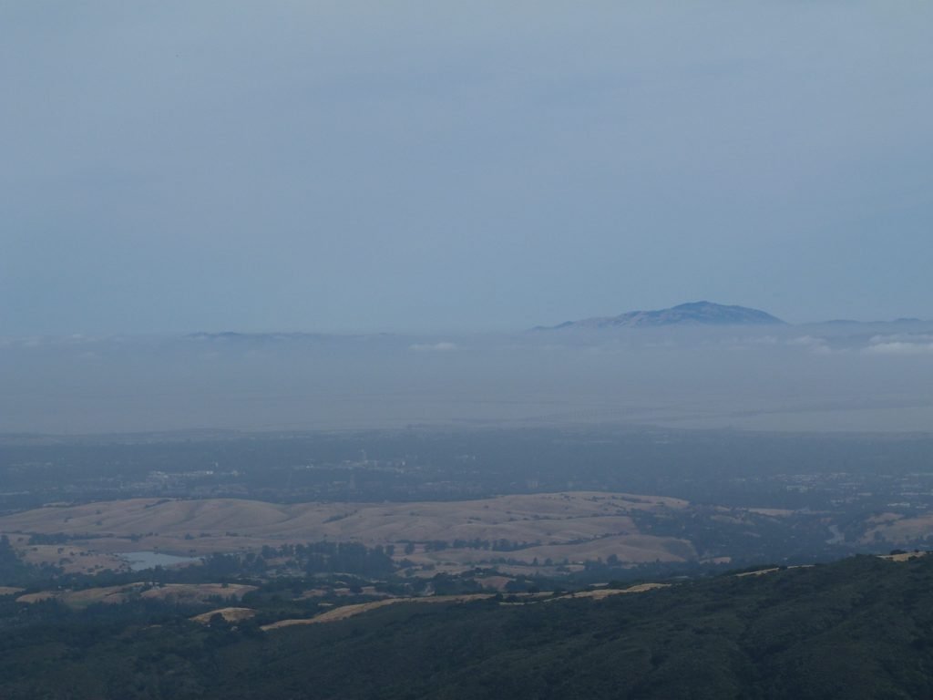
The final 1/4 mile stretch of Charquin trail really opens up to some excellent views of the mountain range, interspersed with wildflowers.
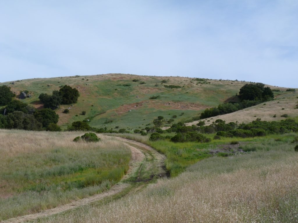
Charquin trail ends when it meets Ridge trail. Turning right and heading in the southerly direction, I did the stretch to reach Borel Hill summit, the highest point recorded by U.S. Geodetic survey in 1947! Orange poppy flowers and more were visible along this stretch confirming the assertion that this preserve is indeed one of the best locations for wildflower viewing.
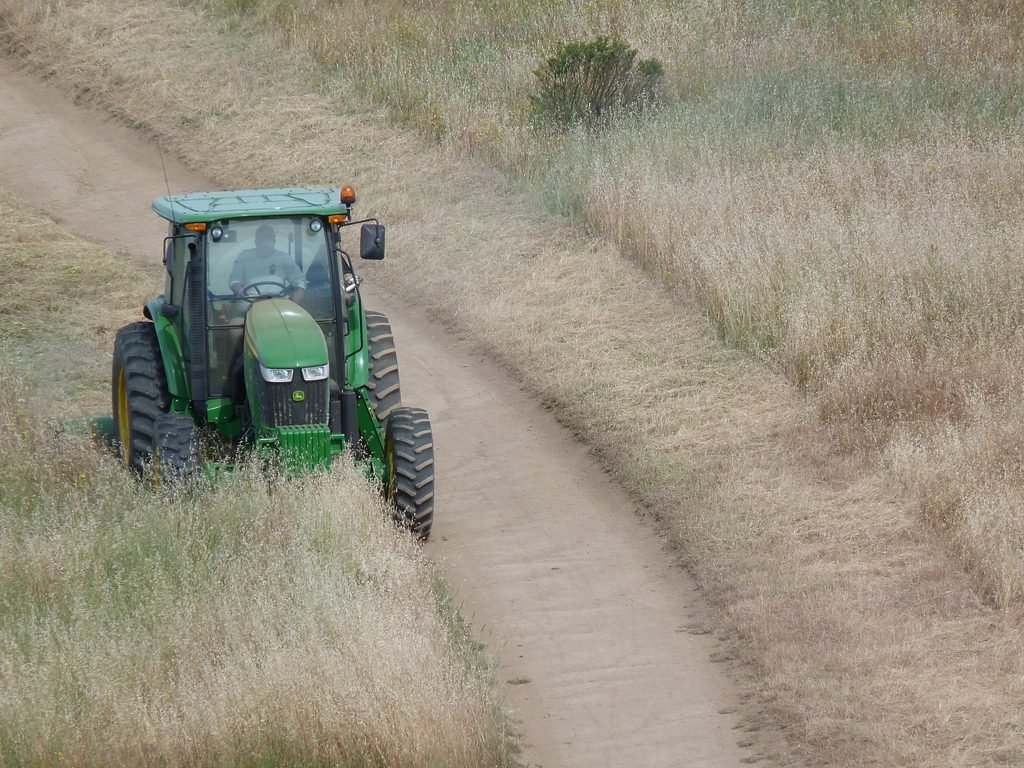
MROSD was also busy preparing the trails for summer and the impending fire season, mowing the overgrown grasslands.
Past Borel Hill, the final 1/2 mile is essentially retracing the steps by Ridge trail to the main parking lot.
The 5.7 mile hike involved about 1100 feet elevation gain which I had completed at a leisurely pace of 2.4 mph.

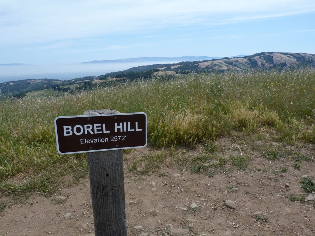
Here is the complete album of photographs from my first hike at the Russian Ridge OSP to Borel Hill.