
Rancho Canada Del Oro Preserve
An 8-mile long loop covering Mayfair Ranch, Longwall Canyon, Bald Peak and Catamount trails in the scenic Rancho Canada Del Oro OSP
March 28, 2017
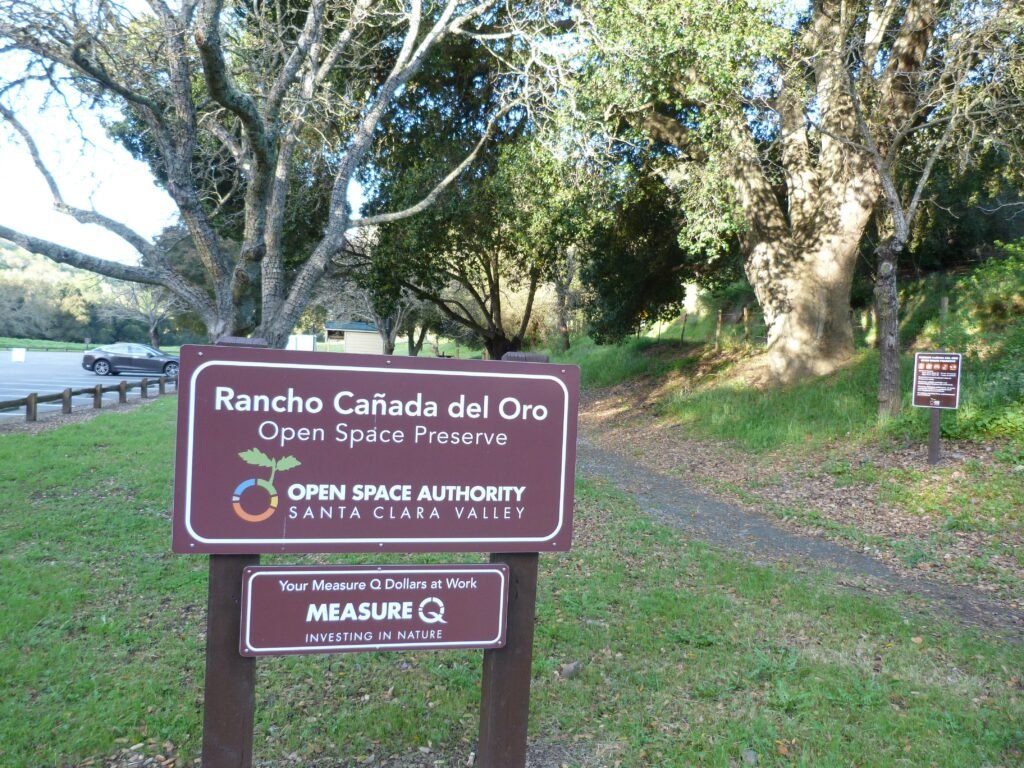
Rancho Canada Del Oro preserve, located south of Calero Park, is part of Open Space Authority (Santa Clara Valley). Plenty of free parking is available at the Casa Loma staging area, located at the end of Casa Loma Road, off McKean Road / Uvas Road.
There is a paved, accessible loop from the main parking lot, the Llagas Creek loop trail. Rest of the 8 miles of trails in the preserve is on the north side of Casa Loma Rd.
I started the hike from Mayfair Ranch trail. The 3.1 mile long trail starts off as a single track dirt trail but over time, will widen somewhat. The trails climbs steadily from the get go, going through oak woodlands. Shy of a mile into the hike, the grade eases and the trail enters an open grasslands area.
What was absolutely striking was how lush and breathtaking the greenery was all around. This remarkable scenery lasts for more than 1/2 mile, a sight for sore eyes after 5 years of drought.
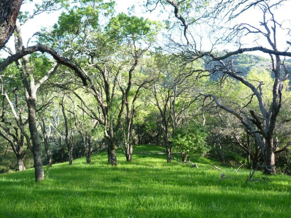
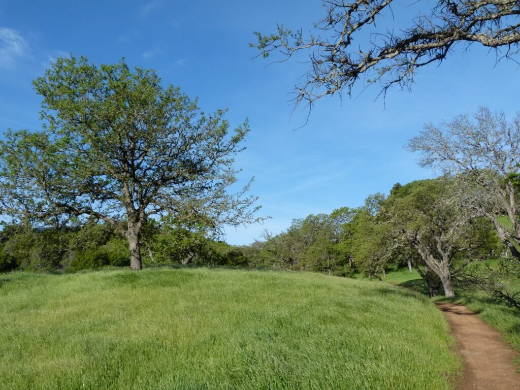
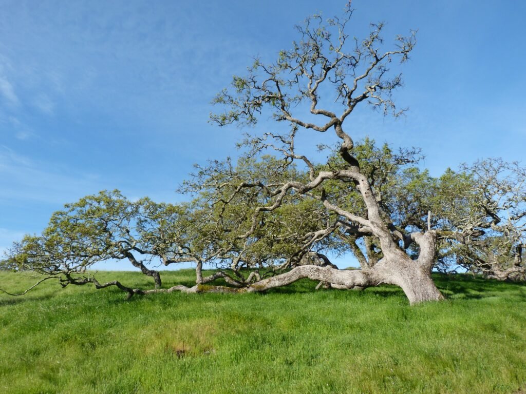
By now, the you would have climbed about 700 feet. From here, the trail goes deeper into the woods, a largely shaded oak woodlands again as it descends, completely giving up the entire elevation gain by the time it reaches Llagas Creek.
The trail was wet and muddy in several spots, with lots of small creeks flowing down the hillside and across the trail into the creek. Eventually, it runs parallel to the creek for more than 1/4 mile before crossing over by a bridge.
Soon after crossing the creek, the trail starts ascending again before coming up on Longwall Canyon trail intersection. For those intending to do the shorter Mayfair-Longwall Canyon loop described in the brochure, turn right at this intersection. I had decided to complete the longer Mayfair-Catamount loop and turned left at this junction.
Longwall Canyon trail is a steep climb much of the way for the next mile and a half. The trail offers excellent views of the Santa Cruz mountain range and canyons as it makes it way up. I could make out the charred hillside from the Loma fire last fall – I had hiked by the neighboring Calero Park when the fire was in full force.
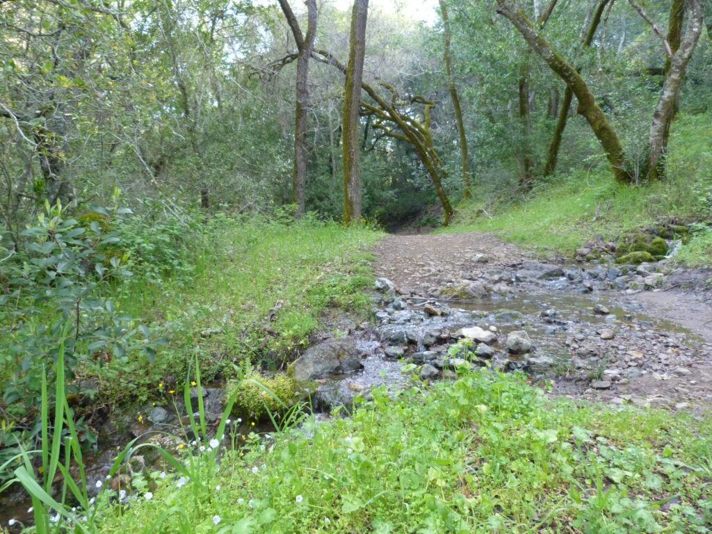
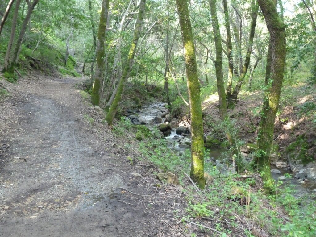
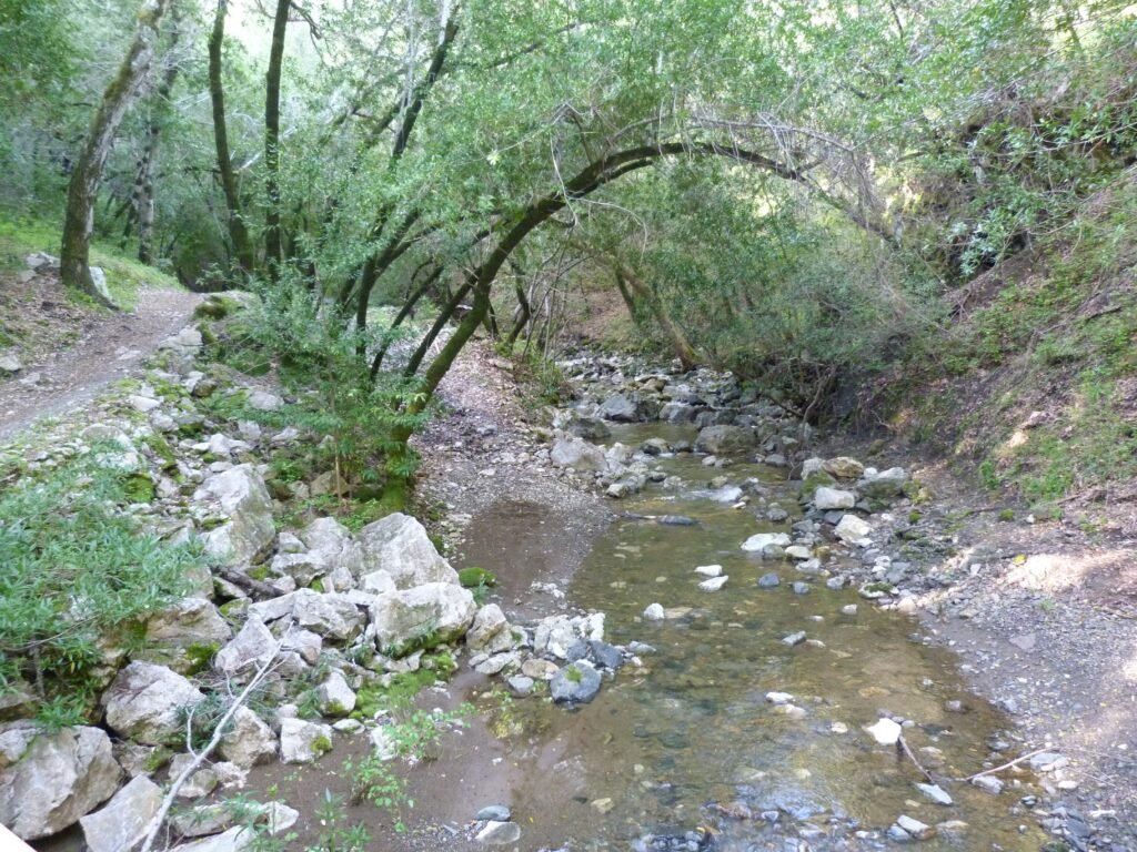
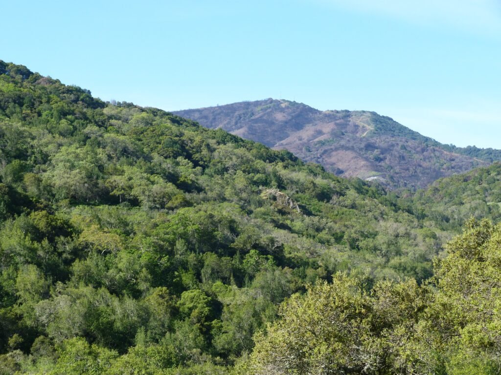
The beautiful spring day hike was filled thus far with lush greenery of the grass, soothing sound of the water flowing in the creeks and views of the mountain ranges. But the high point of this hike was just coming – both literally and figuratively.
The arduous climb by Longwall Canyon trail gets you to Bald Peaks trail. And the next mile by this trail is simply amazing! You will be treated to sweeping views of the Almaden valley, Mt. Umunhum, Calero reservoir and more one side, Diablo mountain range on the far east and as the trail makes its way through incredibly beautiful stretch of green rolling hills and peaks.
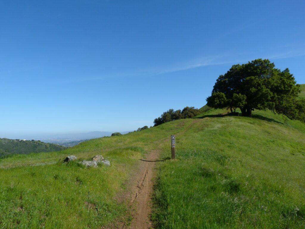

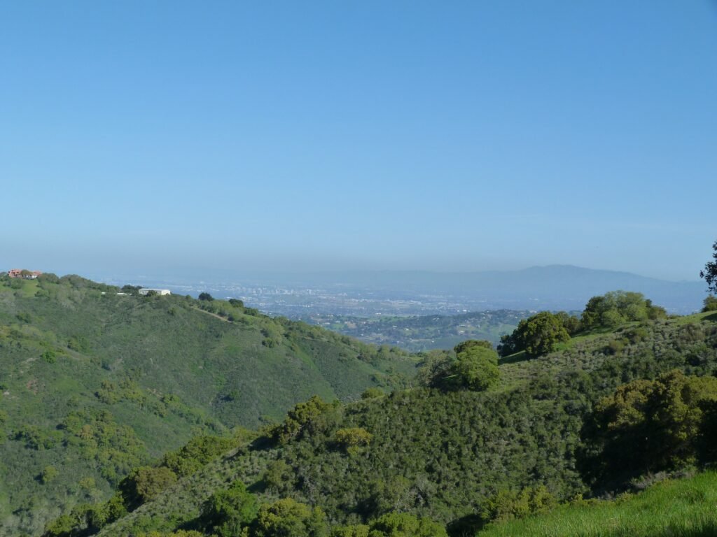
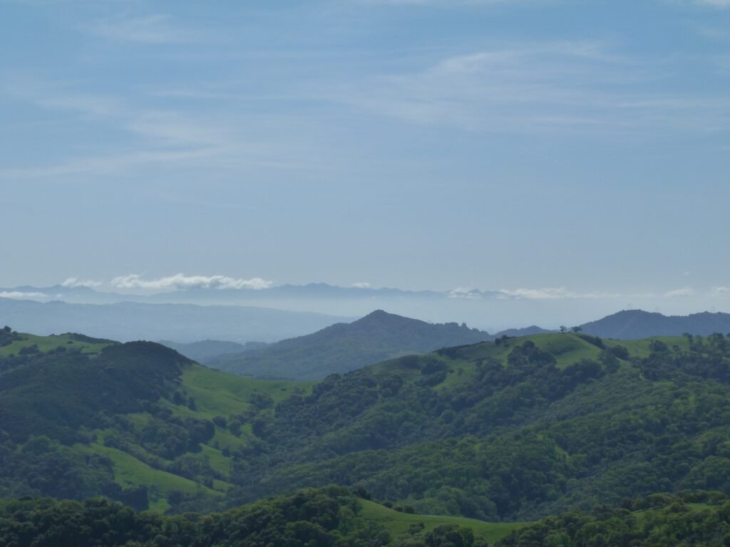

Bald Peaks trail continues into Calero park, a portion of which I had hiked with Apollo last fall. All these views were made possible because of another ~900 feet of elevation gain by Longwall Canyon and Bald Peaks trails.
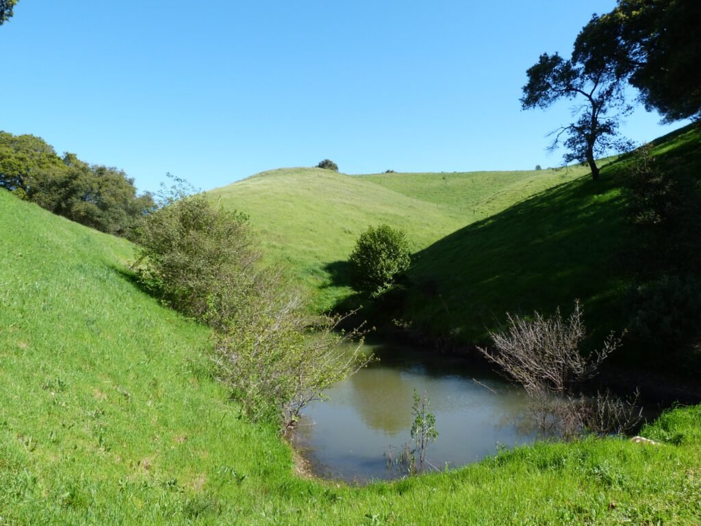
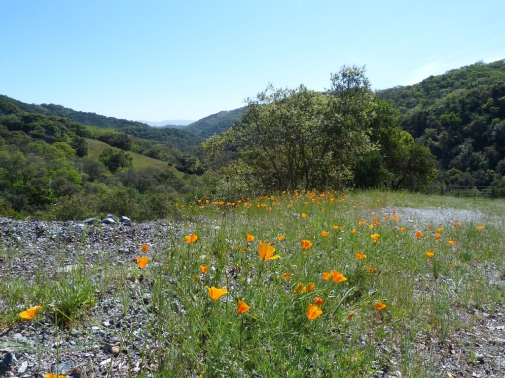
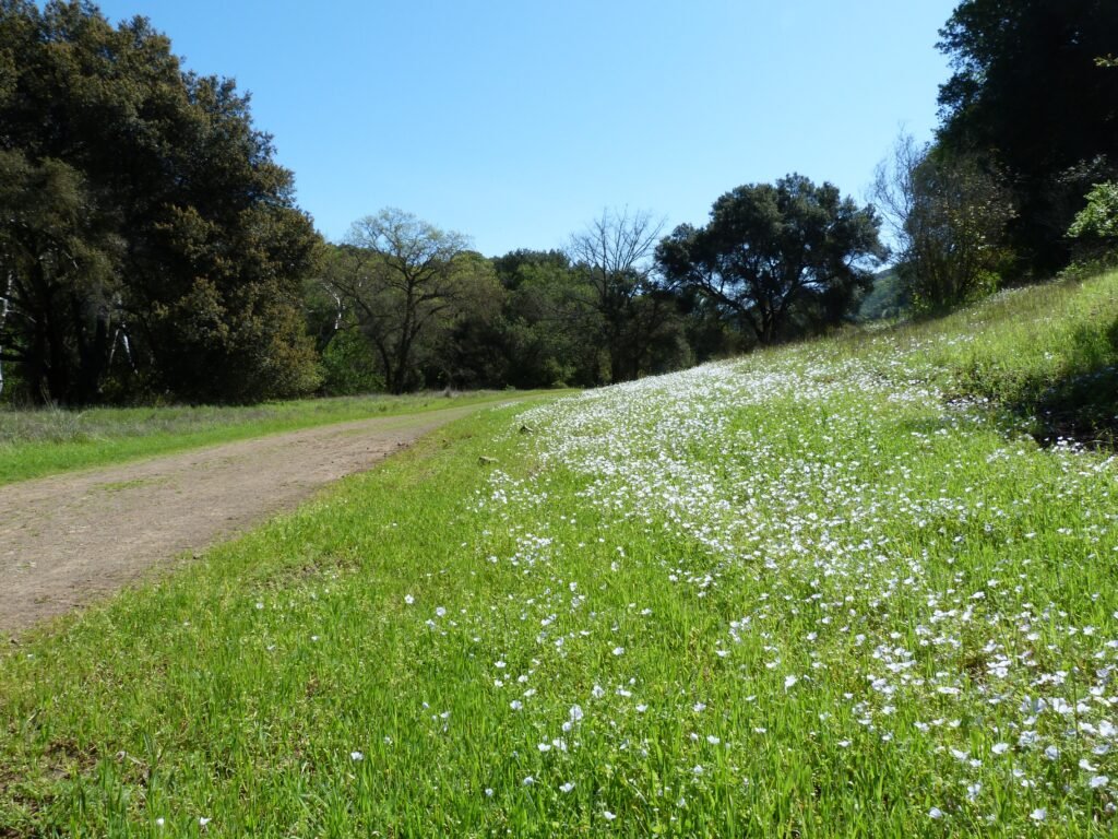
Turning right by Catamount trail, I started the easier descend back. The ponds by the trail were still full after the rains. The spring wildflower bloom promises to be an impressive one this year in bay area. And Catamount trail gave me glimpses of what it could be in full bloom as the trail made it way down. The trail was lines with greenery on either side much of the way. In addition, there were several spots laden with the state flower, California poppy.
Catamount trail intersects Longwall Canyon trail for the final mile to the trail head.

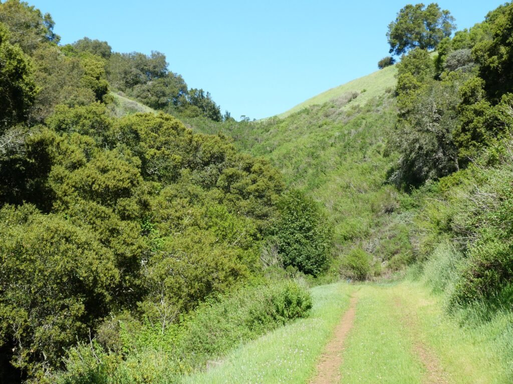

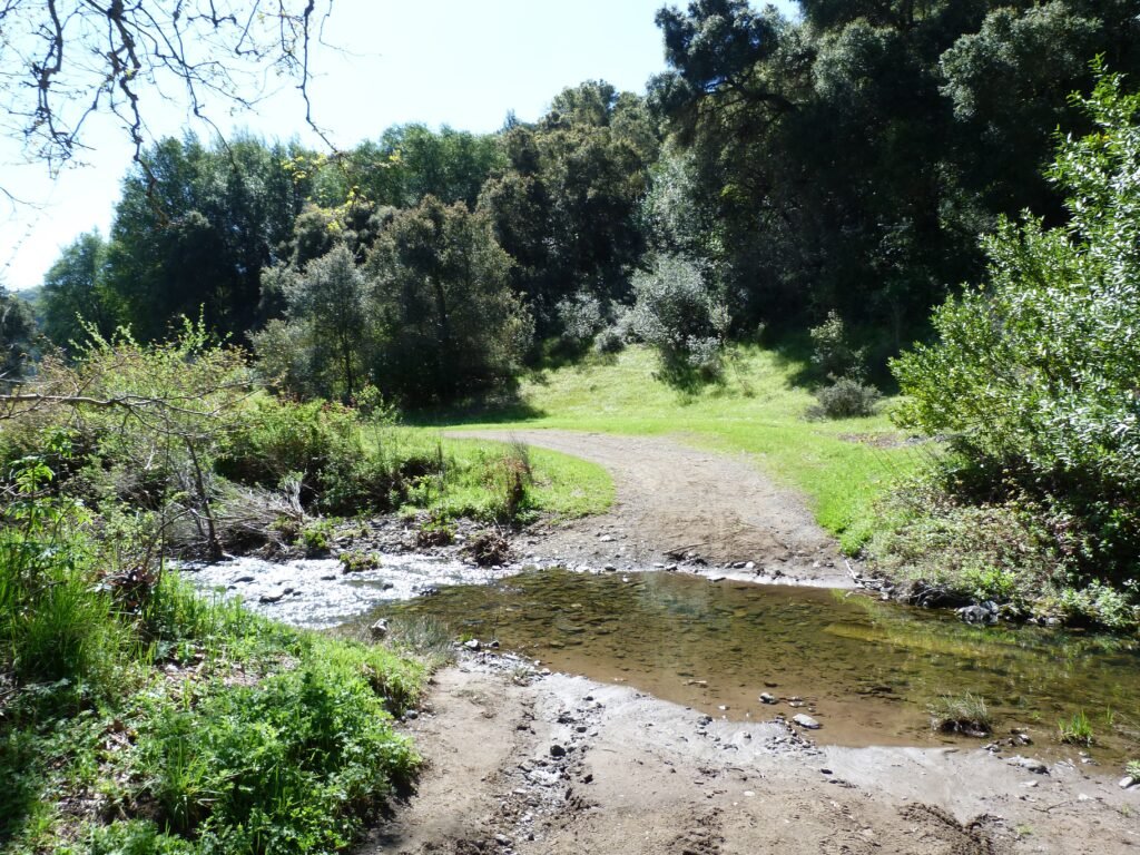
The final mile by Longwall Canyon actually goes into Calero park. The wide fire road runs parallel to Llagas creek again. And there is one more creek crossing, this time without the aid of a bridge. I realized that my ability to balance and walk across a creek on rocks was not as good as I thought it was – suffice it to say that I just ended up with wet shoes.
I wrapped up the hike at the Casa Loma Road trail heads into Calero Park. And reached the main parking lot of the Open Space Authority preserve that is right across from this point.
The 8 mile hike involved about 1700 feet elevation gain. You do have the option of doing the shorter loop – it would be little more than 4 miles over 1200 feet.
Here is the complete album of photographs from my Rancho Canada Del Oro Preserve hike.