Day 10: El Cerrito → Treasure Island
June 27, 2017
I started the day from Carlson Blvd with the additional mile walk to join the bay trail where I’d left off last evening. It was low tide this morning and the wet mudflats was a contrast to the water filled sloughs from before.
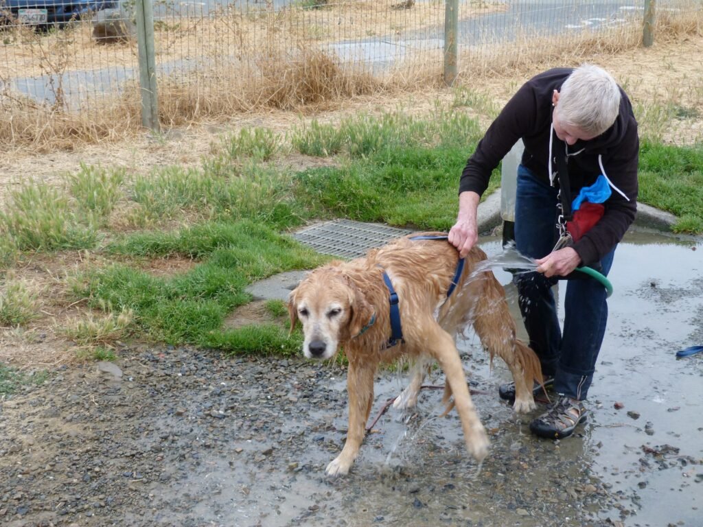
A mile into the trail, I was at Point Isabel Regional Shoreline. The place is very dog friendly with a dog wash to clean your pet after they’ve had a chance to wade through water and play rough! I do know that my dog, Apollo, wouldn’t be as patient as this Golden Retriever whose owner was ok with me clicking a photo of them!
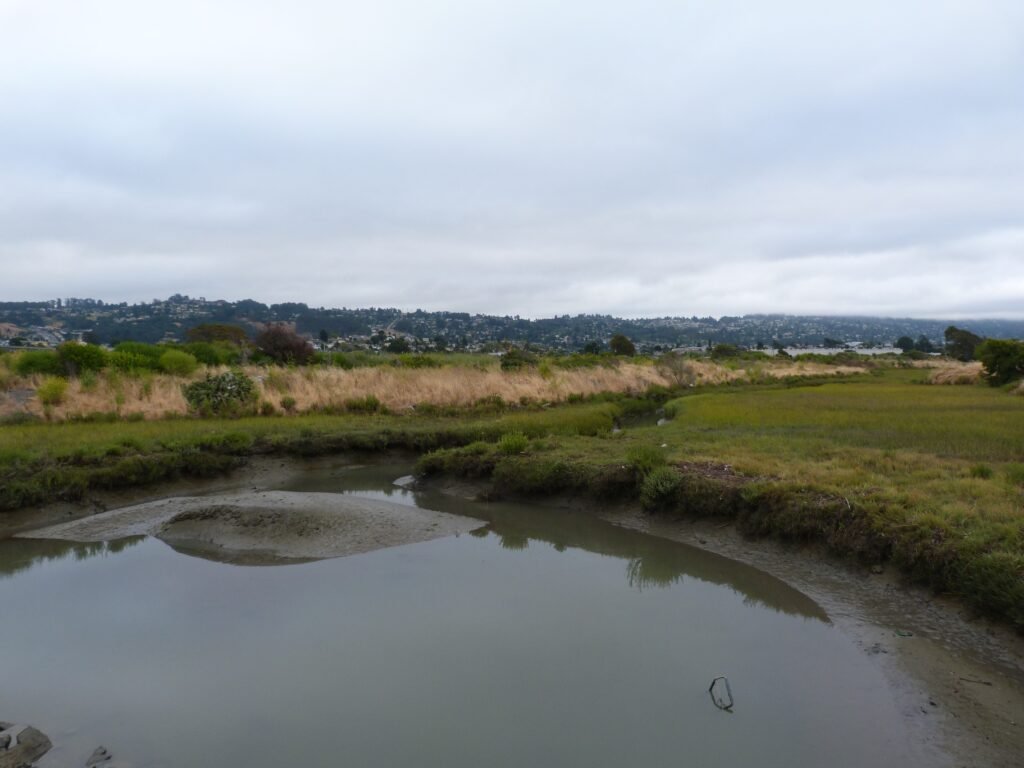

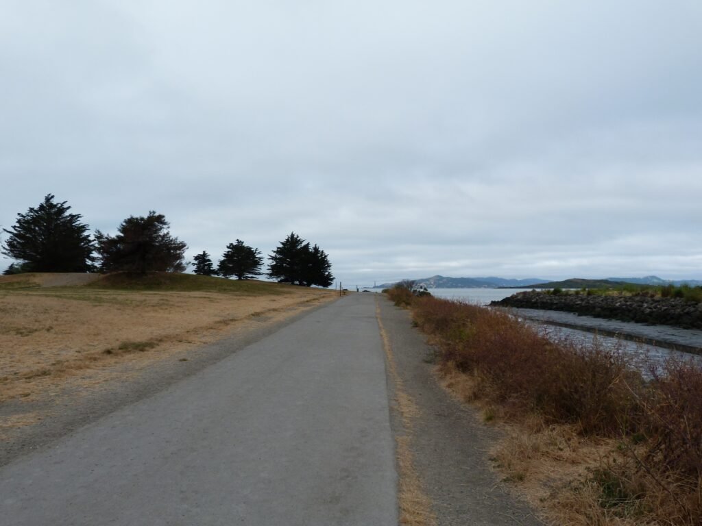
Hugging the waterline, the trail goes by Point Isabel and around a Costco warehouse before coming upon the section that runs parallel to Hwy 580. It was a cloudy start for the day. But that made it particularly interesting to see the sun’s rays fall in just a small section of Angel Island while rest of the place was in cloud cover.
The section by Hwy 580 had more trash than other places. I did see a tent pitched in by a homeless person in here. Here is an idea to cities and homeless people who are figuring out how to tackle this problem. One of the reasons people take offense to homeless encampments is the amount of trash that is invariably seen by them. How about running the slogan “Pitch a tent… Adopt a mile” and let the environment stay cleaner with buy in from both sides?

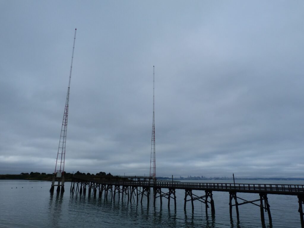
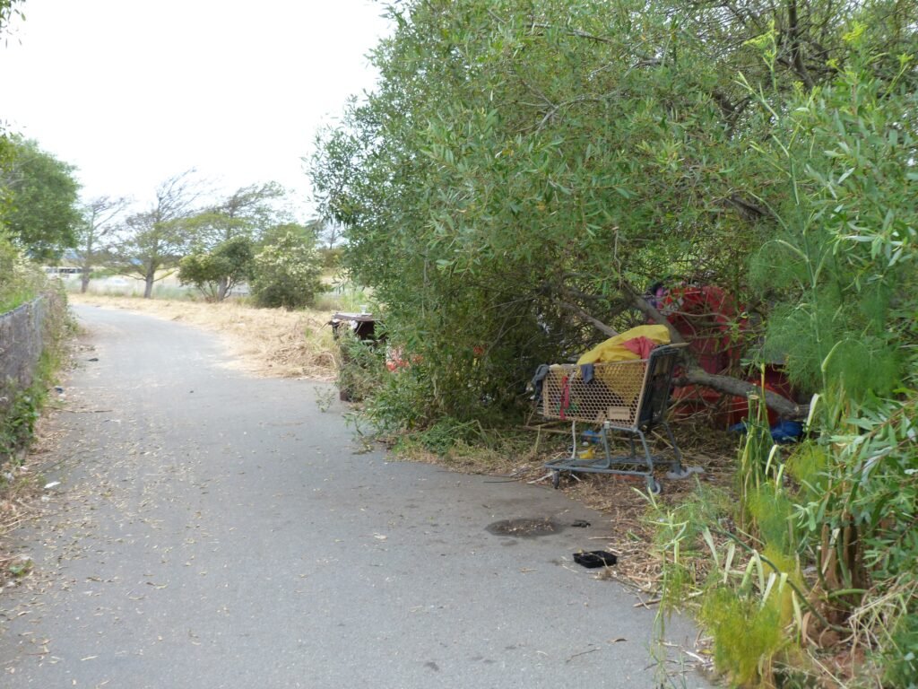
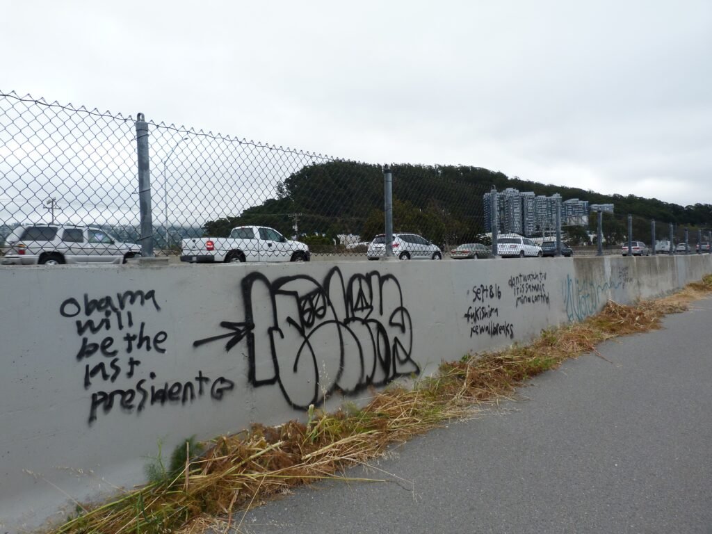

Albany Waterfront Trail is the next portion of the bay trail. This segment travels west from Hwy 580/Buchanan St. The rugged park is beautiful, with its mudflats, bay front, beach and dirt trail system that weaves in through environmentally sensitive spots. Some sections were sporting a colorful display of wildflowers, even though we were past spring and had our first heatwave of the 2017 summer.
My only regret was the extent to which graffiti had defaced the naturally beautiful coastline.
From the beach, where couple of dogs and their owners were having fun, the trail skirts the outsides of Golden Gate Fields, a horse racing venue towards Tom Bates Sports Complex. The trail is not well defined and somewhat non-descriptive, but it is easy to stay on track by walking right by the waterfront.
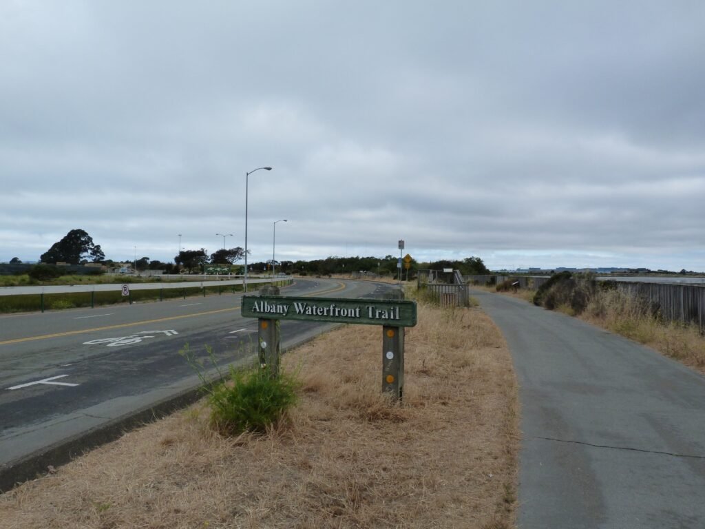

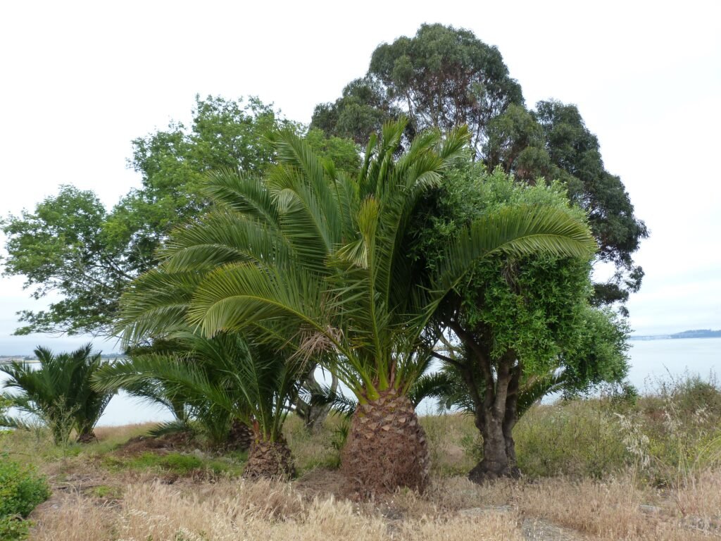

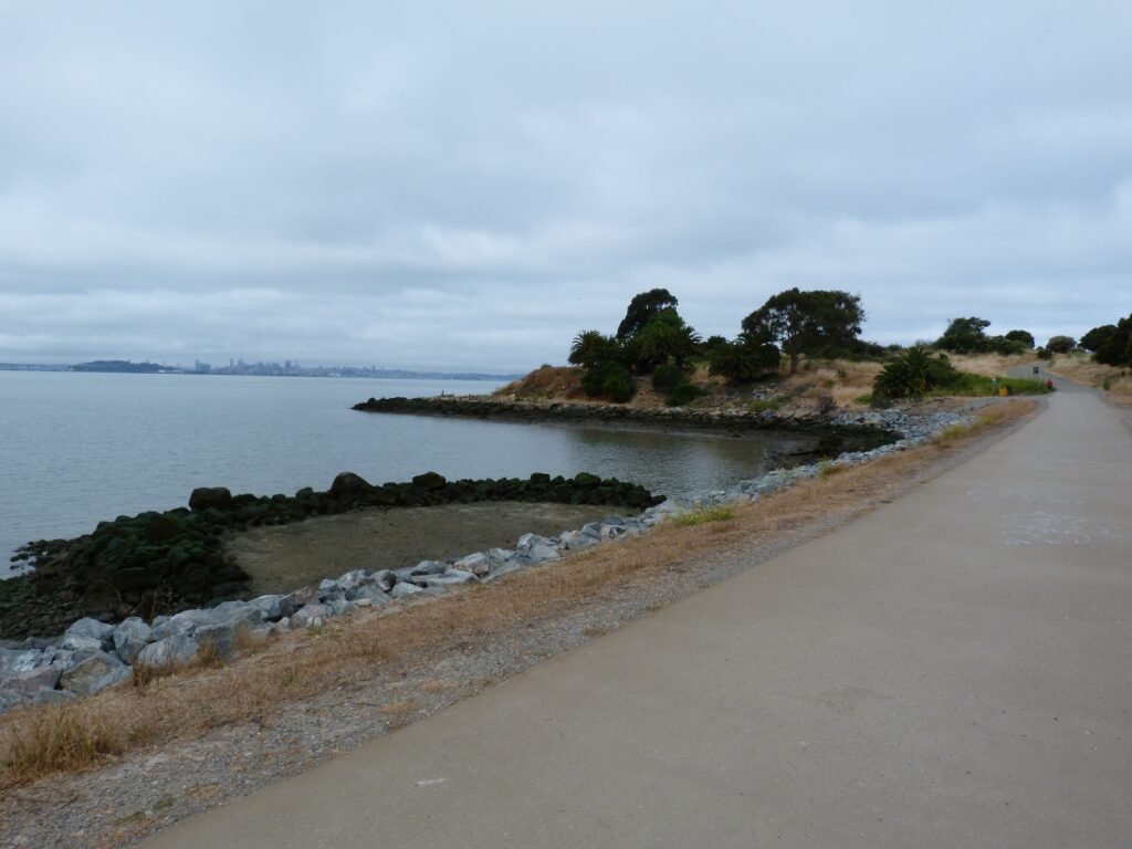
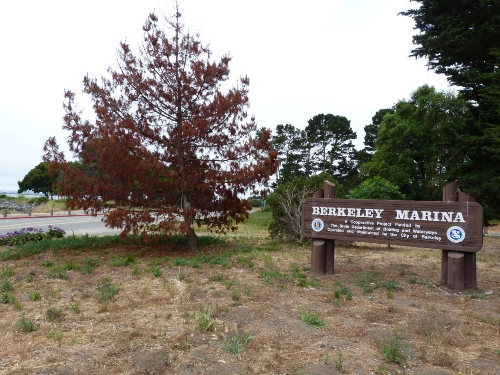
Skirting the sports complex, the trail turns westward by McLaughlin Eastshore State Park. There are three areas tucked away in this segment that could easily add 5 miles to the walk. In addition to the McLaughlin Park, there is the Cesar Chavez Memorial Park, Berkeley Marina and Berkeley Point.
The rectangular Cesar Chavez park is one of the most dog friendly locations, with clearly defined off leash and on leash areas. I had walked portions of it by the bay and portions inside the wide open spaces inside it.
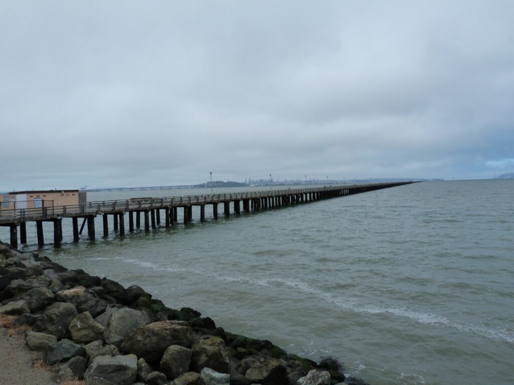
The trail emerges out to Berkeley Yacht Harbor and the Marina, another square block around a waterfront identical to the Richmond marina & harbor. By Berkeley Point is the pier, which when originally constructed, went 3.5 miles into the sea. 3.5 miles! Today, more than 3000 feet is still intact and usable although it is blocked off for public access.
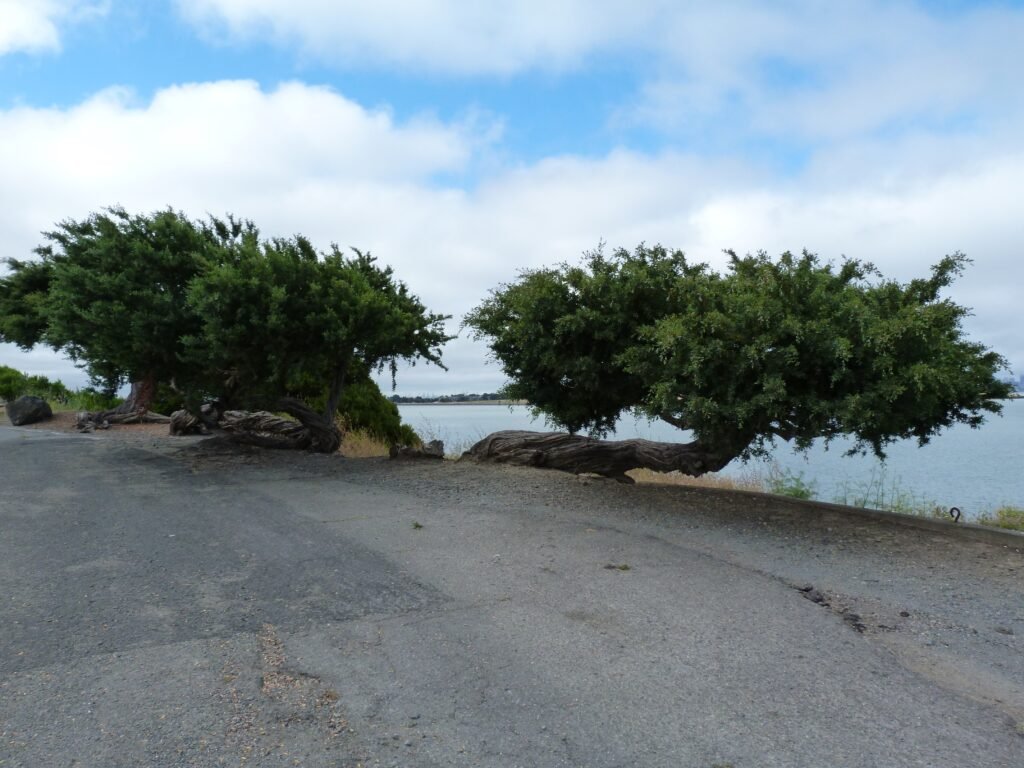
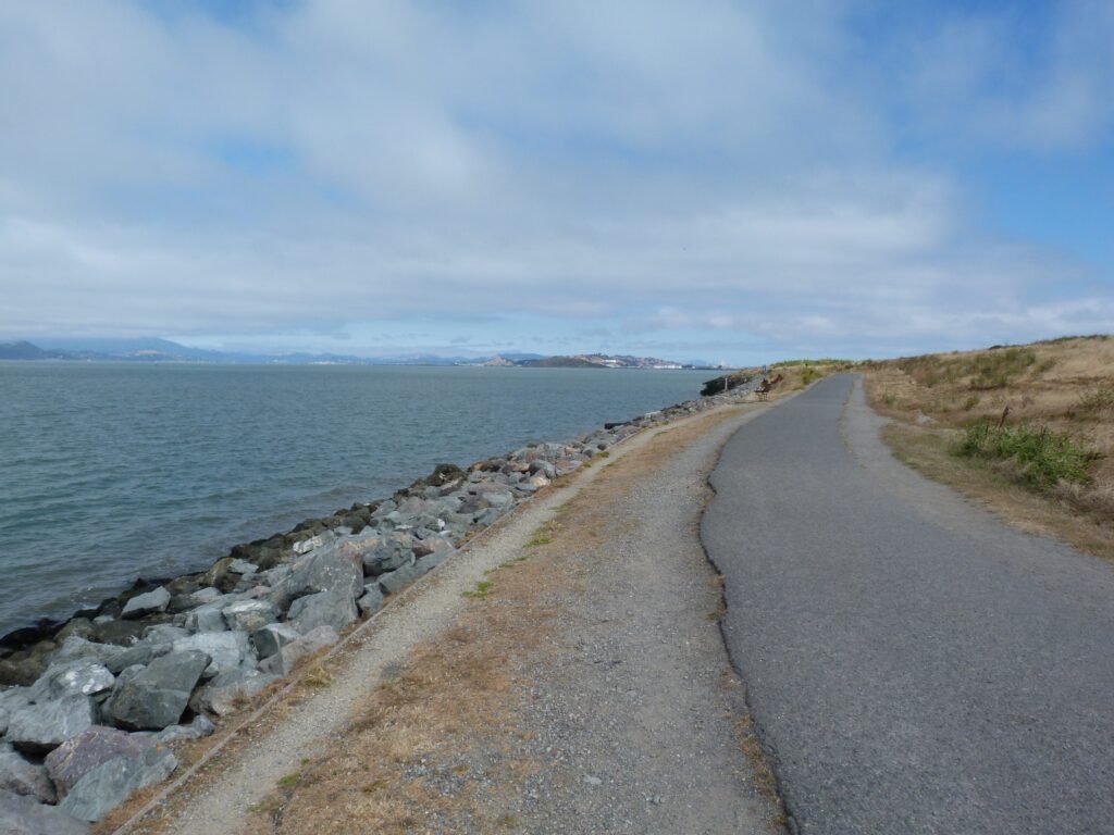
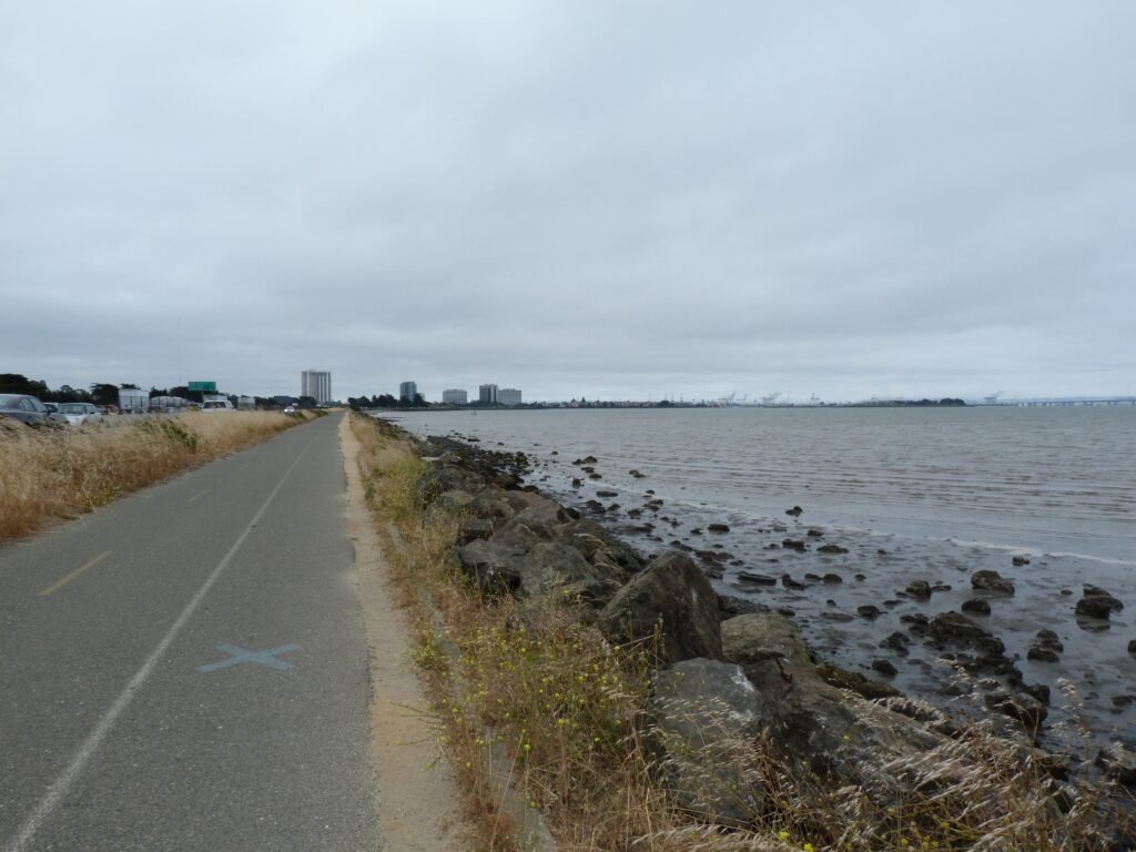
Back by the frontage road running parallel to Hwy 80/Hwy 580, the trail heads south towards Emeryville Marina on Powell St. The section is an improvement over similar stretches I’d walked earlier in the day in terms of cleanliness. And Snoopy the dog somehow found his way into the mudflats, sitting atop an 8′ home!
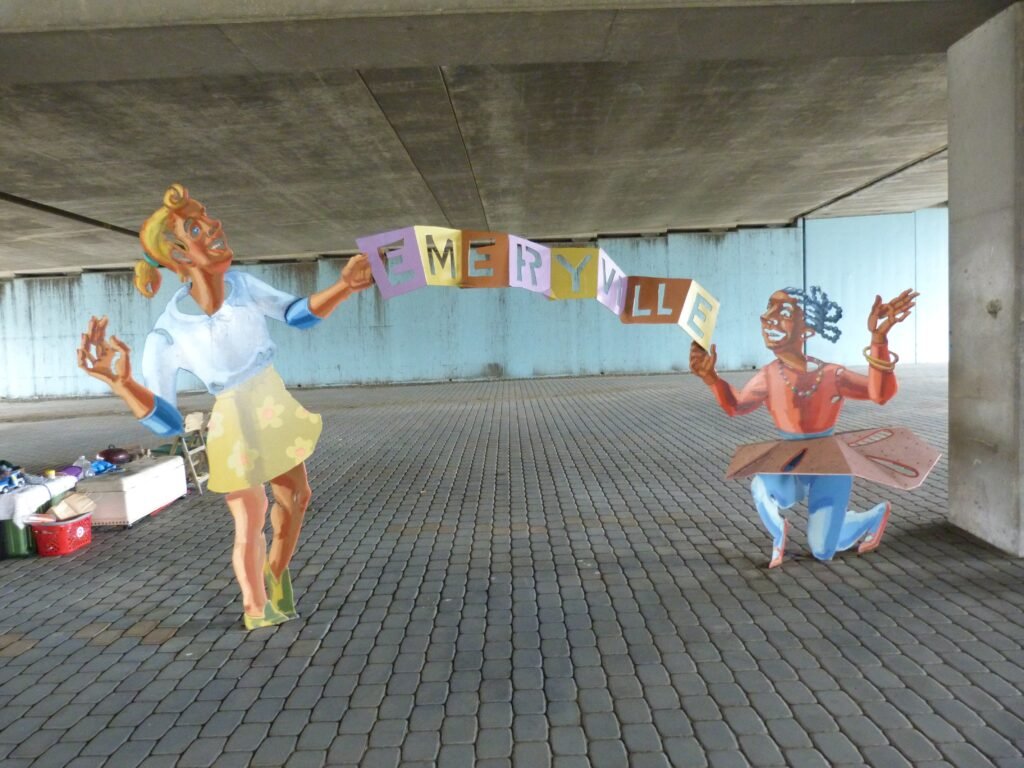
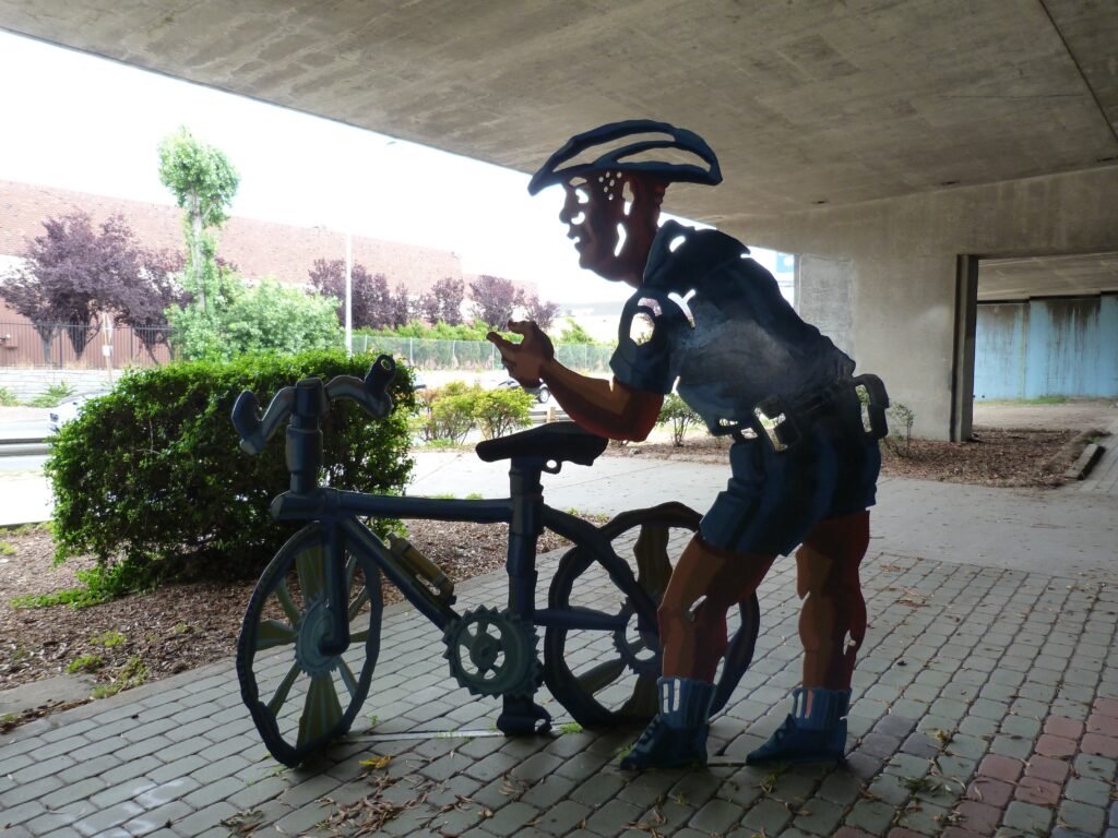
I decided to skip the Emeryville Marina, having just done two similar sections. And decided to head towards the Bay Bridge trail entrance on Shellmound Rd. The underpass on Hwy 80 had interesting metal structures of humans, dogs & bikers welcoming pedestrians to Emeryville.

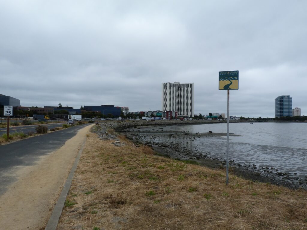
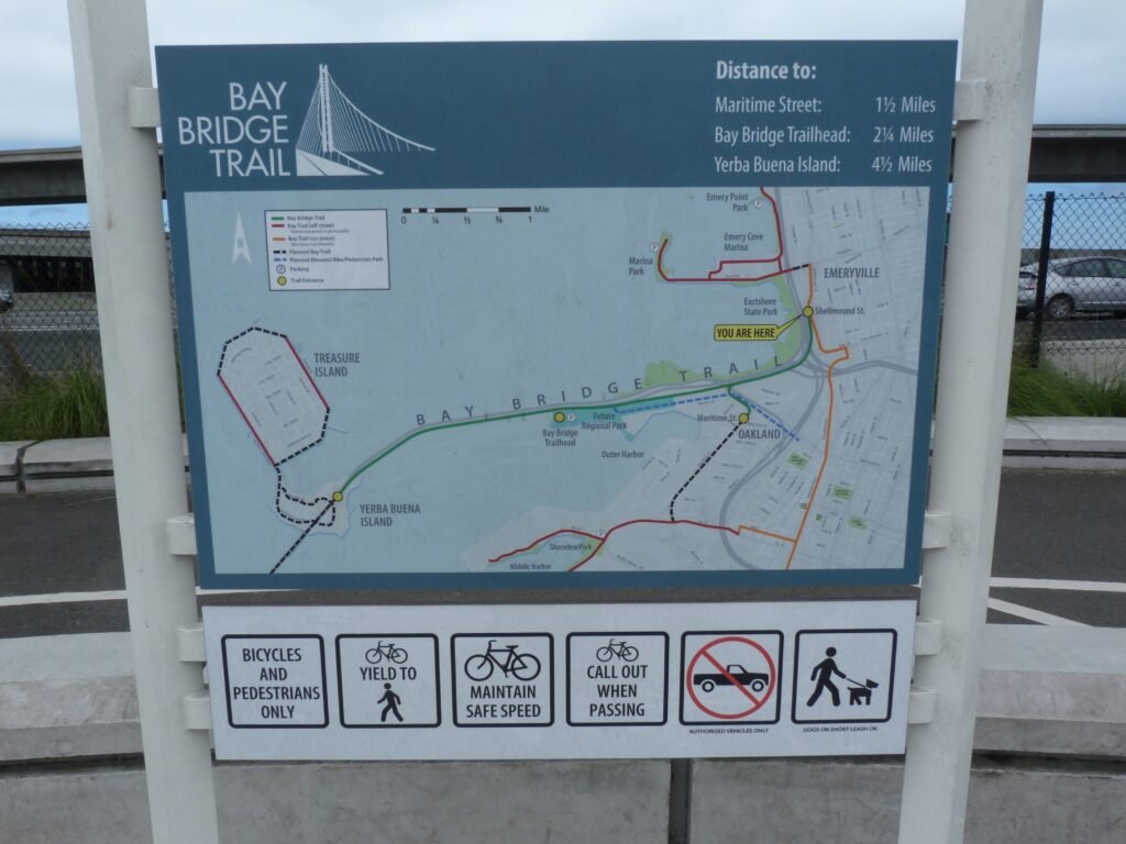
The entrance to the Bay Bridge Trail is right opposite IKEA on Shellmound St. The entry point is well directed and hard to miss. Given that it would be a ~10 mile out and back trip to Yerba Buena Island (YBI), you will find more bikers and fewer pedestrians here.
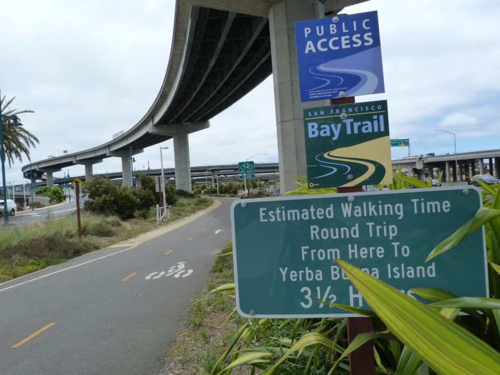
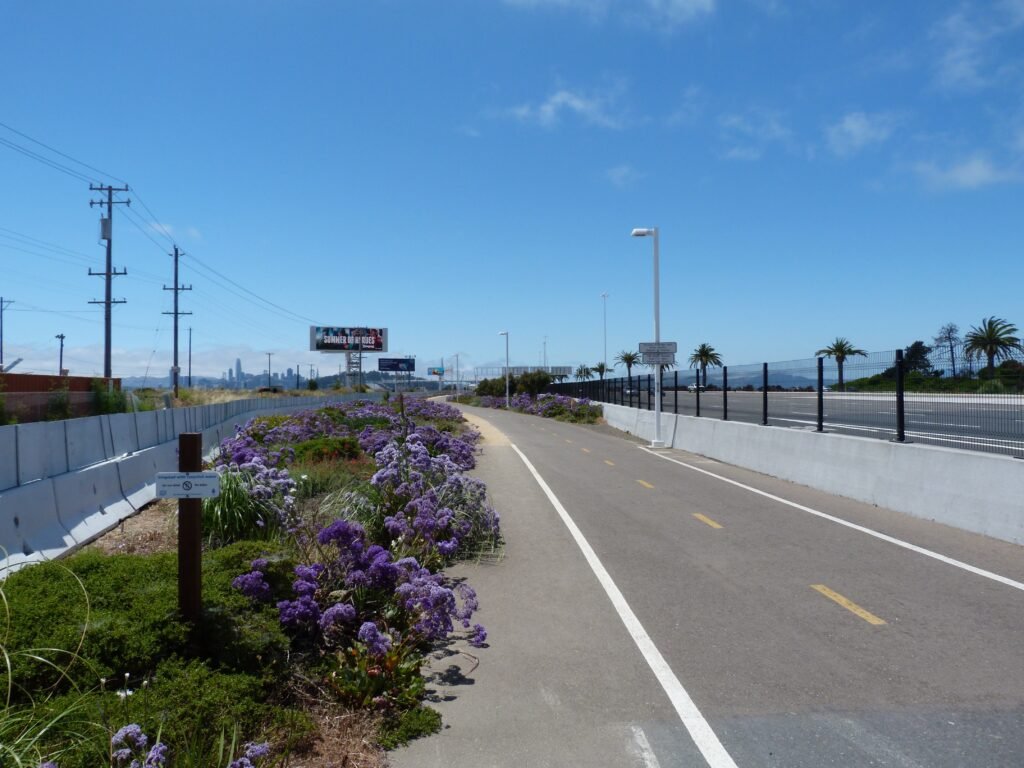
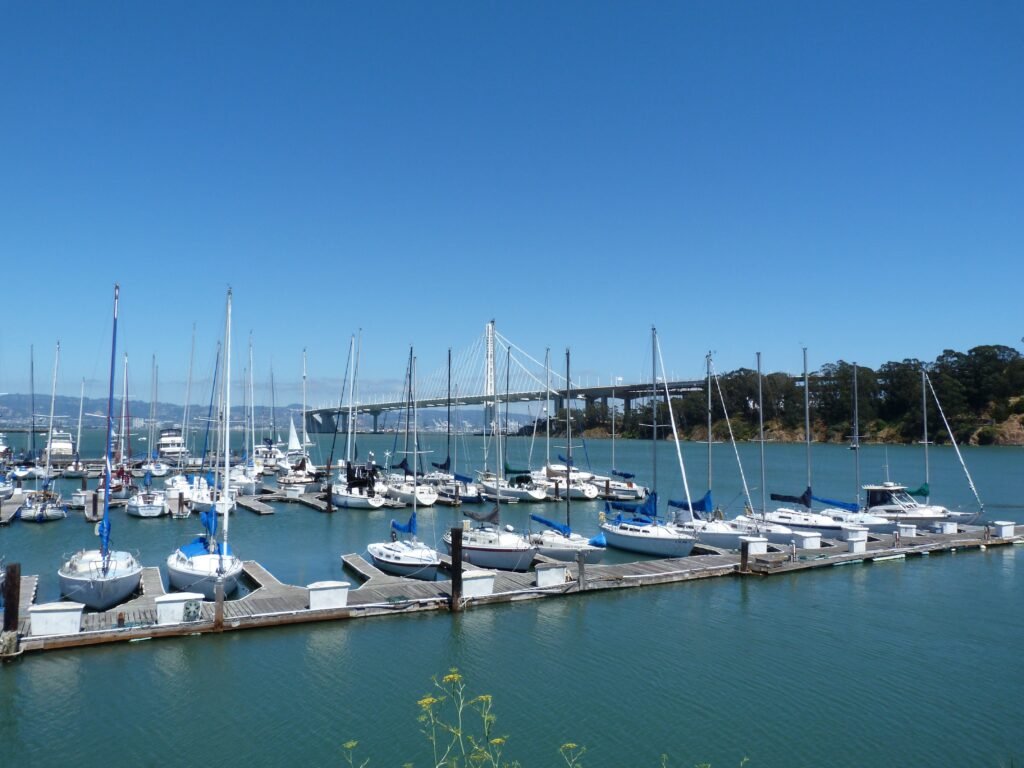
It is a 2 mile walk to reach the beginning of the actual bridge from here. The path goes by some commercial complexes, water treatment plant, Oakland Harbor and the 2nd entrance to Bay Bridge Trail from Burma Rd as well as through a maze of freeways before reaching the bridge. Still, this two mile stretch is flanked by native plants in bloom making it a fairly pleasant walk.


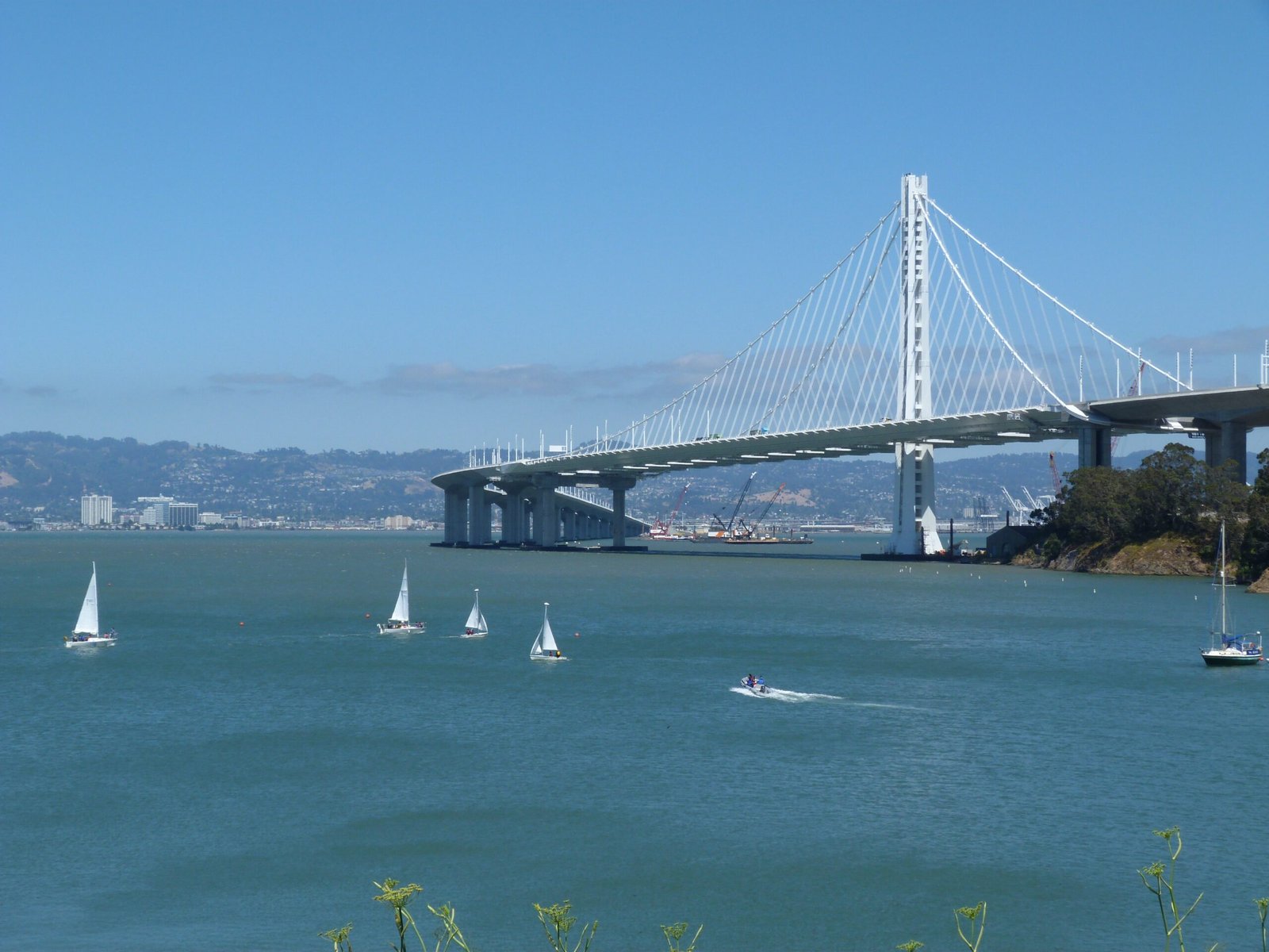
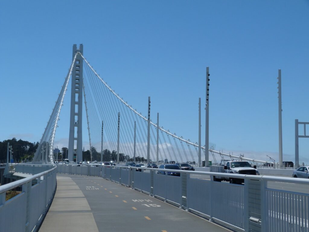
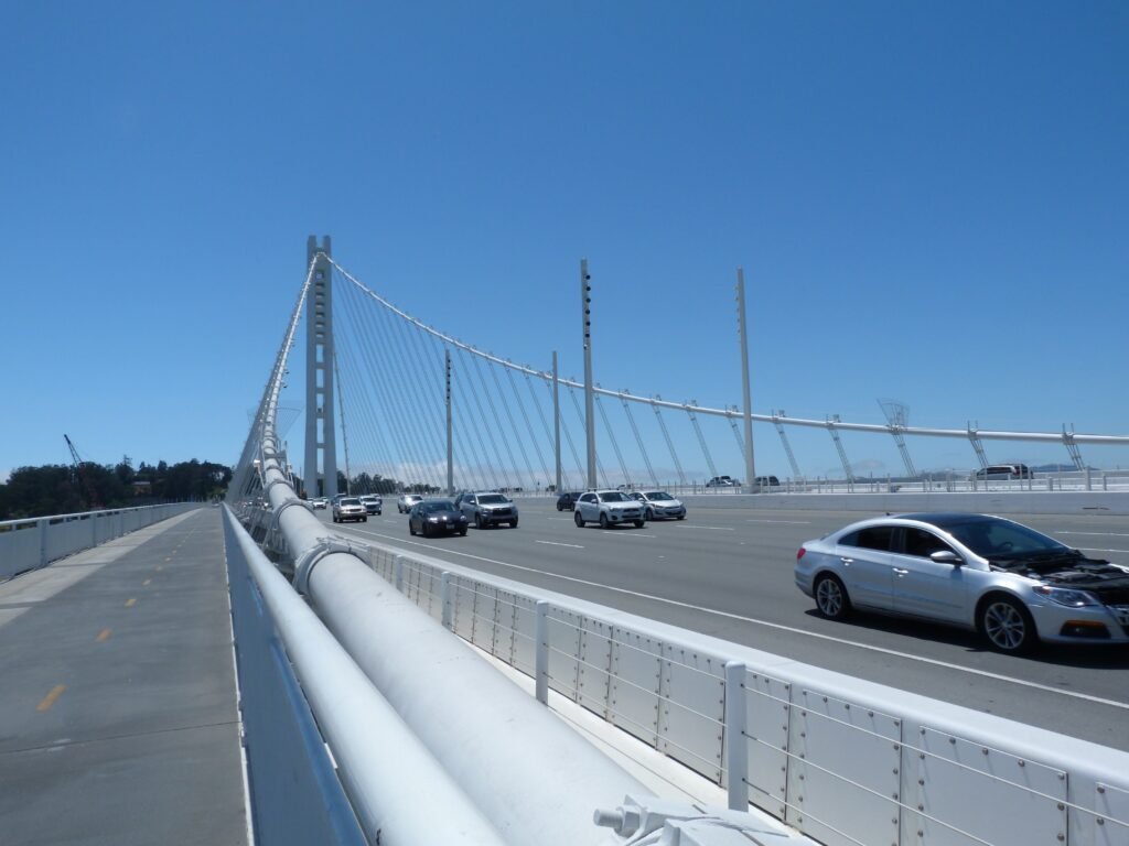
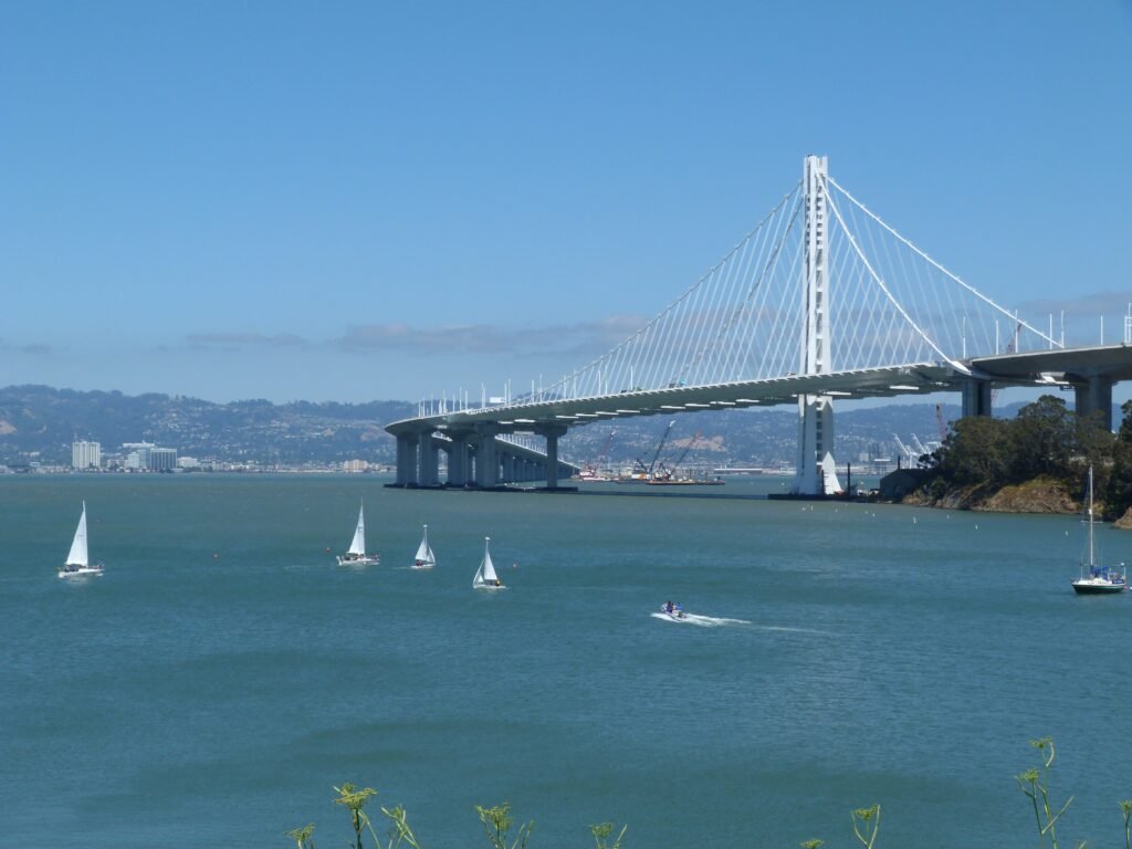
Once on the bridge itself, the walk is absolutely amazing. The trail is very new, with the railings and columns in white against the back drop of the bay. And as you go up, your view of the SF skyline, Oakland harbor and YBI will keep you enthralled.
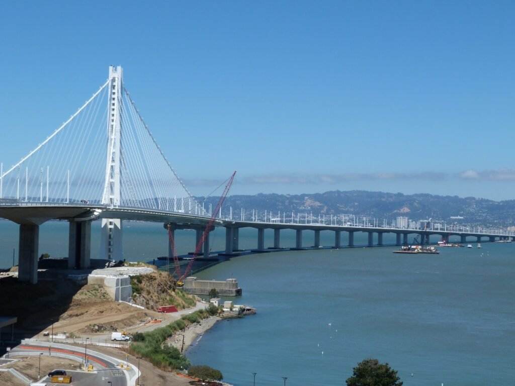
The old eastern span was still being demolished and heavy machinery was there going through the process. I had a chance to speak to a CalTrans engineer. If the construction of the new east span is an engineering marvel, the eco friendly demolition of the old span is equally impressive. If all goes on schedule, there will be no remnants of the old east span in 2018.
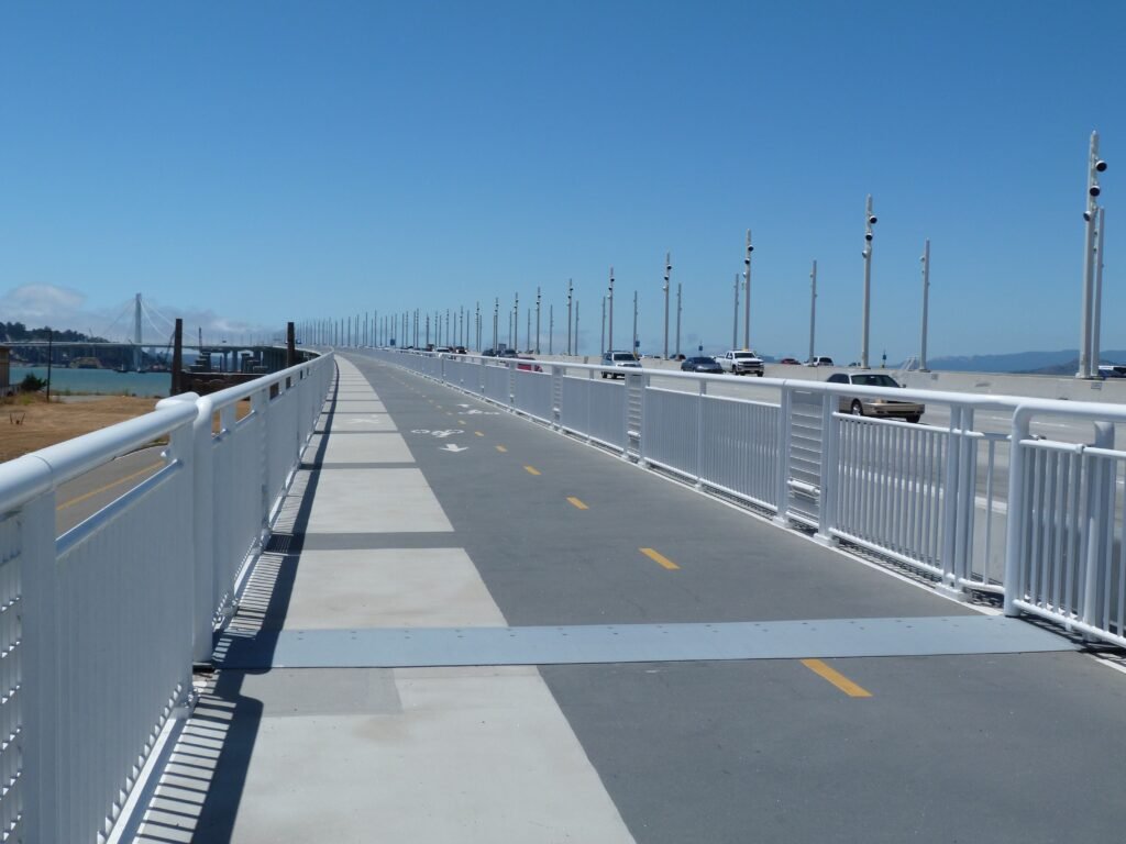

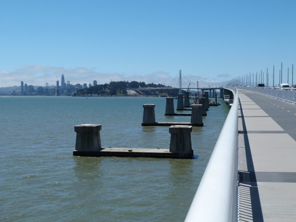

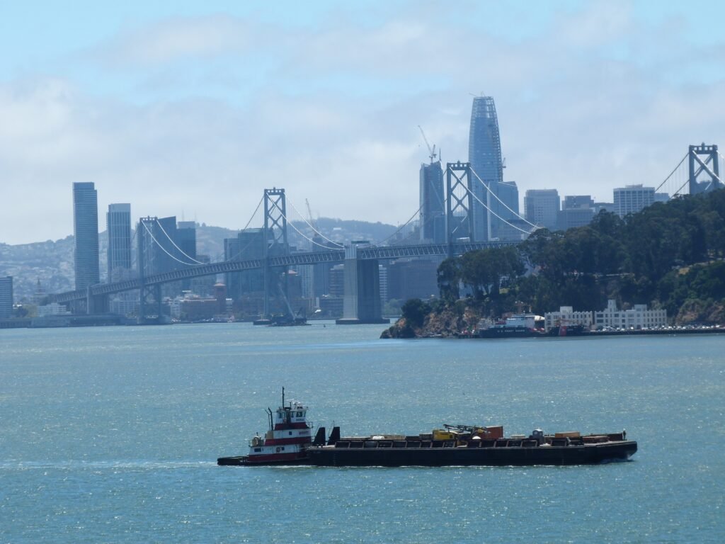
As you reach the top of the bridge, you will appreciate the magnitude of this engineering marvel that this self-anchored suspension bridge is. It holds several records – the widest bridge in the world, most expensive public works project in California at $6.4 billion and more.
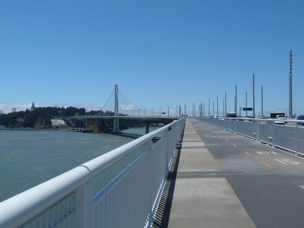
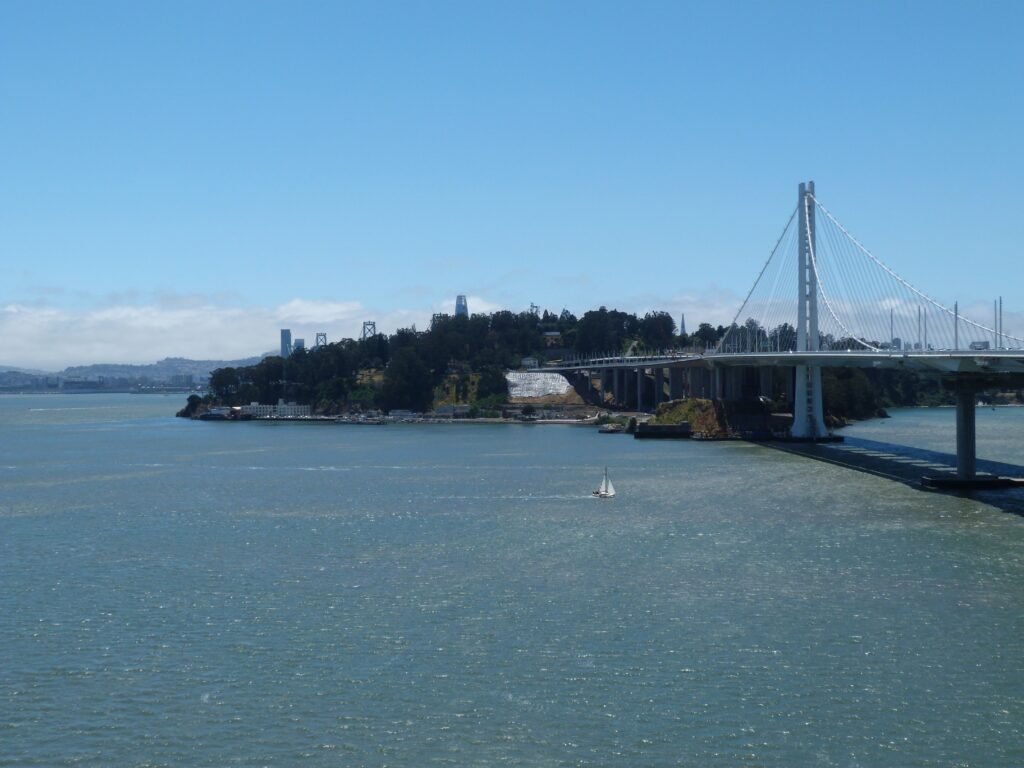
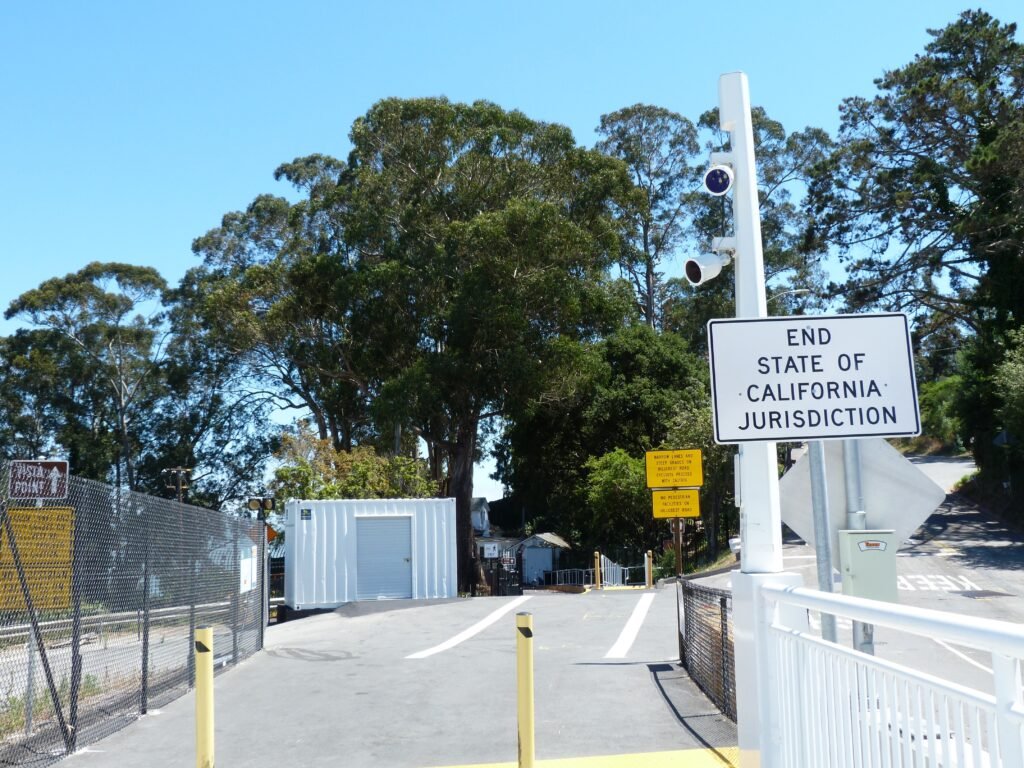
The trail ends at YBI with an interesting sign: End State of California Jurisdiction. I guess it is because some (all?) portions of YBI belongs to the Federal Govt. / U.S. Coast Guard.
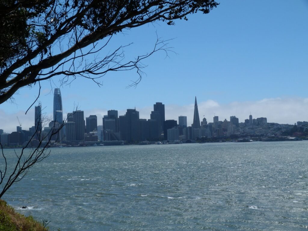
I continued walking by the narrow Hillcrest Rd and subsequently by the Treasure Island Rd to make my way into Treasure Island. This stretch is not very pedestrian friendly. But you certainly get some impressive views of the western span of the Bay Bridge and SF skyline as you walk this road.
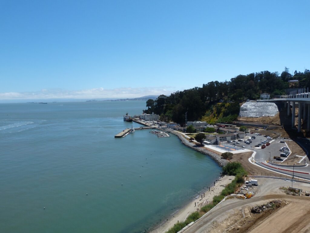

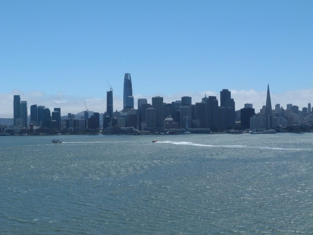
Treasure Island is an artificial island constructed in 1939 and is home to a U.S. Naval Station. It is known for the Avenue of Palms, fine 360 views of the bay and more.
Reaching Treasure Island marked the end of the second phase of my three day SF Bay Trail walk. With the 60 miles in phase 2, I have covered ~215 miles of the bay trail in 6 counties over 10 days. That only leaves the portions of the trail in Napa, Sonoma & Solano counties around San Pablo Bay to be covered.
The best way to head back to the City is to hop onto Muni Bus #25 that will drop you at the Transbay Terminal in San Francisco.
Key Stats from day 10
- Distance covered: 20 miles (phase 2 map)
- Elapsed time: 8 hours and 10 minutes, including breaks
- Breaks: about 40 minutes
- Cities: El Cerrito, Richmond, Albany, Berkeley, Emeryville, San Francisco
- Dog friendly segments: the entire stretch
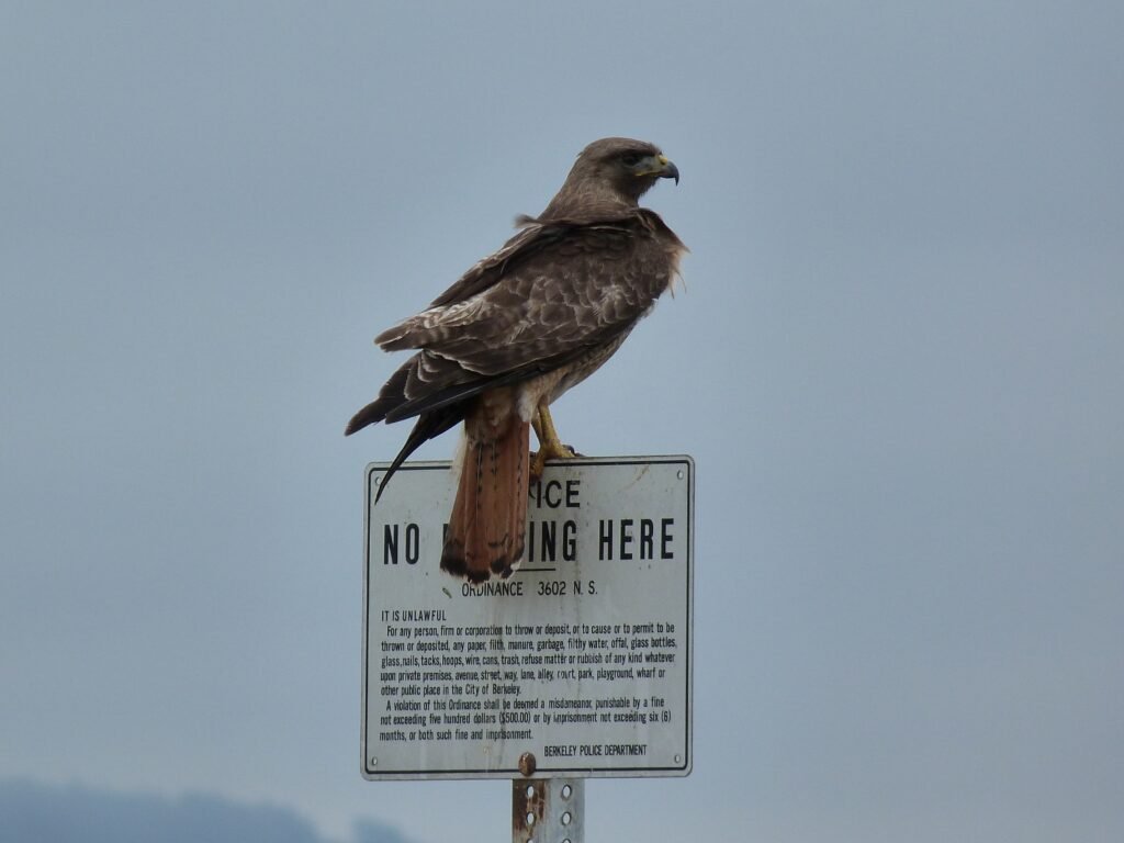
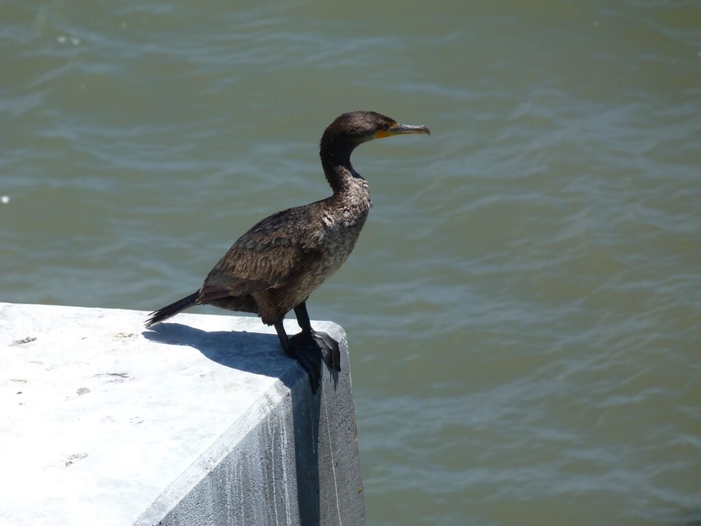
- Birds observed: Red-tailed Hawk, Double Crested Cormorant, Canada Geese
Cumulative Stats, day 8 – day 10
- Covered 60 miles
- In 3 days, an average of 20 miles per day
- Across 4 counties – San Francisco, Marin, Contra Costa and Alameda
- Walking on an average 7 hours 15 minutes each day
Here is the map of the entire ~215miles of bay trail I have covered in phase 1 & 2, including the two solo loops in Bay Farm Island and Newark Slough.
Here is the complete album of photographs from Day 10.