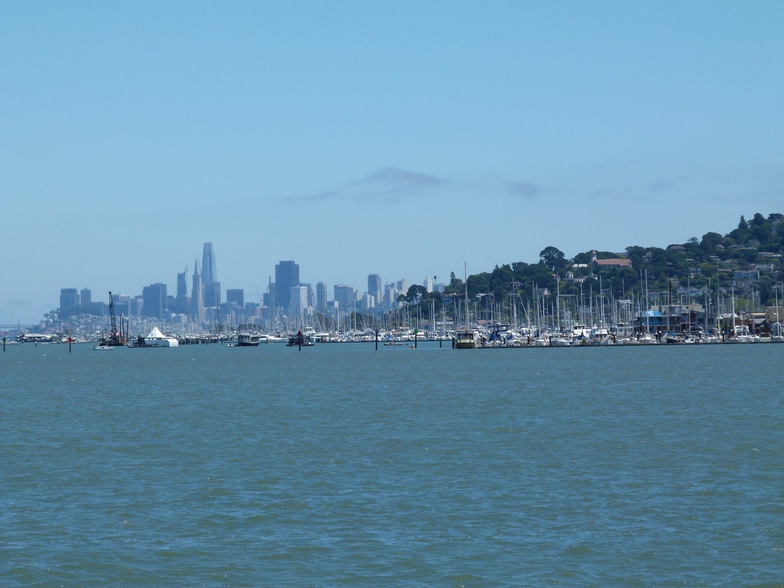
Day 8: San Francisco → Tiburon
June 25, 2017
The opening of the east span of the Bay Bridge was ample reason to don the shoes and hit the bay trail again. I had already covered ~150 miles of bay trails in south bay in phase 1 of this walk in 2015. I mapped out a 3 day, 60 mile trip from Golden Gate to Treasure Island covering the northern portion for phase 2. Here is the map of the entire ~215 miles of bay trails in both these phases, including the two solo trips around Bay Farm Island & Newark Slough.
Having made my way through busy San Francisco streets preparing for the pride parade, I started my walk at the Golden Gate Welcome Center on a foggy classic summer morning in the City.
The chill and damp morning did not deter foot and bike traffic across the ever popular Golden Gate Bridge (GGB) celebrating its 80th anniversary. I had planned a walk across the bridge, through Sausalito, Mill Valley into Tiburon. Crossing over, the underpass from the vista point would lead you to the bike path to Sausalito.
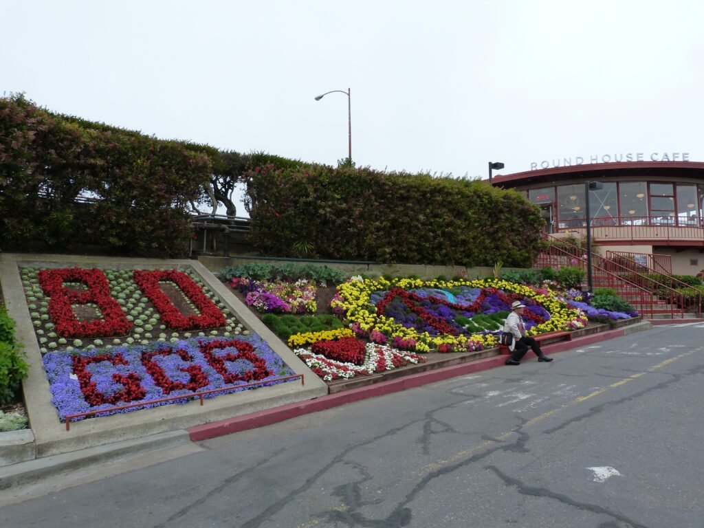
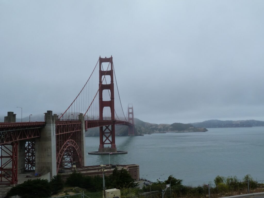
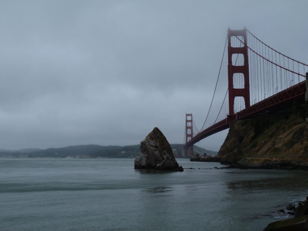
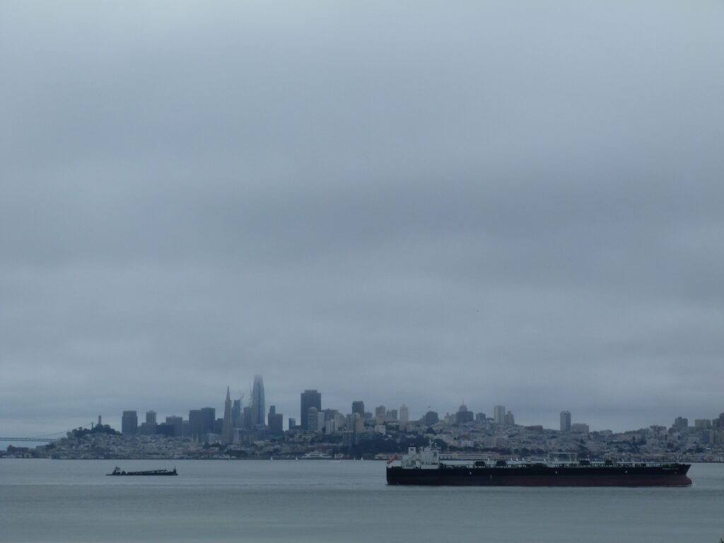
The road descends easily as it takes you under the GGB and across to Fort Baker. There are couple of outstanding views of the needles rock under the bridge that you can see at eye level in this stretch. Passing by the horseshoe bay, I connected to East Road with the bay on the right for the next two miles to enter Sausalito town.
The next two miles is a charming walk by the beautiful Sausalito town. The walk by Bridgeway goes by the town’s shopping and eating attractions, ferry terminal and providing some fine views of Angel Island.
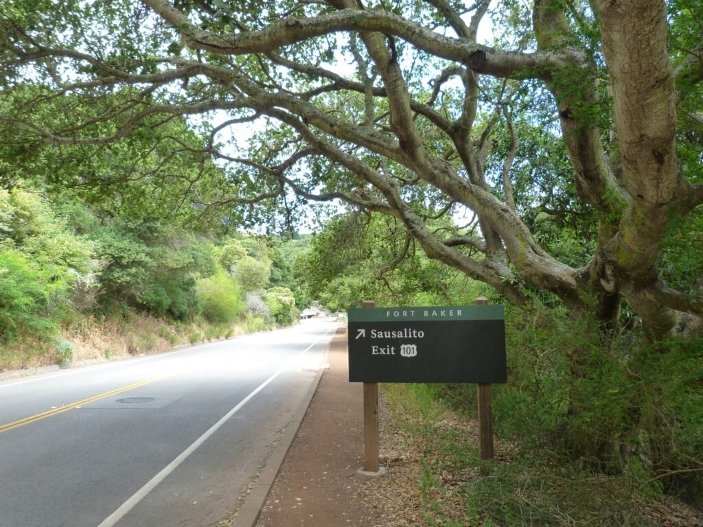
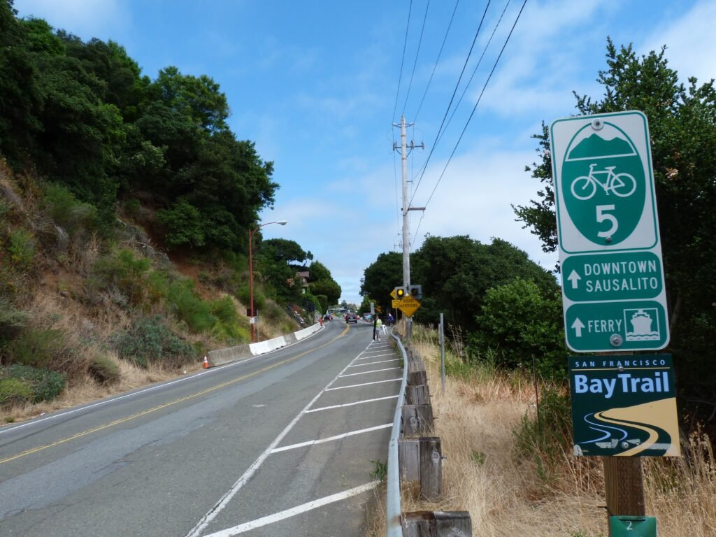
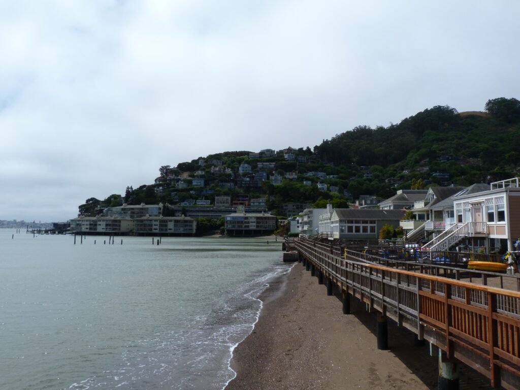
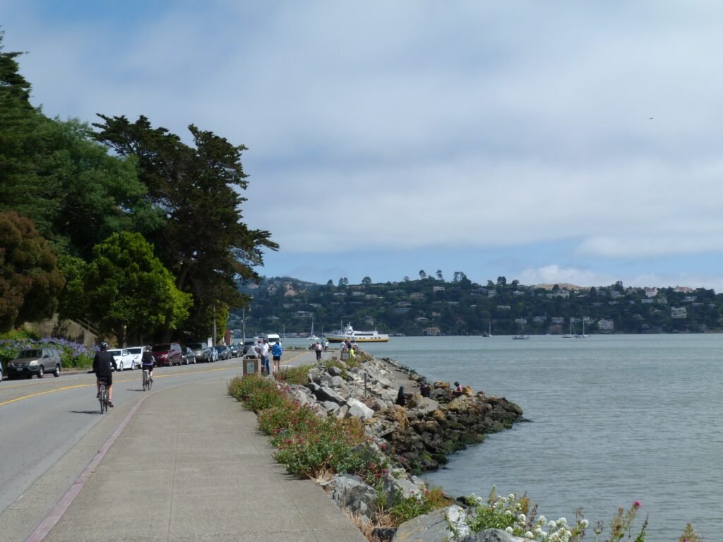
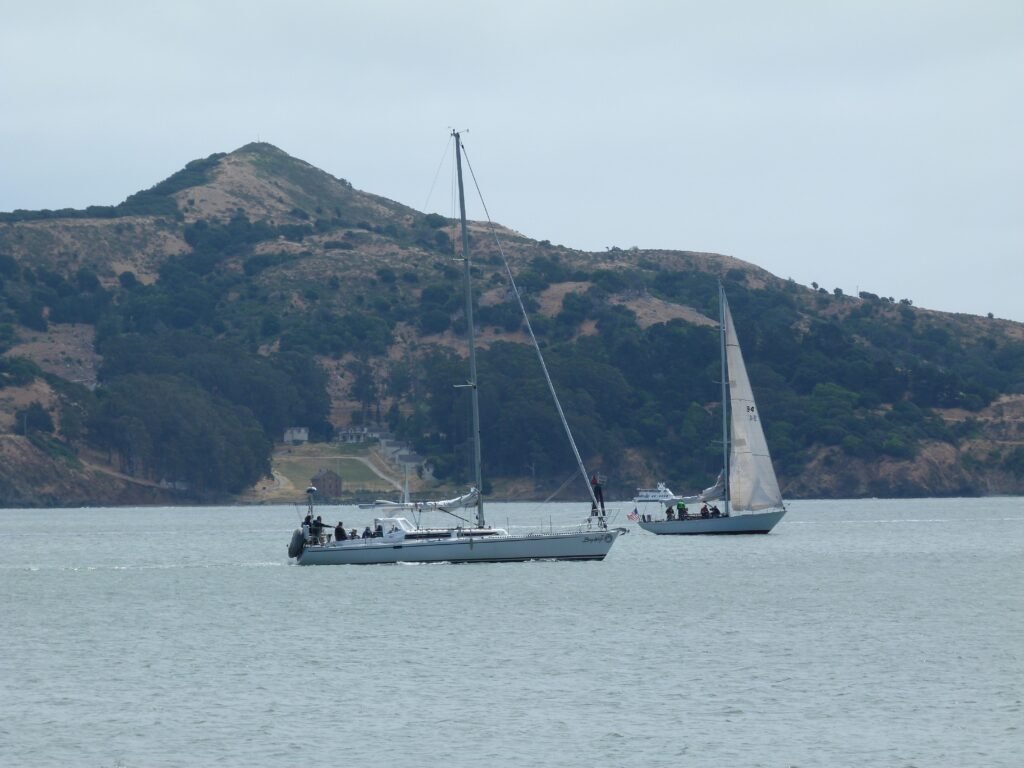
Bridgeway ends right at the entry to Hwy 101, where the Mill Valley – Sausalito trail starts.
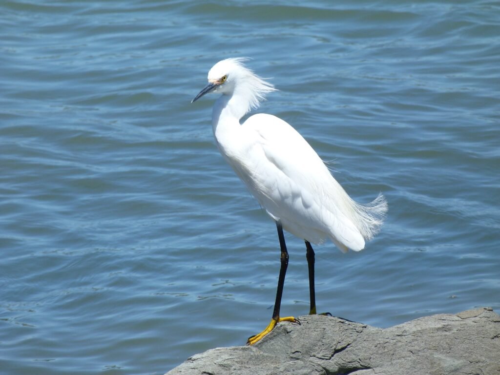
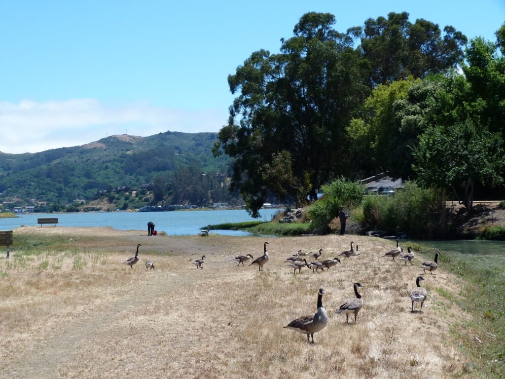
Mill Valley – Sausalito is a paved bike path that runs parallel to Hwy 101 for a while, crosses it by an underpass before emerging at the Bothin Marsh Preserve by Richardson Bay. The walk by the marsh will take you away from the urban and busy stretch before. And I would bet that you will definitely see some shorebirds here – I got to see a beautiful snowy egret and some Canada geese in this stretch.
Do pause a moment to observe the effects of Sea Level Rise and its impact on Marin County. A stark reminder of the dangerous world we live in where a significant portion of the population are indifferent to, or worse, in denial of the effects of climate change in our home planet.
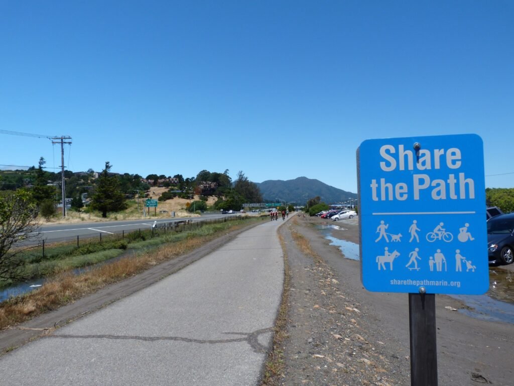

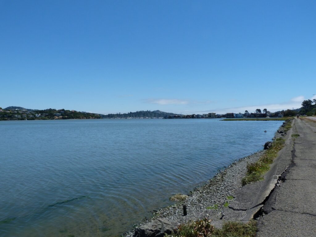

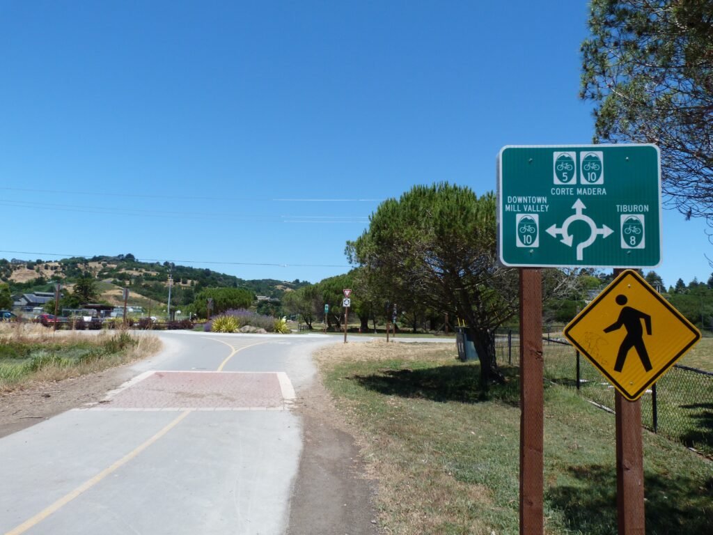
Marin County is very bike friendly with named bike routes and clear directions. You will come up on a busy junction right after Bayfront park dog run. Following directions to Tiburon, I turned right and around the Pickleweed Inlet water front.
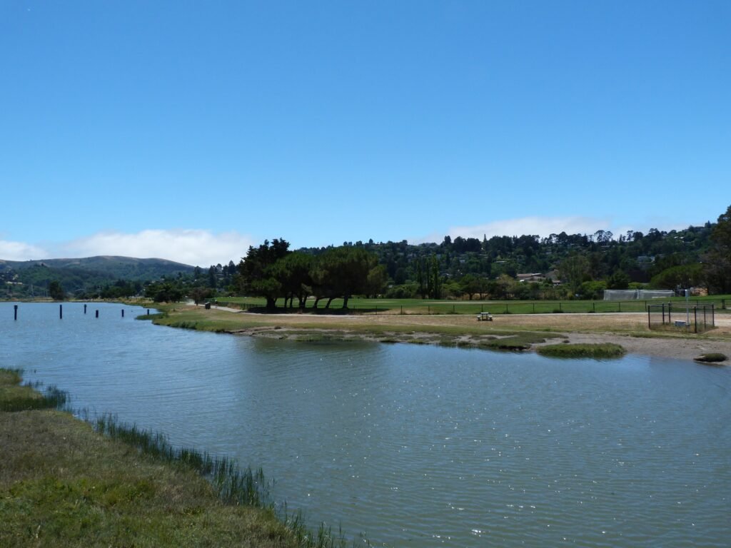
Following a lunch break with the soothing sights of Pickleweed Inlet, I continued by Hamilton Dr, passing by Ferrari of San Francisco and crossed over Hwy 101, this time by an overpass to join Seminary Dr. Somewhat dry initially, Seminary Dr quickly develops character as it winds through scenic sections heading southeast offering excellent views of several sections I had covered earlier in the day.


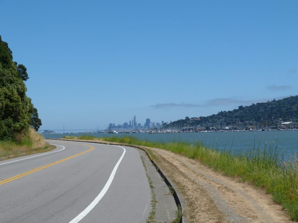
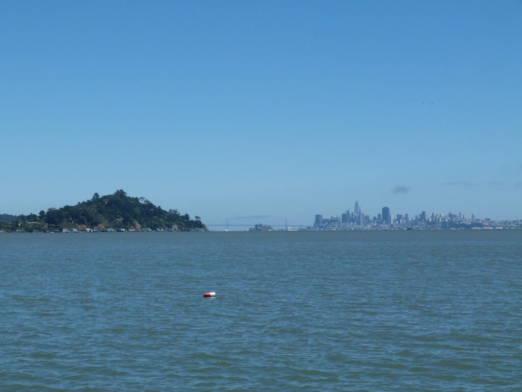
Continuing by Strawberry Dr, I walked past USTA and several homes tucked away with exclusive views of Aramburu Island. I had to step into a home’s driveway to capture a photo of this island. On Harbor Cove Way, keep an eye out for dirt trail entrance to the section that goes right by the waterfront. The trail soon connects to Greenwood Cove Dr and reaches the tip of the Tiburon peninsula at Blackie’s Pasture.

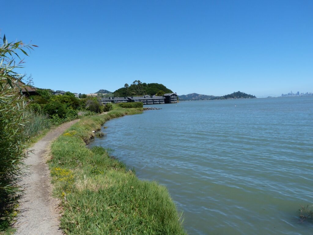

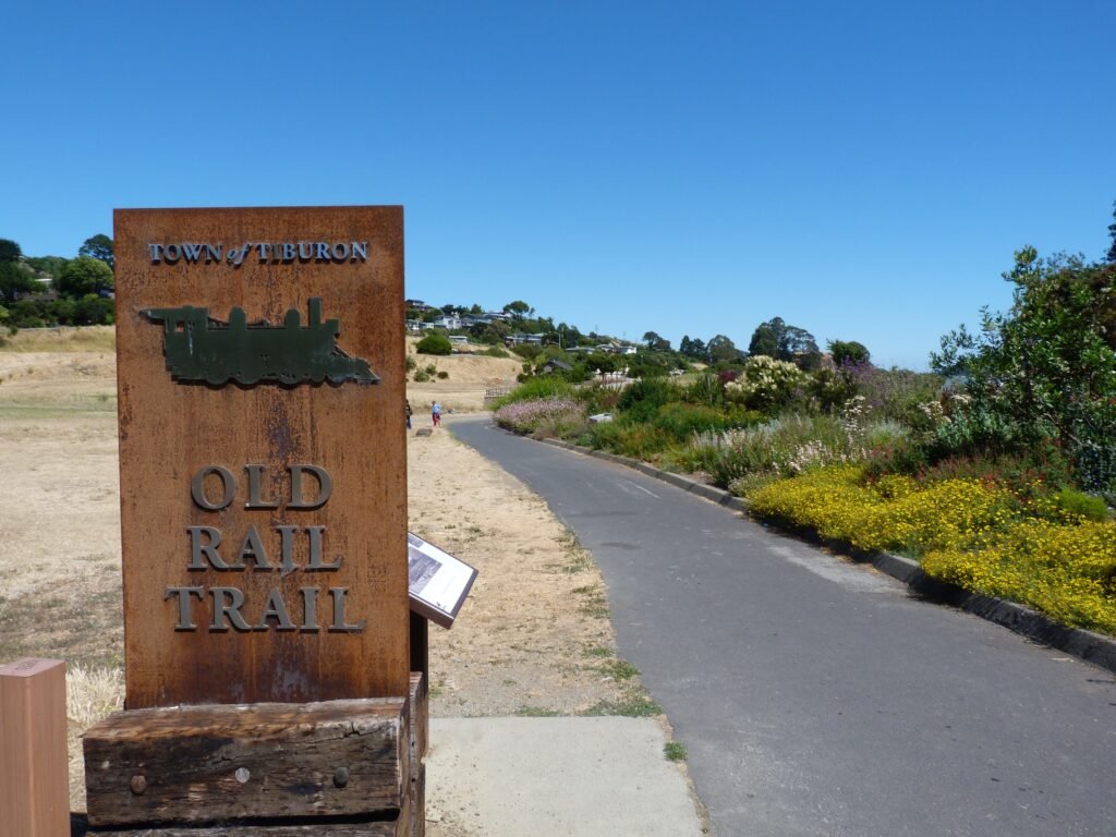
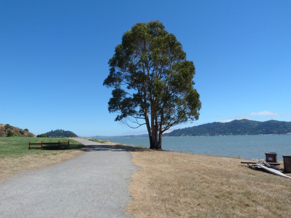
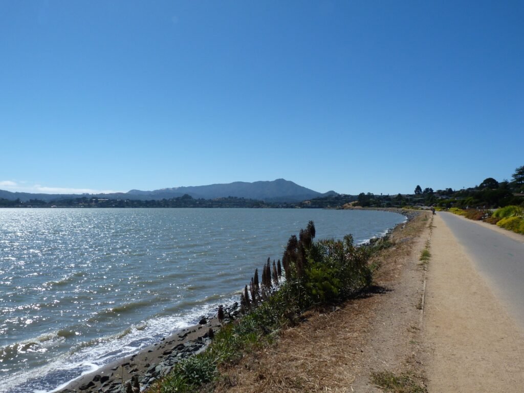
The Old Rail Trail starts at Blackie’s pasture and heads all the way to Tiburon Ferry terminal, a 2.5 mile stretch. The trail is marked by historic information of Tiburon. Heading due south, a fine late afternoon breeze helped me cover the home stretch of today’s walk. The paved multi-use trail is very popular as evidenced by the number of people out this sunny afternoon.
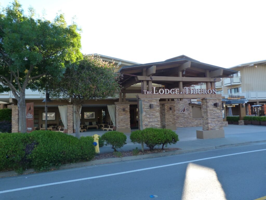
I had decided to rest my weary feet at the nice Lodge at Tiburon for the night. To my delight, an old friend of mine traveling to Bay Area from Chicago drove down all the way to meet me at Tiburon making it a fine way to end the day after the long walk.

Key Stats from Day 8
- Distance covered: 17.5 miles (phase 2 map)
- Elapsed time: 6 hours 40 minutes, including breaks
- Breaks: About 30 minutes
- Overnight stay: The Lodge at Tiburon
- Cities: San Francisco, Sausalito, Mill Valley, Tiburon
- Dog friendly segments: the entire 17.5 mile stretch
- Birds observed: Snowy Egret, Great Egret, Canada Geese
Here is the complete album of photographs from Day 8.