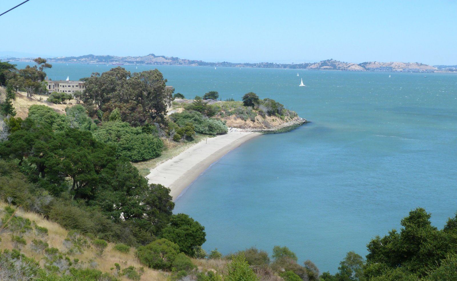
Angel Island State Park
An 8-mile walk around the historic Angel Island SP (including a hike to Mt. Livermore) with scenic 360 degree views of SF Bay Area.
July 2, 2017
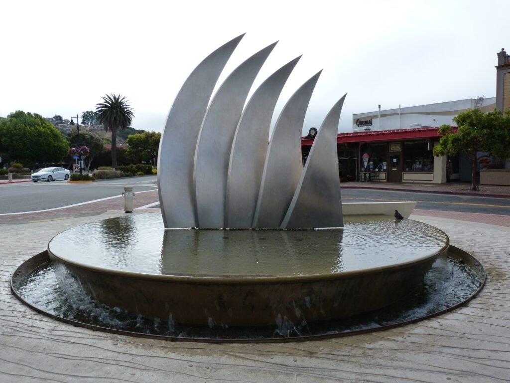
Angel Island State Park can be reached by a short ferry ride from Tiburon. I had decided to do explore this island when I was passing by Tiburon on my bay trail walkabout.
It was a cool, foggy, classic summer morning when we reached Tiburon in time to catch the first ferry at 10 am. Paid parking is available in three parking lots at the intersection of Tiburon Blvd & Beach Blvd (opposite Woodlands Market) for a nominal $5 fee.
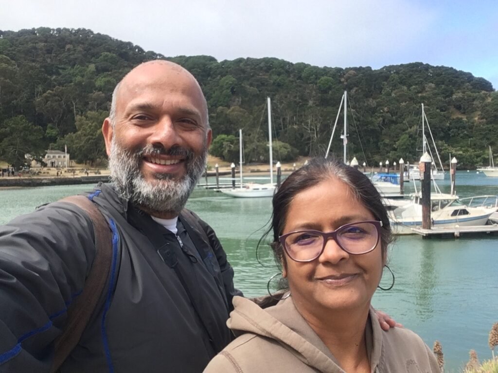
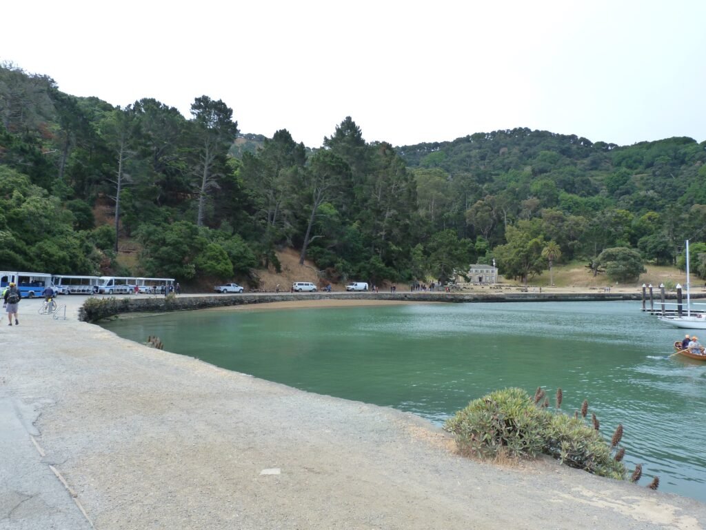
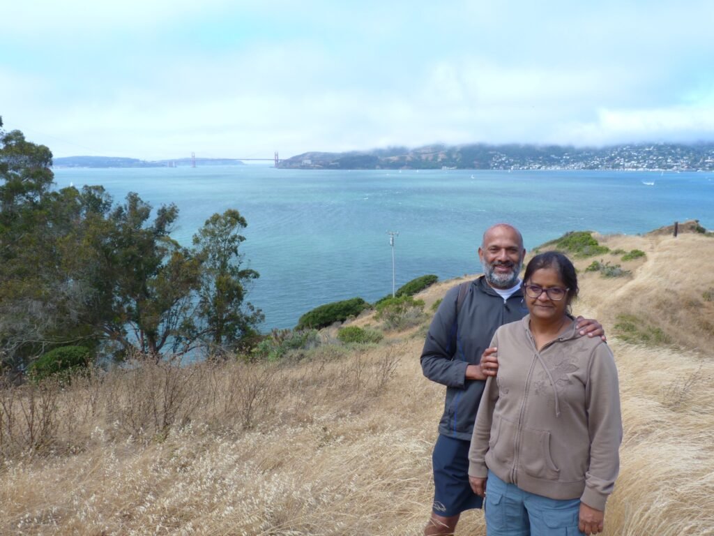
Jaya joined me in this outing to Angel Island. Unfortunately, dogs are not allowed in this state park. The ferry ride is just about 10 minutes long before it reaches the Angel Island Terminal in Ayala Cove.
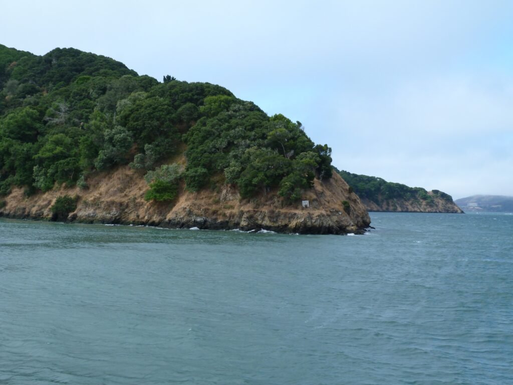
There are multiple options to explore the island. You can do the 5+ mile Perimeter Rd loop with an opportunity to stop by several places of historic significance along the way. You could also hike by Northridge & Sunset trails to Mt. Livermore summit. In our case, I had mapped out a route that involved the complete perimeter loop and an out & back side trip to Mt. Livermore summit.
Bicyclists can get their own bike or rent one in the island to do the trip. There is also the option of taking a conducted tour in a tram for those not able to walk, hike or bike around the island.
Starting from the ferry terminal, we walked ahead to Perimeter Road and turned right to go around the island in a counter clockwise direction.
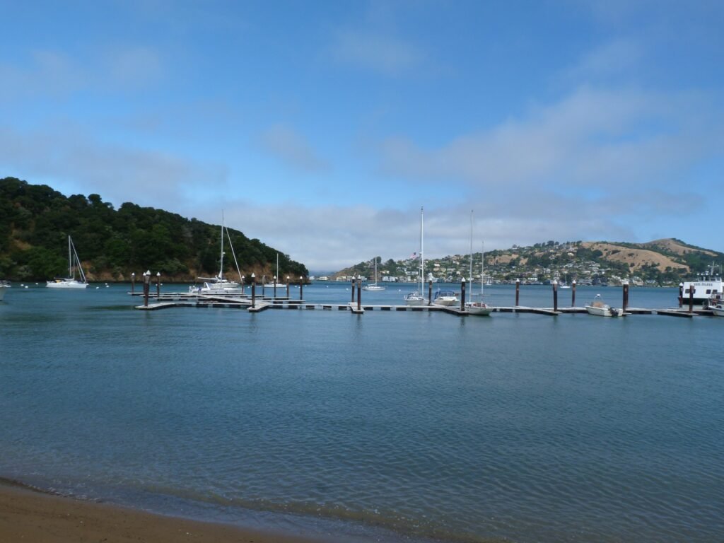
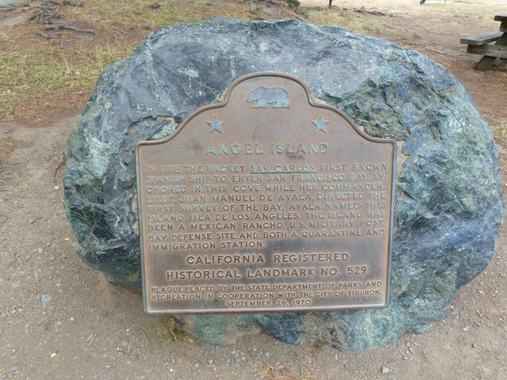

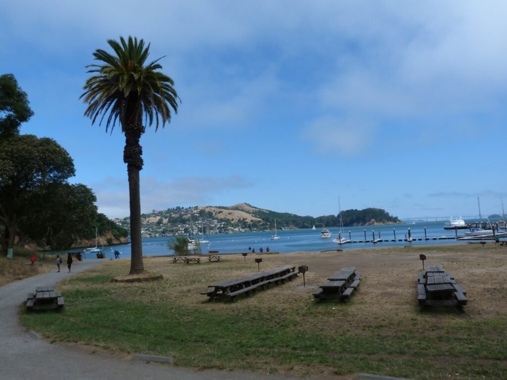
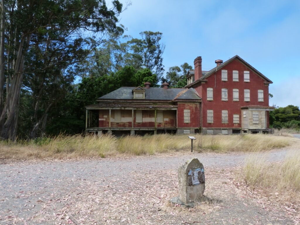
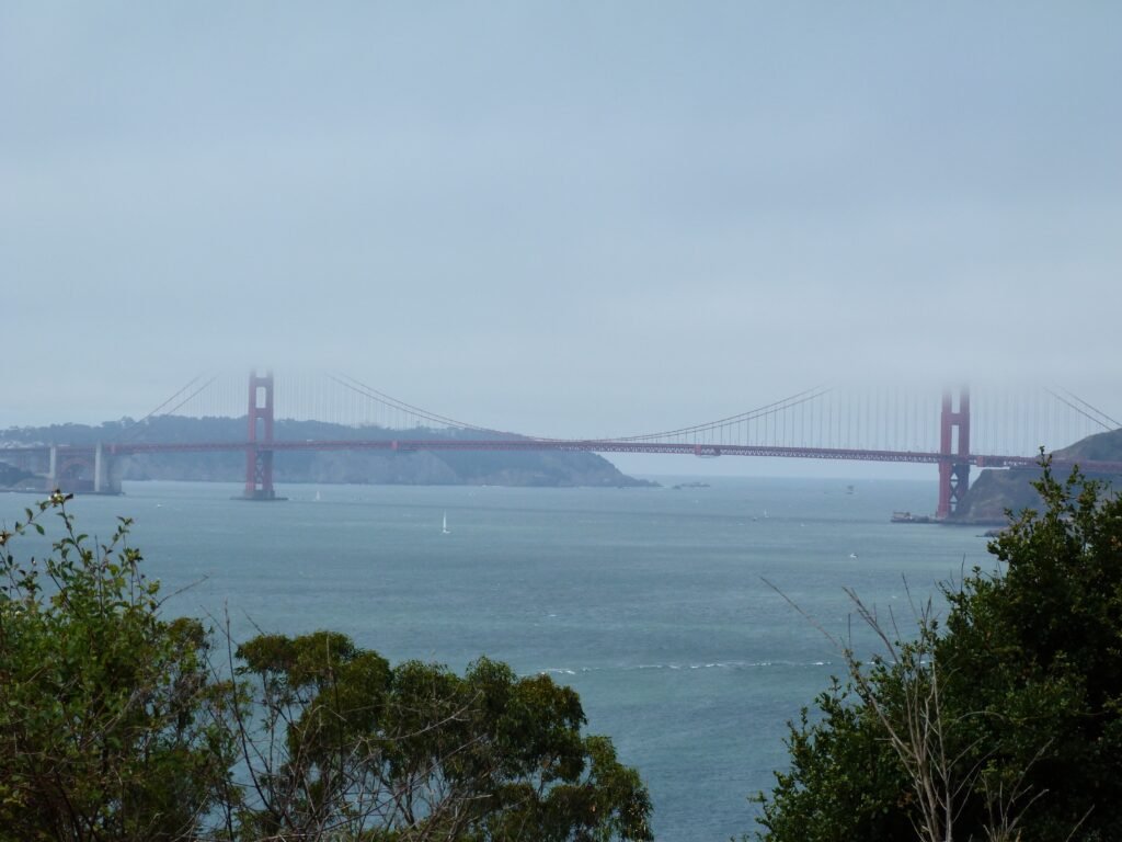
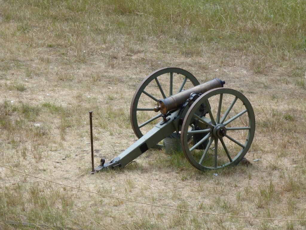
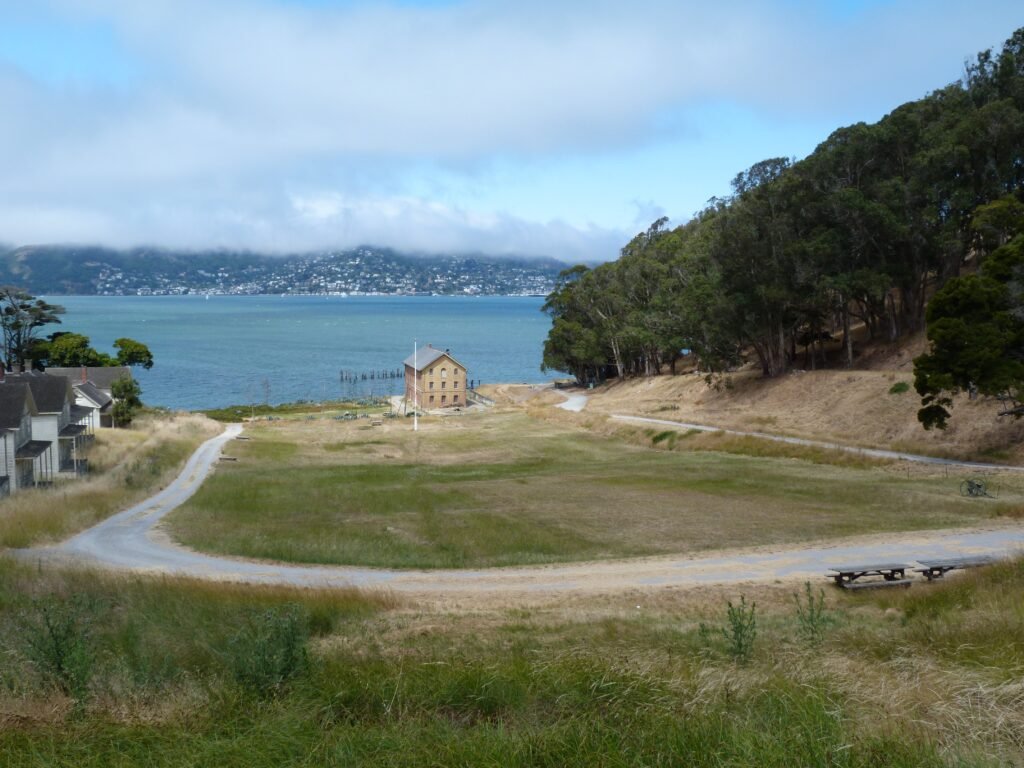
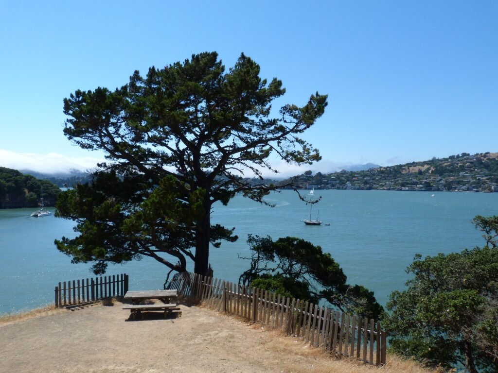
With scenic views of the Tiburon, Belvedere, Golden Gate Bridge (GGB) and San Francisco, we made our way by the paved road to the first point of interest, Camp Reynolds. The military post served as the west garrison in a long history dating back to 1863. The parade grounds and several quarters and barracks still stand today, a reminder of the heydays of the past.
A side trip to Point Stuart is possible here. I would highly recommend it. We took the single track dirt trail to Pt. Stuart. The entry to the narrow trail is just by the restroom. The short hike will reward you with rich views of GGB and the bay. On the way back, we took the wider fire road that runs by the parade grounds and the buildings standing intact in Camp Reynolds.

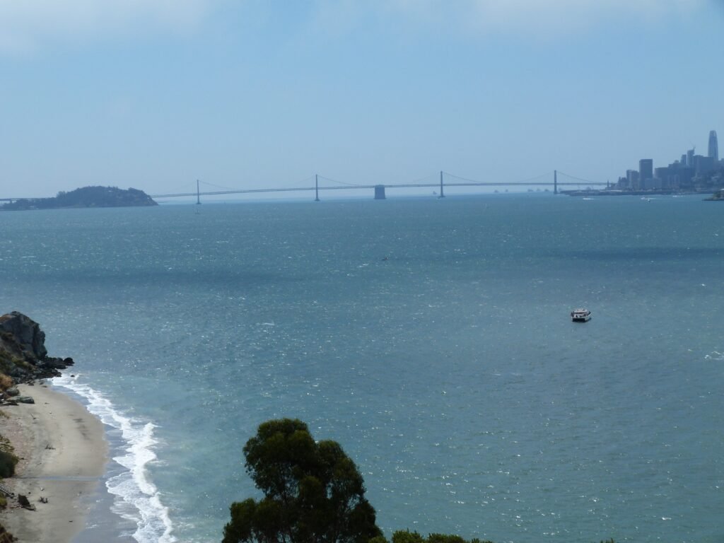
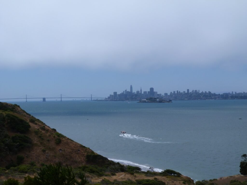
Continuing on, we walked to Battery Ledyard Overlook, with some incredible views of Alcatraz and Bay Bridge.The beach you will see below is Perle’s beach that can be reached by a short hike from Perimeter Rd.
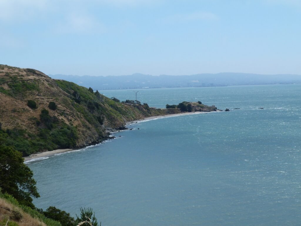
Skirting Battery Drew, Perimeter Rd goes by a rock crusher used to break serpentine rocks for laying roads in the island. The mile long section ends at Four Corners where you have couple of options on how to proceed. This stretch will also provide you a fine view of Point Blunt, the south east tip of the island that is cordoned off for visitors.

From Four Corners, we did the side trip to Mt. Livermore summit before continuing on the loop. A short climb will take you to a fire road that intersects with Ida trail. Ida trail is steep but definitely negotiable if you are in decent physical shape. The out and back trip from Four Corners to the summit involves about 600 feet elevation gain.
The home stretch to the summit is by a narrow single track trail. With heavy traffic in both directions, we ended up having to stop and make way for the group heading the other direction or vice versa. At one spot, the trail has a really fascinating view of Belvedere, Tiburon, the bay beyond and Mt. Tamalpais.
It was a breezy day all through. But the climb up to the summit and the top, it was all the more pronounced. We attempted to have a picnic lunch at the top and quickly decided that we’d be better off saving the lunch for a shaded and less breezy spot.
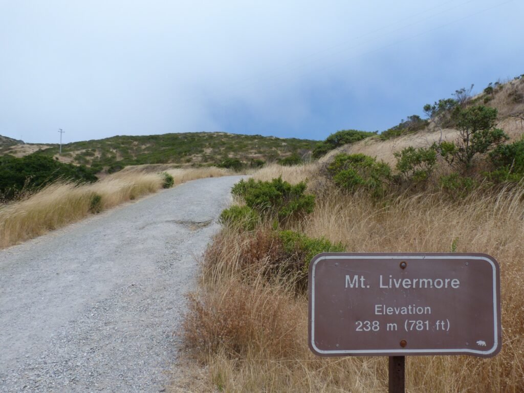
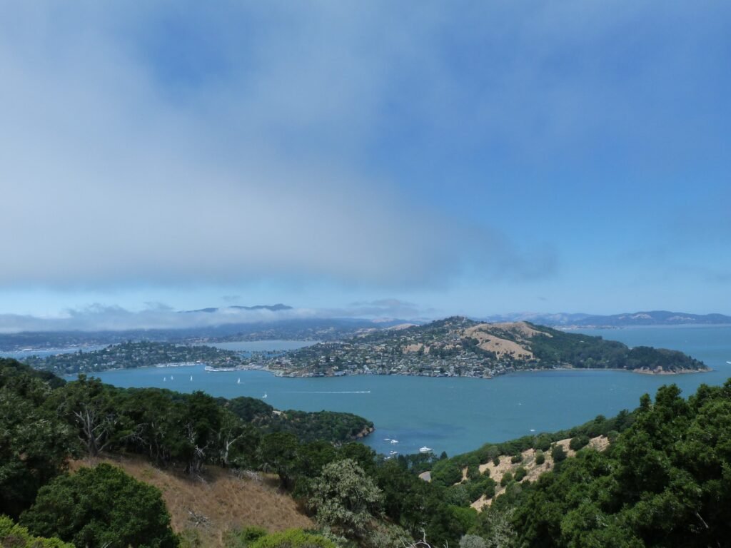
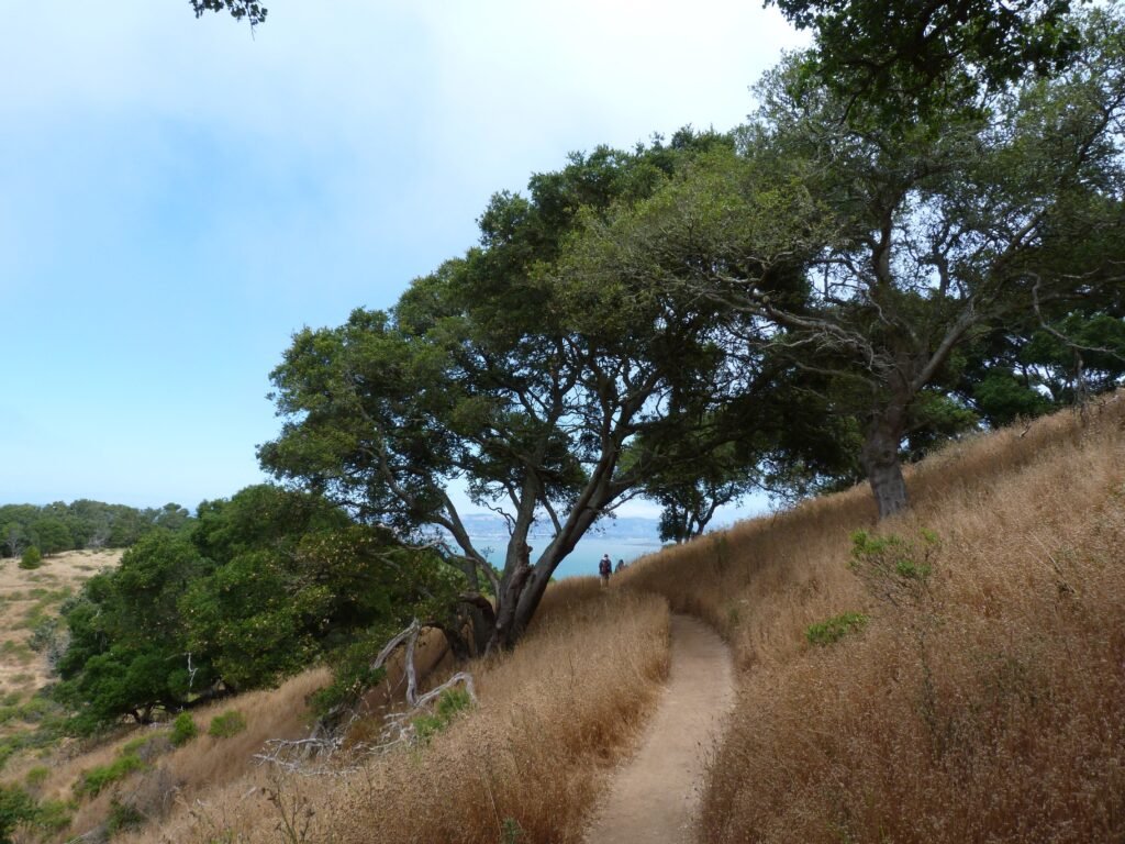
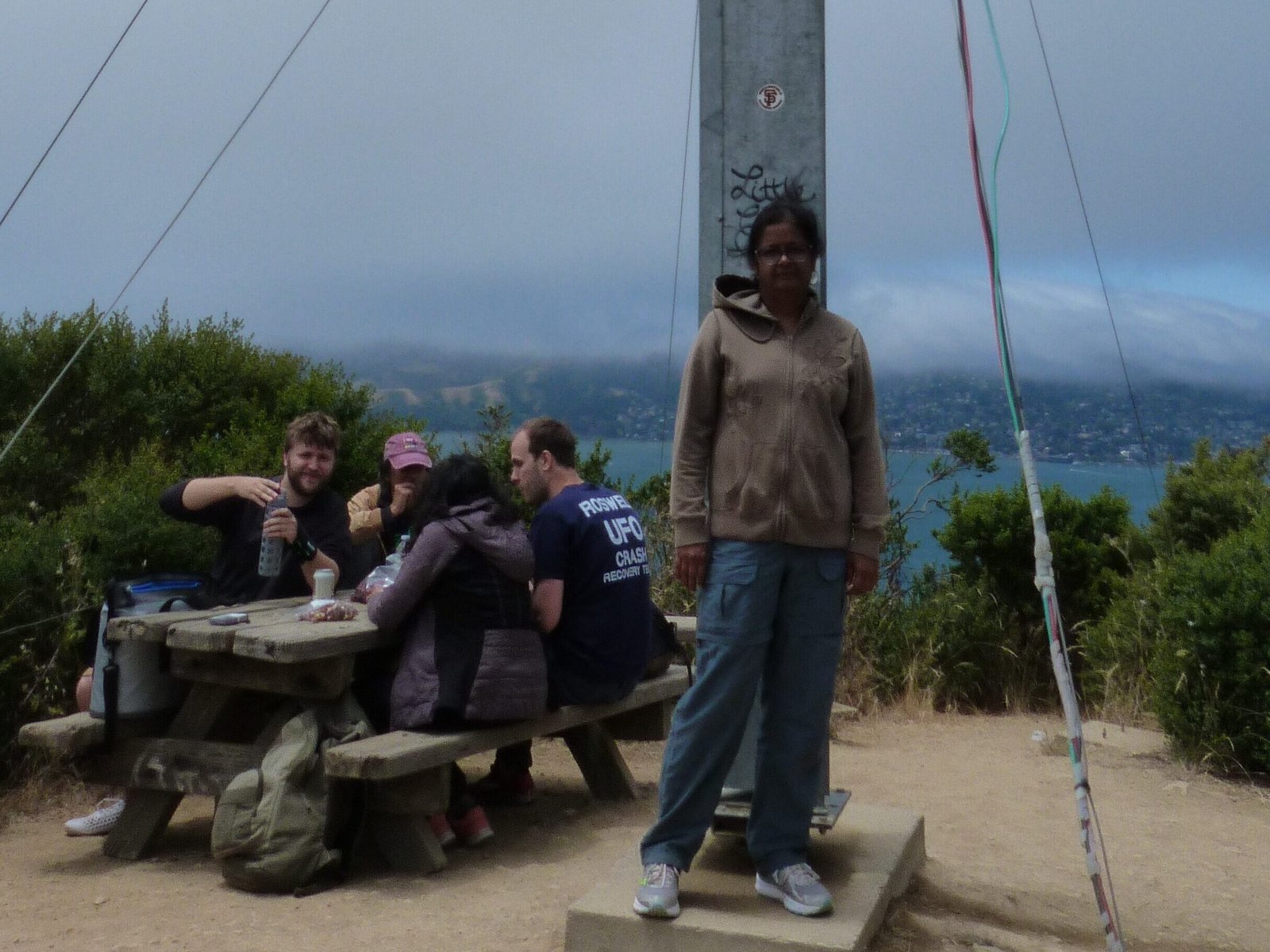
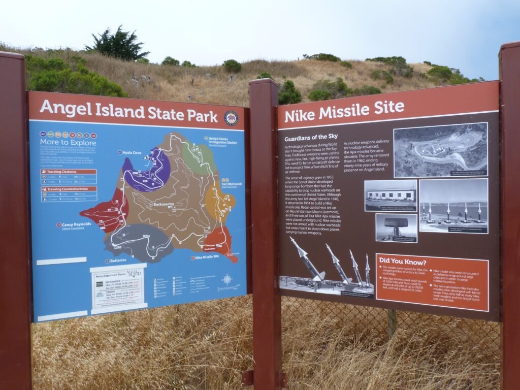
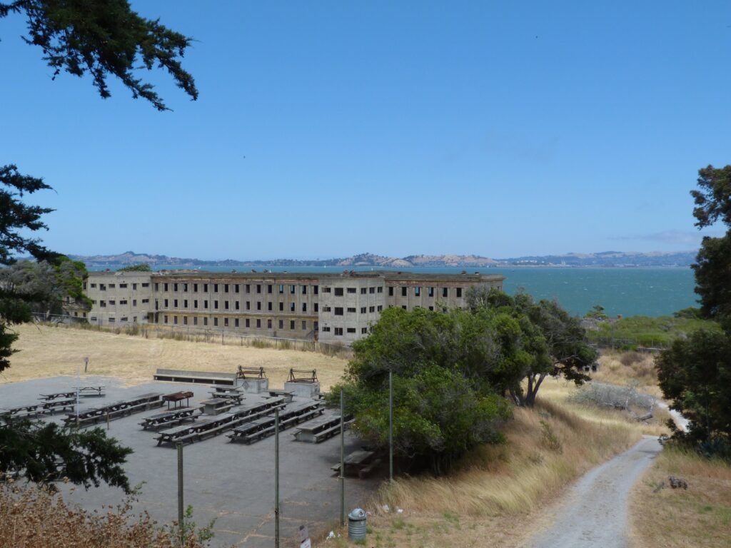
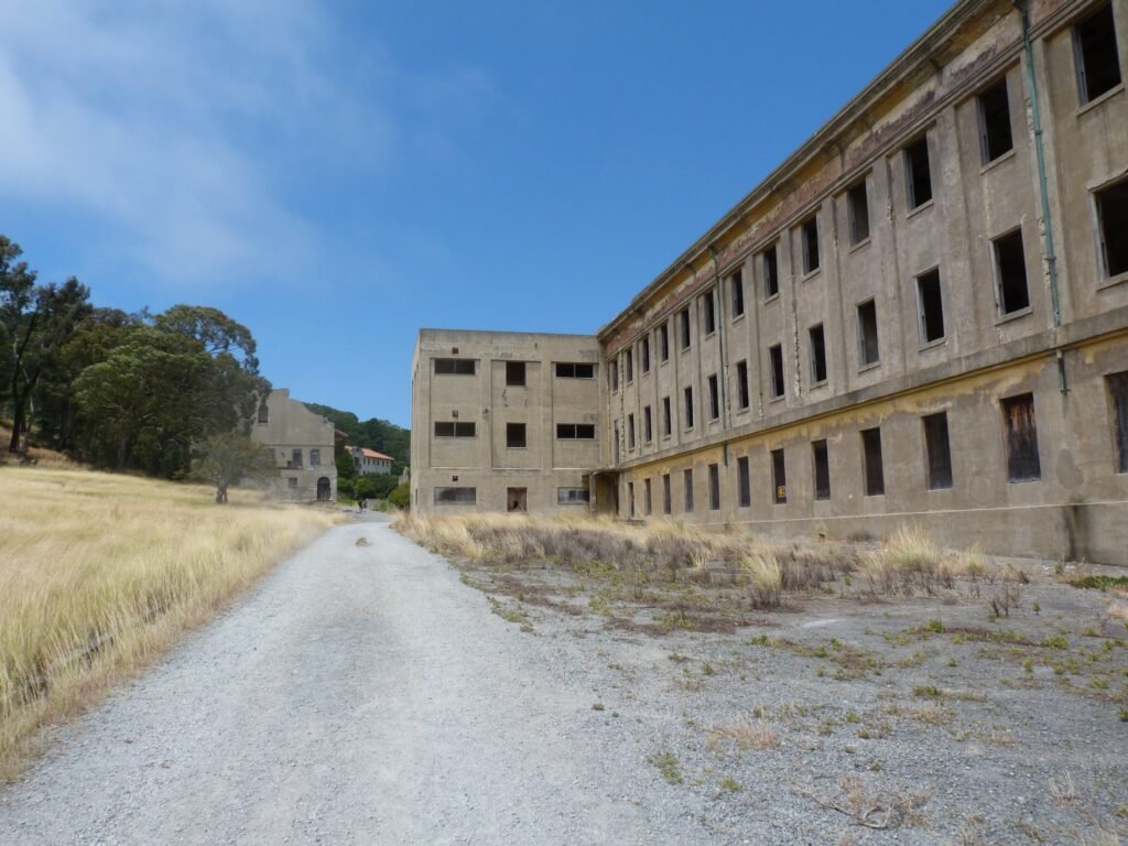
Back on Perimeter Rd, we went around the south eastern corner of the island where the Nike Missile site is located. And continuing by the eastern portion, we came to the next point of interest, Fort McDowell – the east garrison with access to Quarry beach.
Starting off as a quarantine facility, Ford McDowell became a military training base and more, housing more than 40,000 military personnel during WW II.
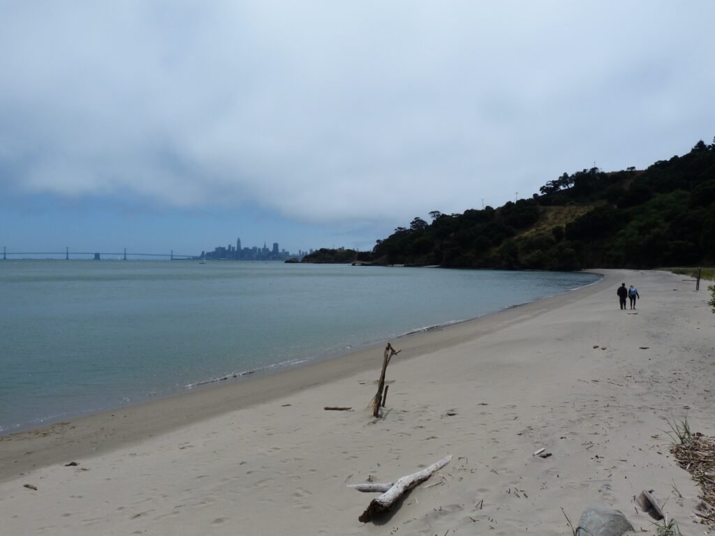
Quarry beach is a pristine beach that can be reached by the short access path from here.
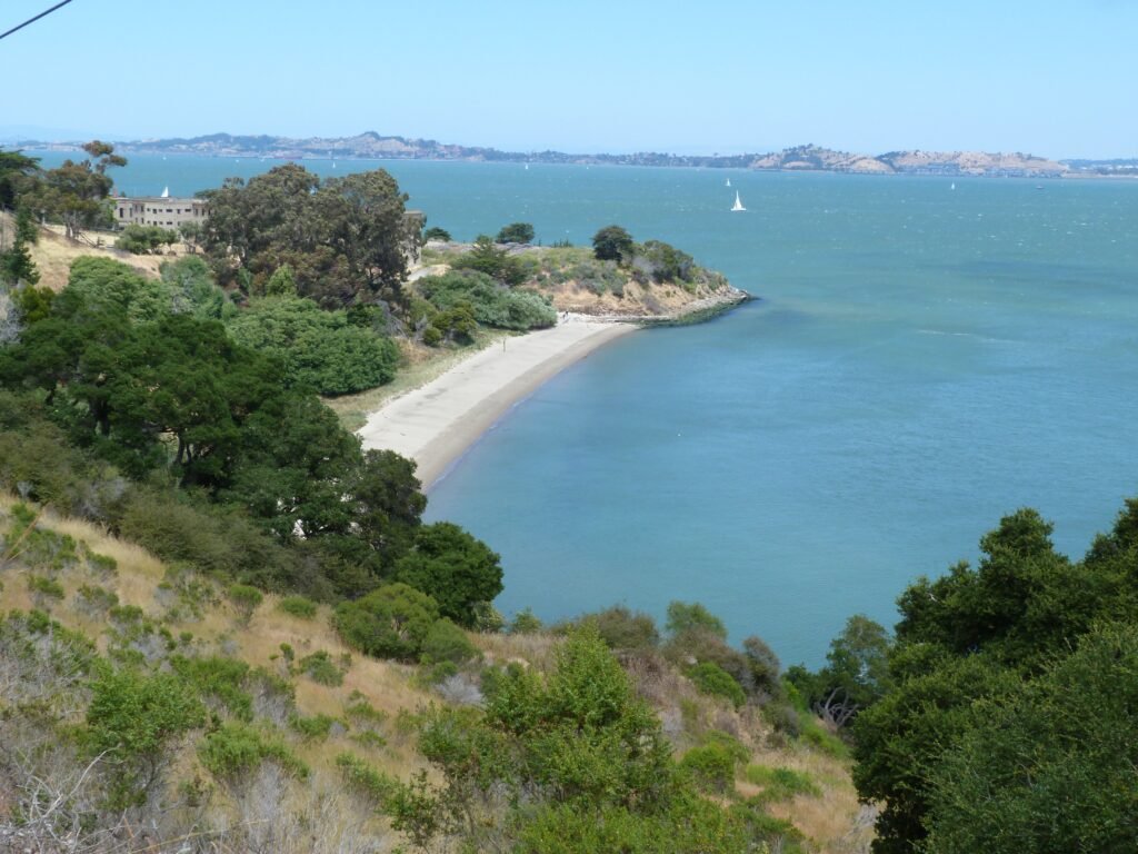
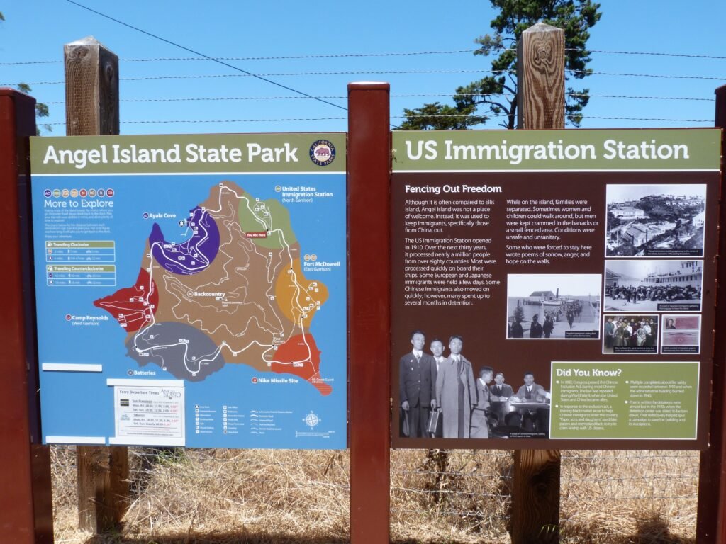
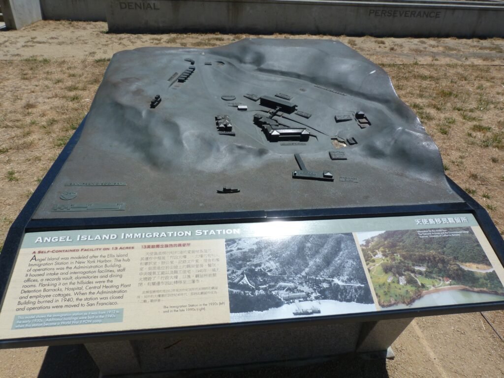
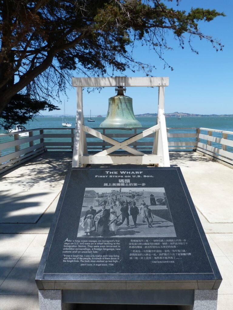
From here, we went to the last historic stop, the U.S. Immigration Station. Modeled along Ellis Island, the immigration station was infamous for its cruel treatment of immigrants from the east, especially Chinese. Active from 1910 to 1940, this station practiced segregation and what would unequivocally be unfair treatment of people based on their nationality or color of skin.
As I read the stories of the past, I wondered if we have really moved past such prejudices or is this country still mired in them even in 2017.

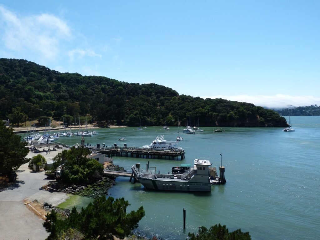
We wrapped up our hike by taking the short cut to the ferry terminal. Part of the Northridge trail, this involved us walking about 200 feet down to the sea level by a long flight of stairs. As we came down, we had yet another view of Ayala Cove where the ferry terminal is located.
Our walk around the historic Angel Island was little more than 8 miles (map). With the climb to Mt. Livermore summit and other uphill sections of the walk, we also gained about 1100 ft. of elevation along the way.
Here is the complete album of photographs from our Angel Island State Park hike.