Upper Stevens Creek County Park
A 9-mile out and back hike by Grizzly Flat trail to Table Mountain
August 18, 2017
Upper Stevens Creek County Park is a beautiful, 1200+ acre park in the Santa Cruz mountains. The best parking lot to reach this park is on Skyline Blvd (Hwy 35), located about 3.2 miles north of Hwy 9 junction or 3 miles south of Page Mill Rd junction. Parking is by Skyline Road and can accommodate about dozen cars.
The best time to visit the park is summer or fall before the rainy season. Mature redwood and douglas fir trees provide excellent shade cover making it a fine place to hike in summer. The trails can get very muddy and the creek may not be passable in winter or early spring after good rains.
From the trail head, you can take either Grizzly Flat North or Grizzly Flat South trail into the park. I decided to take the north trail on the way in and the south trail on the way out. Both trails join about a mile ahead and continue further as Grizzly Flat trail.
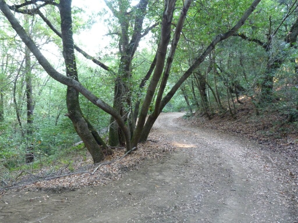
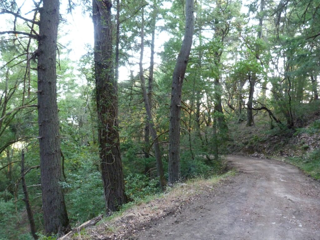

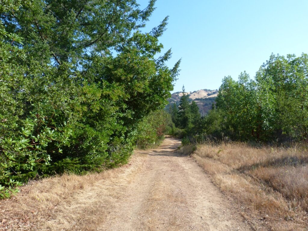
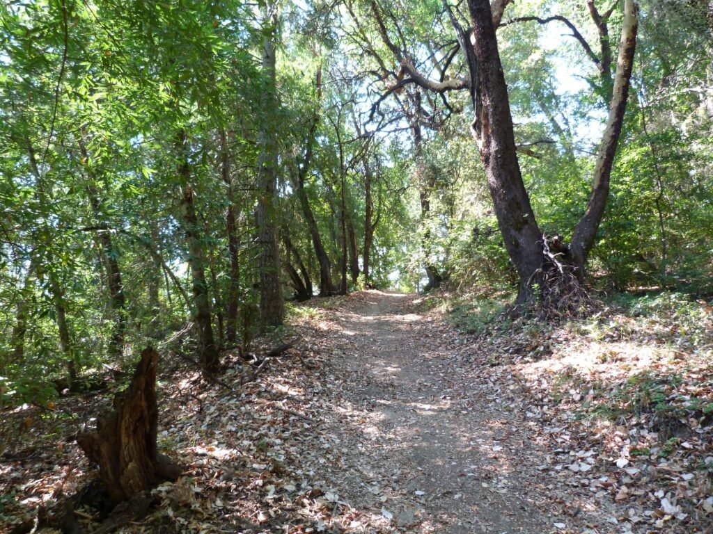
The north trail is a wide, fire road that descends gradually from the trail head. Tall redwood and douglas fir trees dotted either side of the trail, with a canyon on the left and a sloping hill on the right. The scenery is pretty much constant for the next mile before the north and south trails meet. There is a precipitous drop on the canyon side that is cordoned off, probably a result of land slide from last season’s rains that will be impressive to see, but hard to capture in a photo.
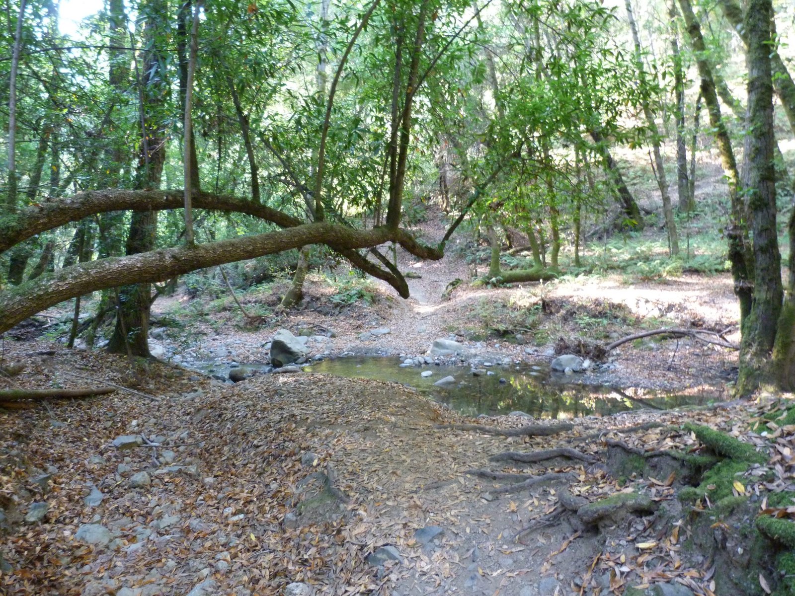
The merged Grizzly Flat trail continues gradually descending into the park, initially as a wide, dirt, fire road. I was wondering if the trail would change character. It sure did as it came close to Stevens creek and started going parallel to it for a while. There was a spot where I made a short side trip down to the creek that still had water flowing through it.
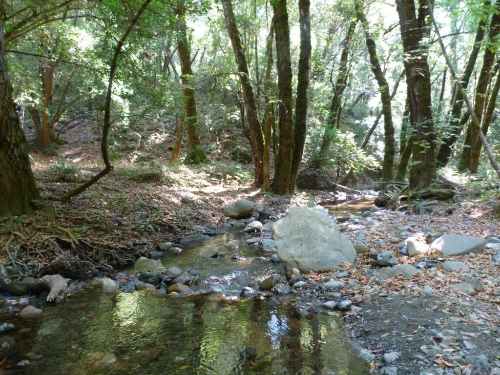
You could skip that side trip as slightly ahead, the trail actually goes to the creek, as it narrows to a single track trail. There are warning signs indicating that the trail could be closed due to flooding and I soon realized why. The trail actually crosses the creek and when the water is flowing in force, it could very well be not passable.
It was not difficult to cross the creek today. There were enough rocks that I could use to step across without wetting my feet.
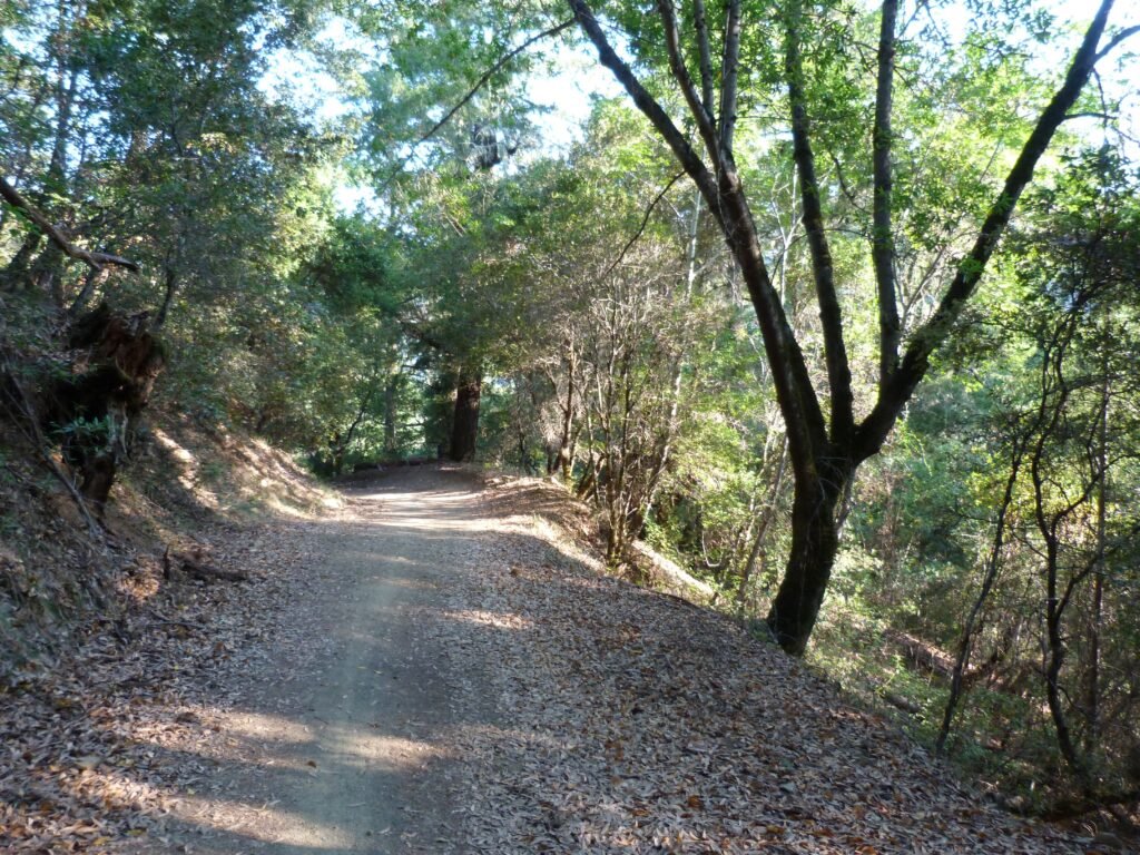
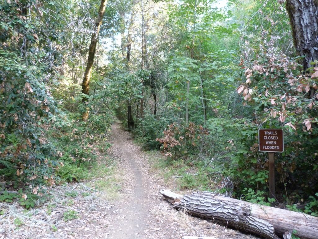
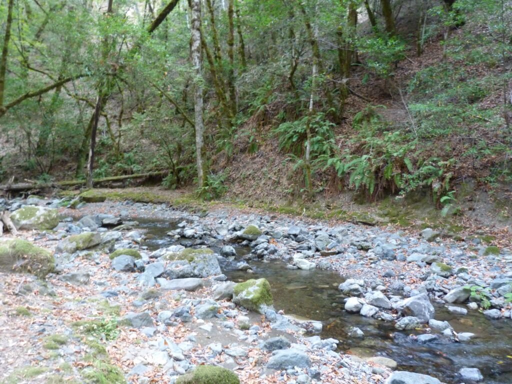
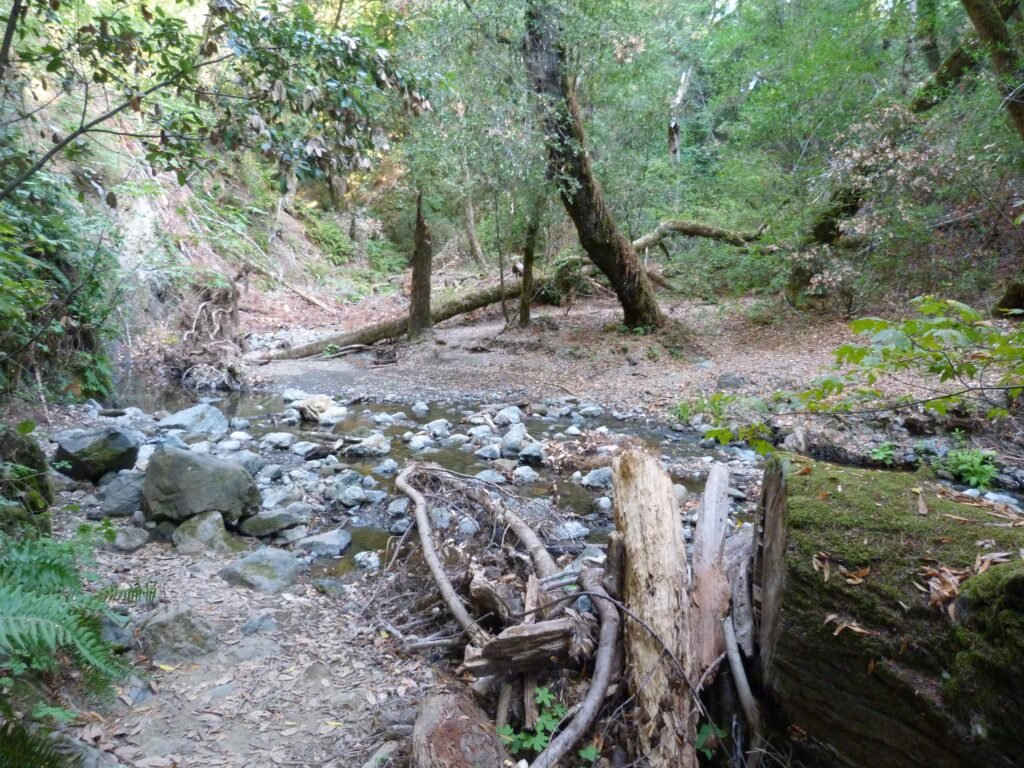
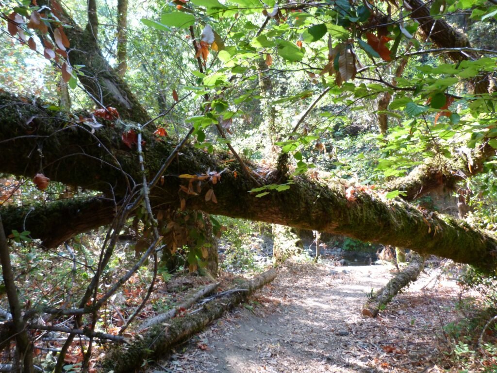
It was pretty much downhill all the way to from the trail head until the creek crossing. From here, it gains some elevation, zig-zagging away from the creek. There are multiple fallen trees across the trail in this section. I guess it would be pretty nigh impossible to get tree maintenance machinery in this section that is fairly difficult to gain access to.
Grizzly Flat ends at Canyon trail. On the left is Monte Bello Open Space Preserve. Canyon trail is a five mile long trail that runs from Monte Bello OSP thru Upper Stevens Canyon County Park to Stevens Canyon Road. I turned right here on Canyon trail, staying on it for less than 1/2 a mile before reaching the Table Mountain trail, just past the Palo Alto city boundary.
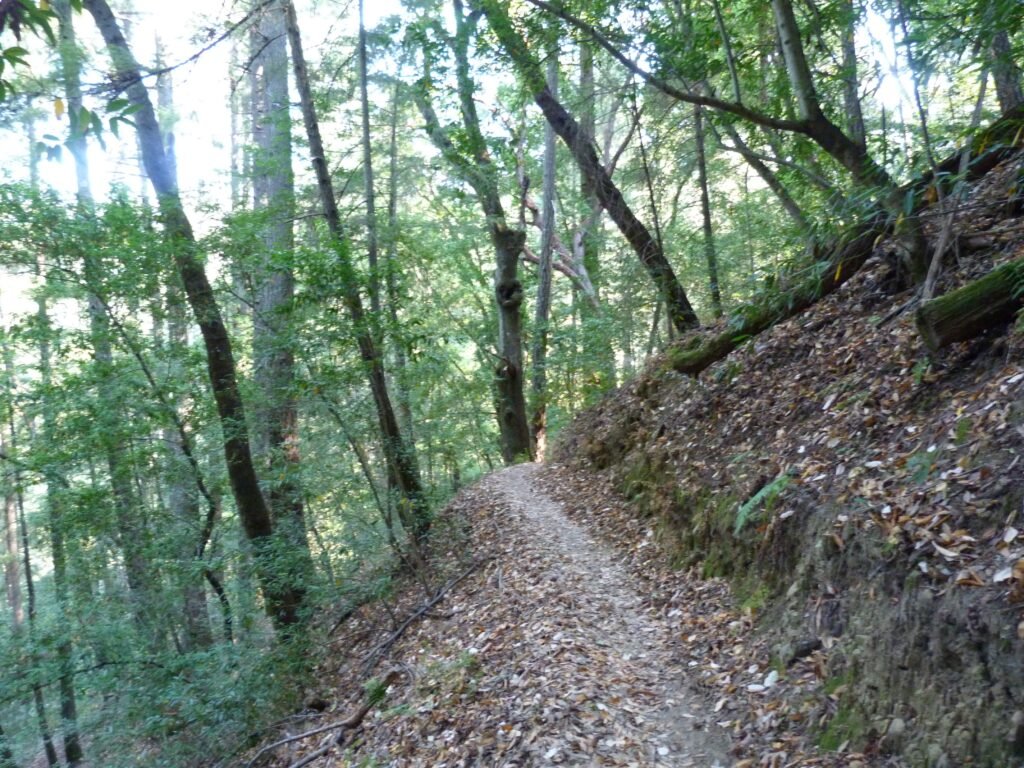
Table Mountain trail is a single track trail that crosses over Stevens creek once more. This crossing was little more challenging, with more water in the creek. I was able to make it across again using the rocks and stones as a bridge. As with the previous crossing, right after the creek, the trail starts ascending. However, this time, the entire 1.3 miles was uphill, gaining around 750 feet.
It was extremely scenic, with the single track trail winding up the hills through dense woods where it was possible to hear the “sounds of silence”. Apart from my foot steps and the occasional bird chirping, this stretch was the most quiet and peaceful portion of the hike.
The trail was rough in places. What amazed me was seeing mountain bike tracks along the trail. One must be a serious and skilled mountain biker to cross the creek and pedal uphill with multiple rough segments along the way!
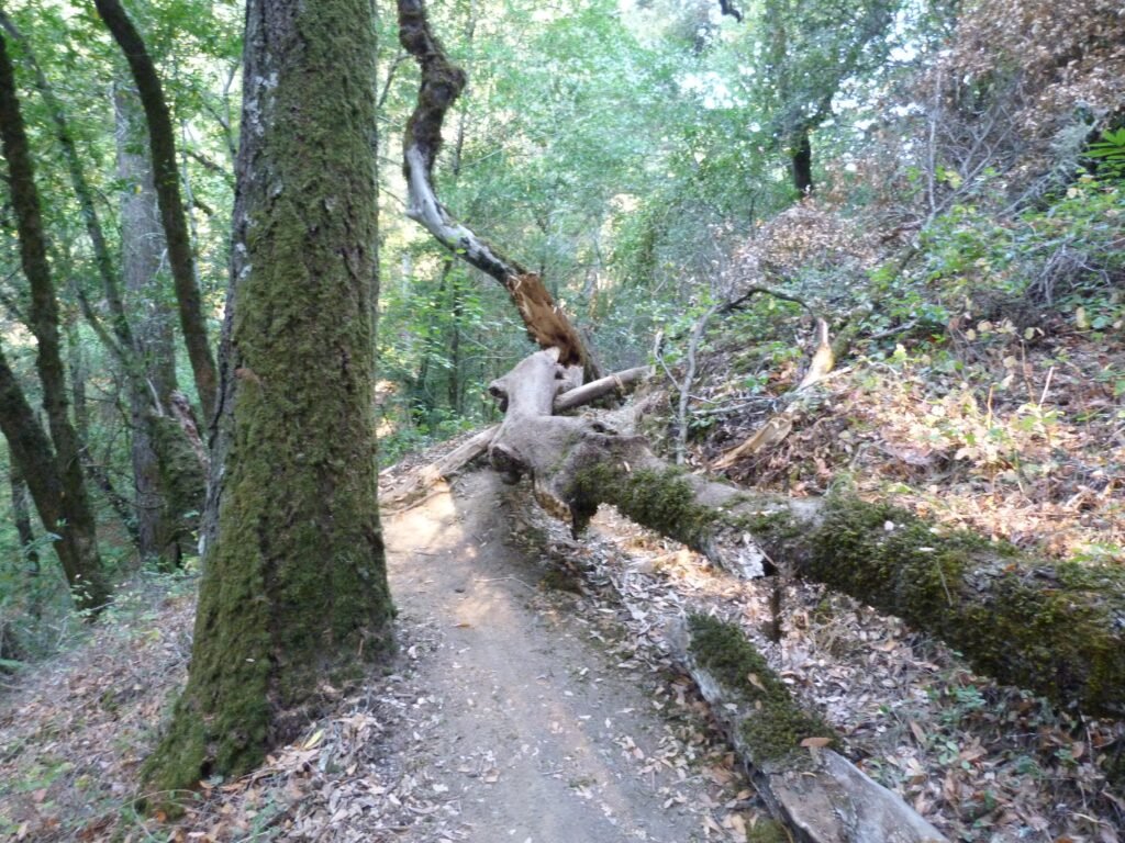
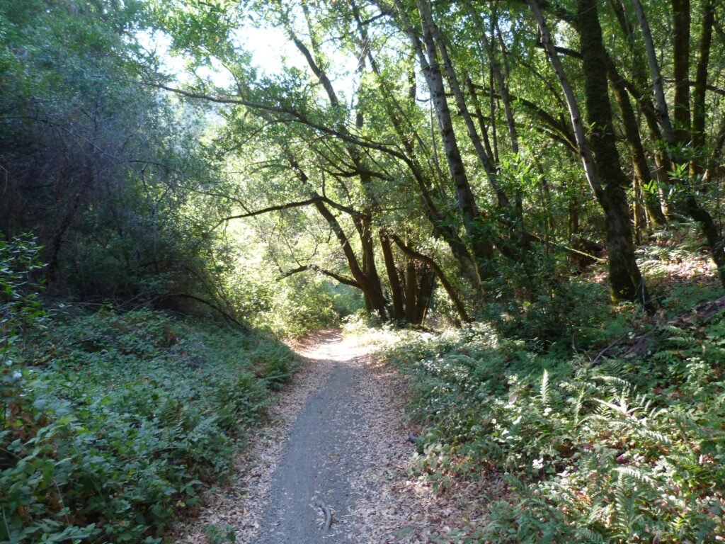

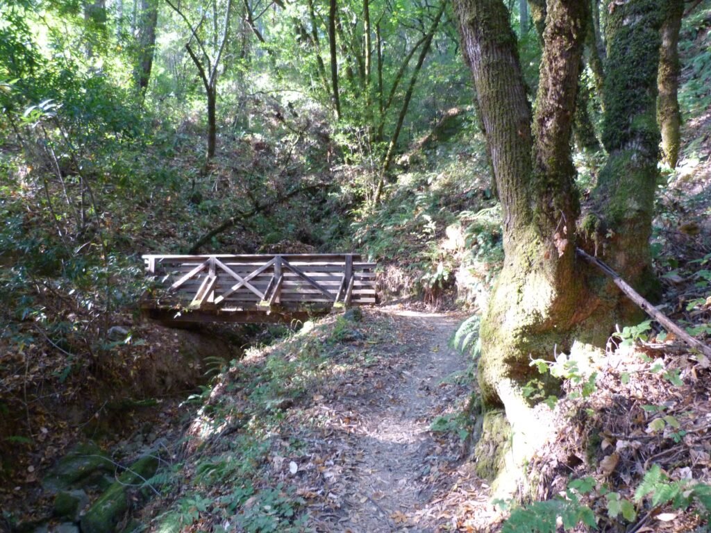
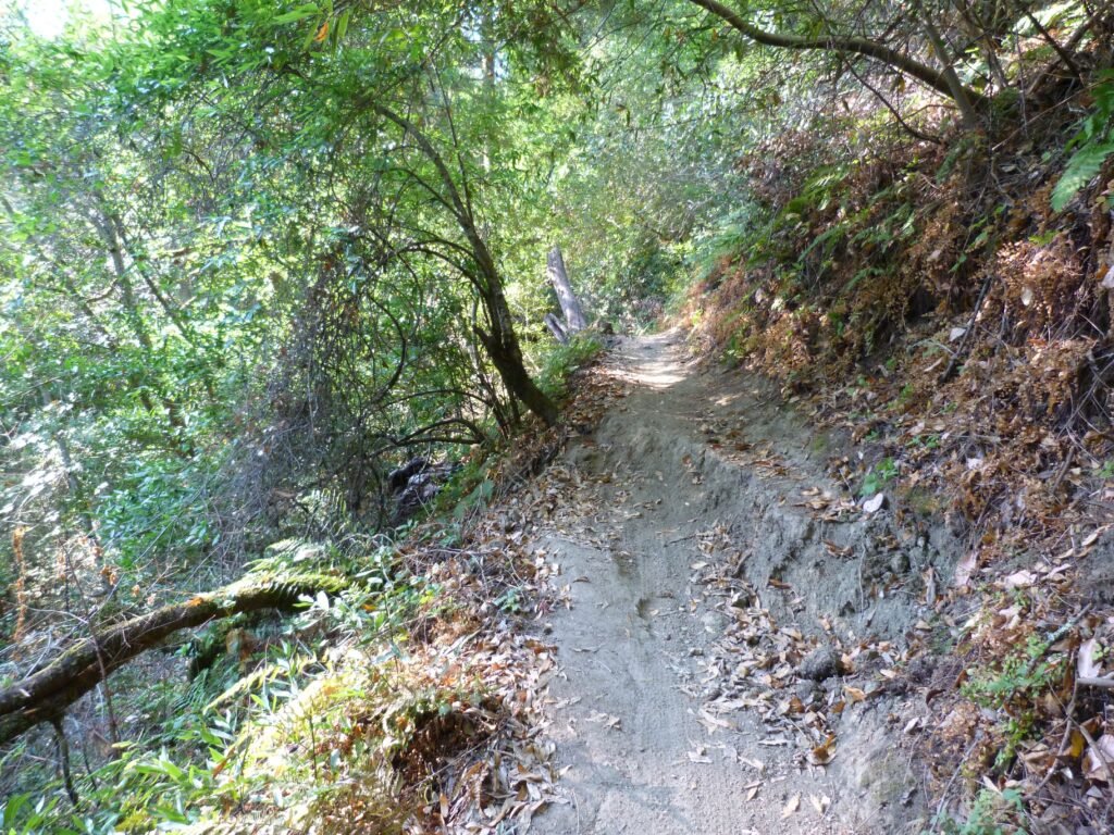
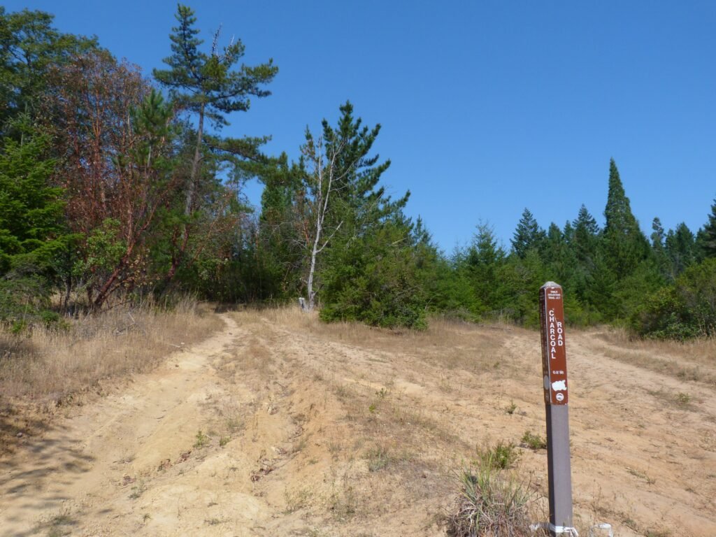
Table Mountain trail emerges out of the woods and joins Charcoal Road at the mountain top. The fire road goes around the mountain, which is essentially flat plateau. The loop is shy of a mile and will get you back to where Table Mountain trail and Charcoal Road intersect.
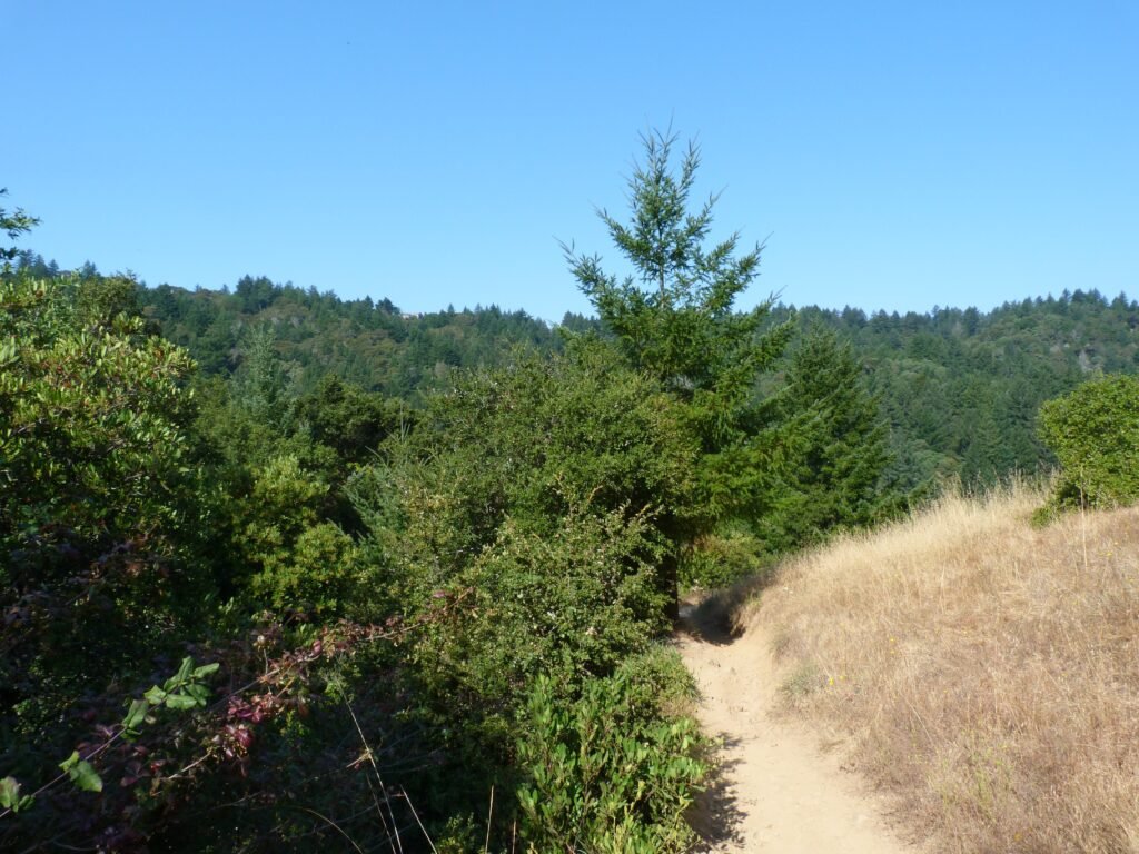
The walk around the hill top is the only section where there is exposure to steady sunlight. I guess the “Table Mountain” gets the name from a flat table top it resembles. The short walk is scenic, offering nice views of the Santa Cruz mountain range from different vantage points. And the loop is also fairly level with little more than 100 feet in elev gain.

Back at Charcoal Rd x TM trail junction, I started my trek back. The first 1.3 miles is all downhill, all the way until the creek crossing. After successfully negotiating the creek once more, turning left by Canyon trail, I made my way to the Grizzly Flat trail junction.
The single track trail also goes downhill to the creek level where I had to get across the waters once again.
The trail resumes a steady upward slope from here on. I realized that the ascend is going to be relentless all the way back to the trail head, more than two miles from where I was. Having hiked about 7 miles already with ~1000 feet elev gain, the last couple of miles certainly put me through the paces.
At the GF north and south trails junction, I took the GF south trail to complete the mini loop. The south trail had more ups and downs compared to the north trail that made the final mile that much more challenging to complete. Otherwise, GF south trail resembled its counterpart, perhaps offering a tad less shade.
The hike was shy of 9 miles and involved about 2100 feet in elevation gain overall. With couple of creek crossings, this is a hike I wouldn’t recommend to a beginner.
Here is the complete album of photographs from my Upper Stevens Creek County Park hike.