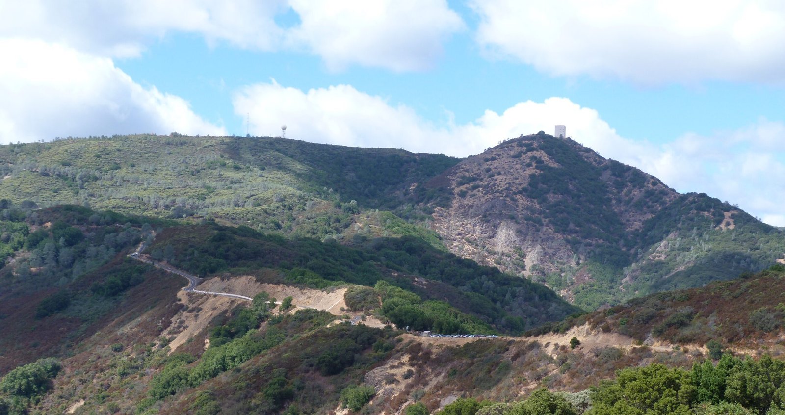
Mt. Umunhum & Bald Mountain
An 8-mile out and back hike to historic Mt. Umunhum summit from Bald Mountain parking area
September 21, 2017
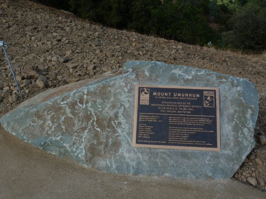
Midpeninsula Regional Open Space District (MROSD) just opened up the historic Mt. Umunhum summit earlier this week to the public. I chose the perfect autumnal last day of summer to visit this newly opened section part of Sierra Azul Open Space Preserve. Bald Mountain parking lot in Mt. Umunhum Road provides the perfect staging area to park and hike to the summit. It is also possible to drive all the way to the summit and enjoy the historic location.
To reach either parking lot, take Hicks Rd from Camden Ave in South San Jose and turn right on Mt. Umunhum road. At the intersection of Hicks Rd and Mt. Umunhum Rd is Jacques Ridge Parking lot. This staging area is popular with road bicyclists, who would ride uphill all the way to the summit. Bald Mountain staging area is favored by mountain bike riders and hikers to take the dirt trail to the summit.
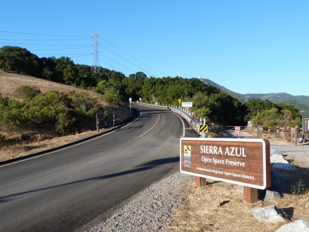
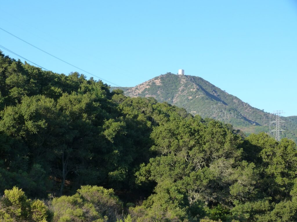
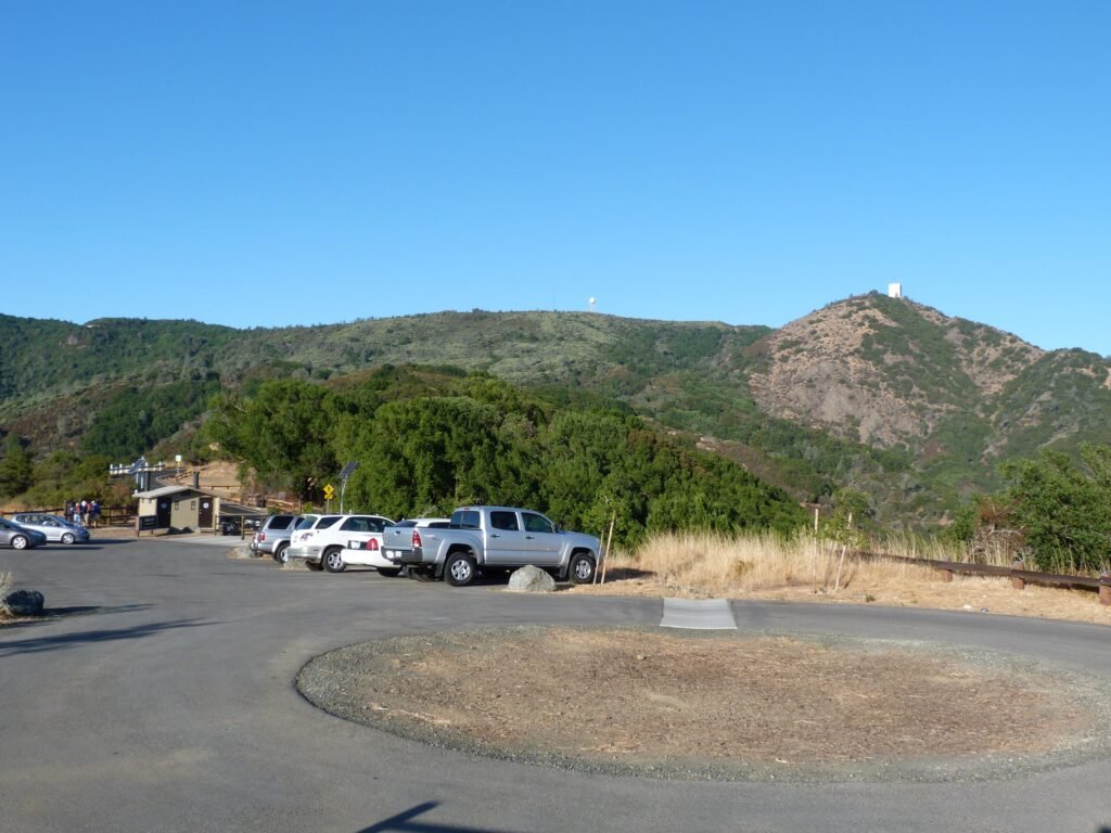
The summit is a 3.7 mile hike from Bald Mountain parking lot that involves an elev gain of about 1200 feet. At the summit is the prominent radar tower, a large, concrete structure known as the “cube” or the “box”. The iconic structure was the subject of much debate in the months leading to the opening of this area to public.
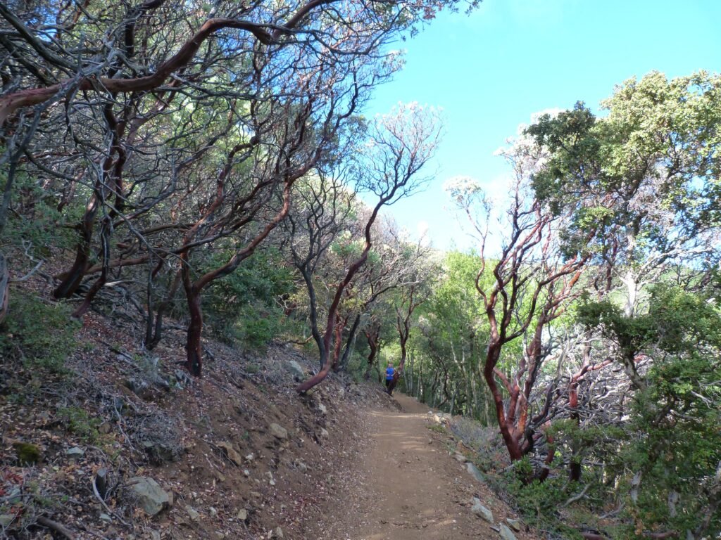
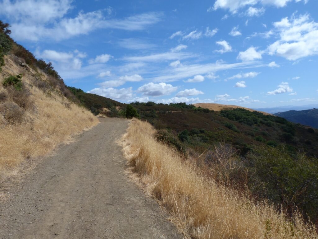
The dirt trail to Mt. Umunhum summit starts across the road. Room enough for two people to pass by, the trail sports a gentle slope with no part being particularly hard to negotiate. Initially, the trail gets its shade cover from manzanita and mahogany trees. There are trail markers every 1/2 mile allowing you to keep track of your progress.
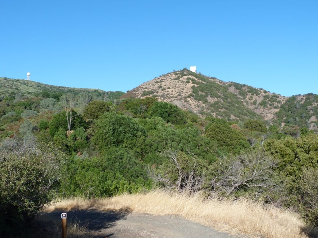
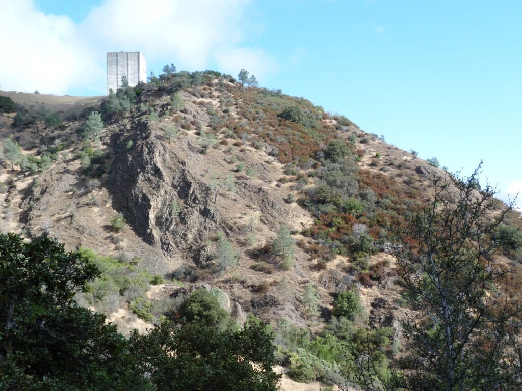
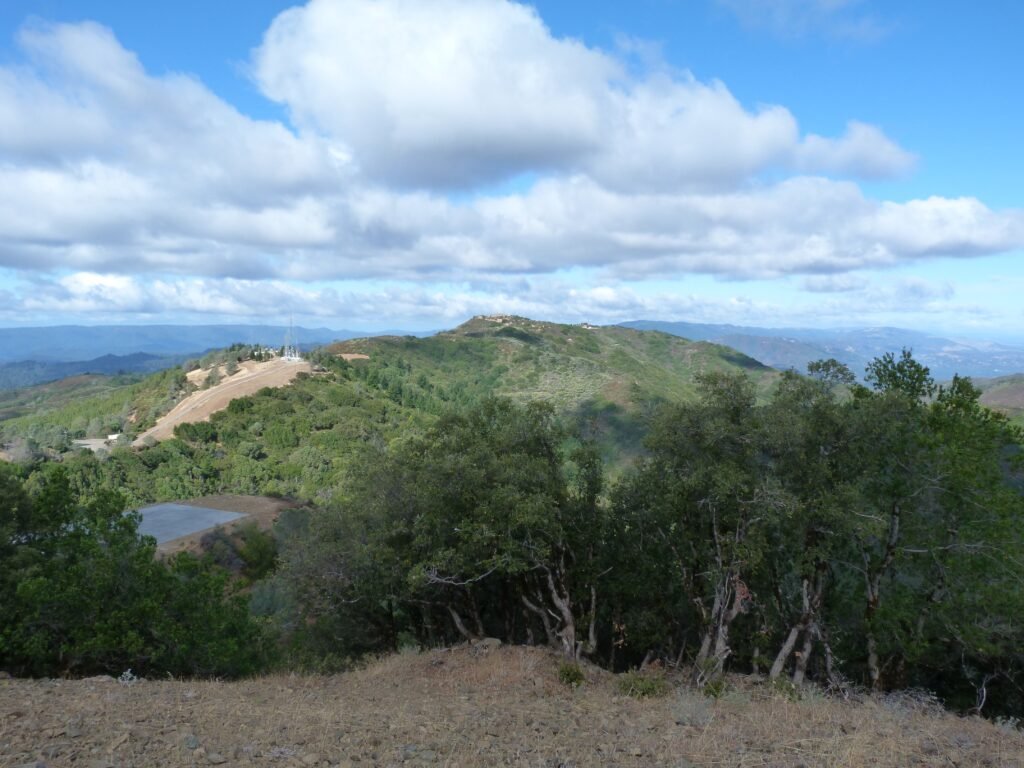
Every now and then, the trail will emerge from the woodlands to offer a glimpse of the cube atop Mt. Umunhum as well as the valley on the other side.
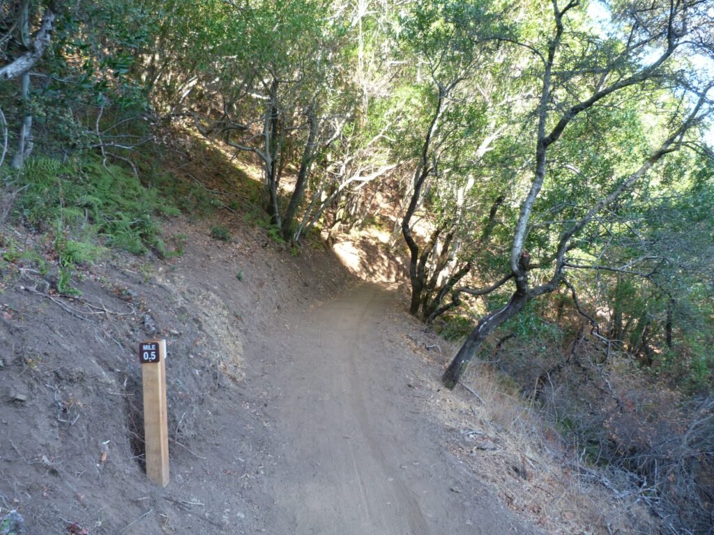
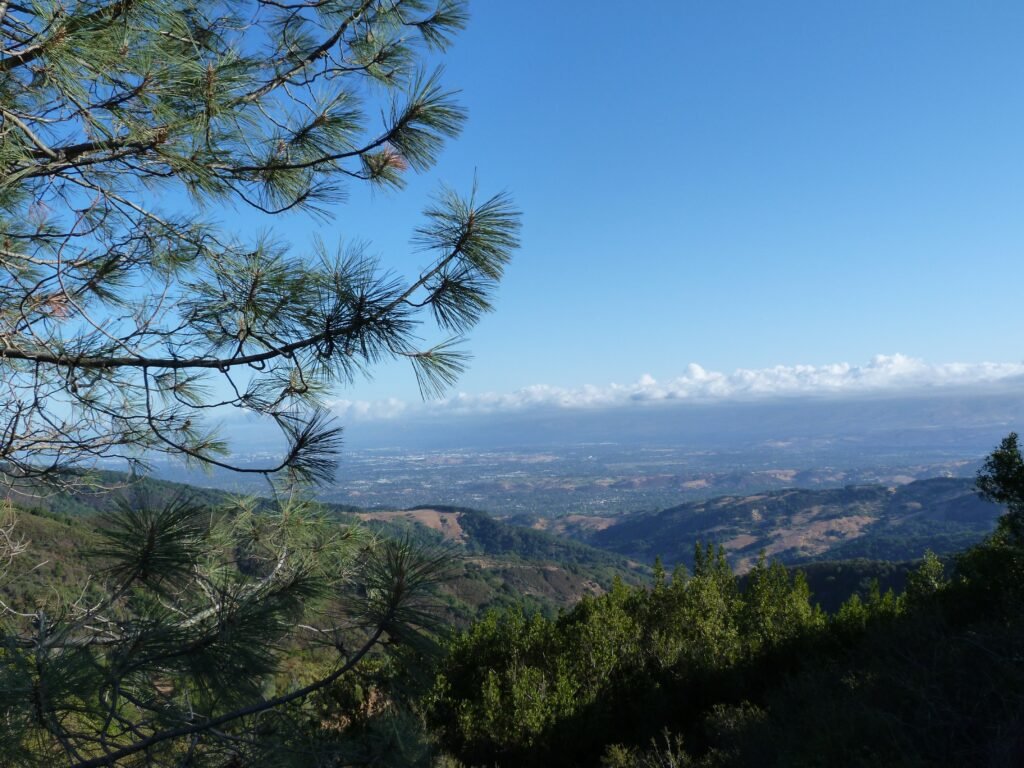
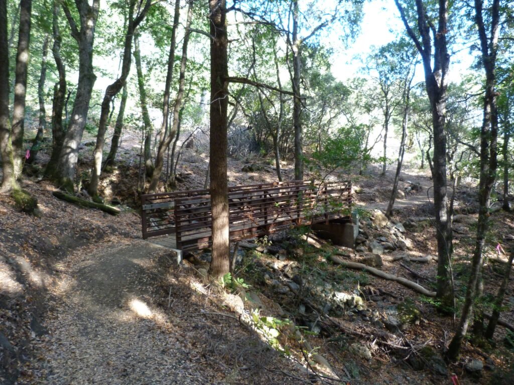
After crossing the mile marker and a bridge, the trail goes by the Guadalupe Creek Overlook. Set on top of a gorgeous precipice, the vista point offers breathtaking views of the valley and the mountain summit.
Continuing its gradual ascent, the trail passes through woodlands with ample shade from coast oak, Pacific madrone and California bay trees. Past the 2 mile marker, the trail goes across two more bridges. Over the next mile or so, the trail has plenty of switchbacks.
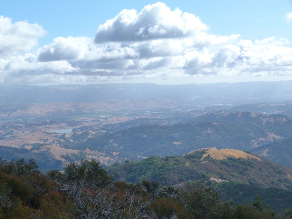
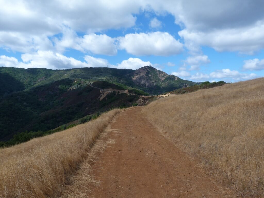
Around the 3 mile mark, the summit and the cube becomes visually prominent, the hillside with its serpentine rock features easy to spot. It was a fine sunny day, but with some cloud cover that on occasion was heavy. As I approached the top, the clouds provided excellent backdrop to what was already amazing views of the valley below.


Near the summit, the trail narrows and goes by a flight of steps to the east peak. I chose to explore the summit in an counter clockwise loop, going to the east summit first.
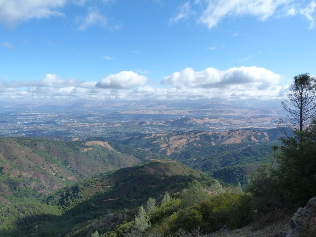
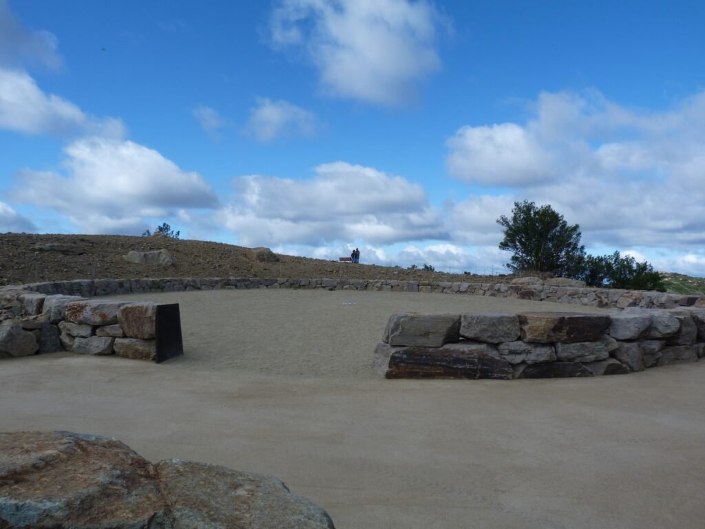
On the summit is a welcome center, the radar tower (aka the cube or the box), a ceremonial circle honoring the request of the descendants of original Native American settlers of this mountain, the east and west summits and several viewing platforms offering breathtaking views of the valley.
The history of Mt. Umunhum, one of the four tallest peaks in SF Bay Area is fascinating, spreading from Native American history to the gold rush and mining times and most recently to the Cold War era. You can immerse yourself in the history of this place as well as 360° view of valley, extending from San Francisco to Monterey Bay and Pacific Ocean.


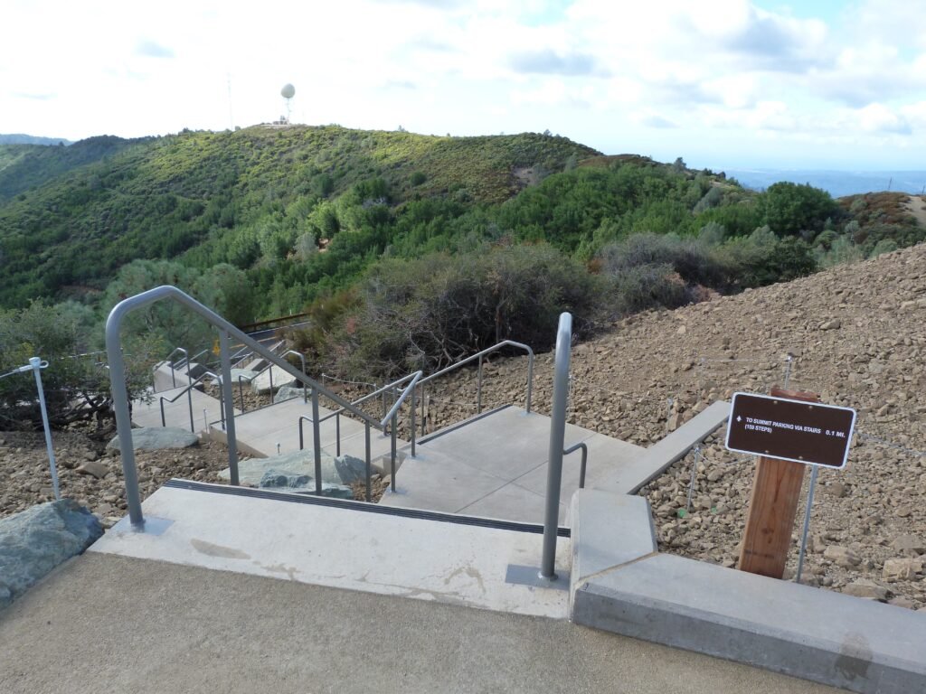
I completed the loop atop the summit taking the 159 step stairs to the parking area and connecting to Mt. Umunhum trail. Even though it was a weekday, the trail, especially the summit, was teeming with people. Expect the trails, roads and parking lots to be packed for foreseeable time, especially on weekends.
The trek back was easy with the downhill slope working in my favor. Resorting to a slow jog, I covered the return much faster.
The out and back hike from Bald Mountain staging area to Mt. Umunhum summit, including the loop atop was just shy of 8 miles and involved an elevation gain of around 1250 feet.
Bald Mountain
The same parking lot also serves as the staging area for the 1.4 mile out and back trek to Bald Mountain. This segment is billed as an easy access trail, suitable for hikers of all levels of expertise.
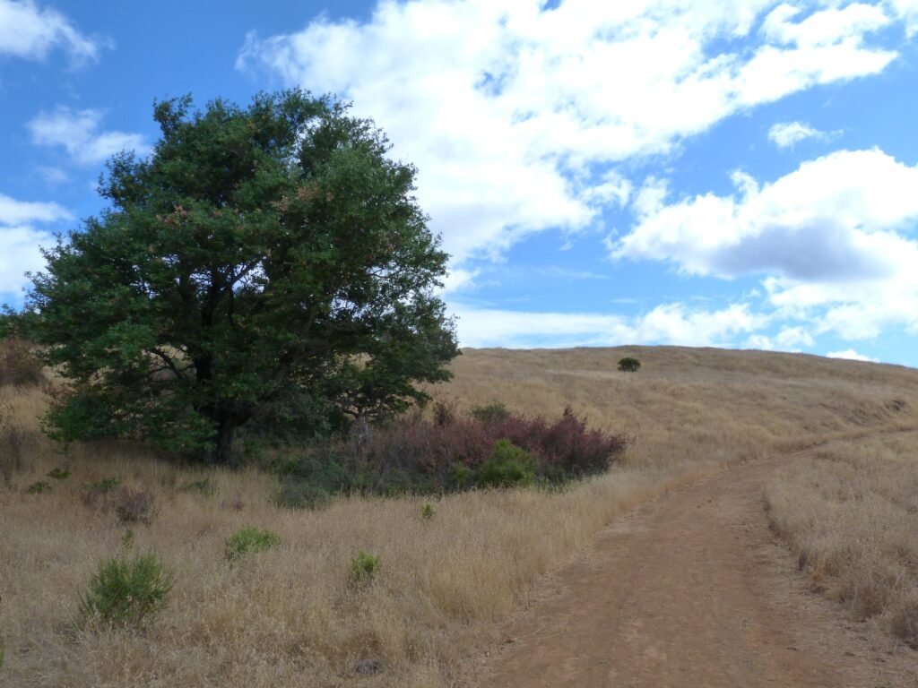
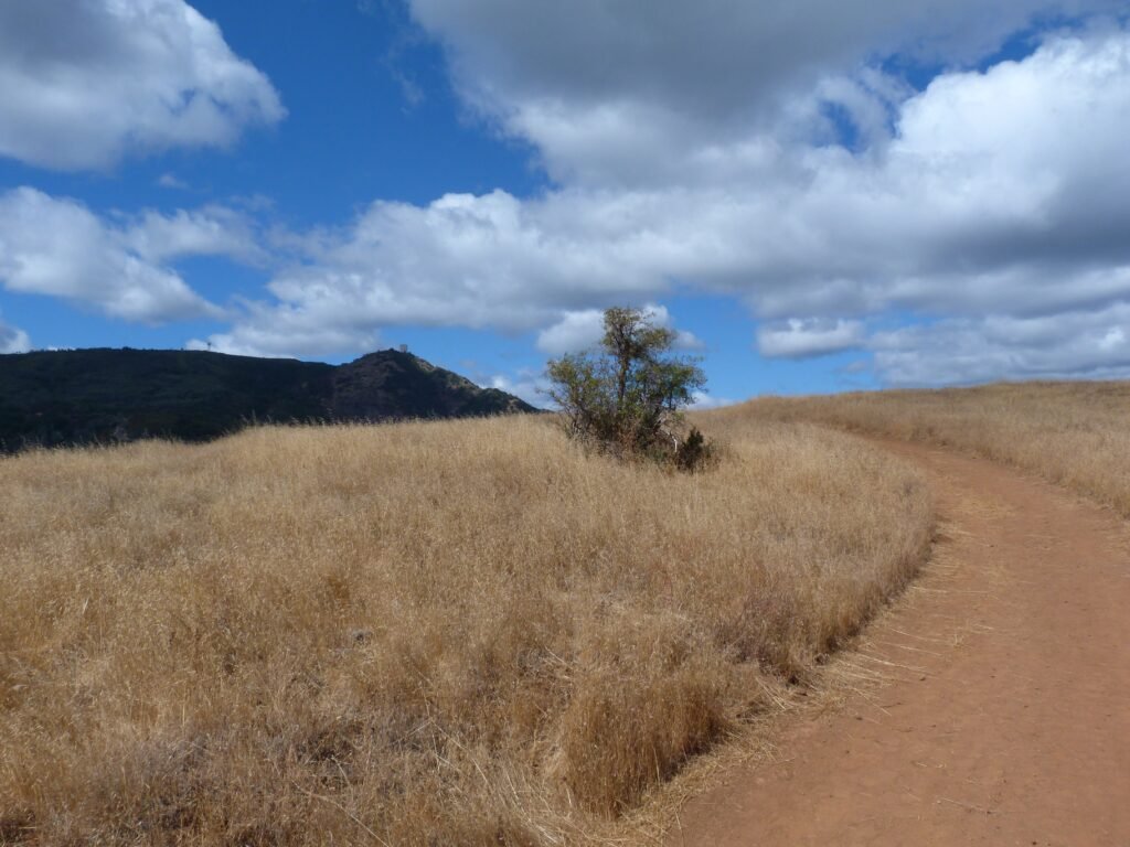
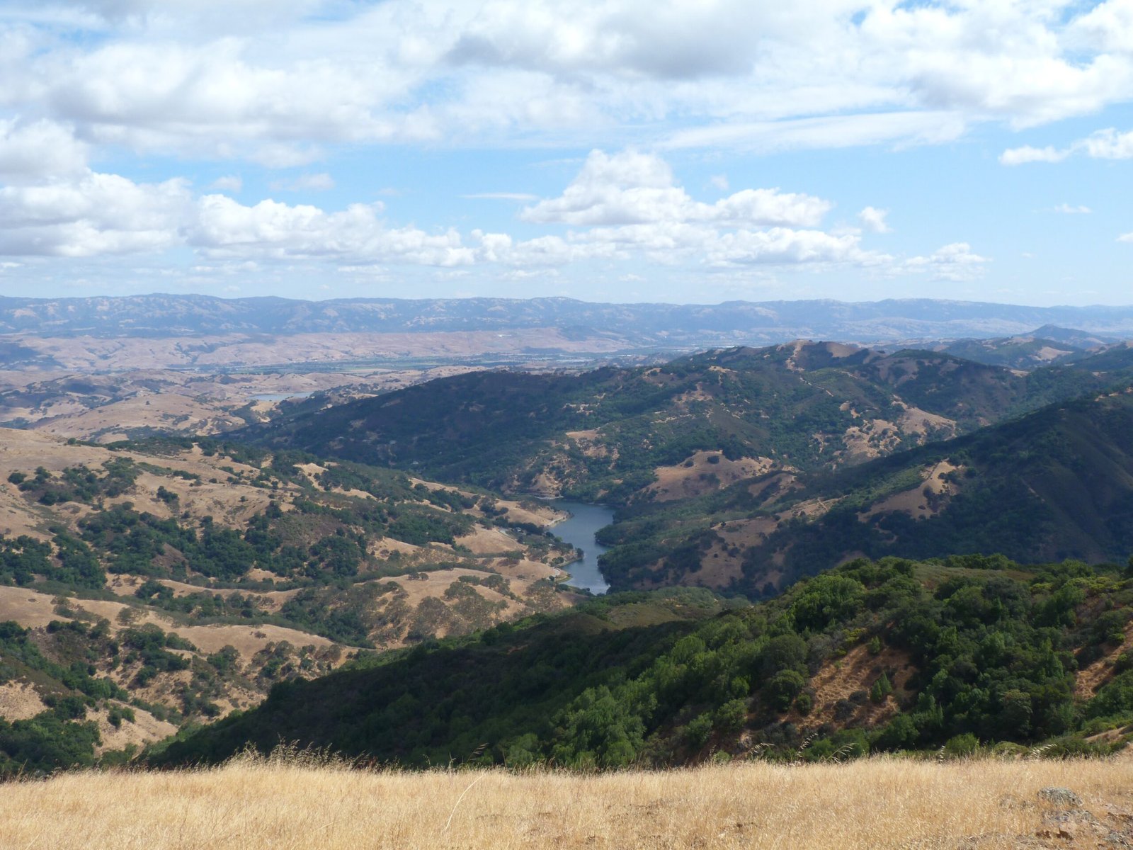
The views from this area seemed interesting and I took up this short leg after the reasonably tough hike to Mt. Umunhum summit. The views were indeed outstanding especially of Guadalupe reservoir. The contrast of the light brown and dry grass atop Bald Mountain against the green woodlands and shrubs in the neighboring hills and the reservoir and blue sky was worth the short side trip.
The short 1.4 mile out and back trek to Bald Mountain is easy, with no more than 150 feet of elev change.


Here is the complete album of photographs from my Mt. Umunhum and Bald Mountain hikes.