
Baylands by Day
An easy 6 mile hike by the bay in Palo Alto
February 20, 2015
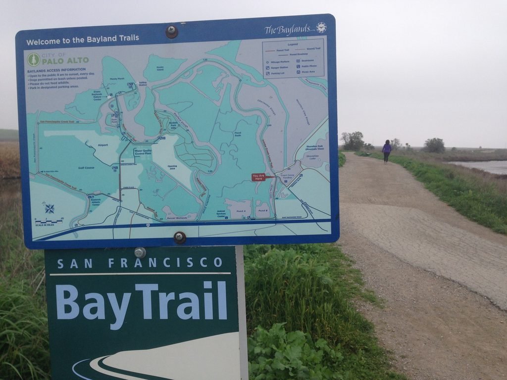
A blog about hiking in the Bay Area still doesn’t have one by the bay? That situation got remedied with our hike at the Baylands Nature Preserve in Palo Alto. We chose the trailhead located at the intersection of San Antonio Rd. and Terminal Rd., just off Hwy 101. There is plenty of street parking available on Terminal Rd.
The Baylands is part of the SF Bay Trail, which promises to be a 500 mile path around our beautiful Bay someday. We chose to do the Adobe Creek Trail, a 5.6 mile loop from where we parked into the Baylands Nature Preserve maintained by the City of Palo Alto.
The day started off with a stubborn morning fog and the sun chipping away at it steadily. A small segment leading from Terminal Rd. was paved, but it switched to a dirt trail soon after. When we were walking, it was low tide, so Charleston Slough on our right was a proper marshland. Baylands Nature Preserve is a bird-watcher’s dream, with an opportunity to see a variety of birds in their natural habitat. If you are serious, a good pair of binoculars is a must to enjoy bird-watching.
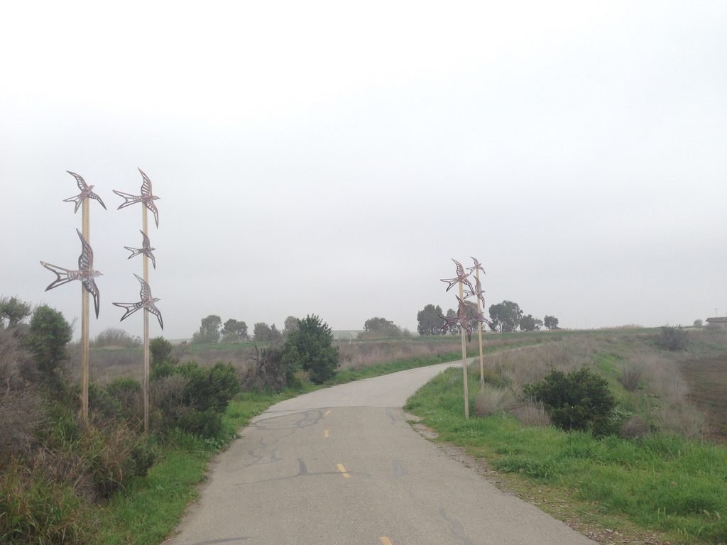
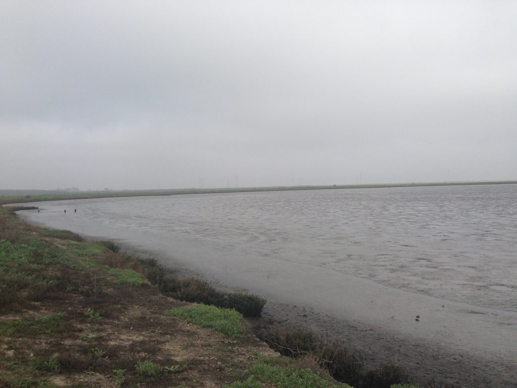
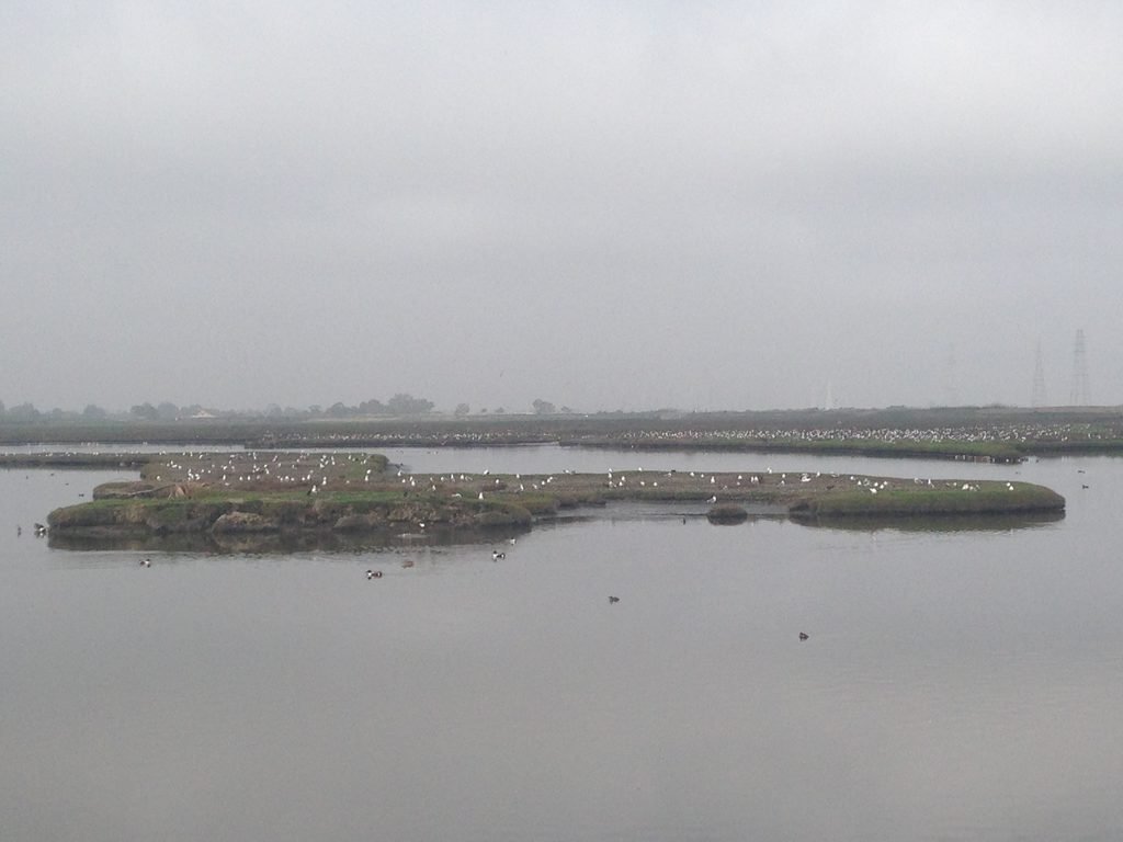
The Adobe Creek on our left had water. We continued on and came across an island on our left – with the ultimate seagull party happening there! There are a couple of good spots to observe the bay beyond the wetlands before the trail turns left and starts heading inland.
Soon, you will come upon a fork, where bearing left would keep you on Adobe Creek Trail and going right would take you to Byxbee Park & Recreation Area. Since it wasn’t a long detour, we continued towards Byxbee Park to check it out. There is a parking lot here, accessible from Embarcadero Road (off Hwy 101). Further ahead is a duck pond where Apollo isn’t welcome, so we turned around and joined the Adobe Creek Trail.
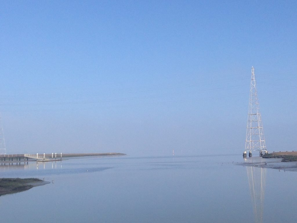
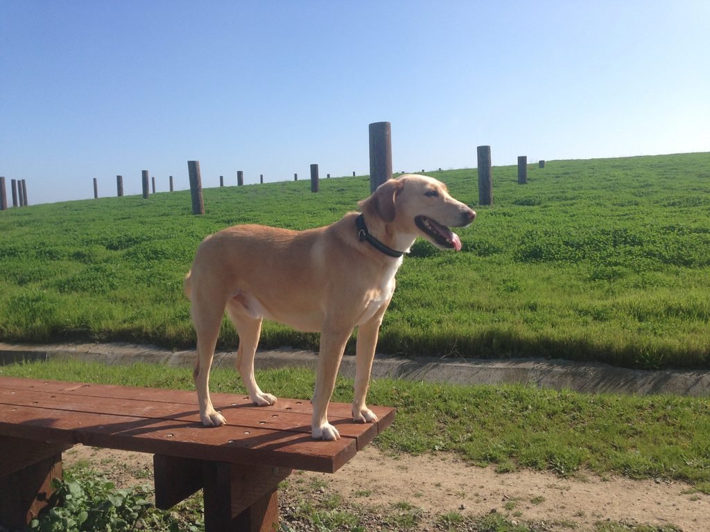
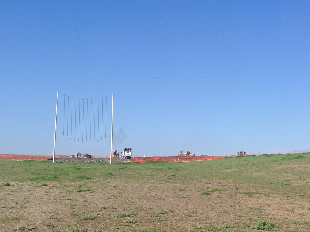
Instead of taking the trail closely following Mayfield Slough on our left, we chose to climb the small hillock, Byxbee Hill, on the right. It did provide us with a slightly elevated view of the marshlands and SF Bay. The City of Palo Alto was doing some work firming up the landfills and creating a few more dirt trails that would run up the hillside. The only interesting happening there was a hare that ran past us. Apollo’s ears perked up as he closely followed the hare before it scooted away.
With the bay to our back, the trail got a little boring, although there was a spot where I felt we were in the prime of spring even though it was still winter! The plants and shrubs were green, sporting beautiful yellow flowers, and the temperature was in the high 60s with the sun having fully emerged from the fog.
The dirt trail ends right at Hwy 101 / E Bayshore Rd. Turn left and walk towards the starting point.

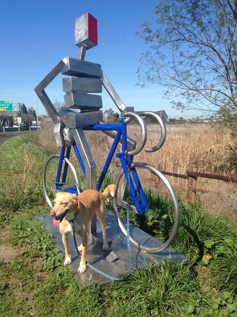
Walking three-fourths of a mile by Hwy 101 on a well-paved trail will get you to a spot where you turn left towards Shoreline Lake and pass right by Terminal Road parking. Don’t miss the stainless steel bicycle sculpture (in honor of cyclist Bill Bliss).
I’ve driven by the Baylands for nearly 20 years and had always wondered about this open space. Just as I have the answer, it’s interesting that in about a month’s time, this route will cease to be my commute!
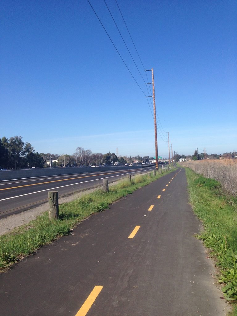
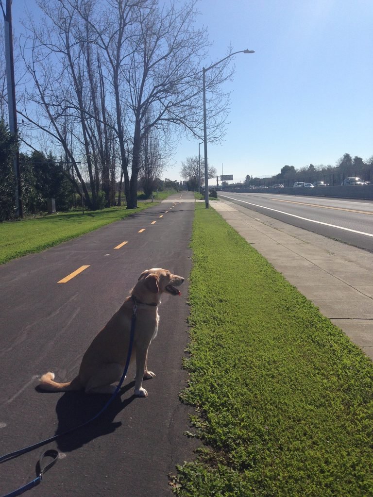
A completely flat trail by the marshlands, the 6.2 mile loop that we did today could be slightly shorter if you avoid the extra excursions we indulged in. Sure, this hike is by the Bay, but it provided just glimpses of it and piqued my interest to further explore the 350+ miles of the already completed SF Bay Trails.
Here is the complete album of photographs from our first hike at Baylands Preserve.